How GeoAI Supports Urban Resilience – Disaster Recovery
How GeoAI Supports Urban Resilience – Disaster Recovery
Urban areas are increasingly vulnerable to the impacts of climate change, natural disasters and other unforeseen events. As populations continue to grow denser, so too does the importance of developing strong urban resilience and disaster recovery plans. GeoAI emerges as a critical tool in this effort, revolutionizing the way communities prepare, respond and recover from disasters.
What is GeoAI?
GeoAI is a discipline that leverages the power of geospatial data and artificial intelligence (AI) to support informed decision-making. It applies algorithms and machine learning to analyze vast amounts of data associated with mapping, location, and spatial patterns. This enables prediction, analysis, and optimization of systems within a geographical context.
Key Features of GeoAI for Urban Resilience
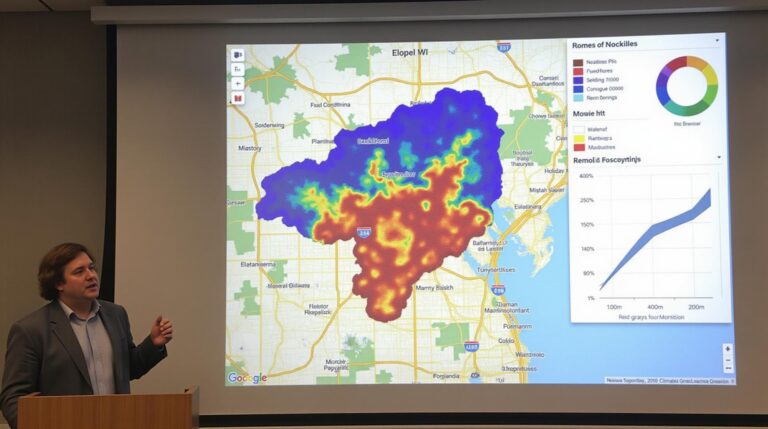
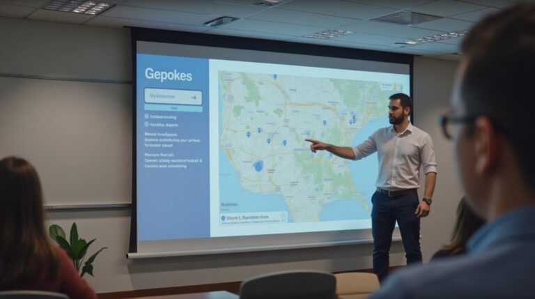
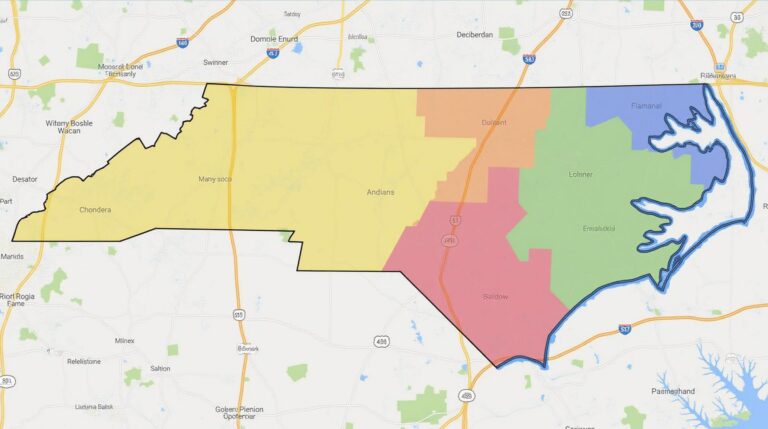
- Spatial Data Processing & Analytics: GeoAI can analyze and synthesize diverse data sources, including aerial imagery, satellite images, radar data, street maps, sensor networks, and citizen-generated information. This data can be characterized in relation to land use, infrastructure, population density and other factors critical to urban resilience.
- Predictive Modeling: GeoAI algorithms can forecast potential hazards and assess vulnerabilities of critical infrastructure, identify areas prone to flooding or wildfire, and anticipate the impact of disasters on population density.
- Real-Time Monitoring: GeoAI-enabled systems can monitor real-time environmental conditions, urban development, and traffic patterns, providing actionable insights for emergency responders and policymakers.
- Optimized Resource Allocation: GeoAI can analyze resource distribution, resource allocation patterns, and population density to optimize emergency response times, transportation networks and distribution of aid during disasters.
Benefits of GeoAI for Disaster Recovery
By empowering decision-makers with intelligent insights, GeoAI produces tangible benefits for building resilient urban environments:
- **Faster, Smoother Disaster Response:** GeoAI enables quicker mapping of damage, facilitating the deployment of rescue teams and essential supplies to impacted areas, reducing response time in the face of disasters.
- **Improved Prediction Model Accuracy:** GeoAI models can be trained to pinpoint vulnerabilities more effectively than traditional methods, leading to improved disaster preparedness strategies, mitigating lost lives and property.
- **Resource Optimization and Prioritization:** GeoAI can aid in optimizing resource allocation, directing aid and crucial supplies to areas most impacted by disaster, ensuring maximum efficiency and effectiveness.
- **More Reliable Infrastructure Assessment: ** GeoAI assists in understanding the impact of disasters on infrastructure, allowing for accurate assessments of losses and damage and informing crucial repairs and reconstruction efforts, minimizing disruptions to critical services.
Examples of GeoAI Applied to Disaster Recovery:
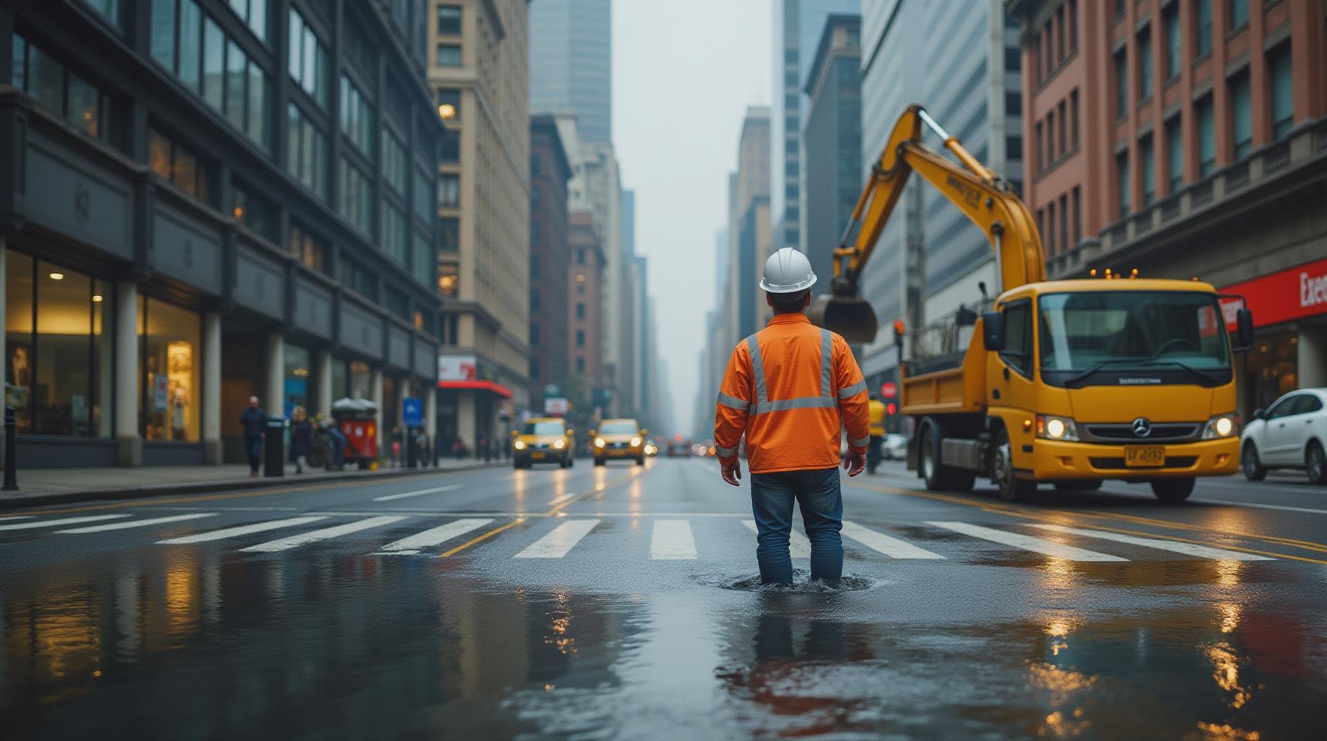
- Mapping and Damage Assessment:** Imagine a drone delivering real-time images of flood-ravaged areas, guided by sophisticated AI algorithms to pinpoint areas most heavily inundated. This data helps prioritize rescue efforts and inform relief resource allocation.
- Evacuation and Shelter Planning:** AI-powered models can predict the most strategic evacuation paths and recommend high-rise shelter locations based on factors like proximity to crucial evacuation routes, population density, and vulnerability of specific areas.
- Resource Management and Supply Chain Optimization:** GeoAI analysis of supply networks and transportation routes in disaster zones can efficiently prioritize resupply and distribute available resources to secure the most essential areas.
Resources for Further Exploration
To delve deeper into GeoAI and its applications within urban resilience, consider exploring the following resources:
- ESRI ArcGIS Pro:
GIS software platform for analyzing and managing geospatial data, including disaster response applications
- OpenStreetMap
Free and publicly shared world map data, contributing to real-time situation tracking
- IBM Cloud AI for Sustainability
Offers guidance and resources for integrating AI and data science into sustainable urban development goals
Adding GeoAI to your Urban Resilience Toolkit**
By bolstering your city’s use of GeoAI for disaster recovery, you can enhance urban well-being, minimize costly damage, and shorten recovery periods.
## GeoAI-Urban Resilience & Disaster Recovery FAQs
This guide provides answers to common questions about geoAI-urban resilience and disaster recovery.
### **What is GeoAI-Urban Resilience & Disaster Recovery?**
GeoAI-urban resilience and disaster recovery is a multifaceted approach to enhance a city’s vulnerability to hazards, including natural disasters, infrastructure failures, and pandemics.
It leverages the power of geospatial AI (geoAI) to address challenges like:
* **Hazard Mapping & Prediction**: Utilizing data from satellites, drones, IoT sensors, and historical records to create detailed maps of potential risks and vulnerabilities.
* **Infrastructural Resilience**: Analyzing interconnected infrastructure networks to identify potential failure points and develop strategies for adaptable and resilient systems.
* **Rapid Response & Recovery**: Using real-time data and AI for faster identification of impacted areas and enabling efficient resource allocation and infrastructure restoration.
### **Availability and Formats:**
* **Open Source Tools**: Several open-source platforms and tools are available for implementing geoAI-urban resilience.
* **Pre-trained Datasets**: Datasets on climate data, disaster events, urban planning, and infrastructure are found in multiple online repositories and platforms.
* **Cloud-Based Platforms**: Geospatial AI can be accessed through cloud-based platforms, offering easily configured computing power and scalable infrastructure to support projects.
* **Analytical Services**: Peer-to-peer analytical solutions and built-in functionalities for data analysis and visualization also contribute to utilizing geoAI-urban disaster recovery.
### **Usage and Implementation:**
* **Urban Planning & Development**: GeoAI data can drastically improve urban planning models, reducing the impact of future disasters.
* **Infrastructure Resiliency**: Identify critical infrastructure with a high risk of failure and proactively enhance their resilience.
* **Resource Allocation**: Quickly assess needs and enhance the allocation of disaster relief resources to affected areas.
* **Community Engagement & Participation**: GeoAI visualizations can be used to engage communities in disaster preparedness and mitigation.
* **Operator Training**: Develop simulations or AI platforms to provide staff specialized training for post-disaster response activities.
Learn more about solutions from Digital Globe
### Why is GeoAI-Urban Resilience Important?
GeoAI-urban resilience and disaster recovery are crucial for safeguarding the future of our cities. They:
* **Minimize Loss & Damage**: Reduce damage, restore infrastructure effectively, and minimize loss of life during disasters.
* **Improve Recovery:** Aid in faster and more efficient post-disaster recovery, with quicker restoration of essential services.
* **Optimize Disaster Planning**: Allow for smart prediction, preemptive measures, and informed response plans for future disasters.
* **Build More Resilient Cities**: Enable the creation of sustainable and adaptable urban systems capable of withstanding increasing risks.
* **Prepare for the Future**: Tackle climate change effects and prioritize sustainable resilience for urban environments.
### **Actionable Insights:**
* **Embrace Open Data Practices**: Access and leverage existing datasets heavily.
* **Seek Collaboration**: Work with public agencies, researchers, and collaborative platforms for the optimal utilization of resources.
* **Engage in Skills Development**: Learn relevant skills in geospatial tools and data analysis.
* **Prioritize Citizen Participation:** Encourage active participation by utilizing technology to disseminate information and engage citizens in disaster preparedness.
**GeoAI-Urban Resilience has become a necessity for building a smarter and safer future for our cities.**