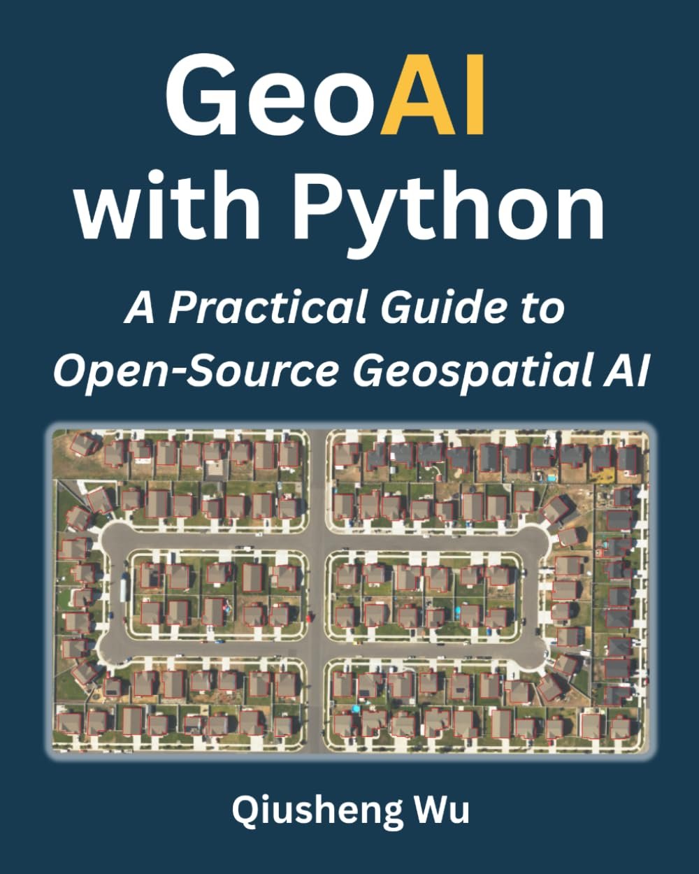
GeoAI with Python (2026): A Practical Review for GIS Professionals
Introduction
As GeoAI continues to reshape the geospatial industry, learning how to apply artificial intelligence to spatial data has become essential.
GeoAI with Python: A Practical Guide to Open-Source Geospatial Artificial Intelligence offers a hands-on approach to integrating AI into geospatial workflows using Python.
This review explores what the book delivers and how useful it is for GIS and remote sensing professionals.
Book Overview
According to the official description, this book teaches how to apply deep learning and AI to satellite imagery, aerial photos, and geospatial data using Python
It follows a complete workflow, guiding readers through:
- Accessing geospatial data
- Preparing datasets
- Training AI models
- Evaluating and deploying results
The focus is clearly on practical implementation rather than theory, making it highly relevant for real-world applications.
Key Learning Areas
The book covers essential GeoAI topics such as:
- Image classification and segmentation
- Object detection in satellite imagery
- Change detection workflows
- Deep learning applied to remote sensing
It also emphasizes working with open-source tools, allowing users to build scalable AI workflows without relying on proprietary software.
Strengths
Practical and Hands-On
The book is designed as a workflow-based guide, helping readers move from raw data to AI-driven insights.
Open-Source Ecosystem
All examples are built using Python and open-source libraries, making it accessible for students and professionals.
Real-World Focus
It focuses on satellite imagery and geospatial datasets, which are central to modern GIS and remote sensing applications.
Limitations
- Requires basic Python and machine learning knowledge
- Primarily focused on raster and remote sensing data
- Some workflows may require high computing power (GPU)
Who Should Read This Book?
This book is ideal for:
- GIS professionals transitioning to AI
- Remote sensing analysts
- Geospatial data science students
It is less suited for complete beginners with no coding background.
Available on Amazon
Conclusion
GeoAI with Python is a modern and practical resource that reflects the current direction of geospatial technology. By combining AI, Python, and open-source tools, it provides a clear pathway for professionals looking to move beyond traditional GIS workflows.
Other Related Books