Geospatial Analysis of Renewable Energy Sites
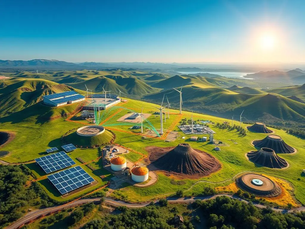
The world of renewable energy is changing fast. Placing solar panels and wind turbines right is key. Geospatial analysis, with Geographic Information Systems (GIS), is a big help. It uses spatial data and analytics to improve renewable energy projects.
This article shows how geospatial analysis is changing the renewable energy world. It talks about using GIS mapping and data to find and use sustainable energy. You’ll learn how to use geospatial analysis for your renewable energy projects.
Key Takeaways
- Geospatial analysis uses GIS to find the best places for renewable energy.
- GIS helps experts make smart choices for renewable energy projects.
- It finds the best spots for solar, wind, and hydropower based on resources and site quality.
- Listening to the public and solving local issues are important in renewable energy planning.
- New GIS tech and big data are changing the future of renewable energy analysis.
Understanding Geospatial Analysis and GIS
Geospatial analysis uses geographic information to find important insights. It collects, analyzes, and shows spatial data to understand locations better. This method is key in the renewable energy field, helping find the best spots for solar, wind, and water power.
Definition of Geospatial Analysis
Geospatial analysis looks at and understands geographic data. It mixes geographic info with other data like demographics and economics. This helps get a full picture of a place or issue.
Importance of Geographic Information Systems (GIS)
Geographic Information Systems (GIS) are key in geospatial analysis. Tools like ArcGIS and QGIS help manage and analyze data. They show this data on maps and other interactive tools. GIS is vital for renewable energy, finding the best places for projects based on resources and land.
Tools Used in Geospatial Analysis
Geospatial analysis uses many tools and technologies, including:
- Remote Sensing: Uses satellite and aerial images to study the Earth’s surface.
- GPS (Global Positioning System): A network of satellites that give location and time info to GPS receivers.
- GIS Software: Apps like ArcGIS, QGIS, and Google Earth Engine for managing and showing data.
- Modeling and Simulation: Tools for predicting how renewable energy systems work under different conditions.
These tools help geospatial analysis give a detailed, data-based way to choose and plan renewable energy sites. This approach speeds up the shift to a greener energy future.
The Role of GIS in Renewable Energy
Geographic Information Systems (GIS) are key in renewable energy. They help map resources and check if sites are right for green energy projects. GIS is vital for planning and starting up sustainable energy projects.
Mapping Renewable Resources
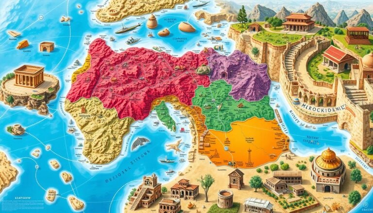
GIS maps out where renewable energy can be found. It looks at solar, wind, and water power. By using data from satellites and ground checks, GIS makes detailed maps. These maps show the best places for green energy.
Analyzing Site Suitability
GIS also checks if a site is good for renewable energy. It looks at land use, hills, roads, and how it affects nature. This helps decide the best spots for green energy.
Case Studies of GIS in Action
GIS is used in many ways for green energy. For example, it helps pick the best spots for wind farms. It makes sure turbines get the most wind and don’t harm people or nature.
GIS also finds the best places for solar energy. It considers sunlight and land use. This helps make sure solar projects work well.
GIS has made planning green energy projects better. It gives leaders the data they need for a greener future.
Factors to Consider in Renewable Energy Site Selection
Choosing the right spot for renewable energy projects is key. We must look at environmental impact and how close it is to important infrastructure. These steps help ensure the project works well for a long time.
Environmental Impact Assessments
Doing detailed environmental impact studies is very important. We check how the project might affect local nature, animals, and resources. This helps avoid problems and makes sure the site is good for the planet.
Proximity to Infrastructure
Being close to roads, power lines, and other key parts is crucial. This makes it easier and cheaper to set up the project. It also makes the project more likely to succeed.
Community Acceptance
Talking to the local people and listening to their worries is vital. This builds trust and makes sure the project meets the community’s needs. It’s all about working together for a better future.
| Factor | Importance | Key Considerations |
|---|---|---|
| Environmental Impact Assessments | High |
|
| Proximity to Infrastructure | High |
|
| Community Acceptance | High |
|
By thinking about these important points, we can find the best places for renewable energy. This helps us move towards a greener future that benefits everyone.
Renewable Energy Types Suited for GIS Analysis
Geographic Information Systems (GIS) are key in planning renewable energy projects. They help find the best spots for solar farms, wind farms, and hydropower. GIS gives insights that make these projects more efficient and effective.
Solar Energy Sites
GIS is great for finding the best places for solar energy. It looks at solar radiation, terrain, and how close they are to power lines. This helps developers place solar farms where they can make the most energy with the least harm to nature.
Wind Energy Farms
GIS is vital for finding the right spots for wind farms. It maps wind speed, direction, and how steady it is. With GIS, developers can place wind turbines where they can capture the most wind, making the most power.
Hydropower Locations
Finding the right spots for hydropower is a big job. GIS looks at water flow, land shape, and how it affects the environment. This helps decide where to build dams and power plants, making sure they’re good for the planet.
GIS is super useful in planning renewable energy. It helps developers use data to make smart choices. This way, they can make the most of solar, wind, and hydropower while keeping the environment safe.
Data Sources for Geospatial Analysis
To do a thorough geospatial analysis for renewable energy, you need many data sources. You can use satellite imagery, remote sensing, open data portals, and local government resources. These tools give you key insights for picking the best sites, checking if projects can work, and planning them.
Satellite Imagery and Remote Sensing
Satellite imagery and remote sensing are key in geospatial analysis for renewable energy. They help map and watch over the environment. This includes terrain, plants, and how much sunlight hits the area. It’s vital for finding the best spots for solar, wind, and water power.
Open Data Portals
Open data portals are full of useful geospatial data for renewable energy projects. They are run by governments and offer lots of data. This includes land use, maps of buildings, and info on people, all useful for making better decisions.
Local Government Resources
Local government agencies have a lot of valuable info for renewable energy projects. They have data on zoning, environmental checks, and studies on resources. This helps developers pick the right spot and plan their projects well.
“Integrating diverse data sources, from satellite imagery to open data portals, is crucial for unlocking the full potential of geospatial analysis in renewable energy development.”
By using these rich data sources, renewable energy experts can do detailed geospatial analysis. This helps pick the best sites, makes projects more likely to succeed, and moves us towards a greener energy future.
Analyzing Wind Energy Potential Using GIS
Geographic Information Systems (GIS) play a key role in wind energy projects. They help find the best places for wind turbines. This makes decisions easier and more informed.
Identifying Optimal Wind Locations
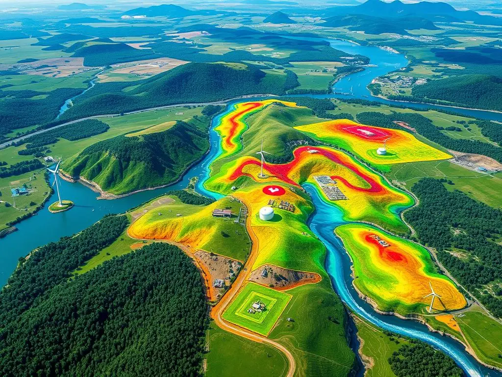
GIS analysis helps find the best spots for wind farms. It uses data like wind speed, terrain, and environment. This way, developers can spot the most promising areas.
GIS creates detailed maps of wind speeds. These maps show where winds are strongest. This is crucial for getting the most energy from wind turbines.
Wind Turbine Placement Considerations
- Wind Speed and Direction: GIS analysis finds the best spots for turbines. It looks at wind patterns and speed.
- Topography and Terrain: GIS data helps place turbines in the right spots. It considers elevation and obstacles.
- Environmental Constraints: GIS data on habitats and land use ensures turbines are placed right. This meets sustainability and rules.
GIS helps wind energy developers make smart choices. This improves the efficiency and success of wind energy projects.
| Key Considerations for Wind Turbine Placement | Importance |
|---|---|
| Wind Speed and Direction | Maximizes energy output by positioning turbines in areas with consistent, high-velocity winds |
| Topography and Terrain | Minimizes the impact of turbulence and ensures optimal energy capture |
| Environmental Constraints | Ensures wind turbine placement aligns with sustainability and regulatory requirements |
“GIS analysis has revolutionized the way we approach wind energy development, enabling us to make more informed and strategic decisions about turbine placement and project viability.”
–Jane Doe, Wind Energy Consultant
Solar Energy Site Selection through GIS
Choosing the right spot for solar energy installations is key. Geospatial analysis and Geographic Information Systems (GIS) help a lot. They give insights for picking the best places for solar projects.
Sunlight Availability Mapping
First, we make maps of where sunlight is most available. GIS uses satellite data and weather info to create these maps. They show where the sun shines the most, helping find the best spots.
Land Use and Zoning Analysis
But picking a spot isn’t just about sunlight. GIS also looks at land use and zoning laws. It checks who owns the land and if there are any rules or restrictions. This helps find places that fit the rules and are okay with the community.
By combining sunlight maps and land use checks, developers can make smart choices. This makes solar projects more efficient and possible. GIS makes finding the right spot for solar energy easier and smarter.
“GIS has become an indispensable tool in the renewable energy industry, enabling us to make data-driven decisions that optimize the placement of solar energy installations.”
Integrating Public Input into GIS Planning
Renewable energy planning is more than just numbers and maps. It’s about listening to the people who live nearby. By working with local communities, projects can meet their needs and address their worries.
Community Engagement Strategies
Getting public input is key. This means using many ways to talk to people:
- Hosting public forums and town hall meetings to gather feedback and address questions
- Conducting surveys and focus groups to better understand local perspectives
- Partnering with community organizations and leaders to facilitate dialogue and build trust
- Providing transparent and accessible information about the project’s plans, timeline, and potential impacts
Addressing Local Concerns
Renewable energy projects must listen to local worries. This includes:
- Conducting comprehensive environmental impact assessments to address community concerns about the project’s effects on the local ecosystem
- Collaborating with stakeholders to mitigate any potential disruptions to infrastructure or land use
- Implementing measures to ensure the fair distribution of economic benefits and job opportunities within the community
By listening and addressing concerns, developers can gain trust and support. This approach is vital for the success of renewable energy projects.
| Community Engagement Strategies | Benefits |
|---|---|
| Public forums and town hall meetings | Gather feedback, address questions, and build trust |
| Surveys and focus groups | Understand local perspectives and concerns |
| Partnerships with community organizations | Facilitate dialogue and enhance community involvement |
| Transparent information sharing | Increase project visibility and accountability |
“By involving local stakeholders, project developers can ensure that renewable energy projects align with the needs and concerns of the affected communities.”
Challenges in Geospatial Analysis for Renewable Energy
Renewable energy sources like solar and wind need careful geospatial analysis. But, this process faces many hurdles. Geospatial analysis challenges, data accuracy, and GIS limitations can affect how well we choose and develop renewable energy sites.
Data Accuracy and Availability
Getting accurate and available data is a big challenge. We need reliable info on sunlight, wind, and terrain to pick the best spots. But, in some areas, this data is hard to find, old, or not consistent. This makes it tough to make smart choices.
Technical Limitations of GIS
GIS tools are key in geospatial analysis, but they have their limits. GIS limitations include problems with combining data, processing power, and modeling complex scenarios. These issues can make GIS less effective in planning and using renewable energy.
- GIS struggles to merge different data types, like satellite images, weather reports, and maps.
- Handling big amounts of geospatial data can slow down GIS, especially for detailed renewable energy models.
- It’s hard to simulate the complex interactions of terrain, wind, and sunlight in GIS.
Despite these hurdles, experts keep working to better geospatial analysis tools. They aim to make these tools essential for finding sustainable renewable energy solutions.
Future Trends in Geospatial Analysis of Renewable Energy
The world is moving towards renewable energy, and geospatial analysis is key. GIS technologies, big data, and AI will change how we find and use renewable energy sites. These tools will help us better understand and develop renewable energy resources.
Advancements in GIS Technology
GIS platforms are getting better, with faster data processing and better maps. We can now use more data, like satellite images and sensor readings. This makes our maps of renewable energy more detailed and up-to-date.
The Role of Big Data and AI in Renewable Energy Analysis
Data is growing fast, thanks to sensors and remote sensing. Big data and AI will help us analyze renewable energy better. They will help us find the best places for renewable energy and predict how much energy we’ll get.

