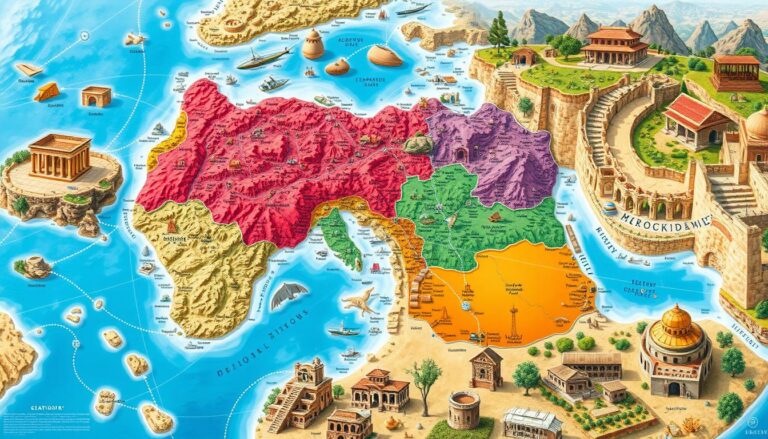
Enhancing Urban Areas with GIS and Green Infrastructure
As cities grow, planners and policymakers seek new ways to make them sustainable. Geographic Information Systems (GIS) and green infrastructure are key tools in this effort. This article shows how these tools work together to make cities better places to live.
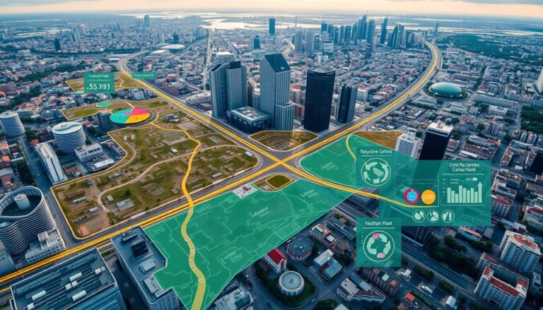
GIS uses data to help planners understand their cities. It shows everything from land use to infrastructure. This technology helps cities make smart decisions by analyzing this data.
Green infrastructure, on the other hand, uses nature to improve cities. It includes things like parks and green roofs. These solutions help fight climate change and make cities healthier.
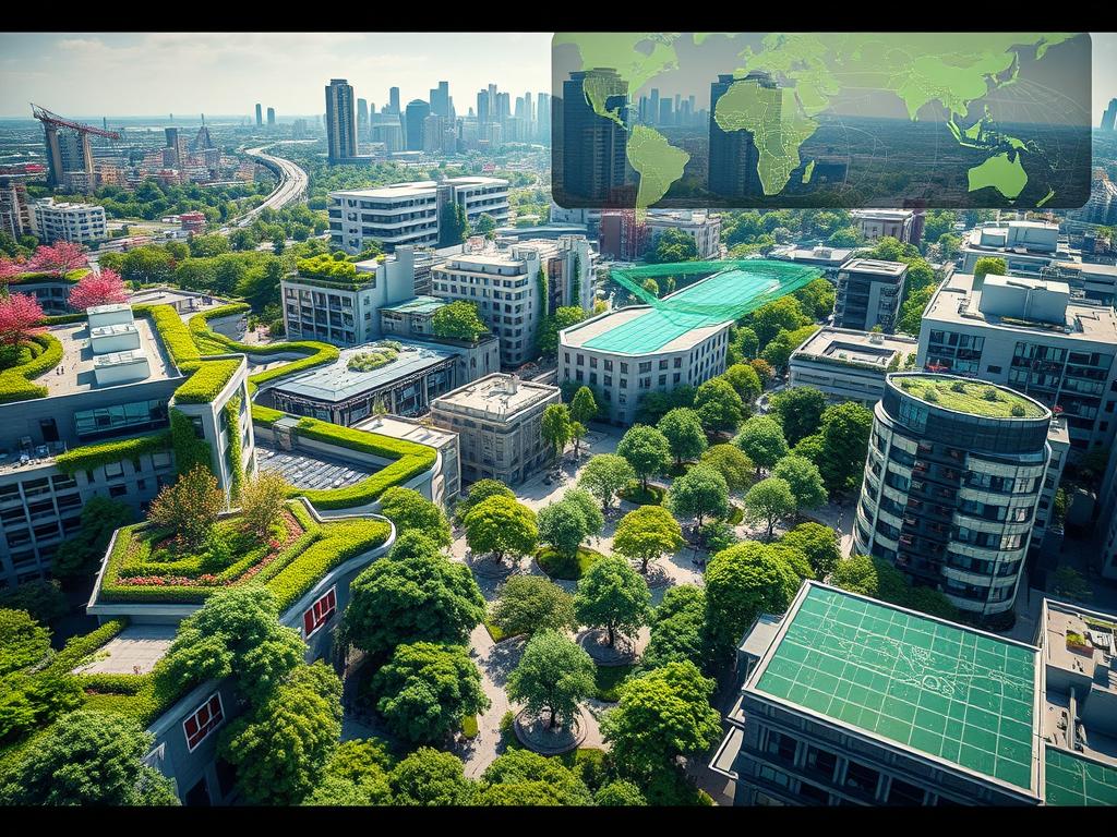
When GIS and green infrastructure work together, they create a powerful team. Planners can use data to design better, greener cities. This approach makes cities more livable and environmentally friendly for everyone.
Key Takeaways
- GIS and green infrastructure are transforming urban planning, enabling data-driven and sustainable solutions.
- GIS provides comprehensive spatial data and analysis to support decision-making, while green infrastructure offers nature-based solutions to address environmental challenges.
- The integration of these two approaches can enhance the livability, resilience, and environmental quality of cities.
- Mapping green spaces, analyzing urban heat islands, and designing sustainable landscapes are some of the key benefits of combining GIS and green infrastructure.
- Effective implementation of GIS and green infrastructure requires collaboration, community engagement, and a long-term commitment to sustainable urban development.
Understanding GIS and its Role in Urban Planning
Geographic Information Systems (GIS) have changed how cities are planned and managed. They help planners and decision-makers use data to make better decisions. This leads to smarter city development and management.
What is GIS?
GIS is a system that uses computers to handle and analyze data. It helps users create maps and reports. This makes it easier to understand and share information about places.
How GIS Works
GIS combines different types of data to help planners. It looks at things like population, land use, and infrastructure. This way, planners can see the big picture and make better choices.
| GIS Data Types | Examples |
|---|---|
| Vector Data | Roads, buildings, property boundaries |
| Raster Data | Satellite imagery, aerial photographs, digital elevation models |
| Tabular Data | Census data, zoning information, utility records |
Benefits of GIS in Urban Areas
Using GIS tools in urban planning brings many advantages. Some of these include:
- Improved decision-making: GIS helps planners make choices based on data.
- Efficient resource allocation: It helps focus on the most important needs in the city.
- Enhanced spatial analysis: GIS makes it easier to understand complex urban issues.
- Improved disaster response and resilience: GIS aids in emergency planning and response.
As cities face new challenges, the importance of GIS tools in urban planning and spatial analysis will grow. They are key to creating sustainable, livable, and resilient cities.
The Concept of Green Infrastructure
Green infrastructure is a smart way to plan cities. It uses nature to make cities better and stronger. This includes things like urban forests, green roofs, and special kinds of pavement.
By adding these green infrastructure parts, cities become more beautiful and sustainable. They also get many benefits.
Definition of Green Infrastructure
Green infrastructure is a network of natural and semi-natural parts in cities. It helps cities in many ways. It makes cities better places to live.
Types of Green Infrastructure
- Urban forests and tree canopies
- Green roofs and vertical gardens
- Bioswales and rain gardens
- Permeable paving and green alleys
- Urban wetlands and riparian corridors
- Community gardens and urban farms
Benefits for Urban Environments
Using green infrastructure in cities has many advantages. Here are some:
- It makes the air cleaner and cools cities down.
- It helps manage stormwater and prevent floods.
- It increases the number of plants and animals in cities.
- It makes people healthier and happier by giving them green spaces.
- It also makes properties more valuable and helps local businesses.
| Benefit | Description |
|---|---|
| Air Quality Improvement | Urban trees and plants clean the air. They reduce harmful particles and cool cities down, making the air healthier. |
| Stormwater Management | Green features like bioswales and special pavement catch and clean stormwater. This reduces flooding and improves water quality. |
| Biodiversity Enhancement | Green spaces in cities are homes for many plants and animals. They support local ecosystems and increase biodiversity. |
By using green infrastructure, cities can become more sustainable and better for people. This helps cities thrive while protecting nature.
Integrating GIS with Green Infrastructure
Using Geographic Information Systems (GIS) with green infrastructure is key for sustainable cities. GIS helps map and analyze how natural and built environments fit together in cities.
Mapping Green Spaces
GIS lets urban planners make detailed maps of green areas like parks and gardens. It uses data and images to spot and sort these spaces. This info is vital for planning green spaces that make cities better and more resilient.
Analyzing Urban Heat Islands
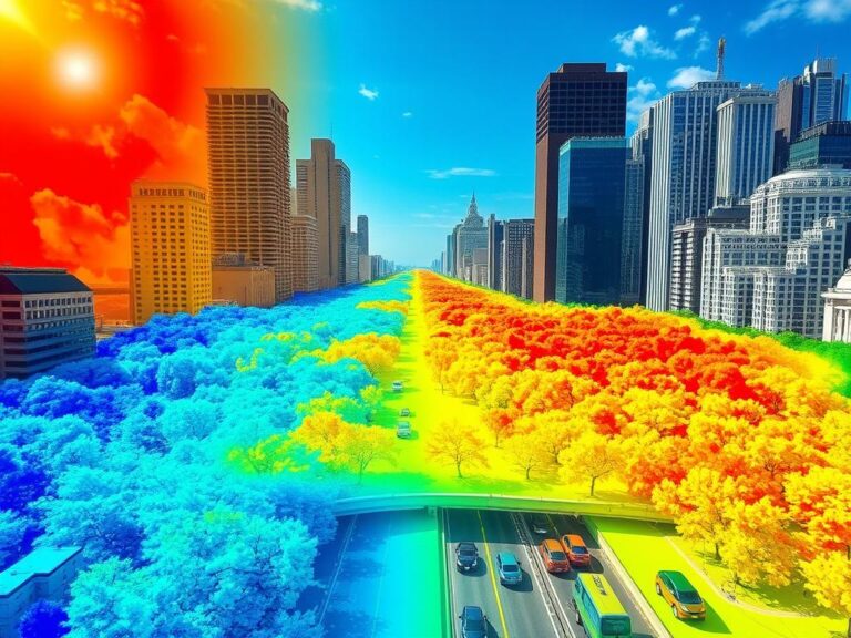
GIS is great for studying urban heat islands. It mixes data from satellites, sensors, and land use to find hot spots in cities. This helps plan where to add green spaces to cool down the city.
Designing Sustainable Landscapes
GIS is also key for designing green spaces in cities. It combines data on soil, water, and plants to guide planners. This ensures green spaces are effective and good for the environment.
| GIS Application | Benefit for Green Infrastructure |
|---|---|
| Mapping Green Spaces | Identification and assessment of natural assets for comprehensive green infrastructure strategies |
| Analyzing Urban Heat Islands | Targeted interventions to mitigate the effects of urban heat islands and improve climate resilience |
| Designing Sustainable Landscapes | Data-driven approach to create green infrastructure solutions tailored to local conditions |
GIS and green infrastructure together offer a lot of benefits. They help make cities better, more sustainable, and resilient.
Benefits of GIS in Managing Green Infrastructure
Geographic Information Systems (GIS) are key in managing green spaces in cities. They help urban planners and policymakers make better decisions. This leads to more efficient and effective green infrastructure projects.
Improved Decision-Making
GIS gives a detailed view of city landscapes. This helps decision-makers choose the best places for green spaces. They can also check how well current green areas are doing and use resources wisely.
Data-Driven Strategies
Using GIS, urban planners can create plans based on data. They can find the best ways to tackle problems like heat islands or poor stormwater management. This ensures green projects meet each community’s specific needs.
Enhanced Community Engagement
GIS tools help get more people involved in planning green spaces. Interactive maps let residents give feedback and work with local officials. This makes people feel more connected to their neighborhoods and helps green projects last longer.
By using GIS tools, urban planners can make better choices. They can plan more effectively and involve the community in green space management. This approach helps build better, greener, and more resilient cities.
Case Studies: Cities Utilizing GIS and Green Infrastructure
Many cities are working hard to become more sustainable. They’re using innovative strategies that combine geographic information systems (GIS) and green infrastructure. Let’s look at three amazing examples of how this approach is making a difference.
New York City’s Green Roofs Initiative
New York City is known for its tall buildings. But it’s also taking steps to make its cityscape greener. The Green Roofs Initiative encourages buildings to have green roofs, which are covered in plants.
City planners use GIS to find the best places for these green roofs. They can see how much energy they’ll save and track their progress. This makes New York City cooler and helps manage stormwater runoff.
Chicago’s Urban Forest Strategy
Chicago is changing its cityscape with the Urban Forest Strategy. They use GIS to map their trees and plan where to plant more. This strategy improves air quality and makes the city cooler.
Chicago is dedicated to making its city better. They’re using GIS and green infrastructure to improve life for everyone.
Seattle’s Green Stormwater Infrastructure
Seattle deals with a lot of rain. They’re using green infrastructure to manage stormwater. GIS helps them find areas that flood and design solutions like rain gardens.
This approach reduces flooding and helps groundwater. Seattle shows how GIS and green infrastructure can make cities better.
These examples show how GIS and green infrastructure can improve cities. New York, Chicago, and Seattle are leading the way. Other cities can follow their examples to become more sustainable.
Challenges in Implementing GIS and Green Infrastructure
Using GIS (Geographic Information Systems) and green infrastructure in urban planning is complex. Cities face many challenges that make it hard to implement these strategies. Let’s look at some of the main obstacles urban planners deal with.
Data Accessibility Issues
Getting the right data is a big challenge. To use GIS and green infrastructure well, cities need a lot of detailed data. This includes information about land use, plants, and the environment. But, getting and keeping this data can be hard, especially for cities with limited resources or old systems.
Funding and Resource Allocation
Starting and keeping GIS and green infrastructure going needs a lot of money and resources. Cities often find it hard to get enough funds for the setup, upkeep, and updates. Finding a balance between budget limits and long-term benefits is tough for urban planners.
Community Awareness and Engagement
Getting the community involved is also key. Teaching people why these strategies are important and making them feel like they own the project is hard. Changing minds and getting people to participate is crucial for success.
To tackle these issues, urban planners need a variety of solutions. They might work with data providers, look for new funding sources, and do big community outreach efforts. By solving these problems, cities can make their environments more sustainable, strong, and better for living.
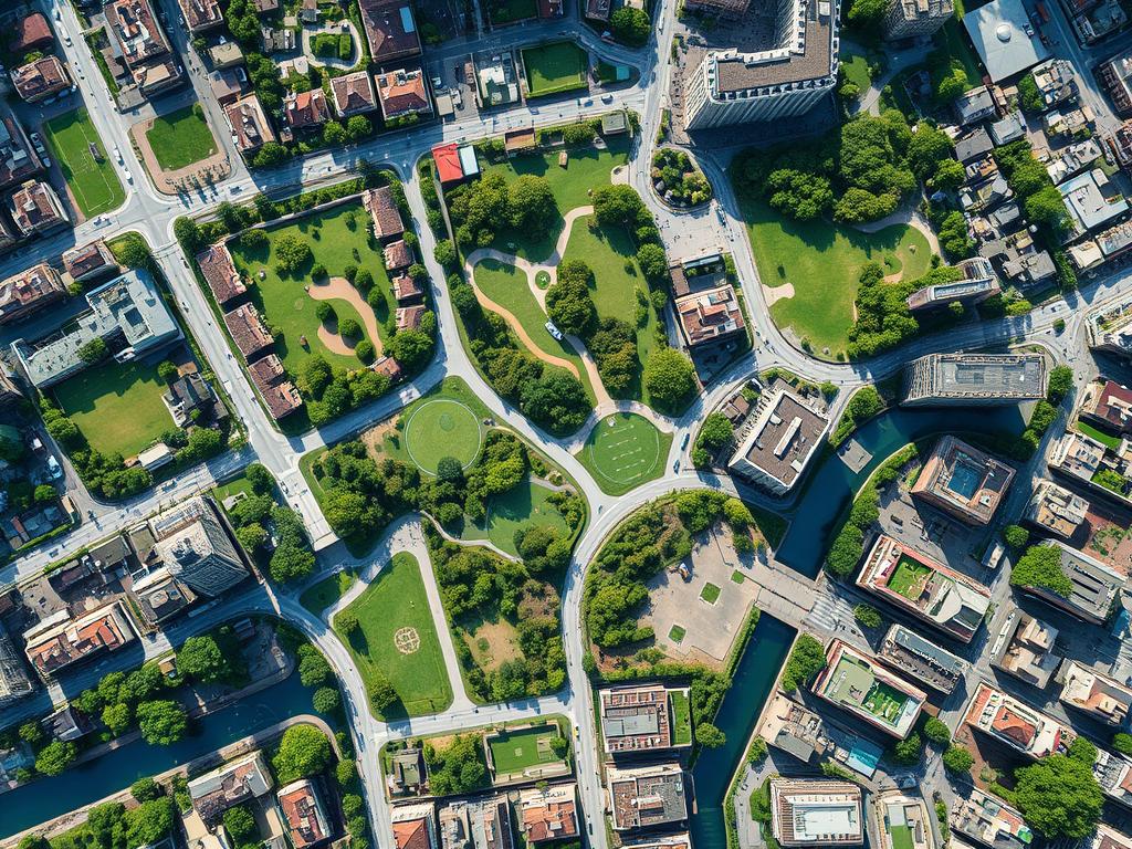
“The most successful green infrastructure projects are those that are truly integrated into the urban fabric, with community buy-in and long-term maintenance plans in place.”
Future Trends in GIS and Green Infrastructure
The world is getting more urban, and GIS and green infrastructure are key to sustainable cities. New tech, policy shifts, and a focus on biodiversity are changing how we plan cities.
Technological Innovations
Advanced tech like AI and machine learning will change urban planning with GIS. These tools will help map cities better, predict changes, and analyze ecosystems in real-time. This will help city planners make choices that are good for the planet and people.
Policy Changes and Support
Government and policy leaders see the value of GIS and green infrastructure. They’re offering more money, changing rules, and starting programs to encourage these solutions. This will make sustainable cities the standard, not just a dream.
Increasing Importance of Biodiversity
- As cities grow, keeping urban biodiversity alive will be crucial in GIS and green planning.
- GIS tools will help city planners find and protect special areas. They’ll also help use native plants and create green spaces that support many species.
- This focus on biodiversity will make cities look better and work better. It will also help with air quality, managing rainwater, and fighting climate change.
The future of GIS and green infrastructure looks bright. It promises cities that are sustainable, resilient, and full of life. By following these trends, city leaders and planners can make cities that are great for everyone, blending tech and nature perfectly.
Best Practices for Urban Planners
Urban planners are key in making cities more sustainable and resilient. They use GIS and green infrastructure in their plans. Here are some best practices for them.
Assessing Community Needs
Good urban planning starts with knowing what the community needs. Planners should talk to locals, businesses, and groups to understand the area’s challenges and chances. GIS helps them make detailed maps and analyses to tackle these needs.
Collaborative Planning Approaches
Using GIS and green infrastructure needs teamwork. Planners should work with policymakers, designers, and the community. This way, everyone’s voice is heard, and plans reflect a shared vision for a better city.
Monitoring and Evaluating Outcomes
Using GIS and green infrastructure is an ongoing task. Planners need to keep track of how well their plans work. They should set clear goals and check progress often. This shows the community the real benefits of their work.
By following these practices, urban planners can make cities better. They use GIS and green infrastructure to create sustainable, resilient, and livable places for everyone.
Engaging the Community with GIS and Green Infrastructure
Successful urban planning needs community help. Using GIS and green infrastructure projects is key. This part talks about how to get people involved and aware of these tools.
Public Workshops and Education
Public workshops and education are great for community involvement. They let people learn about GIS and green infrastructure. It’s a chance to share benefits and get feedback.
By teaching people, we make them feel part of the project. This builds a sense of ownership and investment.
Involving Local Stakeholders
It’s important to work with local groups, businesses, and neighborhoods. They know what the community needs. Their help makes sure projects meet local concerns.
Together, we can make projects that people care about. This way, we support sustainability and urban planning that works for everyone.
Using Social Media for Awareness
Social media is a big help in today’s world. It’s a way to share info and get people involved. Urban planners can post updates and encourage people to join in.
This makes people feel connected to the planning process. It helps build a strong community spirit.
By using these methods, we can really engage the community. This makes sure GIS and green projects meet local needs. It’s a win-win for everyone, making cities better and stronger.
Tools and Technologies for GIS and Green Infrastructure
Urban planners and policymakers are working hard to make cities better and greener. They use GIS tools and green infrastructure to do this. These technologies change how we plan cities and manage green spaces.
Popular GIS Software
There are many GIS software options for urban planners. ArcGIS, QGIS, and Google Earth Engine are top choices. They have features that help with urban planning and green projects.
Mobile Apps for Field Data Collection
Mobile apps are key for collecting data outside. Apps like ArcGIS Collector, Survey123, and OpenStreetMap help gather important data. This data is used for making smart decisions and managing projects well.
Utilizing Drones for Mapping
Drones have changed how we map cities. They take high-quality aerial photos. This helps planners see green spaces and other important areas clearly.
| GIS Software | Mobile Apps | Drone Mapping |
|---|---|---|
| ArcGIS | ArcGIS Collector | High-resolution aerial imagery |
| QGIS | Survey123 | Detailed urban analysis |
| Google Earth Engine | OpenStreetMap | Identification of green spaces |
These advanced GIS tools help planners make better decisions. They also improve community involvement and sustainable city growth. This makes cities better for everyone living there.
Effective Strategies for Maintenance and Upgrades
Keeping urban green infrastructure in top shape is key for its long-term success. Regular checks, community help, and being ready for climate change are important. These steps help cities manage their green investments well.
Regular Assessment Protocols
It’s vital to have regular checks to find what needs fixing or improving. This means doing inspections, checking on green spaces, and looking at stormwater systems. By keeping an eye on green infrastructure, cities can fix problems early and keep these systems working well.
Community Volunteer Programs
- Getting local people and groups to help with green spaces is a smart move.
- Projects like planting trees or starting gardens not only keep areas nice but also make people feel they own them.
- By getting everyone involved, cities can keep and improve their green spaces together.
Adapting to Climate Change
Cities need to change their green plans as climate change gets worse. This might mean picking plants that don’t need much water, using water wisely, or making stormwater systems stronger. By being proactive, cities can keep their areas green and strong, even as the weather changes.
“Effective maintenance and continuous upgrades are the keys to ensuring the long-term success of urban green infrastructure projects.”
By using these strategies, cities can make sure their green systems keep giving back. They help with water, cooling, and more. Plus, they’re ready for whatever the city needs next.
Conclusion: The Future of Sustainable Urban Development
Looking ahead, combining GIS and green infrastructure is key to making cities better. Policymakers are crucial in making this happen. They can pass laws, fund projects, and bring people together.
The Role of Policymakers
Policymakers should focus on using GIS and green infrastructure. They need to create rules that help cities use these tools. This means making data easy to get, working together, and training people.
Vision for Resilient Cities
We want cities that are good for the planet and people. Using GIS and green infrastructure can help. It can fight climate change, improve nature, and make air and water cleaner. This way, cities will be strong and welcoming.
Call to Action for Community Involvement
We all need to help make cities better. People, businesses, groups, and schools can all help. By working together, we can use GIS and green infrastructure to make our cities great for the future.

