GIS for Disaster Management
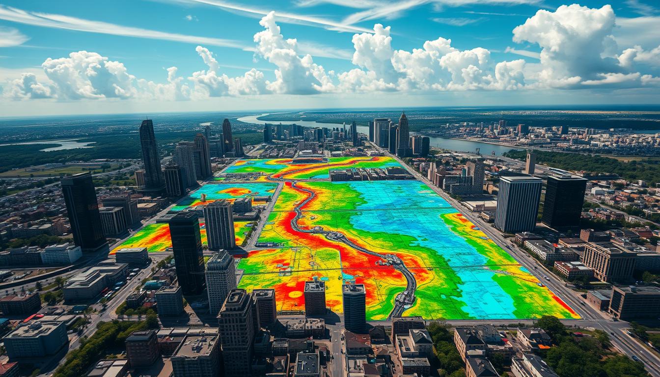
Geographic Information Systems (GIS) are key in disaster management. They help emergency teams and leaders deal with crises. GIS uses spatial analysis to guide emergency responses and recovery plans.
GIS lets us see and use many types of data. This includes satellite images and real-time sensor data. It also includes info on people and buildings. This view helps us understand situations better, plan resources, and work together in emergencies.
GIS helps in many ways. It can show where a wildfire is, track a hurricane, or find who’s most at risk from floods. It gives insights for making smart choices and improving how we handle disasters. With GIS, we can prepare for, respond to, and lessen the effects of big disasters. This saves lives and reduces damage to our economy and environment.
Key Takeaways
- GIS technology enhances emergency response capabilities through advanced spatial analysis and data integration.
- GIS enables risk assessment, natural disaster tracking, and coordination of relief efforts for more effective disaster management.
- Visualization and analysis of geospatial data provide a comprehensive understanding of disaster scenarios, enabling informed decision-making.
- GIS supports a wide range of applications, from hazard mapping and resource allocation to shelter location analysis and logistics planning.
- Integrating GIS with emerging technologies, such as drones and machine learning, can further optimize disaster management strategies.
Introduction to GIS in Disaster Management
Geographic Information Systems (GIS) are key in disaster management. They combine different types of data to understand areas or situations. This helps emergency teams, policymakers, and disaster experts make better decisions during crises.
Definition of GIS
GIS is a computer system for working with spatial data. It uses data like satellite images and GPS to create detailed maps. These maps help in many areas, including disaster management.
Importance of GIS
GIS is very important in disaster management. It helps find risky areas and plan better. GIS also lets emergency teams work together more efficiently. It’s crucial for disaster planning and relief efforts.
| GIS Capabilities in Disaster Management | Benefits |
|---|---|
| Hazard and risk mapping | Identify and visualize high-risk areas to prioritize prevention and mitigation efforts |
| Real-time monitoring and tracking | Provide real-time situational awareness to support decision-making and resource allocation |
| Damage assessment and recovery planning | Evaluate the extent of damage and plan for effective recovery and reconstruction efforts |
GIS has changed how we handle disasters. It uses spatial data to help emergency teams and decision-makers. GIS is essential for saving lives and reducing disaster damage.
Historical Context of GIS in Emergency Response
The story of GIS in emergency response is filled with exciting tech advancements. It started in the 1960s and has grown a lot since then. GIS has been key in making disaster management better.
Early Uses of GIS
In the 1960s, GIS was first used to study natural disasters. The Canada Geographic Information System (CGIS) was one of the first. It helped track and manage wildfires in Canada.
As GIS got better, it was used for other emergencies too. This included monitoring floods and analyzing earthquakes.
Evolution of Technology
GIS technology has grown a lot over the years. New tools like satellite imagery, GPS, and remote sensing have changed how we use GIS. These tools have made emergency responses more accurate and quick.
GIS now works with new tech like drones and GIScience. This has made disaster management even better. We can now do better risk assessments and plan better.
| Year | Milestone | Impact on Emergency Response |
|---|---|---|
| 1960s | Development of the Canada Geographic Information System (CGIS) | Tracked and managed wildfires in Canada |
| 1970s-1980s | Incorporation of satellite imagery and GPS | Improved accuracy and timeliness of emergency response efforts |
| 1990s-2000s | Integration of GIS with drones and GIScience | Enhanced risk assessment, resource allocation, and coordination of emergency operations |
GIS has changed a lot in emergency response. It shows how tech can help us get ready for and handle disasters. We’ll see even more cool uses of GIS in the future.
Key Applications of GIS in Disaster Management
Geographic Information Systems (GIS) are key in disaster management. They change how we map hazards, assess risks, and use resources. These tools help save lives and lessen disaster impacts.
Hazard Mapping
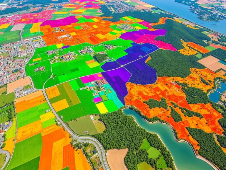
GIS is vital for hazard mapping. It combines data to show where and when disasters might hit. This helps communities and emergency teams plan better.
Risk Assessment
GIS helps with detailed risk assessments. It overlays hazard maps with data on people and buildings. This helps focus on high-risk areas for better planning.
Resource Allocation
After disasters, GIS helps manage resources. It finds the best places to send aid and teams. This makes disaster relief more effective.
GIS’s role in disaster management shows its power. It helps communities get ready, respond, and recover from disasters. This makes them more resilient.
| GIS Application | Description | Benefits |
|---|---|---|
| Hazard Mapping | Integrating data to visualize potential hazards | Improved preparedness and mitigation strategies |
| Risk Assessment | Overlaying hazard data with asset information | Prioritized resource allocation and targeted efforts |
| Resource Allocation | Optimizing supply distribution and personnel deployment | Efficient disaster response and recovery |
Data Collection Techniques for GIS
Accurate and comprehensive data is key for a good Geographic Information System (GIS) in disaster management. Geospatial experts use many ways to get the data they need. This includes remote sensing and surveying.
Remote Sensing
Remote sensing, like satellite imagery and aerial photos, is vital for GIS data in disaster management. These tools quickly get detailed, high-resolution data on affected areas. They show damage, where important stuff is, and where resources are.
Remote sensing data helps make accurate maps and visualizations. This lets emergency responders make smart choices and use resources well.
Surveying Methods
Traditional surveying is also key for GIS data. Ground surveys by experts get detailed, on-the-ground info. This info adds to what aerial and satellite data gives.
Surveying, like GPS and laser scanning, precisely measures and maps important stuff in disaster zones. This includes infrastructure and terrain features.
By mixing remote sensing and surveying data, GIS pros make detailed, current spatial info. This info helps plan, coordinate, and do disaster response and recovery work.
Integration of GIS with Other Technologies
Geographic Information Systems (GIS) are key in modern disaster management. They work well with new technologies to help in emergency responses. GIS is making big strides in using drones and Unmanned Aerial Vehicles (UAVs), and in Geographic Information Science (GIScience).
Drones and UAVs
Drones and UAVs have changed disaster management with GIS. They can carry cameras, thermal sensors, and more to gather data from disaster areas. This data helps emergency teams understand the situation better, making their decisions more informed and their actions more effective.
- Rapid aerial assessments of disaster zones
- Identification of affected areas and damage assessment
- Monitoring of ongoing events, such as wildfires or floods
- Delivery of critical supplies and aid to remote or inaccessible areas
Geographic Information Science (GIScience)
Geographic Information Science (GIScience) has been vital in improving GIS for disaster management. Scientists and experts in GIScience are always finding new ways to use spatial data and analysis. This helps GIS do more in emergency responses.
| GIScience Advancements | Impact on Disaster Management |
|---|---|
| Spatial data integration | Seamless integration of various data sources, including satellite imagery, ground-based sensors, and crowdsourced information |
| Predictive modeling | Improved forecasting and risk assessment for natural disasters, such as floods, earthquakes, and wildfires |
| Real-time data processing | Rapid analysis and visualization of evolving situations, enabling faster decision-making and response |
The use of GIS with drones, UAVs, and GIScience has greatly helped emergency teams. It has improved how they manage disasters, reduce damage, and save lives.
Role of GIS in Natural Disasters
Geographic Information Systems (GIS) are key in managing and reducing the effects of natural disasters. They help track floods, analyze earthquakes, and manage wildfires. GIS gives vital insights that improve emergency responses and disaster readiness.
Flood Monitoring
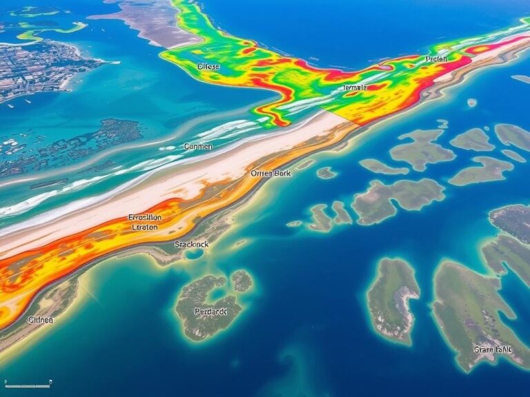
GIS is essential for flood monitoring and forecasting. It uses data from satellites, rainfall sensors, and hydrological models. This way, GIS can show where floods are likely, predict their paths, and send early warnings.
This info is vital for guiding emergency teams, evacuating people, and reducing flood damage.
Earthquake Analysis
When an earthquake hits, GIS natural disasters help responders understand the damage and plan relief. GIS tools quickly map earthquake details like the epicenter and ground shaking. This helps in focused search-and-rescue efforts and resource allocation.
Wildfire Management
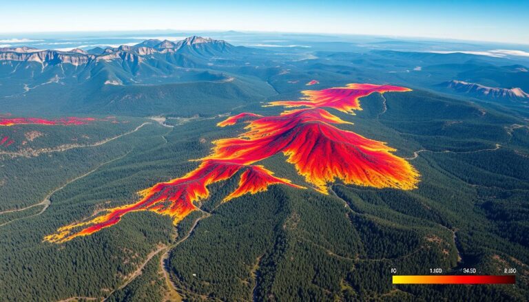
Flood monitoring and earthquake analysis are just part of GIS’s role in disasters. It’s also key in managing wildfires. GIS maps vegetation, terrain, and weather to forecast fire behavior and track fires. It helps in deploying firefighting teams to high-risk spots.
GIS works better with technologies like drones and satellite images. As GIS natural disasters grow, its role in disaster management will become even more important.
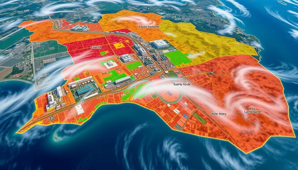
GIS for Humanitarian Response
When disaster hits, quick and effective help is crucial. Geographical Information Systems (GIS) are key in these efforts. They help with finding the best places for shelters and planning logistics.
Shelter Location Analysis
GIS helps find the best spots for temporary shelters after big disasters. It uses data on where people live, how to get there, and the environment. This way, aid groups can decide where to set up camps and give out help.
This analysis makes sure shelters meet the needs of the community. It helps reach more people and work better.
Logistics and Transportation Planning
After a disaster, getting relief supplies to people fast is vital. GIS helps plan the best routes for getting aid to those who need it. It uses data on roads, traffic, and vehicles to make sure supplies get where they need to go quickly.
Using GIS humanitarian response tools has made disaster relief better. GIS helps find the right places for shelters and plans the best routes for aid. It’s a big help in saving lives and easing suffering during emergencies.
Challenges in Implementing GIS for Disaster Management
Geographic Information Systems (GIS) are key for disaster management. Yet, they face challenges like data quality and availability, and the need for technical skills.
Data Quality and Availability
Good data is crucial for GIS systems. But, getting and keeping quality data is hard, especially for disaster management. GIS implementation challenges often come from bad data, which can mess up analysis and decision-making. Also, getting the right data can be tough, especially in places with few resources.
Technical Expertise
GIS needs technical skills to work well. Disaster teams must know how to use GIS data. But, not all teams have the right training or resources.
| Challenge | Impact | Potential Solutions |
|---|---|---|
| Data quality and availability | Inaccurate analyses, ineffective decision-making |
|
| Technical expertise | Inability to effectively utilize GIS technology |
|
Beating these GIS implementation challenges is key for using GIS in disaster management. By fixing data issues and training teams, organizations can use GIS to improve emergency responses and recovery.
Case Studies: Successful GIS Implementations
Geographic Information Systems (GIS) have shown their worth in disaster management through real examples. Two key examples are Hurricane Harvey in Texas and the Nepal earthquake relief. They show how GIS can speed up responses and better use resources during crises.
Hurricane Harvey in Texas
In 2017, Hurricane Harvey hit Texas, and GIS was key in the response. It helped track the storm, find at-risk areas, and send help where it was needed. Emergency teams used GIS maps to find people trapped and coordinate rescues better. GIS case studies like this show how it can save lives and lessen disaster damage.
The Nepal Earthquake Relief
- After the 2015 Nepal earthquake, GIS was crucial for relief and recovery.
- Satellite images and aerial views helped see the damage, find where aid was most needed, and plan repairs.
- GIS maps helped aid groups plan better, making sure supplies got to where they were needed fast.
- The use of GIS case studies in Nepal showed how it can improve aid efforts and help rebuild.
These examples show GIS’s big impact on disaster management. It improves awareness, streamlines resource use, and helps coordinate responses. As seen in Hurricane Harvey and the Nepal earthquake relief, GIS is essential for reducing disaster damage and saving lives.
Future Trends in GIS for Disaster Management
As GIS future trends evolve, new tech like machine learning and better real-time data processing will change disaster management. These new tools promise to make emergency responses better. They will give leaders the info they need to save lives and lessen disaster damage.
Machine Learning Integration
Machine learning in GIS is a big step forward for disaster management. It can quickly sort through lots of data from different places. This includes satellite images, sensors, and social media, to spot trends and predict dangers.
Machine learning makes it easier to figure out risks and plan for disasters. It helps emergency teams get ready for many disaster types. This makes communities stronger and more able to bounce back.
Real-Time Data Processing
New ways to handle real-time data processing are also changing GIS in disaster management. GIS can now quickly collect, analyze, and share important info. This gives emergency teams a clear picture of what’s happening right now.
This helps them make smart choices, use resources well, and work together better. It makes disaster management faster and more effective.
GIS is getting even better with these new technologies. With machine learning and real-time data processing, GIS experts can predict, prepare for, and handle disasters better. This means more lives saved and stronger communities.
Policy and Governance in GIS Use
Geographic Information Systems (GIS) are key in disaster management. Strong policies and partnerships are vital. Rules and structures help GIS work well in different areas.
Regulatory Frameworks
GIS policy is crucial for using GIS in emergencies. Governments need to set clear rules for data use. These rules should cover privacy, security, and how to share data.
Partnerships and Collaboration
GIS implementation in disaster management needs teamwork. This includes government, NGOs, and the private sector. Together, they can make GIS help more in emergencies.
| Stakeholder | Contribution to GIS Partnerships |
|---|---|
| Government Agencies | Provision of authoritative data, policy guidance, and regulatory oversight |
| NGOs | Deployment of GIS for on-the-ground humanitarian aid and community engagement |
| Private Sector | Technological innovation, data collection, and infrastructure support |
Using GIS policy, regulatory frameworks, and collaborative partnerships is key. This way, GIS can help a lot in disaster management. It makes sure data and teams work well together.
Conclusion: The Future of GIS in Disaster Management
Geographic Information Systems (GIS) play a key role in disaster management. They have come a long way from their early days. Today, GIS changes how we handle emergencies, recover, and prevent disasters.
Summary of Key Points
We’ve looked at GIS’s history in emergency response and its many uses. We’ve seen how GIS works with new tools like drones and machine learning. Real-world examples show GIS’s big impact on managing crises.
Call to Action for Stakeholders
Looking ahead, GIS will be even more important for disaster management. Everyone involved needs to support GIS more. By working together, investing in research, and making GIS data easy to use, we can make a big difference. This will help keep our communities safe and save lives.

