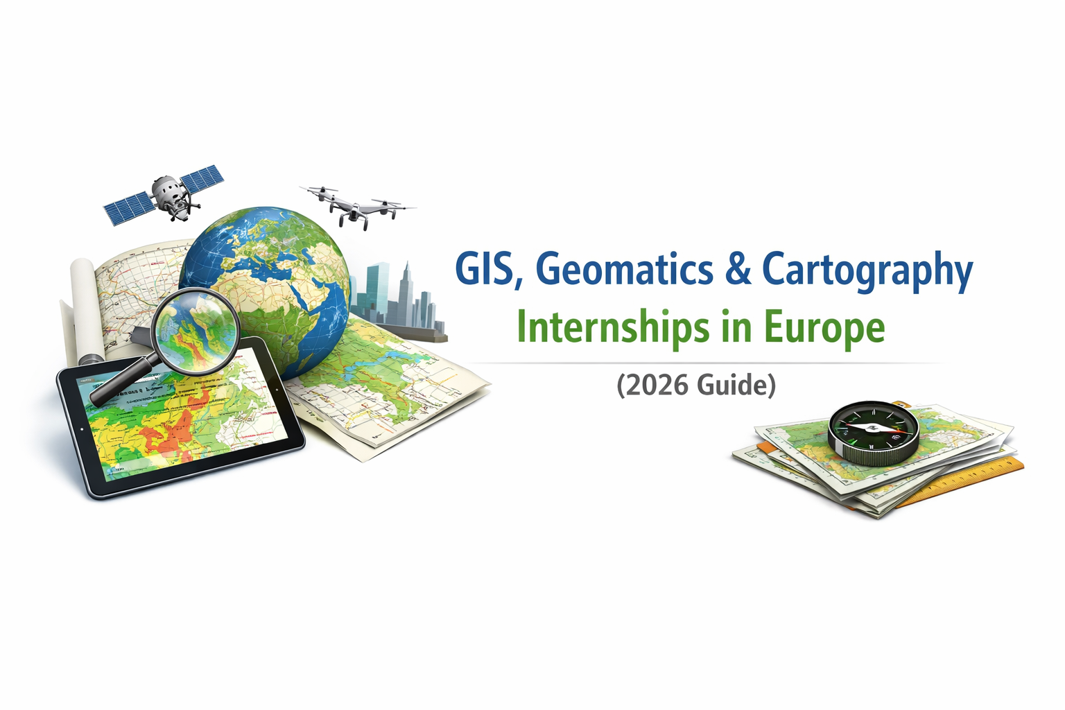
GIS, Geomatics & Cartography Internships in Europe (2026 Edition)
Internships in GIS, Geomatics, and Cartography are essential stepping stones for students and early-career professionals aiming to enter the European geospatial sector. With growing demand in environmental monitoring, smart cities, infrastructure planning, and Earth observation, practical experience is more valuable than ever.
This guide highlights verified internship opportunities across Europe that are currently open or starting within the next six months. These roles span engineering consultancies, environmental organizations, research institutions, and space-related programs.
Why Apply for a GIS Internship in Europe?
Europe hosts major geospatial initiatives such as:
- Copernicus Earth Observation Programme
- European Space Agency (ESA) projects
- Climate adaptation and sustainability programs
- Smart infrastructure and spatial planning systems
Internships provide hands-on exposure to:
- Professional GIS workflows
- Remote sensing analysis
- Spatial database management
- Cartographic production
- Geospatial automation with Python
Skills Employers Look For
To remain competitive in 2026, candidates should demonstrate:
- QGIS or ArcGIS Pro proficiency
- Python for spatial analysis (GeoPandas, GDAL, Rasterio)
- Basic remote sensing knowledge
- Spatial SQL (PostGIS)
- Strong cartographic and analytical skills
Experience with Copernicus data, machine learning, or Web GIS development is a strong advantage.
Application Tips
- Tailor your CV to highlight GIS projects and tools used.
- Include a portfolio (maps, dashboards, GitHub repositories).
- Apply early — many European internships operate on rolling deadlines.
- Demonstrate real project experience, not just coursework.
Final Thoughts
The European geospatial market continues to expand, integrating GIS with AI, environmental modeling, and data science. Securing an internship now can open doors to long-term careers in spatial analytics, remote sensing, and GeoAI.
Stay updated with TechGeo.org for new internship opportunities, GIS insights, and geospatial career guidance.
List of Internship Opportunities Found based on our Research
| Name of Internship | Location (City, Country) | Period / Duration | Verified Link |
| ESA Student Internships (spatial & technical) | ESA Member States (Europe) | 3–6 months | https://www.esa.int/About_Us/Careers_at_ESA/Student_Internships2 (Agence Spatiale Européenne) |
| Environment & Science Summer Internship Programme 2026 – Environment Agency | Various UK locations, UK | Summer 2026 | https://environmentagencycareers.co.uk/jobs/environment-and-science-summer-internship-programme-2026-32751/ (Environment Agency) |
| GIS/Geomatics Internship – SatAgro | (Remote / Europe focus) | Flexible term during 2026 | https://satagro.net/collaboration/ (satagro.net) |
| Stage Géomaticien – Bordeaux, Saint-Étienne, Paris (multiple listings) | France | 2026, ~6 months | https://www.hellowork.com/fr-fr/stage/metier_geomaticien.html (www.hellowork.com) |
| Rolled internship portal – MyGISJobs (filter Europe) | Europe (various) | Depends on posting | https://www.mygisjobs.com/category/gis-internships (mygisjobs.com) |
| UN Traineeships – EU Institutions (policy + data) | EU institutions, Brussels / Luxembourg | ~5 months | https://eu-careers.europa.eu/fr/job-opportunities/traineeships (eu-careers.europa.eu) |
| Stage SIG / Géomatique – Indeed (multiple France postings) | France | 2026 internships | https://fr.indeed.com/q-stage-sig-geomatique-emplois.html (Indeed) |