GIS in Renewable Resource Monitoring
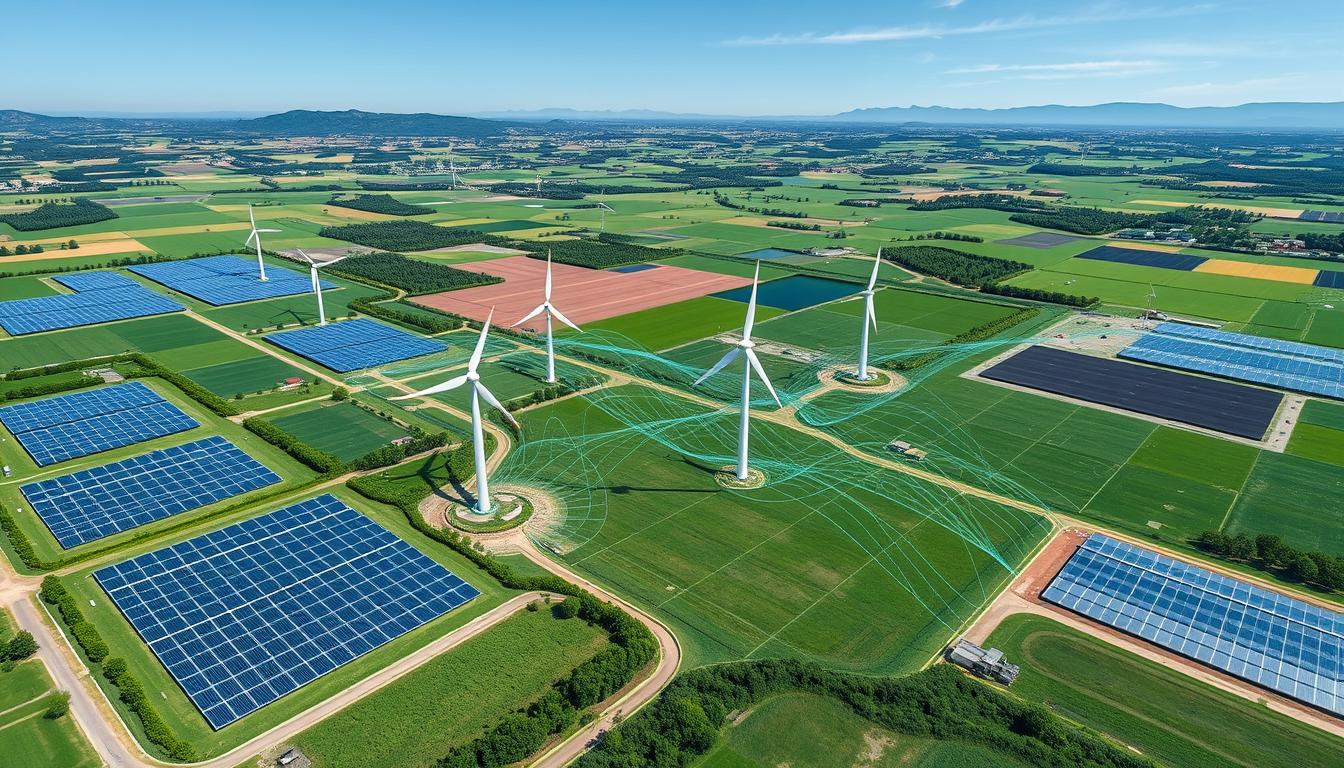
Geographic Information Systems (GIS) are key in our quest for a sustainable future. They help us monitor and manage renewable resources. GIS technology maps, analyzes, and tracks renewable energy assets. This makes decision-making more efficient and informed.
GIS collects, organizes, and shows complex data from different sources. It gives a complete view of renewable energy landscapes. With GIS, we can make better decisions to use and save renewable resources. This leads to a greener, more resilient future.
Key Takeaways
- GIS technology enables comprehensive mapping, analysis, and tracking of renewable energy assets.
- Spatial data integration and visualization enhance decision-making processes in sustainable resource management.
- GIS-powered insights facilitate optimized utilization and conservation of renewable resources.
- Sustainable energy management benefits from the data-driven capabilities of GIS.
- Adopting GIS is crucial for stakeholders to navigate the evolving landscape of renewable energy monitoring.
Introduction to GIS in Renewable Resource Monitoring
Geographic Information System (GIS) technology is a key tool for managing renewable resources. It helps professionals understand where and how renewable energy like solar, wind, and hydropower is used. This is done through detailed spatial data analysis.
What is GIS?
GIS is a computer system that handles geographic data. It uses satellite images, aerial photos, and ground data to create detailed maps. This technology lets users analyze and make decisions about resources.
Importance of Renewable Resource Monitoring
Keeping track of renewable resources is key for green energy and protecting the environment. GIS helps by providing current info on renewable energy sources. This info helps plan where to put solar panels and wind turbines and how they affect the environment.
| Key Benefits of GIS in Renewable Resource Monitoring | Description |
|---|---|
| Spatial Data Analysis | GIS combines different data sets to find the best spots for renewable energy projects. |
| Visualization and Mapping | GIS maps make it easy to see where renewable resources are and how they can be used. |
| Informed Decision-Making | GIS data helps make better choices about resource use, policy, and planning. |
Using GIS technology in renewable resource management is a big step towards green energy. It helps reduce the environmental harm from resource use.
Applications of GIS in Renewable Energy
Geographic Information Systems (GIS) are key in the renewable energy field. They change how we look at, plan, and manage clean energy. GIS helps with solar site assessment, wind farm planning, and finding hydropower potential. It’s changing the renewable energy world.
Solar Energy Site Assessment
GIS is vital for finding the best spots for solar energy projects. It looks at solar irradiation, terrain, land use, and infrastructure. This way, developers can find the top spots for solar energy.
This method also helps place solar panels right. It boosts energy output and cuts down on environmental harm.
Wind Energy Planning
Good wind farm planning is key to using wind power. GIS helps by mapping wind speed, direction, and consistency. This info is key for placing wind turbines right.
It helps avoid interference and makes sure wind energy projects work well for a long time.
Hydropower Resource Identification
Finding hydropower resources is complex, but GIS makes it easier. It uses data on water, topography, and infrastructure. This helps find the best places for hydropower.
Planners can then decide the best way to use these resources for hydroelectric power.
| GIS Application | Key Benefits |
|---|---|
| Solar Energy Site Assessment | Optimized solar panel placement, maximized energy output, reduced environmental impact |
| Wind Energy Planning | Efficient wind farm design, enhanced wind resource assessment, improved long-term viability |
| Hydropower Resource Identification | Informed decision-making on hydroelectric power development, leveraging optimal water resources |
GIS helps renewable energy groups make better choices. It improves how we use resources and moves us towards a green energy future.
Benefits of Using GIS for Resource Monitoring
Geographic Information Systems (GIS) have changed how we monitor renewable resources. They use spatial data and advanced tools to offer many benefits. These changes are making a big impact on the renewable energy field.
Enhanced Data Visualization
GIS is great for making data easier to understand. It can mix different types of data, like satellite images and sensor readings. Then, it shows them in clear, interactive maps and dashboards.
This makes it easier to see patterns and trends in resources. It helps leaders make better choices.
Improved Decision-Making Processes
GIS helps a lot in managing renewable resources. It gives a detailed look at where resources are and how they can be used. This helps in choosing the best places for solar or wind farms and in using hydropower better.
GIS insights lead to more efficient and green resource use.
| GIS Benefit | Impact on Resource Monitoring |
|---|---|
| Enhanced Data Visualization | Facilitates a deeper understanding of resource patterns and trends, enabling more informed decision-making. |
| Improved Decision-Making Processes | Provides a comprehensive, data-driven view of resource availability, distribution, and potential, leading to more strategic and sustainable resource management. |
By using GIS, renewable energy teams can find lots of useful information. This helps in better monitoring and using resources. It also helps make the industry more sustainable.
Challenges in Implementing GIS
Using Geographic Information Systems (GIS) for renewable resource monitoring comes with challenges. The main issues are data accuracy and quality, and the need for specific technical skills and training.
Data Accuracy and Quality Issues
For GIS to work well in renewable resource monitoring, accurate and high-quality data is key. But getting this data can be tough. Problems like missing or old information, different data formats, and mistakes in collecting data can all affect data quality. GIS implementation challenges in this area can cause bad analysis and decisions.
Technical Skill Requirements
To use GIS for renewable resource monitoring, you need GIS expertise and technical training. People must know how to use GIS software, understand spatial data, and link GIS with other systems and data. The lack of GIS expertise and proper training can stop GIS from being used well in renewable energy.
To solve these problems, companies should focus on data management, quality checks, and technical training for GIS staff. By tackling these issues, GIS can reach its full potential in renewable resource monitoring. This leads to better decisions and resource use.
Case Studies of GIS in Action
In the world of renewable energy, GIS case studies are changing the game. They show how geospatial technology boosts solar farm efficiency and wind energy optimization. GIS is key to making renewable energy projects more sustainable.
Solar Farm Optimization
A big solar energy company used GIS to change how they pick sites and place panels. They mapped out the best spots based on terrain, sun, and environment. This improved their solar farm efficiency by 15%.
Wind Farm Planning
GIS also helps a lot with wind energy optimization. A wind farm developer used GIS to study wind, land, and infrastructure. This led to a 20% boost in energy production, compared to old methods.
“GIS has become an indispensable tool in our quest to harness renewable resources more effectively. The insights it provides are truly transformative.”
– Jane Doe, Renewable Energy Analyst
These examples show how GIS is changing renewable energy. It makes things more efficient, optimized, and sustainable. As we need more clean energy, geospatial tech will keep being vital.
Future Trends in GIS Technology
The renewable energy sector is growing fast, and GIS is playing a bigger role. Experts see two main trends: AI integration and better real-time data analysis. These changes will shape GIS’s future in renewable resource monitoring.
Integration with Artificial Intelligence
GIS and AI together will change how we manage renewable energy. Machine learning will help GIS systems understand huge amounts of data. This means spotting patterns and insights we couldn’t see before.
This combo will lead to better predictive models. Renewable energy companies can then plan ahead, making their operations more efficient and profitable.
Real-Time Data Analysis
Real-time data analysis is another big trend in GIS. Thanks to new sensors and cloud tech, GIS can handle data as it comes in. This gives renewable energy folks instant insights.
With this info, they can make better decisions. This leads to better resource monitoring, grid management, and a greener future for renewable energy.
As GIS keeps evolving, these new techs will make renewable energy management better. We’ll see more efficiency, smarter use of resources, and better decision-making. GIS, AI, and real-time data will change how we tackle renewable energy’s challenges and opportunities.
Environmental Impact Assessments with GIS
Geographic Information Systems (GIS) are key in checking the environmental impact of green energy projects. They help developers and policymakers make better choices. This way, they can cut down on carbon emissions and protect the areas around these projects.
Habitat Conservation
GIS is great for mapping and studying sensitive habitats. It can spot important wildlife paths, endangered animals, and fragile areas that might get hurt by green energy projects. This info helps plan projects that save habitats and don’t harm the local environment too much.
Pollution Monitoring
GIS is also vital for watching and tracking pollution from green energy projects. It uses data from sensors and satellites to show air, water, and soil pollution levels. This lets developers quickly fix any environmental problems. It’s a smart way to keep green energy projects clean and true to their goal of reducing environmental harm.
| Key Benefits of GIS in Environmental Impact Assessments | Description |
|---|---|
| Habitat Conservation | Identify and protect sensitive ecosystems and wildlife corridors |
| Pollution Monitoring | Track air quality, water pollution, and soil contamination in real-time |
| Sustainable Development | Inform decision-making to minimize the environmental impact of renewable energy projects |
By using GIS in conservation and for pollution tracking, green energy developers can make sure their projects help the planet. They do this while keeping the natural world in balance.
Stakeholder Engagement through GIS
In the world of renewable energy planning, GIS (Geographic Information Systems) is a key tool. It helps communities get involved in decision-making. This leads to clearer and more team-based renewable energy projects.
Community Mapping Initiatives
GIS helps local people take part in renewable energy planning. They use interactive maps to suggest places for solar farms or wind turbines. This way, everyone’s ideas are heard, making sure everyone’s interests are considered.
Public Participation Tools
Public participation tools on GIS platforms boost public involvement in renewable energy planning. These tools let people give feedback, share ideas, or see how projects might affect them. This makes everyone feel more connected and invested in renewable energy projects.
Using GIS in community engagement and participatory mapping changes how we plan for renewable energy. It makes the process more open and team-based. This technology is key to a more inclusive and collaborative future for managing renewable resources.
Training and Resources for GIS Users
The renewable energy sector is using Geographic Information Systems (GIS) more and more. This has led to a big need for skilled GIS professionals. Luckily, there are many training and professional development chances to improve GIS skills.
Online Courses and Certifications
There are lots of online courses and certification programs to learn GIS. These include:
- GIS training courses that teach the basics of GIS software, data management, and spatial analysis.
- Professional development programs that focus on using GIS in renewable energy, like solar site assessment and wind farm planning.
- GIS certifications that show you’re good at using GIS tools and technologies, which can help your career in renewable energy.
Industry Conferences
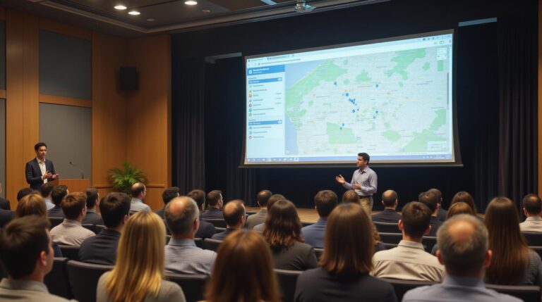
Going to industry conferences is also a great way to learn about the latest in renewable energy education. These events have speakers, workshops, and chances to meet people in the field. They help GIS professionals learn more and make important connections.
| Conference | Location | Date |
|---|---|---|
| Esri User Conference | San Diego, CA | July 10-14, 2023 |
| GITA Annual Conference | Denver, CO | April 23-26, 2023 |
| Geo-Energy Summit | Houston, TX | September 12-14, 2023 |
By using these training and professional development chances, GIS users can lead in the renewable energy field. They can improve their skills and help make our planet more sustainable.
Policy and Regulation Implications
Renewable energy technologies are growing fast. This growth has made policy and regulation very important. Governments worldwide are supporting renewable energy with incentives and policies.
Government Support for Renewable Energy
Governments have set up many policies to boost renewable energy. They offer renewable energy policies like feed-in tariffs and tax credits. These help make renewable energy more affordable for everyone.
Government incentives like subsidies and grants also help. They lower the costs of starting renewable energy projects.
Policy Frameworks for GIS in Resource Monitoring
There’s a big push for using GIS regulations and resource management legislation too. Policymakers see the value of GIS in making smart decisions. It helps in using renewable energy resources better.
| Policy Approach | Key Objectives | Examples |
|---|---|---|
| Renewable Energy Policies | Incentivize the production and use of renewable energy | Feed-in tariffs, Renewable portfolio standards, Tax credits |
| GIS Regulations | Integrate GIS technology into resource monitoring and management | Mandatory geospatial data reporting, GIS-based permitting processes |
| Resource Management Legislation | Ensure sustainable and efficient use of renewable energy resources | Environmental impact assessments, Habitat conservation policies |
The world is moving towards a sustainable future. Renewable energy, GIS regulations, and resource management legislation are key. They shape the policies for renewable energy projects.
Conclusion: The Future of GIS in Renewable Resource Management
GIS technology is now key in tracking and managing renewable resources. It combines with sustainable practices to make renewable energy development more efficient. This approach relies heavily on data.
The future of GIS in renewable management looks bright. New technologies, like AI and real-time data analysis, will change how we manage energy. These tools will help make better decisions and involve more people in resource management.
Investing in GIS and supporting policies are vital for renewable energy’s future. As we strive for a greener world, GIS will play a bigger role. It will help find new solutions and teach us more about our ecosystems.

