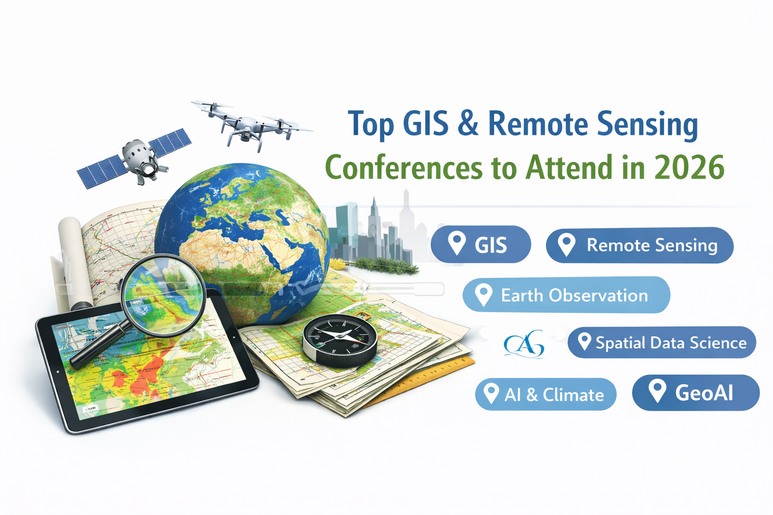
Top Upcoming GIS and Remote Sensing Conferences to Attend in 2026
The year 2026 is shaping up to be a significant one for the global geospatial community. As Geographic Information Systems (GIS), Remote Sensing, Geomatics, and Spatial Data Science continue to evolve, conferences remain essential platforms for knowledge exchange, collaboration, and innovation.
Based on international conference listings and geospatial event calendars, several major events in 2026 will bring together researchers, engineers, policy-makers, and industry leaders to discuss emerging technologies and applications in the spatial sciences.
The Role of Conferences in Geospatial Advancement
Scientific conferences play a central role in advancing geospatial research and practice. They provide opportunities to:
- Present peer-reviewed research
- Engage with leading experts in Earth observation and GIS
- Discover emerging tools and methodologies
- Explore funding and collaboration opportunities
- Stay informed about policy and technological trends
In a field that increasingly integrates artificial intelligence, environmental modeling, and cloud computing, continuous engagement with the scientific community is critical.
Major GIS and Remote Sensing Conferences in 2026
Several key events scheduled for 2026 will focus on GIS, Earth observation, and spatial data applications.
| Conference / Event | Location (City, Country) | Date / Duration (2026) | Link (Verified) |
| EO Summit 2026 – Earth Observation Summit | Exeter, UK | 22 Jun 2026 | https://terrawatchspace.com/eo-conferences/ (list) (terrawatchspace.com) |
| International Conf. on GIS & Remote Sensing for Marine Studies (ICGRSMS) | Rome, Italy | 25 May 2026 | https://conferencealerts.co.in/rome/gis (conferencealerts.co.in) |
| International Conf. on GIS for Biodiversity & Conservation (ICGBC) | Rome, Italy | 24 Jun 2026 | https://conferencealerts.co.in/rome/gis (conferencealerts.co.in) |
| International Conf. on GIS in Hydrology & Water Resources (ICGHWR) | Rome, Italy | 01 Jul 2026 | https://conferencealerts.co.in/rome/gis (conferencealerts.co.in) |
| International Conf. on Spatial Computing & Cloud GIS (ICSCCG) | Rome, Italy | 01 Aug 2026 | https://conferencealerts.co.in/rome/gis (conferencealerts.co.in) |
| International Electronic Conference on Remote Sensing (ECRS2026) | Online (Global) | 19–21 Oct 2026 | https://sciforum.net/event/ECRS2026 (sciforum.net) |
| 45th EARSeL Symposium | Athens, Greece | 29 Sep–02 Oct 2026 | https://www.isprs.org/calendar/2026.aspx (isprs.org) |
| International Conf. of Environmental Remote Sensing & GIS (ICERS) | Zagreb, Croatia | Jul 2026 (approx) | https://conferenceindex.org/conferences/remote-sensing (Conference Index) |
| EGU General Assembly 2026 | Vienna, Austria | 03–08 May 2026 | https://www.eurogeosciences.org/egu2026/ (GitHub) |
| EUROGEO Conference & Annual Meeting 2026 | Tilburg, Netherlands | 21–23 May 2026 | https://www.eurogeography.eu/ (GitHub) |
| International Conf. on Big Data & GIS (example) | Glasgow, UK | ~Feb 2026 (estimate from list) | https://conferencealerts.co.in/gis (conferencealerts.co.in) |
| International Conf. on Urban Growth Monitoring with GIS | Naples, Italy | ~Feb 2026 (multiple dates listed) | https://conferencealerts.co.in/gis (conferencealerts.co.in) |
| International Conf. on Cartography & Geovisualization Tech (ICCGT) | Poznan, Poland | ~Feb 2026 (listed) | https://conferencealerts.co.in/gis (conferencealerts.co.in) |
| International Conf. on Spatial Data Science & Analytics (ICSDSA) | Porto, Portugal | ~Feb 2026 (listed) | https://conferencealerts.co.in/gis (conferencealerts.co.in) |
| International Conf. on GIS & Sustainable Agriculture Practices | Helsinki, Finland | ~Feb 2026 (listed) | https://conferencealerts.co.in/gis (conferencealerts.co.in) |
| GeoInno 2026 – Geospatial Innovation Conference | Budapest, Hungary | 26–30 Jan 2026 | https://www.geoinno2026.com/ (GitHub) |
| Geospatial Development Room @ FOSDEM | Brussels, Belgium | 31 Jan 2026 | https://fosdem.org/2026/schedule/track/geospatial/ (GitHub) |
| International Conf. on Environmental Impact Assessment Using Remote Sensing | Granada, Spain | ~Feb 2026 (from remote list) | https://allconferencealert.net/remote-sensing.php (allconferencealert.net) |
| International Conf. on Infrastructure Dev. & RS Engineering | Berlin, Germany | ~Mar 2026 (from remote list) | https://allconferencealert.net/remote-sensing.php (allconferencealert.net) |
| International Conf. on Remote Sensing & Struc. Health Monitoring | Bristol, UK | ~Mar 2026 (from remote list) | https://allconferencealert.net/remote-sensing.php (allconferencealert.net) |
EGU General Assembly 2026 – Vienna, Austria
One of Europe’s largest geoscience conferences, covering remote sensing, environmental GIS, climate modeling, and spatial data analytics.
EARSeL Symposium 2026 – Athens, Greece
A major European event dedicated specifically to Earth Observation and remote sensing applications in environmental monitoring and urban studies.
International Electronic Conference on Remote Sensing (ECRS 2026)
An online conference allowing global participation, particularly valuable for researchers working in satellite image processing and spatial modeling.
GeoInnovation and Open Geospatial Events
Events such as GeoInno 2026 and open geospatial technology meetings (e.g., FOSDEM Geospatial Track) will emphasize open-source GIS, web mapping technologies, and spatial programming.
Thematic GIS Conferences Across Europe
Several specialized conferences in cities such as Rome, Glasgow, Porto, Helsinki, and Poznan will focus on topics including:
- GIS for biodiversity and conservation
- Hydrology and water resource modeling
- Spatial computing and cloud GIS
- Urban growth monitoring
- Cartography and geovisualization
These events highlight the increasing diversification of GIS applications across scientific and engineering domains.
Emerging Themes in 2026
The dominant research themes expected in 2026 include:
- AI and machine learning for spatial prediction
- Climate risk assessment using remote sensing
- Urban digital twins and smart cities
- Big geospatial data analytics
- Cloud-native GIS platforms
- Integration of Copernicus and Sentinel datasets
- Real-time geospatial dashboards
The integration of spatial data science and artificial intelligence is becoming a defining feature of modern GIS research.
Who Should Consider Attending?
These conferences are particularly relevant for:
- PhD and Master’s students in GIS, Remote Sensing, or Geomatics
- Environmental scientists and climate researchers
- Urban planners and infrastructure analysts
- Spatial data engineers
- Professionals working in spatial data infrastructures (SDI)
- GeoAI and data science researchers
Participation enhances academic visibility and strengthens professional networks.
Preparing for Conference Participation
To maximize the value of attending a geospatial conference:
- Monitor abstract submission deadlines carefully.
- Prepare clear methodological explanations and reproducible workflows.
- Develop high-quality cartographic visualizations.
- Engage actively in technical sessions and networking events.
For researchers, conferences often serve as stepping stones toward journal publications and collaborative projects.
Conclusion
The 2026 conference calendar reflects the growing maturity and interdisciplinarity of GIS and Remote Sensing. As spatial technologies continue to influence climate research, urban development, and environmental management, participation in these events becomes increasingly important.
Staying connected to the global geospatial community ensures continuous learning, innovation, and professional growth.
TechGeo.org will continue to monitor and share relevant geospatial events, research updates, and professional opportunities throughout 2026.