Explore Guilford County GIS Data
The Guilford County GIS website makes it easy to search for properties. It’s great for real estate pros, lawyers, or researchers1. You can find parcel maps, zoning info, and tax records to help with property work1.
Using Guilford County GIS data can make projects better and help with big decisions. NC State University Libraries have lots of info, like orthophotos and vector data for Guilford County2. They have saved vector data from Guilford County for years from 2002 to 20132.
Key Takeaways
- Guilford County GIS data is a valuable resource for various applications, including gis mapping and gis data analysis.
- The Guilford County GIS website provides a user-friendly interface for efficient property searches.
- NC State University Libraries offer a wealth of information, including orthophotos and vector data for Guilford County.
- Guilford County GIS data can enhance projects and decision-making processes.
- The library data services at NC State University have archived vector data from Guilford County for various years between 2002 and 20132.
Understanding Guilford County GIS and Its Importance
The geographic information system (GIS) is a powerful tool. It’s used for spatial analysis and managing land records. It helps with land use planning, emergency response, and resource allocation3.
The Guilford County GIS Department uses GIS for planning and support. They help various county departments with data creation and maintenance. This is seen in the Guilford County GIS case study3.
GIS offers many benefits, including helping with spatial analysis for better decisions. People can use GIS data for property research. Businesses can use it for market analysis and site selection3.
Using GIS technology makes data easier to extract and present. This makes data more accessible and user-friendly3.
These applications are key for effective county management. They provide valuable insights for both residents and businesses3.
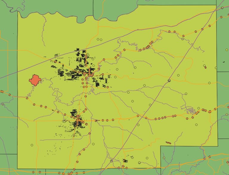
Download Guilford County GIS DATA (Src: OSM 2024)
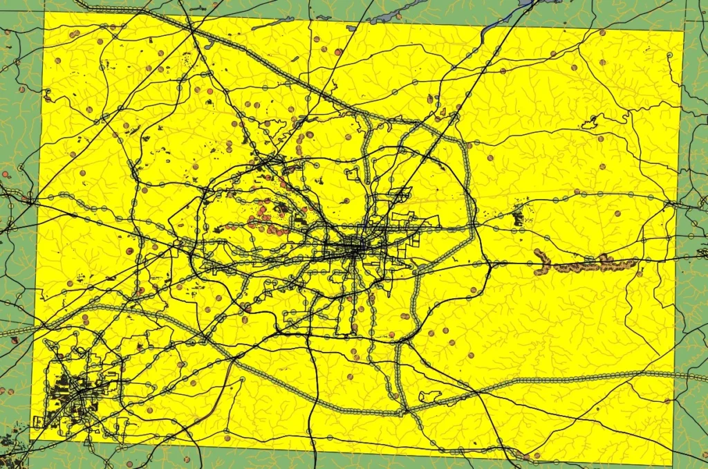
- Highway DATA polylines
- Roads DATA
- waterways data
- Building and Rooftop Data
- Guilford County Borders
Accessing and Navigating the Guilford County GIS Portal
To get into the Guilford County GIS portal, just head over to the Guilford County’s GIS Links. There, you’ll find all the county’s GIS resources. The portal has lots of data, like property mapping and tax parcel mapping. You can search for data or look through the datasets2.
The GIS portal has many services, including vector and raster data. It also lists GIS courses and resources for NC State University users2. For some data, you need a UNITY ID if you’re with NC State. The portal gets new data often, like orthophotos from 1995, 1999, and 20032.
Some cool things about the Guilford County GIS portal include:
- Access to data from 2002 to 20142
- Data from the NC Base Data Project for 2013 and 20142
- Orthophotos for Guilford County from 1995, 1999, and 2003 in different formats2
Using the Guilford County GIS portal, you can learn a lot about property mapping and tax parcel mapping. It’s a great tool for anyone in Guilford County2.
Property and Tax Parcel Mapping Resources
Guilford County has many tools for property and tax parcel mapping. These tools help real estate experts, researchers, and the public. The county’s GIS portal lets users see property lines, tax data, and past property records. It’s key for property research and investment choices.
The NC State University Libraries Vector Data Archive has lots of property data. It helps with property development and investment decisions. Using these tools, people can understand property values, who owns it, and how it’s used. This helps them make better choices.
Understanding Property Boundaries
Property mapping is vital for knowing property lines and who owns what. It shows property lines, who owns it, and other important details. This info helps solve boundary issues, figure out property values, and guide property development.
Some key benefits of property mapping include:
- Accurate property boundary identification
- Informing decisions on property development and investment
- Resolving boundary disputes
Accessing Tax Assessment Data
Tax parcel mapping is also crucial. It gives access to tax data, property values, and who owns it. This info helps with property investment, development, and taxes.
Tax parcel mapping shows tax details of property ownership. It includes tax rates, exemptions, and deductions. Using these tools, people can make smarter choices about property investment and development.
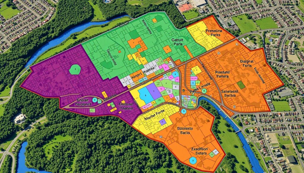
By using property and tax parcel mapping tools, people can understand property values, ownership, and land use. This helps them make better decisions about property investment and development.
Transportation and Infrastructure Data Layers
GIS plays a key role in urban development by managing roads and highways data. It helps planners use the NC DOT Highway map to analyze road networks. This improves traffic flow, enhancing the transportation experience. In Guilford County, this is crucial for emergency services and urban planning4.
GIS also helps in providing public transit information. This lets commuters plan their routes better. Transportation officials can then focus on improving services in high-demand areas. Tools for infrastructure planning help predict the impact of new developments on transportation systems5.
Road Network Analysis
Understanding road networks is vital for transportation planning. It helps identify congestion areas and find ways to reduce them. By analyzing data, planners can optimize traffic signals and road designs, making travel smoother.
Infrastructure Planning Tools
Effective transportation systems need good infrastructure planning tools. These tools help predict how new developments will affect transportation. With GIS data, officials can ensure the community’s needs are met, including public transit and traffic management.
| Transportation Data | Description |
|---|---|
| Roads GIS Data | Provides information on road networks and traffic flow |
| Highways GIS Data | Provides information on highway systems and traffic patterns |
| Public Transit Information | Provides information on public transportation services and schedules |
Environmental and Water Resource Mapping
Guilford County uses Geographic Information System (GIS) technology to keep an eye on its waterways and environmental resources. The water resource management team uses GIS data to track water quality and find areas that need improvement. This helps the county make smart choices about protecting the environment and managing water resources.
GIS in environmental mapping offers many benefits. It lets the county analyze and visualize big datasets, spot patterns, and predict environmental risks. By using GIS, Guilford County can safeguard its natural resources and ensure a green future for its people. Studies show that GIS helps reduce the risk of disasters like floods.
Some key uses of GIS in environmental and water resource mapping are:
- Water quality monitoring
- Watershed management
- Floodplain mapping
- Wildlife habitat conservation
By using GIS data and environmental mapping, Guilford County supports sustainable growth, protects its natural resources, and keeps its environment healthy. For more details on the county’s efforts, visit the North Carolina Water Resources website.
| Application | Description |
|---|---|
| Water Quality Monitoring | Tracking water quality parameters such as pH, temperature, and nutrient levels |
| Watershed Management | Identifying and mitigating potential sources of water pollution |
| Floodplain Mapping | Mapping areas prone to flooding to inform land-use decisions |
Building and Development GIS Applications
Geographic Information System (GIS) technology is key in building and development. It helps make informed decisions and makes the development process smoother. By using local government resources, developers can find out about zoning and building permits. This ensures they follow the rules.
GIS helps a lot in urban planning and development. It makes managing zoning and building permits better. For example, developers can:
- Access zoning maps and regulations
- Get building permits and approvals
- Study development patterns and trends
Zoning Information
Zoning info is vital in development, and GIS is a great tool for it. It lets developers see zoning areas and check if their projects fit local rules.
Building Permits and Regulations
Building permits and rules are key for safety and the environment. GIS helps developers get and analyze permit data. This makes getting permits easier and lowers the chance of not following rules.
Development Planning Tools
GIS-based tools are great for planning and managing projects. They let developers use building GIS data, zoning info, and more. This makes planning and managing projects better and more informed.

Advanced Spatial Analysis Features
Guilford County GIS has advanced tools for custom map creation and data analysis. These tools help make informed decisions6. Users can look at how different data layers, like property lines and zoning, relate to each other6.
For example, users can use spatial analysis to find out where people are dense but far from public transport. This helps with city planning7. Also, the spatial analysis methods help see how the environment affects health8.
Guilford County GIS has many features, including:
- Advanced queries for filtering data8
- Access to data layers like property lines and roads6
- Tools for creating custom maps and data analysis6
These advanced tools help users understand complex data relationships. This supports better decision-making6.
| Feature | Description |
|---|---|
| Custom Map Creation | Allows users to create custom maps tailored to their specific needs6 |
| Data Analysis Tools | Provides users with a range of tools to analyze and interpret data6 |
Mobile Access and Real-Time Updates
Technology has made it easier to access GIS data on the go9. This change has improved how we use geographic information. For example, the 2-1-1 Counts tool lets users see community needs in real-time on their phones9.
Mobile GIS apps have made collecting data in the field easier. They allow for quick mapping and instant access to GIS data9. The City of Greensboro’s Open Data Program also lets people check public safety and local laws on their phones9.
Mobile GIS brings many benefits, including:
- Real-time updates on geographic information
- Enhanced mobility and accessibility
- Improved decision-making capabilities
- Increased efficiency in field data collection
Mobile GIS has changed how we use geographic information. It makes accessing and using GIS data more efficient and effective9.
Conclusion: Maximizing the Value of Guilford County GIS Resources
Guilford County’s10 GIS data is a powerful tool for everyone. It helps residents, businesses, and local authorities make smart choices. By using this data, leaders can improve transportation, invest in better infrastructure, and support green growth10.
Businesses can use the spatial analysis tools in the Guilford County GIS portal. This helps them make strategic plans, find new opportunities, and work more efficiently11.
Residents also gain a lot from these GIS resources. They can find property info, learn about transportation, and get environmental insights. This helps them understand their community better and make informed decisions10.
The best way to get the most out of these GIS resources is to stay engaged and keep exploring. Everyone is encouraged to visit the Guilford County GIS portal often. There, they can find new uses for the data and tackle big challenges1011.
FAQ
What is Geographic Information System (GIS)?
How does GIS benefit Guilford County residents and businesses?
How can I access the Guilford County GIS portal?
What resources are available for property and tax parcel mapping in Guilford County?
How is GIS used in transportation and infrastructure planning in Guilford County?
What are the environmental and water resource mapping applications of GIS in Guilford County?
How is GIS utilized in building and development planning in Guilford County?
What advanced spatial analysis features are available through Guilford County GIS?
How can I access mobile and real-time updates of Guilford County GIS data?
Table of Contents
Find out Catawba County GIS data from here

