Horry County, SC GIS: Coastal Mapping Tools
## Horry County, SC GIS: Coastal Mapping Tools
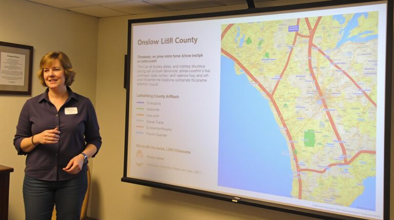
Horry County, home to beautiful beaches, bustling cities, and a vibrant maritime scene, is rich with geographic information. But understanding the dynamic landscape that shapes this landscape requires the right tools. Horry County, along with its partners, offers invaluable resources, making geospatial data accessible and providing valuable insights to residents, businesses, and researchers alike.
Horry County GIS: The Foundation for Informed Decision-Making
Horry County offers an expansive library of Geographic Information Systems (GIS) data, assembled to serve a wide range of needs. These digital resources show the entire collection of county attributes and help us visualize everything from beach erosion and coastal resilience to infrastructure, and historical development. These tools can enhance decision-making in crucial areas like:
Staying ahead of natural threats and urban growth requires data, and Horry County provides it!
Tools & Platforms for Exploring Coastal Mapping
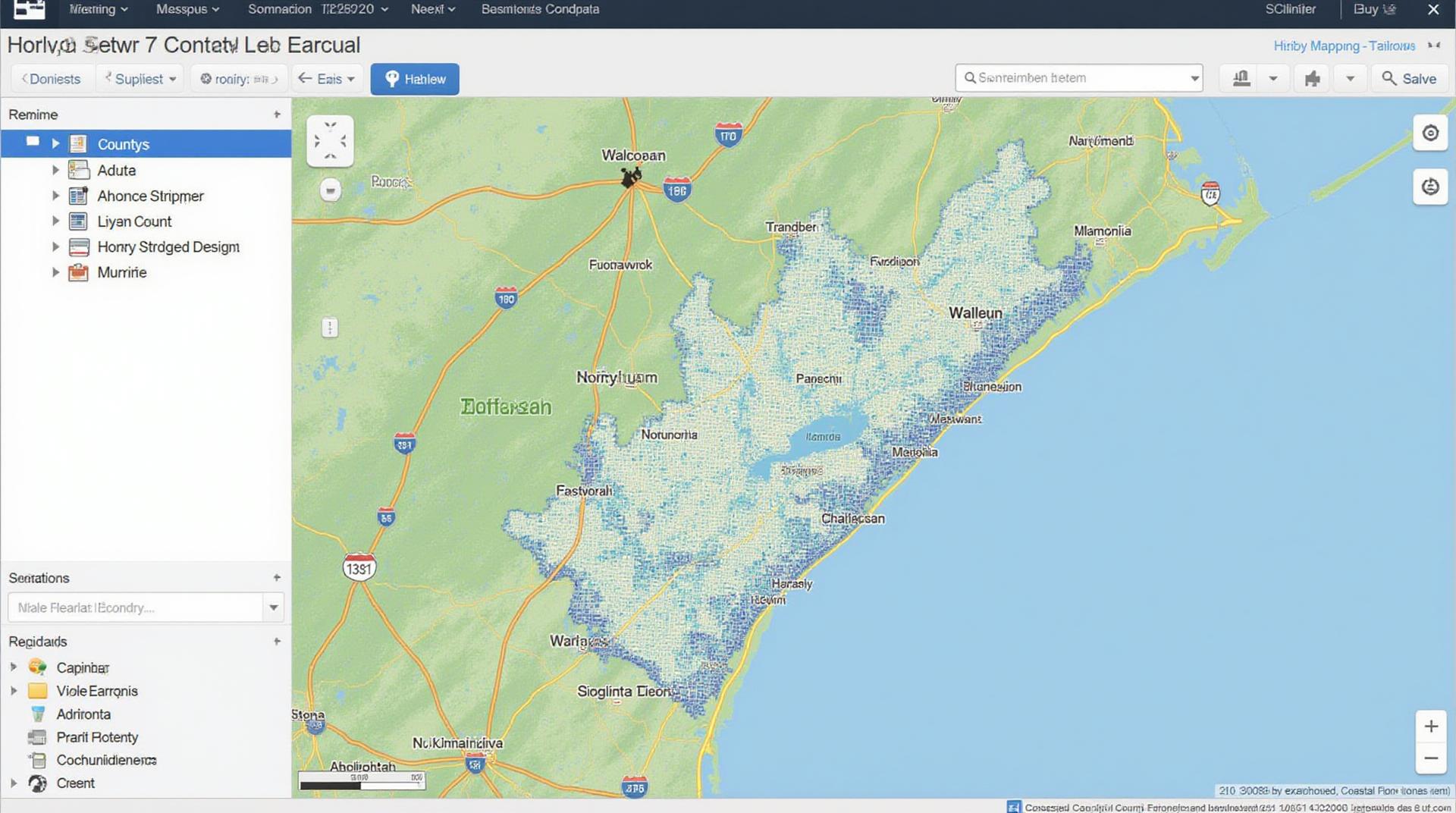
Accessing and analyzing data in Horry County is straightforward. The county’s official website, www.horrycounty.org, is a treasure trove of GIS information
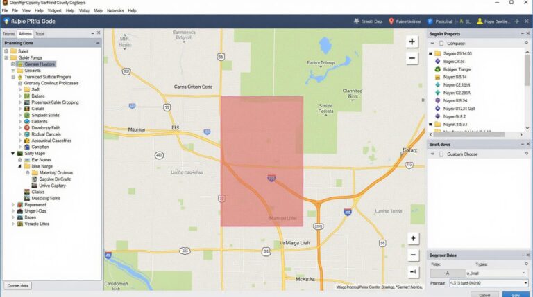
- Horry County GIS Website: The primary resource. Explore online maps, download data, and access downloadable tools. The data can be filtered by location, feature type, and other criteria.
- South Carolina Department of Health and Environmental Control (SCDHEC): Connect with environmental datasets including air quality, water tables, and coastal vulnerability reports.
- U.S Geological Survey (USGS) Website: Discover detailed information on the region’s geology: elevation, soils, groundwater, and surface water surfaces.
VisibleLayers: Your Eyes into Horry County’s Landscape
Visual layers offer breathtaking views of Horry County’s extensive coastline and inland features and allow closer examination of specific areas:
- Coastal Erosion Layers: Visualize the dynamic shorelines and impact of coastal erosion events, as well as data concerning seawalls protecting against environmental hazards.
- Water Resources Data: Dive into layers displaying streams, rivers, lakes, wetlands, and the intricate web of waterways connecting Horry county
- Infrastructure Dataset: Find utility lines, roads, traffic arteries, and potential hazards lurking around railway tracks and power facilities.
Understanding the Data: Practical Uses for Everyone in Horry County
So why does Horry County prioritize GIS mapping and why should you study it? Those concerns drive several practical applications that impact residents, businesses and researchers:
- **Transportation**: Efficient public transportation planning and traffic flow analysis can be achieved by utilizing road networks and real-time traffic data.
- **Coastal Development**: Preserve and protect natural assets in line with coastal storm surges and ocean tides with better planning of tourism and residents.
- **Environmental Conservation**: Integrate conservation projects with GIS databases, offering targeted initiatives such as reforestation projects or marine habitat revitalization.
- **Business Insights:** Invest location A location analytics, and evaluate market demands near beaches and their proximity to the highway.
The Importance of Collaboration: Growing together on GIS with Horry County
Access to GIS data empowers any resident, individual, small business, or academic institution involved in the development. Collaboration with Horry County and local partners are continually maximizing online data subscriber maps.
Conclusion: Explore, Understand, and Shape the Future of Horry County*
Horry County GIS with its coastal features and valuable data sets offer unparalleled insight to any entity involved in analyzing and advancing the region. Engaging with this wealth of information enables residents, businesses, and researchers to make informed decisions, anticipate risks, and act proactively. By leveraging these resources, Horry County continues to thrive as a dynamic coastal region of South Carolina.
Frequently Asked Questions
What is GIS Data, and What Does Horry County’s GIS Offer?
GIS data is geographic information that uses mapping and data analysis tools to understand patterns, trends, and relationships. Horry County’s GIS (Geographic Information System) offers comprehensive geospatial data for the entire county. You can access maps, imagery, data layers, and analysis tools to help with anything from planning to public safety to property management.
How Can I Access GIS Data For Horry County?
We offer a variety of mapping services and data layers available for download through our website. You can find more information on their uses and content below:
What Formats Does Your GIS Data Come in?
We offer various data formats, including:
Can I Use Your GIS Data Online or Offline?
Our resources are designed for your web-based use, but consider downloading relevant data where direct public access is desired. This provides flexibility for the optimal solution to meet your specific needs.
How Does GIS Help Horry County?
Horry County’s GIS plays a vital role in many key areas:
* **Public Safety:** Emergency response, crime pattern analysis, fire hazard mapping.
* **Planning and Development:** Infrastructure planning, zoning mapping, land use analysis, capital budgeting.
* **Environmental Management:** Water quality assessments, open space preservation, coastal erosion monitoring.
* **Property and Tax Assessment:** Property GIS ensures accurate tax assessment.
* **Citizen Engagement:** Interactive online maps for easy access to information.
Benefits of GIS Data for Horry County
GIS data empowers Horry County to make informed decisions and deliver targeted services. With GIS, we can:
- Improve Infrastructure Planning
- Develop Smart Evacuation Plans
- Enhance Public Safety
- Increased Transparency and Efficient Communication
- Respond to Natural Disasters with Greater Precision
**Conclusion**
Horry County’s GIS data is an invaluable resource for enhancing public safety, guiding efficient planning, managing resources, and promoting a better quality of life for its residents. By leveraging its data, Horry County demonstrates its commitment to better understand and address specific needs within the county.