Hydrological Modeling and GIS Applications
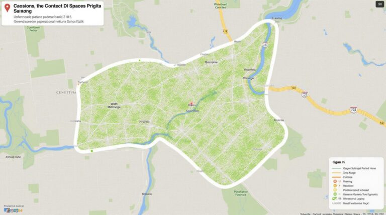
In today’s world, combining hydrological modeling and Geographic Information Systems (GIS) is key for managing water. Hydrological modeling helps predict water movement and quality. GIS, on the other hand, is great for analyzing and showing data on maps.
This mix of technologies has changed how we handle water. It lets leaders make better choices with a clear view of water issues. Together, they help tackle problems like floods, droughts, and keeping water clean.
Key Takeaways
- Hydrological modeling and GIS are powerful tools for understanding and managing water resources.
- The integration of these disciplines enables more informed decision-making in water resource management.
- Hydrological models provide a framework for simulating and predicting water-related processes.
- GIS enhances spatial analysis and data visualization capabilities for water resource management.
- The combination of hydrological modeling and GIS is crucial for addressing complex water-related challenges.
Introduction to Hydrological Modeling
Hydrological modeling is a science that simulates water flow in watersheds or river basins. It’s key for managing water resources. It helps predict and prevent floods and droughts, and also improves water use.
Definition of Hydrological Modeling
It uses math and computer models to study water interactions. These models look at water flow, rain, soil, plants, and groundwater. They help understand how water moves in a certain area.
Importance in Water Resource Management
Hydrological modeling is very important for water management. It helps predict floods and manage droughts. It also guides in planning water supplies and managing water resources sustainably.
| Key Applications of Hydrological Modeling | Benefits |
|---|---|
| Flood Risk Assessment | Enables accurate prediction and early warning of flood events, allowing for effective disaster preparedness and mitigation strategies. |
| Drought Management | Helps identify and monitor drought conditions, facilitating the development of targeted drought management plans and water conservation measures. |
| Water Supply Planning | Supports the efficient allocation and distribution of water resources, ensuring adequate supply for domestic, agricultural, and industrial needs. |
By using hydrological modeling with GIS and other tech, managers get a full picture of water flow, flood prediction, and watershed analysis. This leads to better water management.
Understanding Geographic Information Systems (GIS)
Geographic Information Systems (GIS) are powerful tools that change how we analyze and understand the world. They combine hardware, software, and data to give us a deep view of our surroundings. GIS helps us solve big hydrological problems by analyzing data, integrating information, and creating detailed maps.
Key Components of GIS
The main parts of GIS are data collection, management, analysis, and visualization. These parts work together to help us understand and model water processes.
- Data Collection: GIS uses many sources like satellite images and ground sensors to get detailed data.
- Data Management: GIS keeps data organized in efficient databases, making it easy to find and use.
- Spatial Analysis: GIS has tools for deep analysis of water data, showing patterns and trends.
- Data Visualization: GIS turns complex data into clear maps and charts, helping us share findings and make decisions.
How GIS Supports Hydrological Modeling
GIS and hydrological modeling work together to better understand and manage water. GIS helps in several ways:
- Spatial Analysis: GIS analyzes spatial data, giving insights for improving models.
- Data Integration: GIS combines different data sources into one platform for modeling.
- Mapping and Visualization: GIS makes complex data easy to understand with maps and visualizations.
GIS makes hydrological modeling more accurate and accessible. It helps water experts make better decisions and tackle tough challenges.
Historical Context of Hydrological Modeling
The field of hydrological modeling has grown a lot over time. It has changed with new ways to manage water and technology. From simple math to complex computer models, it’s come a long way.
Evolution of Modeling Techniques
At first, hydrological modeling used basic math and manual work. Then, electronic computers and numerical models came along. These changes made it possible to do more detailed work.
As computers got better, so did hydrological modeling. The use of GIS and remote sensing changed how we understand water. Now, we have advanced models like data-driven and machine learning ones. They give us deep insights into managing water resources.
Early Applications and Case Studies
- In the 1960s, the Stanford Watershed Model was used in the U.S. to study rainfall and runoff.
- In the 1970s, the U.S. Army Corps of Engineers created HEC-RAS. It changed how we manage flood risks.
- The 1980s brought GIS-based models like SWAT. They used spatial data for better water management.
These early uses and studies helped make hydrological modeling popular. It’s now used for flood control, drought management, and checking water quality.
| Year | Modeling Technique | Application |
|---|---|---|
| 1960s | Stanford Watershed Model | Rainfall-runoff simulation |
| 1970s | HEC-RAS | Flood risk assessment |
| 1980s | SWAT | Water resource management |
The growth of hydrological modeling and its early uses have led to today’s water management. These tools are key in solving big problems and making smart choices.
Types of Hydrological Models
Hydrological modeling is key for understanding water flow and other water-related processes. In water resource management, many models have been created for different needs. Let’s look at the main types: conceptual, physical, and data-driven models.
Conceptual Models
Conceptual models simplify the hydrological cycle and its processes. They use math and parameters to describe water flow and other phenomena. These models help with long-term planning and decision-making, showing the water balance and management impacts.
Physical Models
Physical models, or process-based models, focus on the detailed hydrological cycle processes. They use physics, like mass and energy laws, to simulate these processes. These models are great for studying how changes affect water flow and hydrological processes.
Data-driven Models
Data-driven models use historical data and machine learning to find patterns in the hydrological system. They rely on data like rainfall and streamflow to make predictions. These models are good for short-term forecasts and quick decision-making, adapting fast to changes.
Each model has its own strengths and weaknesses. The right model depends on the goals, data, and analysis detail needed. Mixing these models can give a deeper understanding of the hydrological system.
Role of GIS in Hydrological Modeling
Geographic Information Systems (GIS) play a key role in hydrological modeling. They offer tools for analyzing space, integrating data, and visualizing it. These tools have made hydrological models more accurate and useful. They help us understand complex water systems better.
Spatial Analysis and Mapping
GIS is great at spatial analysis. It helps hydrologists make detailed maps of watersheds, rivers, and water features. By combining data like topography, land use, and precipitation, GIS helps build detailed hydrological models. These models show the complex relationships in water systems.
Data Integration and Visualization
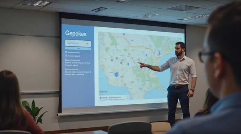
Hydrological modeling needs data from many sources, like field measurements and remote sensing. GIS makes it easy to bring all this data together. It lets hydrologists create visualizations that show complex hydrological processes clearly.
GIS maps, graphs, and dashboards make it easier to share data. This helps decision-makers understand water resource management better. It leads to better decisions about water.
“GIS has transformed hydrological modeling, empowering us to make more informed and data-driven decisions about water resources.”
GIS helps hydrologists create more accurate models. This leads to better water management strategies. It helps us find sustainable solutions for water resources.
Applications of Hydrological Modeling
Hydrological modeling is a key tool for managing water resources. It helps in assessing flood risks, managing droughts, and checking water quality.
Flood Risk Assessment
Hydrological models are vital for predicting floods. They simulate how rain and runoff work in watersheds. This lets us plan ahead to reduce flood damage.
Urban planners, emergency teams, and policymakers use this info. They create better strategies to handle floods.
Drought Management Strategies
With more water scarcity, hydrological modeling is crucial. It predicts droughts by looking at rain, evaporation, and groundwater. This helps in saving water and planning for the future.
Water Quality Assessment
- Hydrological models track how different things affect water quality. This includes pollution, sediment, and nutrients.
- By linking these models with water monitoring, managers can find pollution sources. They can also check if cleanup efforts work. This helps protect our water.
Hydrological modeling is vital for managing water. It helps with flood prediction, drought management, and water quality. As technology improves, so will hydrological modeling. This will help us use water more sustainably in the future.

Data Collection Techniques for Hydrological Modeling
Getting accurate data is key for good hydrological modeling. Experts use many ways to collect this data. From new remote sensing tech to old field surveys, these methods help us understand water cycles.
Remote Sensing Technologies
Remote sensing has changed hydrology a lot. It gives us data that was hard to get before. Satellites, drones, and planes can show us where water is, how much rain falls, and more. These remote sensing tools are cheap, fast, and cover big areas.
Field Surveys
- Ground measurements are still very important for data collection in hydrology.
- Field surveys, like measuring streams and taking soil samples, give us specific data. This data helps us understand what remote sensing shows.
- These field methods check if the data from remote sensing is right. This makes sure our models are accurate.
Historical Data Sources
Hydrologists also use old data to learn about long-term water patterns. Historical data sources like old rain records and land maps help us understand today’s water conditions. This helps us make better hydrological models.
By using many data collection methods, like remote sensing, field surveys, and old data, hydrologists can make detailed and correct hydrological models. These models help us manage water resources better.
Case Studies in Hydrological Modeling
Hydrological modeling is a key tool for solving water management problems worldwide. This section looks at three case studies. They show how this method works in different environments.
Urban Watershed Management in Los Angeles
Los Angeles faces big challenges in managing its water, especially with droughts. Hydrological modeling helps city planners and water managers. They use it to understand how water moves and how to use it better.
They use data and models to learn about runoff, water soaking into the ground, and how to use stormwater. This knowledge helps them make better plans for water use.
Agricultural Water Usage in the Midwest
In the Midwest, farming is a big part of the economy. Hydrological modeling helps farmers use water wisely. It helps them choose the right crops and manage soil.
By understanding how soil, crops, and water work together, farmers can save water. They can also grow more food without using more water.
Wetland Restoration in Florida
Florida’s wetlands are threatened by development and farming. Hydrological modeling helps restore these areas. It lets scientists see how changes affect the wetlands.
By trying out different plans, like changing water flow and planting new plants, they find the best ways to help wetlands. This helps keep these important areas healthy.
These examples show how hydrological modeling helps solve many water problems. It’s used in cities, farms, and nature. As technology gets better, so will its uses.
Challenges in Hydrological Modeling
Hydrological modeling is key for managing water resources. Yet, it faces many challenges. These include data quality, model accuracy, and climate change impacts. These issues can affect how well models work.
Data Availability and Quality
Data is vital for strong hydrological models. But, in many places, data on water and weather is hard to find or not reliable. This makes it tough to test and improve models, leading to less certain results.
Model Calibration and Validation
Calibrating and validating models is crucial. It means adjusting them to match real data and then checking them with new data. But, hydrological systems are complex, and data is often limited. This makes it hard to get accurate results.
Climate Change Impacts
Climate change is a big challenge for hydrological modeling. As the climate changes, models need to adapt. This requires understanding how climate and water interact.
| Challenge | Description | Potential Strategies |
|---|---|---|
| Data Availability and Quality | Insufficient or inconsistent data on key hydrological parameters |
|
| Model Calibration and Validation | Difficulty in accurately representing complex hydrological processes |
|
| Climate Change Impacts | Changing patterns of precipitation, temperature, and other climatic variables |
|
By tackling these challenges, hydrological modeling can improve. It will help with water management, flood risk, and climate change. This is crucial for our future.
Advances in Technology for Hydrological Modeling
Machine learning and Geographic Information Systems (GIS) are changing hydrological modeling. These new technologies are making water resource management better. They improve the accuracy and speed of hydrological models.
Integrating Machine Learning with GIS
Machine learning and GIS together open new doors in hydrological modeling. Machine learning helps find complex patterns in big data. This makes hydrological models more accurate, helping us understand water better and make better decisions.
Real-time Data Processing Capabilities
Real-time data processing has changed hydrological modeling. It lets models react to changes quickly. This leads to better early warnings, flood risk assessments, and water management, helping us face water challenges better.
“The integration of machine learning and GIS is unlocking new frontiers in hydrological modeling, enabling us to better understand and manage our precious water resources.”
Future Trends in Hydrological Modeling and GIS
The world of hydrological modeling and GIS is on the brink of a big change. As we move forward, two main trends will shape our future. These are the use of big data and the growth of enhanced predictive capabilities.
Harnessing the Power of Big Data
Now, we have lots of data, from satellite images to real-time sensors. This change is transforming how hydrologists and water managers work. With big data, they can understand complex water systems better. This leads to smarter decisions and better water resource management.
Advancing Predictive Modeling
Big data isn’t the only thing changing. Predictive modeling is also getting a boost. New algorithms and machine learning are making hydrological models more accurate. These models can now predict water events like floods and droughts better.
This improvement is key for fighting climate change and managing water sustainably. By adopting these trends, hydrological modeling and GIS will change how we protect our water. This will help us build a more resilient and sustainable future.
Conclusion and Recommendations
Hydrological modeling and Geographic Information Systems (GIS) are key in water management. They help solve big problems like floods and droughts. They also improve water quality.
Best Practices for Effective Hydrological Modeling
To make hydrological modeling work, follow best practices. Use high-quality data and test models well. Work together with experts in hydrology and GIS.
Keep models up to date, especially with climate change. This ensures accurate results.
The Future of GIS Applications in Hydrology
The future of GIS in hydrology looks bright. New tech like machine learning will boost its power. Big data and faster computers will help make predictions better and faster.
By using these new tools, water experts can manage water better. This will help us use water wisely and protect our environment. It will ensure a good water future for all.

