Integrating GIS and Machine Learning for Predictions
In today’s world, combining Geographic Information Systems (GIS) and Machine Learning (ML) is key. This mix uses GIS’s data management and ML’s pattern recognition. It helps organizations make better decisions by unlocking new insights.
Spatial data is central to GIS. It includes everything from demographics to environmental trends. By using GIS and ML together, we can find hidden connections and make accurate predictions.
This combination helps solve big problems in many fields. It’s used in urban planning, resource management, disaster response, and public health. It leads to smarter decisions and better outcomes.
Key Takeaways
- The integration of GIS and Machine Learning unlocks powerful predictive capabilities for spatial analysis.
- GIS provides the spatial data management and visualization tools, while Machine Learning offers advanced pattern recognition and forecasting abilities.
- This integration enables data-driven decision-making, scenario modeling, and optimization of spatial processes across various industries.
- Combining GIS and Machine Learning can lead to more accurate predictions, informed strategic planning, and effective resource allocation.
- The future of this integration promises further advancements in real-time spatial analysis, AI-powered predictions, and increased accessibility of these powerful tools.
Introduction to GIS and Machine Learning
Geographic Information Systems (GIS) and Machine Learning (ML) are changing how we analyze and predict things. Together, they offer a powerful way to understand our world and make better choices.
Defining GIS
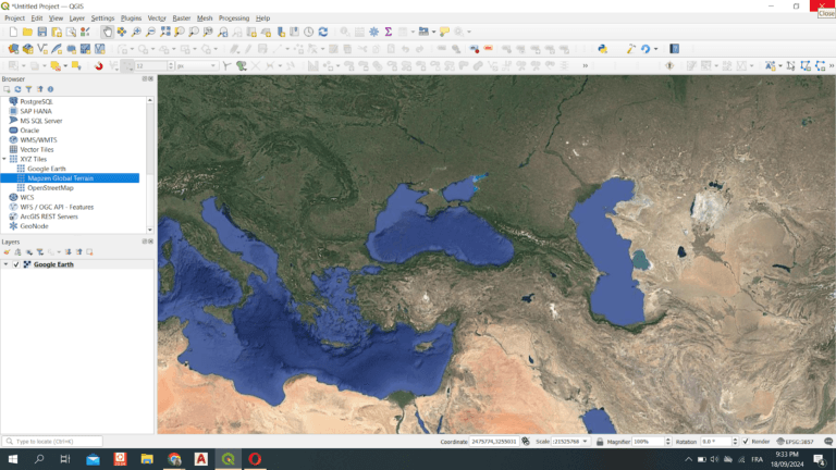
GIS is a system that handles and analyzes spatial data. It helps us see and understand the patterns in geographic information. This way, we can learn a lot from the data.
Defining Machine Learning
Machine Learning is a part of Artificial Intelligence (AI). It lets computers learn and get better over time. ML looks at big data, finds patterns, and makes predictions or decisions.
Importance of Integration
Combining GIS and Machine Learning is key. GIS gives us the data and tools to work with, while ML helps us find patterns and make predictions. This mix helps us solve problems in urban planning, environmental monitoring, and disaster management.
“The fusion of GIS and Machine Learning is transforming the way we analyze and comprehend the world around us, opening up new possibilities for data-driven decision-making.”
As we rely more on data, GIS and Machine Learning will change how we analyze and predict things. This will lead to smarter and more effective decisions.
The Role of GIS in Spatial Analysis
Spatial analysis is key in Geographic Information Systems (GIS). It helps us understand and study geospatial data. GIS offers a complete system for managing and analyzing this data, making it very useful for many tasks.
Understanding Spatial Data
At the core of spatial analysis is spatial data. This is information linked to a specific place. It can be in many forms, like coordinates or addresses. These are vital for mapping and understanding how things relate to each other.
Types of Spatial Data in GIS
- Vector data: Shows specific features like points, lines, and shapes.
- Raster data: Holds continuous data, such as images from space or elevation models.
Applications of GIS in Various Fields
GIS is used in many areas, from planning cities to managing the environment. It helps by combining data and tools for better decision-making. This way, it tackles big challenges and improves how we use resources.
| Field | GIS Application |
|---|---|
| Urban Planning | Finds the best places for new buildings, studies city growth, and manages infrastructure. |
| Environmental Management | Tracks environmental changes, looks at natural resources, and helps with conservation. |
| Transportation | Plans routes, analyzes traffic, and manages roads and highways. |
GIS is very flexible in Spatial Analysis, GIS Applications, and Geospatial Data. It’s a must-have for anyone wanting to use location-based information for better decisions.
“GIS is not just a technology, but a way of thinking about and understanding the world.”
Machine Learning Fundamentals
The world is getting more data-driven every day. This has led to the use of Geographical Information Systems (GIS) and Machine Learning Algorithms for better spatial analysis and predictive modeling. We will explore the basics of Machine Learning and its core algorithms.
Overview of Machine Learning Concepts
Machine Learning is a part of Artificial Intelligence (AI). It deals with creating algorithms and models for computers to do tasks on their own. These algorithms learn from data, making predictions and finding hidden patterns.
Types of Machine Learning Algorithms
- Supervised Learning: Algorithms that learn from labeled data to make predictions or classify new instances.
- Unsupervised Learning: Algorithms that discover hidden patterns and structures within unlabeled data.
- Reinforcement Learning: Algorithms that learn by interacting with an environment and receiving feedback in the form of rewards or penalties.
Key Terminology in Machine Learning
To understand GIS and Machine Learning together, we need to know some key terms:
- Training Data: The dataset used to train a Machine Learning model.
- Feature Engineering: The process of selecting and transforming relevant data features to improve a model’s performance.
- Overfitting: When a model learns the training data too well, resulting in poor performance on new, unseen data.
- Bias-Variance Tradeoff: The balance between a model’s ability to fit the training data (low bias) and its ability to generalize to new data (low variance).
Knowing these basics helps us use Machine Learning Algorithms, AI, and Predictive Modeling with GIS. This leads to more accurate spatial analysis and better decision-making.
Benefits of Combining GIS and Machine Learning
Using Geographic Information Systems (GIS) and Machine Learning (ML) together is very powerful. It helps a lot with data analysis and making decisions. This mix lets organizations make better choices based on data.
Enhanced Predictive Capabilities
GIS and ML together make Predictive Analytics even better. They use geospatial data and ML’s learning to make accurate predictions. This helps in planning and monitoring in many fields, like city planning and the environment.
Improved Decision-Making Processes
GIS and ML help make Data-Driven Decisions better. They use spatial data to guide strategic choices. This leads to better use of resources and more efficient operations in many areas.
Cost-Effectiveness and Efficiency
GIS and ML also save money and time. They automate Predictive Analytics and decision-making. This makes work faster, cheaper, and more effective, helping to tackle big challenges.
In summary, GIS and Machine Learning together offer many benefits. They improve predictions, decision-making, and efficiency. This powerful mix helps organizations make better decisions and achieve their goals.
Data Collection Techniques for GIS and Machine Learning
In the fast-changing world of geospatial data analysis, the quality of data is key. It unlocks the full potential of Geographic Information Systems (GIS) and Machine Learning (ML). This includes remote sensing, detailed surveys, and using open data. These methods help us do deep spatial analysis and predictive modeling.
Remote Sensing Data
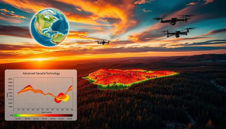
Remote sensing, like satellite images and LiDAR, has changed how we collect geospatial data. It gives us detailed info about the Earth’s surface. This helps us study land use and environmental changes. With remote sensing, GIS and ML can uncover insights we couldn’t see before.
Survey Data Collection
Traditional surveys are also key for data collection in GIS and ML. Ground surveys and field measurements add depth to our data. They work well with remote sensing data. This mix gives GIS and ML models a wide range of data, making their predictions stronger and more accurate.
Open Data Sources
The geospatial community values open data sources. Sites like OpenStreetMap and government data are full of geospatial data for free. By using these resources, experts can improve their analysis. They can also find new ways to solve big problems.
“The combination of GIS and Machine Learning unlocks unprecedented opportunities for data-driven decision-making, revolutionizing how we understand and respond to the complexities of our world.”
Data Preprocessing for Machine Learning in GIS
Getting data ready for Machine Learning (ML) in Geographic Information Systems (GIS) is key. This step makes sure the data is clean and ready for analysis. Let’s look at what’s important for ML in GIS.
Importance of Data Cleaning
Cleaning the data before ML is a must. It means fixing missing values, dealing with odd data points, and removing errors. Clean data leads to better ML models and smarter decisions.
Feature Selection and Engineering
Picking the right features is vital for ML success in GIS. Feature Engineering creates new features from existing data. This boosts the model’s ability to predict. It turns spatial data into something ML algorithms can understand better.
Normalization and Transformation Techniques
ML algorithms work best with data on the same scale. Methods like min-max scaling and standardization help. These steps make sure the data is in the right format for ML.
“Proper data preprocessing is the foundation for successful machine learning applications in GIS. It’s the key to unlocking the full potential of integrating these powerful technologies.”
Machine Learning Algorithms in GIS Applications
In the world of geographic information systems (GIS), machine learning has opened a new door. It helps us analyze and predict with more accuracy. This is great for decision-makers in many fields.
Regression Techniques
Spatial regression models are key in GIS. They help predict things like property values and population density. These Spatial Regression methods use data’s spatial connections for better predictions.
Classification Methods
Classification Algorithms are vital for sorting out spatial data. They help us spot land use patterns and risk areas. By using GIS and machine learning together, we make smarter choices and grasp spatial dynamics better.
Clustering Approaches
Finding hidden patterns in data is crucial for planning and analysis. Clustering Analysis in GIS helps spot similar trends. This knowledge guides us in making better decisions and allocating resources.
| Machine Learning Approach | GIS Application | Example Use Case |
|---|---|---|
| Spatial Regression | Predicting Continuous Variables | Forecasting property values, population growth, or environmental factors |
| Classification Algorithms | Categorizing Spatial Data | Identifying land use patterns, delineating risk zones, or classifying terrain types |
| Clustering Analysis | Discovering Spatial Patterns | Identifying demographic trends, crime hotspots, or natural resource distributions |
As GIS grows, using machine learning is more important than ever. These advanced methods open up new ways to analyze and predict. They change how we see and work with our surroundings.
Case Studies of GIS and Machine Learning Integration
The mix of Geographic Information Systems (GIS) and Machine Learning (ML) has opened new doors in many areas. Let’s see how this combo has changed urban planning, environmental monitoring, and disaster management.
Urban Planning and Development
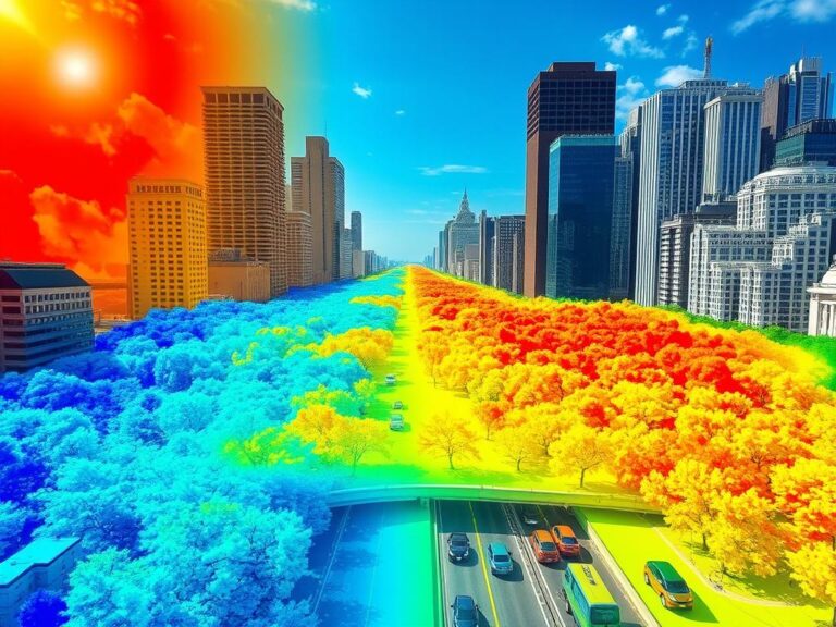
In urban planning, GIS and ML help make cities better. They look at data to spot trends and plan better. ML can guess how people will move and improve bus routes, making cities more efficient.
Environmental Monitoring
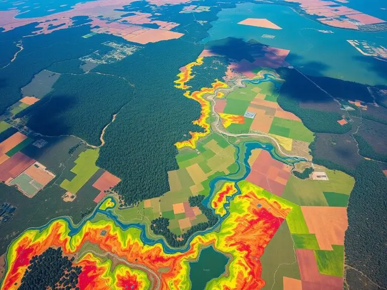
GIS and ML have changed environmental tracking. They use satellite images and sensors to watch over our planet. This helps us make better choices to protect our environment.
Disaster Management and Response
For disasters, GIS and ML are key. They help map out danger zones and predict disaster paths. This lets us plan ahead and respond quickly, saving lives and reducing damage.
GIS and Machine Learning have changed how we plan cities, watch the environment, and handle disasters. They help us make better choices and build a stronger future.
Challenges in Implementing GIS and Machine Learning
Using Geographic Information Systems (GIS) and Machine Learning (ML) together can give us amazing insights. But, it also comes with its own set of challenges. The main areas to focus on are data quality and availability, computational resource requirements, and interdisciplinary collaboration issues.
Data Quality and Availability
Having reliable data quality is key for GIS and ML to work well together. Spatial data can sometimes be missing, wrong, or biased. This can make the models and predictions not very reliable. So, getting high-quality, comprehensive datasets is a big first step.
Computational Resource Requirements
Handling big, complex spatial datasets for GIS and ML needs a lot of computer power. This includes strong hardware, advanced software, and lots of storage. Getting the right computational resources can be hard, especially for those with small budgets or not much tech know-how.
Interdisciplinary Collaboration Issues
Working well together between GIS experts and data scientists is vital for GIS and ML to succeed. But, it’s not always easy. They come from different backgrounds and have their own ways of doing things. So, it’s important to improve communication and cross-training between them.
By tackling these main challenges, we can really make the most of GIS and ML together. This leads to better decision-making, more efficiency, and deeper insights into complex spatial issues.
Future Trends in GIS and Machine Learning
The world is changing fast, and GIS and Machine Learning are leading the way. AI Advancements and Big Data are making big changes in this field.
Advances in AI and Big Data
AI algorithms are getting better, and we have more data than ever. This means GIS can do more for us. We can learn more, make better choices, and solve big problems in many areas.
Real-Time Spatial Analysis
GIS and ML together mean we can analyze things in real-time. This lets us react fast to changes. It’s changing how we see and manage our world.
Increasing Accessibility of GIS Tools
It’s getting easier to use GIS and ML. Cloud services and simple interfaces are making it more accessible. Now, more people can use these tools, from city planners to scientists.
The future of GIS and Machine Learning is exciting. It’s going to change how we understand and interact with our world. As these technologies grow, we’ll see new ways to solve problems and make decisions.

Conclusion
As we wrap up our look at combining Geographic Information Systems (GIS) and Machine Learning, we see a huge potential. This mix can change how we make predictions and decisions. It opens up new ways to analyze data, making predictions better, work more efficiently, and save money in many fields.
Summary of Key Points
In this article, we covered the basics of GIS and Machine Learning. We saw how they work well together. We talked about how GIS helps with spatial analysis and the basics of Machine Learning. We also discussed the benefits of combining them, like better predictions and smarter decisions.
The Future of GIS and Machine Learning Integration
Looking ahead, the future of GIS and Machine Learning is bright. Advances in Artificial Intelligence and Big Data will lead to better algorithms and models. This will make real-time spatial analysis easier and more accessible. The blend of GIS and Machine Learning will keep changing many fields, from city planning to disaster response. It will bring new solutions and change how we tackle spatial problems.


