Integrating Machine Learning with GIS – Automated Analysis
Integrating Machine Learning with GIS: Automated Analysis for Smarter Geospatial Insights
The world of geospatial analytics is transforming, fueled by the marriage of powerful geospatial tools with artificial intelligence. Imagine a world where complex spatial data effortlessly reveals valuable insights and trends. This is the promise of GeoAI (Geospatial Artificial Intelligence), where machine learning algorithms power automated analysis for smarter, faster decision-making.
What is GeoAI?
GeoAI, also known as geospatial AI, refers to the use of machine learning and artificial intelligence techniques to analyse and understand geospatial data. By harnessing algorithms that can learn patterns and make predictions even in complex, high-dimensional data sets, GeoAI provides unprecedented insights and predictions.
Key Features of GeoAI
- Automation: This is the bedrock of GeoAI. It leverages pre-trained models and algorithms, thereby eliminating manual data processing and analysis.
- Enhanced Data Insights: Combining GIS data with AI powers unlocks unprecedented understanding of spatial phenomena. This translates into information leaps, allowing for more concrete understanding and actionable insights.
- Predictive Modeling: GeoAI utilizes historical data crunching and predictive algorithms to forecast future trends, identifying potential issues and opportunities.
- Continuous Learning and Adaptation: Machine learning algorithms are constantly being fine-tuned, constantly learning and adapting based on new data, resulting in improved accuracy over time.
Benefits of Integrating GeoAI with GIS
Automating analysis with GeoAI offers significant advantages for both management and decision-making:
- Improved Decision Making: GeoAI-powered insights eliminate ambiguity, leading to evidence-based decisions that accurately identify trends, risks, and opportunities.
- Increased Efficiency: Automation eliminates manual data processing, human errors, and laborious analysis, saving valuable time.
- Cost Reduction: By automating tasks, GeoAI reduces the need for specialized human resources, thus lowering operational costs.
- Enhanced Explainability: GeoAI’s logic is transparent, providing clear insights into the reasoning behind the analyzed results.
Practical Applications of GeoAI
GeoAI’s value extends across diverse fields, providing insightful solutions for a multitude of problems:
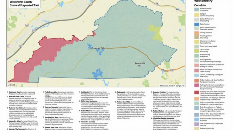
- Urban Planning and Management: Traffic flow optimization, neighborhood density analysis, and pollution control using predictive models.
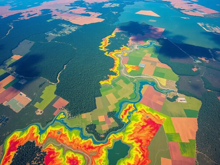
- Environmental Monitoring and Conservation: Analyzing deforestation patterns, predicting wildfire outbreaks, and tracking endangered species through remote sensing data.
- Disaster Management: Assessing flood risk, optimizing evacuation routes, and analyzing structural damage after disasters.
- Telecommunications: Predicting cell phone coverage, optimizing network deployments, and upgrading infrastructure.
- Agriculture: Monitoring crop health and yield, advising farmers on irrigation needs, and improving precision agriculture.
Resources for Further Exploration
For those wanting to dive deeper into the world of GeoAI, here are some recommended resources:
- Free Resources: Kaggle Geoospatial Datasets
- Attending Conferences:**
Esri Spatial Analyst Conference‘- Online Courses:
Udemy Courses on GeoData
Coursera Courses on GeoAI - Online Courses:
Conclusion
GeoAI is not simply a technological trend but a landmark shift in how we understand and interact with our world. The future of geospatial analytics lies in embracing the automation potential offered by this exciting field. By integrating machine learning with GIS, we unlock unprecedented insights, paving the way for smarter, more efficient, and impactful decision-making across diverse industries.
Stay tuned for more articles on GeoAI as it continues to reshape the future of geospatial insights.
## Integrate Machine Learning with GIS Pattern Detection: Frequently Asked Questions
This FAQ section provides answers to common questions regarding integrating machine learning with GIS for pattern detection.
### **What is Machine Learning Pattern Detection (MLPD) in GIS?**
Machine learning pattern detection in GIS uses algorithms trained on existing geographic data to identify patterns, trends, and anomalies. This allows analysts to extract valuable insights from spatial datasets about things like:
* **Land cover change:** Identifying deforestation, urban development, or the spread of invasive species.
* **Illegal activity:** Detecting controversial events or criminal activity based on spatial and temporal patterns.
* **Emergency Response:** Deploying resources efficiently by predicting disaster-stricken areas or tracking urban heat island effects.
### **What formats can I use for my machine learning model?**
GIS patterns can be detected using various machine learning techniques with a wide range of input formats:
- Raster maps: Primarily spatial datasets with pixel values or colors, often used to visualize terrain elevation, temperature, and other parameters.
- Vectors:collection of points, lines, or polygons representing geographical entities for areas, roads, or individual objects.
### **What kind of data do I need to prepare for machine learning?**
Before training your model, prepare your geographic location data to ensure optimal performance:
- Data preparation: Clean and transform data for accuracy, ensuring data consistency.
- Feature selection: Choose the most relevant variables that characterise the patterns you wish to detect.
- Data representation: Choose the appropriate spatial object representation like gridded vectors or raster elements.
### **Is there a specific software platform for MLPD in GIS?**
Many tools and libraries support MLPD in GIS:
- QGIS: A free and open-source GIS software that allows for data integration, processing, and visualization. This provides a versatile platform for ML implementation.
- Esri ArcGIS Pro: A comprehensive GIS solution with a focus on geoprocessing, data management, and spatial analysis.
- ArcGIS Pro: This software comes with access to ML algorithms that increase productivity and simplify automated process management.
- Jupyter Notebook**_: A code environment for multiple languages which allows custom machine learning code development and execution.
### **Where can I find pre-trained models for spatial data analysis?**
You can find a range of pre-trained models through online repositories:
- **Google AI:** https://github.com/google/earth-api-google-maps-ml/
- **.Colab:** https://colab.research.google.com/ notebook_import.html
### **Conclusion: Importance and Impact**
Integrating machine learning with GIS pattern detection can revolutionize various fields, such as:
* **Improved Disaster Responses:** MLPD allows swift identification of where natural disasters might impact.
* **Enhanced Urban Planning:** MLPD helps model population densities, energy consumption patterns, and transportation systems for more effective intervention planning.
* **Environmental Monitoring & Biodiversity Analysis:** MLPD allows specific predicting environmental changes.
**Actionable Insights**
Implementing MLPD can provide valuable insights for tackling complex issues like:
* **Climate change:** Tracking deforestation and identifying potential risks.
* **Public health:** Monitoring disease outbreaks or disease transmission patterns
* **Sustainable development:** Predicting population growth and resource depletion.
Integrating MLPD can help make your workflows more efficient, effective, and insightful, allowing for better decision-making. Ultimately, it allows us to understand our world and make better predictions about the future.