Introduction to GeoAI – Geospatial Artificial Intelligence
Introduction to GeoAI – Geospatial Artificial Intelligence
The world is buzzing with advancements in Artificial Intelligence (AI), and many of these advancements find their applications in diverse fields like transportation, healthcare, and even agriculture. Now, a newer and incredibly exciting field is taking center stage: **GeoAI, or Geospatial Artificial Intelligence**. Crafted around the intersection of Geoinformation – the geographical insights derived from geographic data—” and AI, GeoAI leverages the power of algorithms and machine learning to unlock a wealth of information hidden within our complex earth, lighting the way towards more informed, data-driven decision-making in various sectors.
What is GeoAI?
GeoAI encompasses the development and application of AI techniques to analyze and understand geographically relevant information like spatial patterns, temporal trends, and relationships between locations. Think of it as “AI with a Geographic Lens”. It merges the power and predictive capabilities of AI with the richness of spatial data, enabling us to achieve real-world applications and solve problems that are only partially addressed by traditional statistical analysis.
Key Features of GeoAI
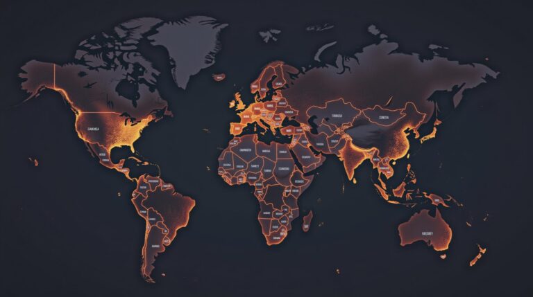
- Geospatial data integration:** GeoAI systems efficiently manage and integrate diverse types of geospatial data like satellite imagery, radar, GPS data, elevation maps, and environmental sensor readings.
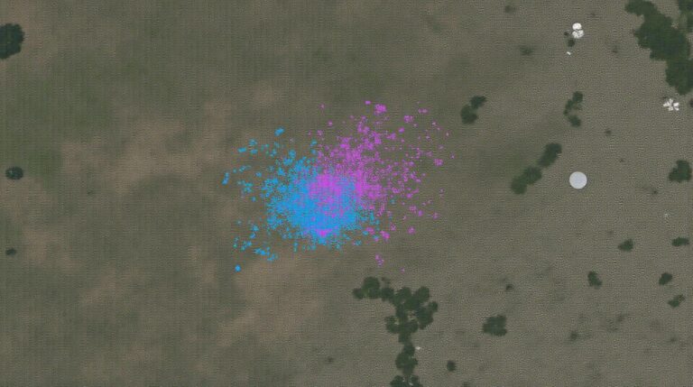
- Spatial analytics:** GeoAI focuses on extracting insights from spatial data through intricate methods like spatial density analysis, location forecasting, and pattern recognition.
- Machine learning algorithms:** GeoAI uses advanced techniques for pattern recognition, classification, and prediction, significantly improving the accuracy and predictive power of analytical models.
- Real-time processing and visualization:** GeoAI systems can process vast amounts of geospatial data in real-time and visualize these intricate patterns for informed decision-making.
Benefits of GeoAI
GeoAI brings undeniable benefits to organizations across numerous fields because of its ability to analyze complex spatial data and solve intricate problems. Some of the key advantages include:
- Improved Decision-making: GeoAI tools provide insightful and proactive insights, leading to better and faster decision-making.
- Enhanced Efficiency: **Optimized route planning, resource allocation, disaster response, and targeted marketing become more efficient and precise with GeoAI tools.
- Better Risk Management: **GeoAI allows organizations to identify and mitigate potential risks like natural disasters, urbanization, pollution, etc., which can have a significant impact.
- Sustainable Development: **GeoAI empowers businesses and organizations to manage natural resources more sustainably and optimize environmental impact.
Practical Applications of GeoAI
GeoAI is transforming world-changing industries and organizations by providing their comprehension and intelligence into spatial scale problems and opportunities:
- **Urban Planning and Development:** GeoAI optimizes city planning layouts, traffic flow management, environmental monitoring, and public safety initiatives.
- Disaster Management and Response: ** GeoAI aids in rapid identification and pattern recognition of natural disasters like fires, floods, or earthquakes.
- Financial Services: **GeoAI creates a more targeted and effective approach for insurance, risk assessments, and market research.
- Agriculture: **GeoAI provides comprehensive insights for optimization of irrigation, crop planting, yield predictions, and pest infestations.
- Environmental Science: **GeoAI contributes to biodiversity mapping, pollutant analysis, and predictions of climate change trends.
Begin Your GeoAI Journey
As a critical field in the landscape of data science, GeoAI is poised to further shape the way we interact with our world. The abundance of data, including satellite imagery, weather maps, geographic data, and more, has become available to solve complex problems in various fields.
You can become part of this exciting journey!
To learn more about GeoAI:
By leveraging the transformative power of GeoAI, we can unlock unprecedented potential to truly understand, manage, and optimize our world.
## Introduction to GeoAI and Geospatial Artificial Intelligence: FAQ
This comprehensive guide covers everything you need to know about GeoAI and geospatial artificial intelligence. To navigate this guide easier, here’s a collection of frequently asked questions.
What is GeoAI?
GeoAI, or Geospatial Artificial Intelligence, utilizes machine learning and AI techniques to analyze, understand, and manipulate geographic data. Just like traditional AI, but with a geographic focus.
What is GeoAI used for?
GeoAI has diverse applications, including predicting natural disasters, optimizing logistics, and creating virtual twins for buildings, cities, and infrastructure. It’s used in fields like:
- Urban Planning
- Disaster Management
- Environmental Monitoring
- Healthcare
- Agriculture
How is GeoAI different from traditional GIS?
GeoAI incorporates automatic data processing and learning capabilities to offer more advanced analysis and insights compared to traditional Geographic Information Systems (GIS).
What Formats are commonly used in GeoAI?
GeoAI utilizes various data formats like geospatial vector files (like Shapefiles, GeoJSON, and KML) and raster data (like TIFF, GeoTIFF, and JPG), along with images, sensor data, and text for analysis.
What Is required before I can use GeoAI?
Depending on the application and your chosen platform, you may require a machine learning algorithm trained on geographically relevant data to achieve cost-effective and accurate insights.
Where can I learn more about GeoAI and find resources to get started?
## Importance of GeoAI and Geospatial Artificial Intelligence
GeoAI introduces a whole new frontier of opportunity. This technology can potentially empower:
- **More efficient urban planning and development:** By analyzing population, traffic, and demographic data, land use can be optimized for sustainable growth.
- **Improved disaster preparedness and response:** Early detection and estimation of risks can help build resilient communities.
- **Greater environmental sustainability and water management:** Fewer pollutants and more efficient resource use lead to a healthier world.
- **Earlier diagnosis and targeted medical treatment:** GeoAI-powered healthcare applications can revolutionize healthcare delivery.
The future of GeoAI is bright, teeming with possibilities for the betterment of various parts of our world.
## Next Steps for You
Discover the global potential of GeoAI for yourself. Take some time to explore learning platforms and resources linked above to delve deeper into this exciting technology.