King County GIS: Tools for Exploration
King County GIS: Tools for Exploration
King County GIS: Tools for Exploration
King County, home to bustling Seattle and a breathtaking natural landscape, is a rich source of data for anyone interested in understanding its diverse features and functions. King County GIS, the county’s official geographic information system (GIS) platform, provides an invaluable resource for residents, businesses, researchers, and anyone seeking geospatial insights. This guide explores the key features, benefits, and practical applications of King County GIS, highlighting reliable data sources, tools, and platforms you can use.
What is King County GIS?
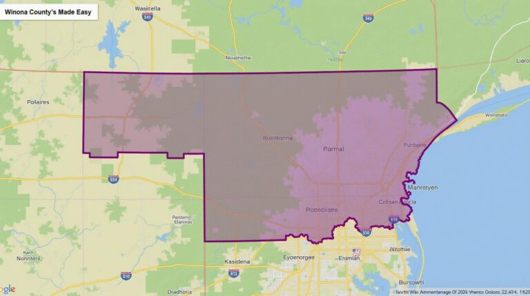
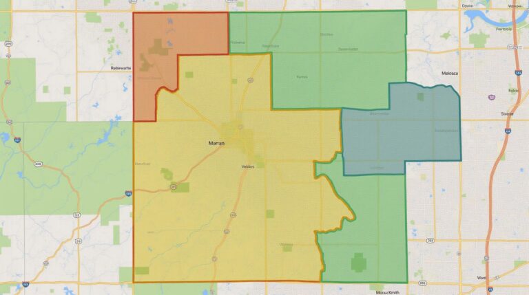
King County GIS offers a comprehensive library of geospatial data covering a wide range of topics. From transportation networks and parks to environmental hazards and land use, the platform maps essential county information, making it easier for everyone to explore and understand the geography and services within the county.
Featured Data and Resources
- Transportation & Infrastructure: Access real-time traffic information and interactive maps of bus lines, highways, and rail lines.
- Planning & Development: View zoning maps, land use policies, and development plans for different properties and neighborhoods.
- Environmental Data: Explore examples of creek & river water quality data, flood plain maps, and land cover change analysis.
- Park & Recreation: Discover locations of parks, trails, public spaces, and waterfront areas, available for offline access and mobile apps.
Benefits of King County GIS for Various Users
King County GIS provides tailored advantages for different user groups:
- Residents: Use the platform to recognize neighborhood demographics, access nearby amenities, plan and access park locations, understand properties in their nearby areas, and connect to emergency services.
- Businesses: Assess location viability for business expansion plans, benefit from planning resources of demographic trends, learn popular schemes for accessibility, and discover local infrastructure development.
- Researchers: Access high-quality data for geospatial study, support research upon geography, environmental hazards, and urban planning; by utilizing the platform can easily analyze and submit research questions.
Accessing King County GIS
King County GIS is readily accessible through multiple online platforms:
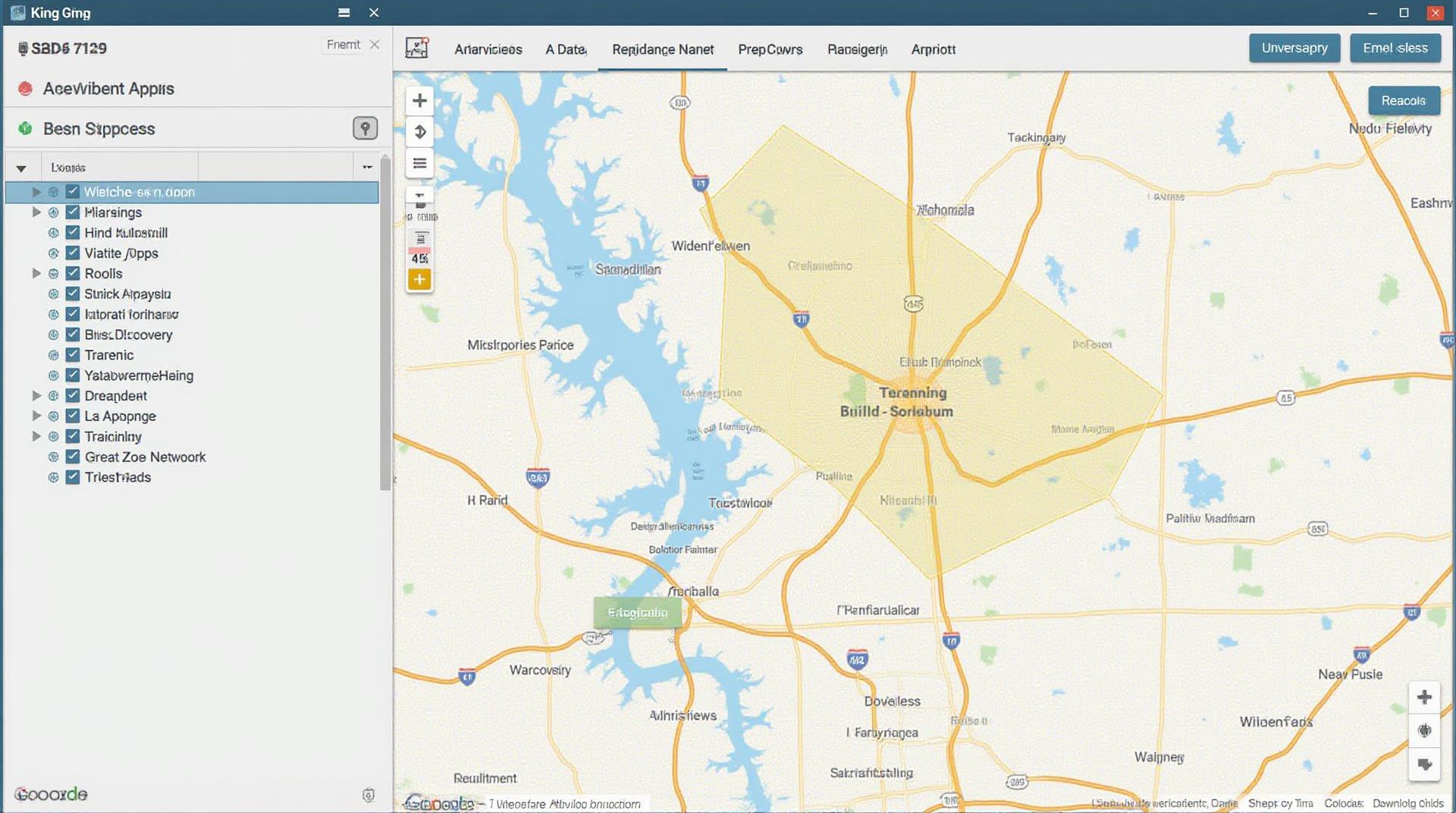
- King County Public Portal: A one-stop shop for accessing valuable county information, including GIS resources. This portal includes dashboards, desktop maps, and various interactive features.
- King County Atlas & Manager Portal: A comprehensive platform for county data analyzed from multiple authoritative sources, offering interactive map exploration and data downloading.
- Esri ArcGIS Online (Key Service)**: This global platform offers extensive data sets, integrate features and mapping functionalities for dedicated users and researchers.
- King County Map App**: Allows users to explore the county on the go with offline mapping access.
Tips for Making the Most of King County GIS
- Start with Exploration**: Gain a deeper understanding by searching for the specific topics you are interested in and exploring the featured resources.
- Explore Tutorials and Documentation**: King County GIS offers comprehensive documentation and helpful tutorials to guide you through the interface and various tools.
- Share Your Findings**: Let others benefit from your GIS explorations and share maps, data, and insights with our community.
“`html
Frequently Asked Questions
Looking for answers to common questions about GIS data from King County? Here are some answers to frequently asked questions:
Where can I access King County GIS data?
You can find King County’s GIS data on various platforms depending on your needs:
- King County GIS Data Catalog: This resource offers a comprehensive listing of available layers and data downloads.
- Interactive Online Mapping System: Explore the data visually with our interactive maps.
- King County Open Data Portal: This portal provides access to a wide range of publicly available data across various topics, including socio-economic indicators, environment, and urban planning.
What data formats are available for download?
King County provides various data formats to suit different uses, including:
- shapefiles: Ideal for mapping and spatial analysis
- GeoJSON: A widely supported format for web map integration
- TCAD files**: Precisely created data for engineering and transportation
- CSV files**: Useful for tabulations or statistical data
- Geodatabases**: For a more extensive data management solution
What are the best practices for using King County GIS data?
Using GIS data efficiently involves the following steps:
- Know your data: Understand the data themes, units, and spatial features associated with each dataset.
- Use appropriate tools**: For spatial data manipulation, utilization of QGIS or other GIS analytical software is essential.
- Respect data licensing**: Ensure you comply with the legal restrictions and licenses associated with each data set.
- Conduct appropriate validation**: Before implementing GIS data in your work, carefully validate the data to identify potential issues and ensure its accuracy.
King County GIS data is vital! Here’s why:
- Planning and Management**: GIS data is essential for urban planning, land use management, environmental impact assessment, and resource allocation.
- Emergency Response**: The location and distribution of critical assets (including utilities, first responders) are crucial for swift response in emergency situations.
- Infrastructure operations**: Services and infrastructure routes are managed efficiently using GIS data to optimize performance, lower costs, and prevent traffic congestion
The data empowers you to:
- Identify trends and patterns
- Predict future conditions
- Make informed decisions
“`
** Key points:**
* **Clear and concise language:** The FAQs are written in a simple and straightforward style to ensure easy understanding.
* **Well-formatted lists:** Usingunordered lists and bullet points contributes to readability and visual appeal
* **Active links and explanations:** Links to download GIS data as well as their use cases are provided.
* **Importance of GIS:** The concluding section emphasizes the value of GIS in helping King County make better decisions related to various aspects.
* **Actionable insights:** Potential users are encouraged to leverage the resource to understand and apply its potential for decision-making.
Check similar topics: