Lake County, IL GIS: Mapping Made Simple
## Lake County, IL GIS: Mapping Made Simple
Lake County, Illinois, is much more than just a bustling suburban haven. Beneath its smooth surface lies a treasure trove of data: utilities, infrastructure, demographics, environmental features, and countless other factors pinpointed through geographic information systems (GIS). Understanding and leveraging this data is crucial for residents, businesses, students, researchers, and various stakeholders. This blog post serves as your comprehensive guide to navigating the Lake County, IL, GIS landscape.
Understanding GIS in Lake County
GIS is essentially the art and science of capturing, storing, analyzing, and visualizing spatial data. Lake County’s GIS primarily involves access to and utilization of maps and aerial photography, providing a wealth of information about the county’s physical and human characteristics. This data converges into interconnected data clusters that can be visualized as maps, charts, maps and other interactive tools, signifying its significance in a variety of applications.
Key Features of Lake County GIS Data
* **Transportation Network:** Understand road networks, public transportation, highways, bike paths, and all points of travel across the Lake County area.
* **Land Use and Land cover:** Identify agricultural lands, forests, parks, industries, residential areas, and much more. This crucially aids in land conservation, resource planning, and urban growth.
* **Critical Infrastructure:** Maps portraying water bodies, utilities (water, sewer, electric), broadband networks, cell towers, and fire stations aid in emergency response planning, infrastructure management, and mitigation strategies.
* **Environmental Studies:** Gain insight into geological formations, lake properties, specific environmental protection areas, and potential hazardous materials locations.
* **Business Development and Outreach:** Visual dashboards for economic development, business targeting, and demographic analysis.
* **Land Title Records:** Quickly view property boundaries, accurate location data, map surrounding features and view historical data.
* **Community Development:** Explore zoning districts, tax assessments, and find parks, libraries, and community centers.
Benefits of Accessible Lake County GIS Data
* **Informed Decision-Making:** Users can confidently make decisions regarding real estate purchases, business location, investment research, or urban development strategies.
* **Optimized Resources:** Cities and companies can utilize the data to allocate resources, plan development or implement efficient land management practices.
* **Enhanced Emergency Preparedness:** GIS maps can be used in efficient disaster response, evacuation mapping, and communication, assisting emergency services with quick action plans.
* **Municipal Service Improvements:** Insight into infrastructure, public service delivery, and community resources helps municipalities deliver better and improved public services.
* **Public Awareness and Engagement:** Interactive or open-source tools allow citizens to access information, participate in citizen science, and develop collaborative initiatives.
Accessing Lake County GIS Data
There’s no shortage of valuable resources to explore. The Lake County GIS Department websites is your best launching pad.
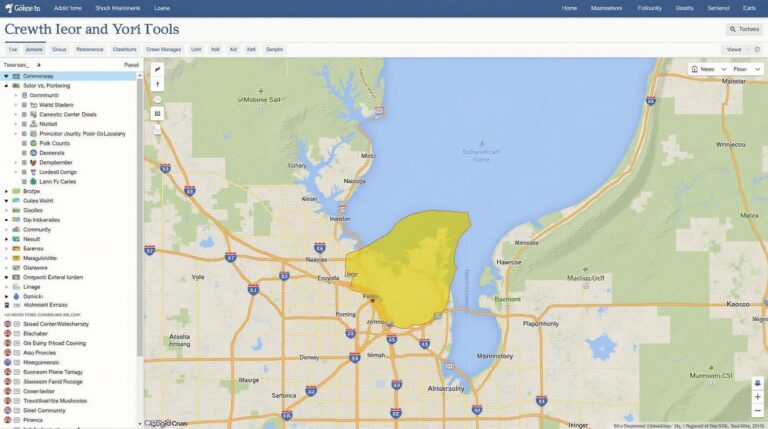
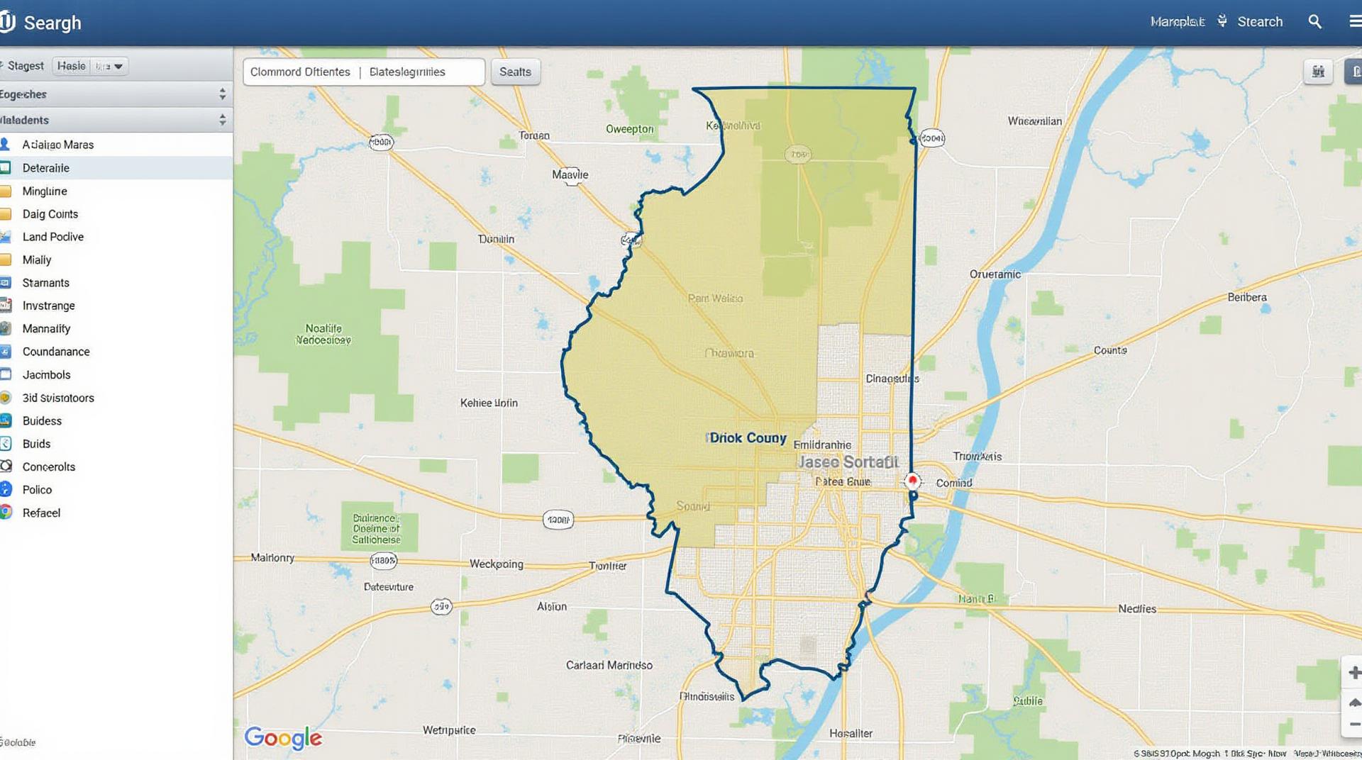
- Lake County GIS Online Map Viewer: This web-based platform offers a wide array of interactive mapping options. Explore satellite imagery, aerial photos, road network maps, parcel maps, and locate the data for your needs.
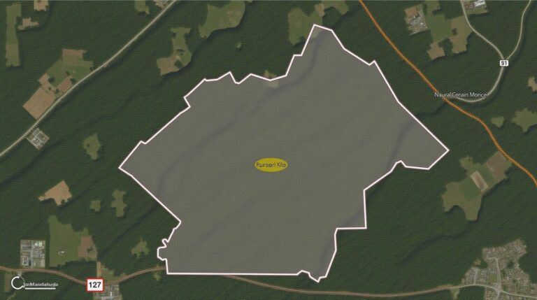
- Lake County GIS Data Portal: This section access raw data, including shapefiles, CAD files, and geodatabases. Use tools to perform spatial analysis, filter data, and extract specific information to create highly detailed maps or reports.
- Lake County Eureka Project: < This project offers access to detailed topographic maps of Lake County with thematic overlays, including hydrographic features, soil information, and land cover. This is a unique and invaluable opportunity for researchers seeking in-depth geological and environmental insight.
Beyond the official Lake County GIS websites, you can also find valuable resources and data from:
- Illinois Department of Transportation (IDOT): Access road networks, traffic data, and other infrastructure information.
- United States Geological Survey (USGS): Access geological, topographic, and historical data for the Lake County region.
- City or Village GIS Websites:: Many other towns within Lake County maintain their own websites with mapping resources.
Using GIS Data Effectively
Understanding various features and tools is key. Check out these resources
* **Online Mapping Tools:** Utilize online tools like ArcGIS Online, Google Earth Pro, and QGIS to create and share customized maps for presentations, reports, or collaboration with other stakeholders.
* **Spatial analysis:** Perform specific analysis based on data points, such as calculating distance, applying overlays to map land use patterns, or identifying points of interest.
* **Field Data Collection:** Integrate GPS devices or mobile mapping apps into field surveys to collect valuable spatial data about observations for real-time analysis.
* **Community Engagement:** Coordinate public outreach programs or citizen science initiatives that utilize GIS data to engage the community in insightful discussions about local issues.
Conclusion
Lake County GIS data provides a window into the county’s storied past and its masterful future. From understanding community development and infrastructure needs to tracking natural phenomena and researching environmental changes, this data is rightfully gaining recognition for its remarkable application and the potential it holds for further strategic planning, innovation, and sustainable development.
The accessibility of this information and it’s incredible ability to tell stories through visuals is a valuable asset for residents, businesses, researchers, and anyone with a passion for unlocking the interconnected spaces across this vibrant region. Remember, with a little guidance and the tools at your disposal, the mysteries of Lake County can be unraveled and investigated.
What kind of GIS data does Lake County GIS offer?
Lake County GIS offers various data layers and formats for mapping and analysis. This includes infrastructure like roads, bridges, water utilities, parks, and wetlands. We also provide demographic data, zoning information, and other urban planning data. Some examples of available formats include:
- Shapefiles
- GeoJSON
- CSV
- KML Files
Where can I find GIS data for Lake County?
Access GIS data through our interactive website and download it in various formats:
Can I customize or extract specific data for my projects?
Yes, we offer the option to customize or extract specific data for your needs. You can:
- Choose specific data layers from our various datasets by providing detailed parameters.
- Configure the file download format of your choice.
How can I use GIS data?
GIS data benefits various fields:
- Public safety and emergency responders can use it to plan routes and response strategies.
- City planners can view and analyze land use, zoning, and infrastructure to make informed decisions.
- Businesses and developers can benefit from spatial data for site location, planning, and market analysis.
What are the benefits of using GIS data?
GIS data offers various benefits, including:
- Improved decision-making: Accessible, manageable, and visual data helps strategize effectively and make insightful decisions.
- Enhanced spatial analysis: Leveraging spatial data allows identifying relationships between different features and contributing to effective analysis.
- Increased accessibility and transparency: Publically available data fosters a transparent and informed approach for decision-making and community engagement.
Conclusion
Utilizing GIS data is critical for Lake County and its residents. This data empowers individuals, agencies, and communities by providing a rich information platform for policy-making, monitoring, and planning. By working with Lake County GIS, you access essential spatial data that shapes responsible planning and effective strategies. Remember to explore our extensive resources and data download options through the interactive platform.