Lee County GIS: Coastal Mapping Tools
Lee County GIS: Coastal Mapping Tools
Understanding the intricate details of our coast is crucial for planning, development projects, and environmental conservation efforts. Lee County in Florida boasts a wealth of valuable data collected through its geographic information system (GIS). This blog post explores the uses, benefits, and accessible resources harnessing this information to serve residents, businesses, and researchers alike.
### Visualizing Lee County’s Coastal Landscape
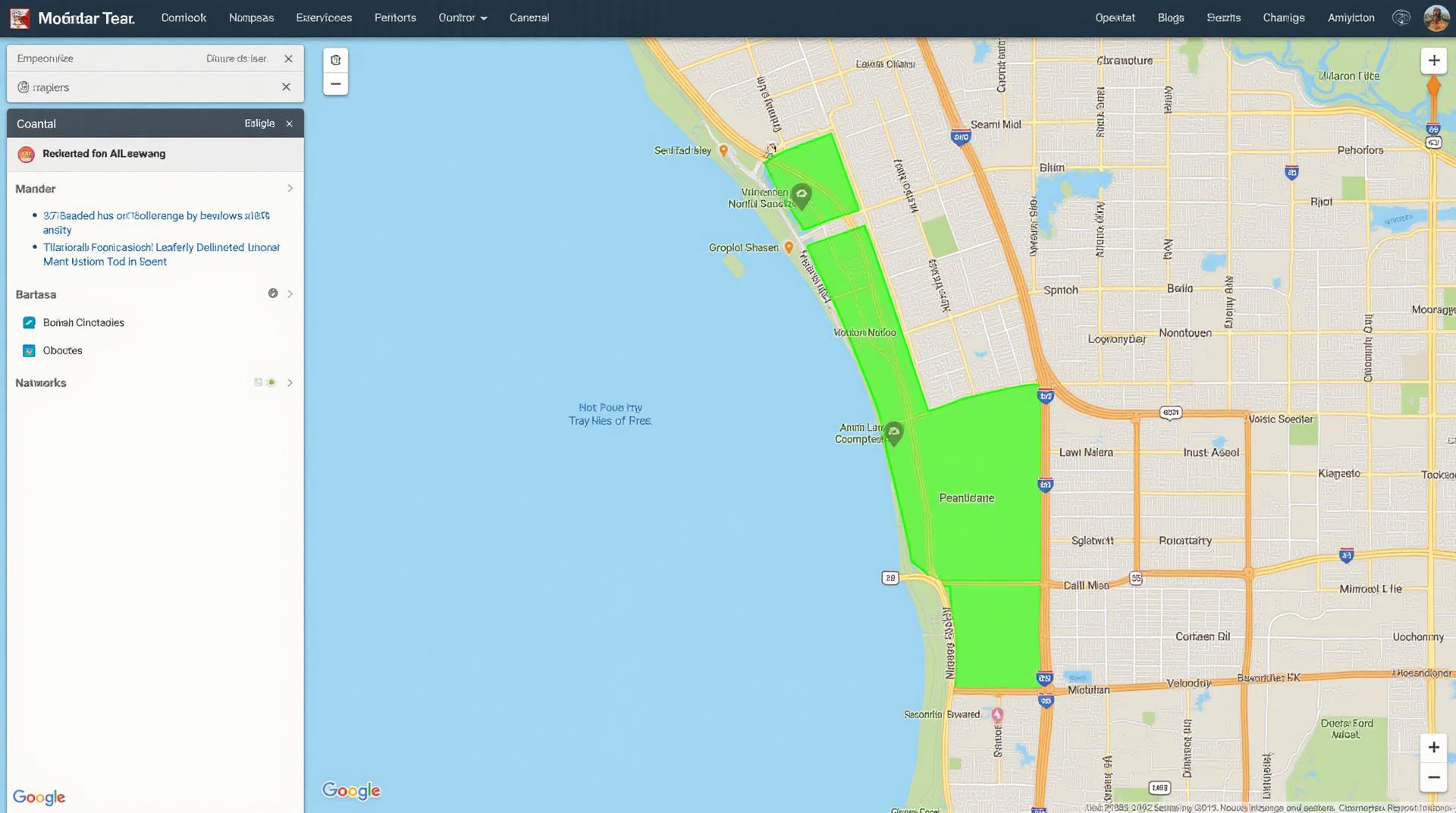
GIS empowers you to view maps of the land, seascape, and inland waters, which are usually taken as a foundation for understanding coastal processes. Lee County offers robust coastal mapping functionality, including:
* **Shoreline and Water Bodies**: Accurately detailed maps displaying existing shoreline features, including inlets, bays, beaches, and marshes.
* **Coastal Erosion Risk Maps**: Providing insights into coastal areas susceptible to erosion, highlighting potential impacts on property, infrastructure, and ecosystems.
* **Sea Level Rise Projections**: Understanding local impacts of climate change by accessing data predicting future sea level rise and predicting future flooding dynamics.
* **Coastal Hazard Zones**: Identifying sensitive areas prone to storm surge, flooding, and coastal erosion, aiding in informed planning and decision-making.
* **Beach Geography**: Visualizing the properties of diverse beaches, including sand thickness and composition for properties focused on recreational beaches.
### Enhancing Local Understanding – Key Benefits of Coastal GIS
The insights available through Lee County’s GIS platform offers multiple benefits across different user groups, including:
* **Residents**: Making informed decisions regarding property, beach access, and flood risk mitigation.
* **Businesses**: Optimizing locations for commercial development, minimizing exposure to environmental hazards and optimizing logistics and resource management.
* **Researchers**: Conducting comprehensive studies, developing models, and analyzing data trends affecting coastal areas.
### Accessing Lee County’s GIS Resources
Here are the key tools and platforms available for accessing Lee County’s GIS data:
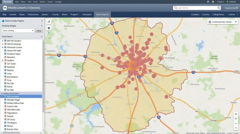
**1. Lee County Department of Geographic Information Services (GIS):**
This division acts as a hub for all GIS-related information, including publicly available datasets, tutorials, and resources.
- Website: https://www.leegov.com/gis/index.php
- Web Application: Check for publicly available web-based interfaces for data exploration.
**2. Florida Geological Survey (FGS)**
The FGS, through collaboration with Lee County, provides extensive geological data relevant to coastal erosion and stability currently available through datasets and their applications.
- Website: http://www.floridgeology.org
**3. Coastalzoning.com**
This powerful platform integrates local data with national datasets. It provides mapping tools allowing residents to visualize planning and building regulations in relation to coastal areas.
- Website: https://coastalzoning.com
- Community Forum: Consider participating in active forums for local and regional discussion using this platform.
### Engaging with Lee County’s GIS – Making a Difference
Lee County’s GIS platform empowers us with crucial information, leading to a vibrant future by providing an environment where:
- Sustainable coastal development considering environmental threats
- Risk analysis integration in infrastructure planning
- Monitoring of climate change impacts on coastal areas
Get involved with Lee County’s GIS initiatives by participating in open forums, collaborating with local agencies, and using the available resources to transform data into actionable insights!
FAQs – Lee-County-GIS
- What types of GIS data do you provide?
Lee-County-GIS provides a wide range of GIS data related to public land, infrastructure, and demographics. These include but aren’t limited to:
- Land use maps:**
- Urban and rural classifications
- Hydrology data
- Watersheds and floodplains
- Public infrastructure maps:**
- Roads and highways
- Utilities (water, sewer, electric)
- Schools
- Parks and recreation
- Demographic data:**
- Population density
- Housing units
- Land values
- Land use maps:**
- How do I access the GIS data?
You can access Lee-County-GIS data through various means:
- Our Interactive Portal: This platform allows you to explore the data, create maps, and download specific datasets.
- Online GIS Viewer:** Advance your analysis using this digital platform.
Why is GIS data important for Lee-County-GIS?
GIS data has become increasingly essential for Lee County. By providing critical information about our community, we gain various insights and advantages:
* **More informed decision-making:** Geographic data analysis helps identify trends, capacities, and potential issues related to land use, infrastructure, and population developments.
* **Effective planning & resource management:** GIS enriches planning processes for parks, roads, and other public services, optimizing their allocation and efficiency, leading to increased access and available resources in the county.
* **Engaged community participation:** Open access to GIS data allows citizens to visualize, understand their surroundings, and actively contribute to governing decisions. As such, it builds citizen awareness and participation leading to greater accountability.
* **Enhanced understanding of current issues:** Analyzing geographic patterns facilitates identification of vulnerable locations for various natural hazards, assisting in disaster planning and mitigation efforts.
These benefits are crucial for Lee-County-GIS to function effectively as a facilitator of information, promoting a better understanding and ability to manage the complex needs of the community and contribute to a stimulating, future-proof reality for the region.
Check similar topics: