Luzerne County GIS: Tools for the Community
## Luzerne County GIS: Tools for the Community
Imagine being able to quickly access information about your neighborhood, identifying zoning regulations, finding the best fire station for an emergency, or understanding the terrain to plan a recreational trail. This isn’t a futuristic fantasy, thanks to the power of Geographic Information Systems, or GIS. It’s the technology behind a wealth of resources available to anyone in Luzerne County, Pa.
This blog post acts as your guide to the exciting world of Luzerne County GIS, demonstrating its diverse applications and the valuable resources it offers. You’ll discover how accessing this data can empower you as a resident, business owner, or researcher.
What is Luzerne County GIS?
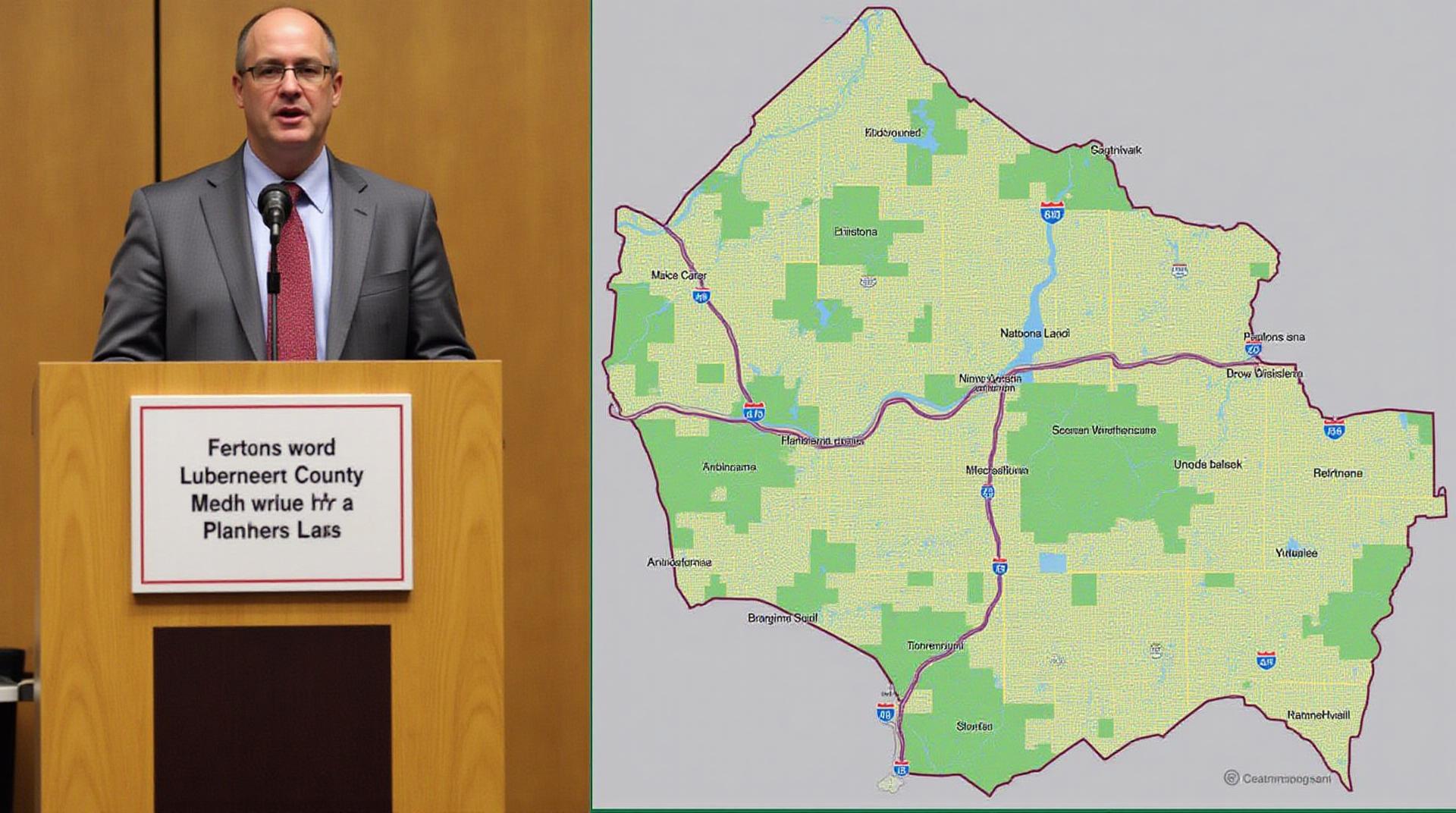
GIS maps and data are stored and utilized by local governments and agencies. These tools help plan community development, manage assets, and understand the geographic context of Luzerne County. Luzerne County leverages GIS to manage services affecting the community, promote development, and better understand the environment.
Here’s a glimpse of how GIS benefits Luzerne County and helps its residents:
* **Informed Decision Making:** GIS tools provide accurate data to inform policy development, planning initiatives, and decision-making processes.
* **Improved Service Delivery:** Citizens can access information about various county services like parks, libraries, and emergency services, while businesses can gain insights for strategic planning.
* **Understanding Environmental Impacts:** This vital tool helps assess natural disasters, track water quality, and analyze soil composition for environmental awareness and protection.
* **Community Engagement:** GIS data allows for interactive maps and visualizations, making it easy for residents to engage with local issues, contribute data, and voice their concerns.
Accessing Serious GIS PowerThrough Luzerne County GIS Resources
The heart of accessing Luzerne County GIS lies in its robust online platform and dedicated resources:
* **Luzerne County Government Website:**
* This portal is the first stop for accessing information, often featuring detailed maps and reports with interactive features that let you explore your county in greater depth.
* Look for datasets on zoning, property records, parks and recreation, and environmental regulations.
* **Geodatabase Portal:**
* This website provides direct access to the official geospatial data for the County, including zoning, land use, and census data.
* **Web-based Mapping Tools:** Understanding the available spatial data on the County itself becomes easy with tools like:
* **Google Earth:** Explore satellite imagery and aerial photos to get a more visual understanding of Luzerne County
* **ArcGIS Online:** A powerful platform that provides access to official Geodatabase data for analysis, visualization, and collaboration within various community-based projects
It’s important to remember that these resources, backed by the Luzerne County Data Center, are continuously updated to reflect the evolving state of the county, bolstering credibility and reliability.
***
Getting Started with Luzerne County GIS Resources
Let’s learn how to use these resources.
* **Finding Specific Data:** Once you’ve identified what information you need, you can either browse through the available datasets mapped on your chosen resource or take a look at the “Data Downloads” archives to explore specific data.
* **Understanding Geographic Features:**
* Luzerne County officially supports historical data which provides insight into zoning through the “Historic Zoning Information” details.
* Experts at the LUZNC Land Use services team also help interpret the data so Residents and Business owners can make informed decisions.
By combining these resources, you can unlock a wealth of information, helping you stay informed and make informed decisions within Luzerne County.
**Key takeaway:**
GIS isn’t just a technical tool; it’s a catalyst for progress in our County. It empowers us with the knowledge and insights needed to foster sustainable growth and contribute to the overall well-being of our communities. It sounds incredible, right? So, start exploring, and discover how GIS can benefit you, a resident or a business owner, by helping you make informed choices and become more involved in shaping the future of Luzerne County, PA.
What are the data formats available from Luzerne County GIS?
- Shapefiles: A widely used format for geospatial data, ideal for displaying and incorporating data into mapping software.
- GeoJSON: A simple and human-readable data format suitable for web mapping applications.
- Raster data (TIFF, GeoTIFF): High-resolution images used for aerial photography, land cover analysis, and other visual mapping applications.
How can I access Luzerne County GIS data?
- Data Download Page: Explore our curated dataset catalogue and find specific data layers aligned with your requirements.
- Email Request: For personalized datasets, you can send an email to gis@luzernecounty.gov with your request describing the datasets you need.
What is the importance of GIS Data for Luzerne County GIS?
GIS data holds immense value for Luzerne County GIS, empowering us to provide effective and informed services to the community. By utilizing GIS, we can:
- **Enhance Emergency Preparedness**: Map and analyze potential hazards to anticipate and respond efficiently to emergencies.
- **Improve Infrastructure Planning**: Undertake efficient infrastructure planning for transportation systems, utilities, and public works.
- **Support Decision Making**: Provide reliable and transparent data to facilitate informed decision-making governing resource allocation and community development projects
How can the learning and utilization of GIS data benefit me (individual)?
The benefits of accessing Luzerne County GIS data are not only limited to professionals within the county but extend to individual community members:
- **Discover local resources:** Utilize mapping tools to learn about parks, trails, and local amenities.
- **Assess property information:** Obtain detailed property layouts, zoning regulations, and tax information for effective resource usage.
- **Engage with neighborhood planning:** Contribute to planning decisions by providing insights and feedback on local developments.
GIS data is readily available to empower you, making information accessible and insightful for effective decision-making and engagement.