Milwaukee County GIS: Your Local Data Hub
Milwaukee County GIS: Your Local Data Hub
Milwaukee County is a tapestry of neighborhoods, parks, infrastructure, and growth. Unraveling this complexity requires an adept understanding of its physical landscape and key details. Enter the Milwaukee County GIS platform, a powerful tool for discovering and exploring the geographic information that shapes our community.
What is GIS?

GIS stands for Geographic Information System. It’s a technology that combines and analyzes geographic data to create maps, explore relationships between elements, and support decision-making. Think of it as a virtual atlas showing the location, relationships, and crucial information about everything in Milwaukee County.
Milwaukee County GIS: Features and Benefits
Milwaukee County GIS offers a wealth of free and easy-to-use tools and resources:
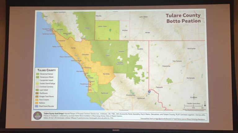
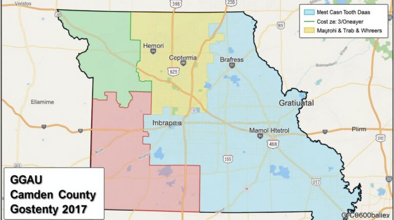
* **Land Use and Development:** Dive into the changes happening within the county. Visualize proposed developments, existing zoning, and land ownership patterns over time.
* **Natural Resources:** Explore biking and hiking trails, access recreational areas, analyze water quality data, and understand environmental overlays.
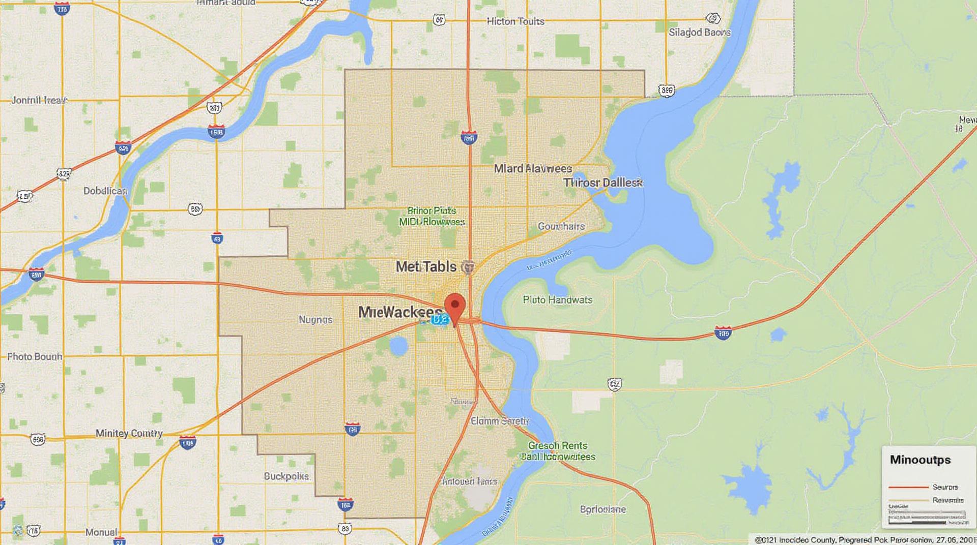
* **Infrastructure:** Find information on road networks, utilities (electricity, water, gas), public transportation lines, and critical facilities like hospitals and schools.
* **Demographic and Economic Data:** Discover demographic information like population density, income levels, and housing costs, complemented with business data and entrepreneurship in key areas.
By leveraging the GIS data, communities, researchers, and businesses can gain valuable insights into:
* **Smart Growth Planning:** Identify areas for development, prioritize infrastructure improvements, conduct urban sustainability assessments.
* **Emergency Response Management:** Predict evacuation routes, assess areas vulnerable to natural disaster events, and better allocate resources.
* **Economic Development:** Track business trends, identify new opportunities, and understand transportation patterns for improved logistics and investments.
Milwaukee County GIS Resources
Accessing the power of Milwaukee County GIS is facilitated through several resources:
1. Milwaukee County GIS Website:** https://www.milwaukeecountywi.gov/gis
This is your central hub, featuring interactive maps, data downloads, detailed information about the county’s geography, and regularly updated research reports.
2. Milwaukee County CIP Portal:** https://www.milwaukeecountywi.gov/cipapps/milwaukeecountyrev
links to the County’s capital improvement projects, allowing people to review proposed improvements and planning activities visually.
3. Data Tools:**- Data Download:** Explore available data tables and download them into various formats like shapefiles and CSV for integration into other systems.
- Interactive Map Viewer:** Easily explore the county’s geography, zoom in on specific locations, identify features of interest, and explore data layers overlaid on the map at your fingertips.
- Mobile App & Web Apps:
These tools and the comprehensive information provided by the county will help individuals and businesses delve deeper into the intricacies of Milwaukee County.
For Residents, Businesses, and Researchers
GIS plays a crucial role in the everyday lives of Milwaukee County residents and offers a wealth of potential applications:
* **Residents:** Geographically identify local parks, recreation centers, community amenities, emergency services, and make informed decisions during evacuation scenarios in the face of natural disasters.
* **Businesses:** Employ GIS for feasibility studies, market analysis, cost-optimization, infrastructure assessments and strategically locate properties, and locations for businesses.
* **Researchers:** The wealth of data provides the material for research and analysis across a broad spectrum of topics, including urban planning, ecological studies, and demographic trends.
Milwaukee County GIS empowers residents, businesses, and researchers. By leveraging these resources, you can unlock valuable insights into your community and drive progress that shapes Milwaukee County for the future.
Frequently Asked Questions – Milwaukee-County-GIS
Frequently Asked Questions
Need to know more about our GIS data? Check out our FAQs below!
Data Availability
We provide various datasets for Milwaukee County, covering topics like:
- Parks and Recreation
- Transportation
- Land Use
- Hydrology
You can find a full list of available datasets on our Data Portal: https://gis.milwaukee.gov/data
Data Formats
We offer diverse data formats to suit your needs, including:
- Shapefiles
- GeoJson
- GeoTiff
- CSV
Refine your search by selecting the appropriate format from our Data Portal: https://gis.milwaukee.gov/data-portal/data-downloads
Data Usage
GIS data unlocks a treasure trove of useful information for various stakeholders:
- City planning and development
- Permitting processes
- Infrastructure management
- Environmental assessments
To leverage the vast potential of our GIS toolkit, you can:https://gis.milwaukee.gov/applications
Getting Started
We recommend exploring our data before diving in:
- Take a look at our interactive map: https://gis.milwaukee.gov/data/interactive-map
- Discover our interactive learning platform for developers and users: https://gis.milwaukee.gov/developer
- Register for a free guided technical session: https://gis.milwaukee.gov/events
Conclusion
At Milwaukee-County-GIS, we understand the significance of open and accessible Geographic Information System (GIS) data. Our collection empowers diverse stakeholders in planning initiatives, real estate decisions, and environmental analyses by providing valuable insights. Through the access to high-quality GIS data, Milwaukee-County-GIS makes a meaningful contribution to the civic well-being of its citizens.
Check similar topics: