Monitoring Deforestation Trends with Remote Sensing
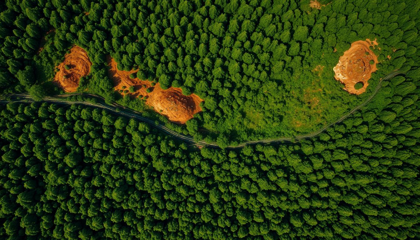
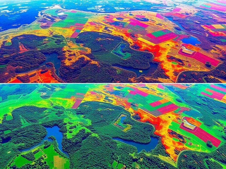
Deforestation is a big problem, causing a lot of harm to our planet. It’s making our forests disappear at an alarming rate. Luckily, remote sensing technology is helping us keep an eye on this issue. It lets us track deforestation trends with great accuracy and speed.
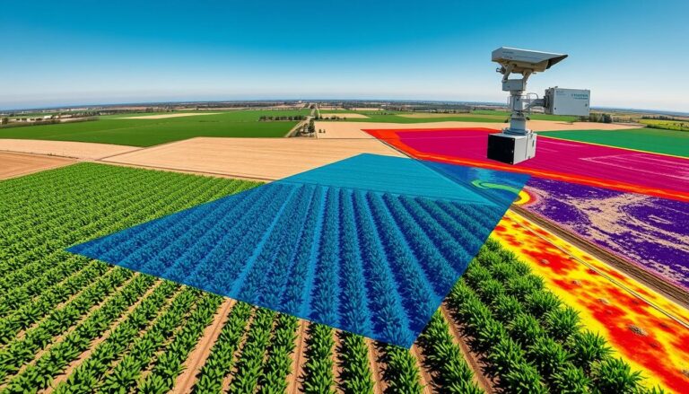
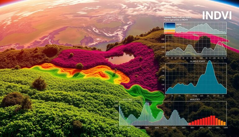
Remote sensing is a science that helps us learn about the Earth without touching it. It uses satellite images and aerial surveys to gather data. This way, experts and leaders can see how forests are changing in real-time. It helps them make better plans to save our forests.
Key Takeaways
- Remote sensing technology is transforming the way we monitor and analyze deforestation trends globally.
- Satellite imagery and aerial surveys provide comprehensive data on forest cover changes, enabling more effective conservation efforts.
- Advancements in remote sensing capabilities are driving innovative solutions to address the urgent challenge of deforestation.
- Integrating remote sensing data with ground-based assessments can provide a holistic understanding of deforestation patterns and drivers.
- Collaboration between governments, non-governmental organizations, and the private sector is crucial for leveraging remote sensing to its full potential.
Introduction to Remote Sensing for Deforestation
Remote sensing is a key technology in environmental science. It helps track deforestation and monitor forests. By using sensors and imaging, it gives us important info about forests and their changes.
Definition of Remote Sensing
Remote sensing lets us get info without touching things. In environmental science, it uses aerial or satellite sensors. These capture data on the Earth’s surface, like vegetation and land use.
Importance in Environmental Science
Remote sensing is very important in environmental science. It helps us watch forest monitoring and deforestation. With GIS technology, scientists can understand environmental changes. This helps make better decisions and manage resources well.
| Remote Sensing Technology | Applications in Environmental Science |
|---|---|
| Satellite Imagery | Monitoring land-use changes, deforestation, and habitat loss |
| Aerial Photography | Assessing vegetation health, detecting forest fires, and mapping land cover |
| Hyperspectral Imaging | Identifying plant species, detecting invasive species, and monitoring ecosystem dynamics |
“Remote sensing technology has revolutionized our understanding of global environmental changes, enabling us to monitor and manage our forests and natural resources more effectively than ever before.”
The Context of Deforestation Globally
Deforestation is a big problem worldwide, with forests being lost at a fast rate. The world’s tropical rainforests are disappearing quickly. This is a big threat to our planet’s ecosystems and biodiversity.
Current Statistics and Trends
Recent data shows that deforestation has gotten worse in the last few years. The Food and Agriculture Organization (FAO) says we lost about 10 million hectares of forest each year from 2015 to 2020. This is much faster than before. The main reasons are more farming, logging, and building projects.
Key Regions Affected by Deforestation
The Amazon rainforest, the Congo Basin, and the tropical rainforests of Southeast Asia are hit hard by deforestation. These places have very diverse and valuable ecosystems. Losing them affects the whole world.
- The Amazon rainforest, called the “lungs of the Earth,” has lost about 17% of its original forest since 1970.
- The Congo Basin, the second-largest tropical rainforest, has seen a 14% drop in forest cover from 1990 to 2020.
- In Southeast Asia, especially Indonesia and Malaysia, deforestation has been very high. They’ve lost about 25% of their forests since 1990.
| Region | Forest Loss (1990-2020) |
|---|---|
| Amazon Rainforest | 17% |
| Congo Basin | 14% |
| Southeast Asia | 25% |
“The destruction of the world’s tropical rainforests is one of the most pressing environmental issues of our time, with far-reaching consequences for the climate, biodiversity, and the livelihoods of indigenous communities.”
How Remote Sensing Works
Remote sensing technologies have changed how we watch and study deforestation worldwide. They use satellite data, LiDAR, and multispectral imaging. These tools help us see how forests change over time.
Types of Remote Sensing Technologies
- Satellite Data: Satellites like Landsat, MODIS, and Sentinel give us a view from above. They help spot and map deforestation on a big scale.
- LiDAR: LiDAR uses laser pulses to make detailed 3D models of forests. It measures tree height, canopy density, and biomass, showing how forests are doing.
- Multispectral Imaging: This tech captures data in different wavelengths. It can tell apart different land types, like healthy forests and deforested areas.
Data Acquisition Methods
Data is collected from satellites, aircraft, and drones. These methods give us a quick and full view of deforestation. This helps researchers and policymakers make smart choices about forests.
| Remote Sensing Technology | Data Acquisition Platform | Spatial Resolution | Temporal Resolution |
|---|---|---|---|
| Satellite Imagery | Satellites | 10-30 meters | 1-16 days |
| LiDAR | Aircraft, Drones | 0.5-5 meters | Irregular |
| Multispectral Imaging | Satellites, Aircraft, Drones | 1-30 meters | 1-16 days |
By using these different technologies together, researchers can really understand deforestation. This helps us better watch and protect the world’s forests.
Advantages of Remote Sensing for Deforestation Monitoring
Remote sensing technologies are key in the battle against deforestation. They use satellite imagery and aerial surveys. These tools are cost-effective and can monitor large areas in real-time.
Cost-effectiveness
Remote sensing is very affordable. Traditional methods are expensive and take a lot of time. But, remote sensing can cover big areas at a low cost. This makes it a great choice for fighting deforestation.
Timeliness and Scalability
Remote sensing is fast and can cover a lot of ground. It can get data quickly, helping to spot deforestation fast. This allows for quick action. It also lets us see deforestation trends over big areas, giving a full picture of the forest.
| Metric | Traditional Ground-based Monitoring | Remote Sensing Approach |
|---|---|---|
| Cost | High | Low |
| Timeliness | Slow | Near real-time |
| Scalability | Limited | High |
Remote sensing is a strong ally in the fight against deforestation. It’s affordable, quick, and can handle big areas. This makes it a top choice for monitoring and protecting forests.
Challenges in Remote Sensing
Remote sensing has changed how we track deforestation. Yet, it comes with its own set of challenges. Main issues include understanding data and how weather affects image quality.
Data Interpretation Issues
Understanding the data from remote sensing is complex. Things like data accuracy, image quality, and forest complexity make it hard. Researchers keep working to improve their methods for better data.
Cloud Cover and Weather Effects
Weather and clouds also pose a big problem. They can ruin the quality of images from space. Image processing helps, but it’s not enough. Researchers often use many sources to get good data.
| Challenge | Description | Potential Solutions |
|---|---|---|
| Data Interpretation Issues | Complexity in accurately identifying and quantifying deforestation trends due to factors such as data accuracy, image resolution, and the complexity of forest ecosystems. | Continuous refinement of analytical methods, integrating multiple data sources, and leveraging advancements in data science and machine learning. |
| Cloud Cover and Weather Effects | Degradation of satellite and aerial imagery quality due to atmospheric interference, such as cloud cover and inclement weather conditions. | Employing advanced image processing techniques, utilizing a combination of data sources, and exploring innovative remote sensing technologies that are less susceptible to weather conditions. |
Beating these challenges is key for reliable deforestation monitoring. We need ongoing research, innovation, and teamwork. This will help us use remote sensing to its fullest potential.
Remote Sensing Data Sources
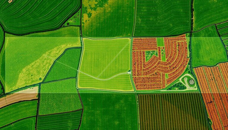
Tracking deforestation needs many types of remote sensing data. Satellite images are key, giving us a view of forests worldwide. Programs like Landsat and the European Union’s Sentinel satellites are widely used. They take high-resolution pictures that show changes in forests over time.
Aerial surveys add more detail, using drone surveys and sensors on planes. Drones are especially useful because they’re affordable and can reach hard places. Mixing satellite and aerial data helps researchers understand deforestation better.
| Data Source | Key Features | Advantages |
|---|---|---|
| Landsat Satellites | High-resolution optical and infrared imagery | Long-term historical data, global coverage |
| Sentinel Satellites | Multi-spectral and radar data | Frequent revisit times, free and open access |
| Drone Surveys | High-resolution aerial imagery and LiDAR data | Flexible deployment, low-cost data collection |
Using these different data sources, experts and leaders can really understand deforestation. This helps them make better plans for saving and managing forests.
Case Studies of Remote Sensing in Action
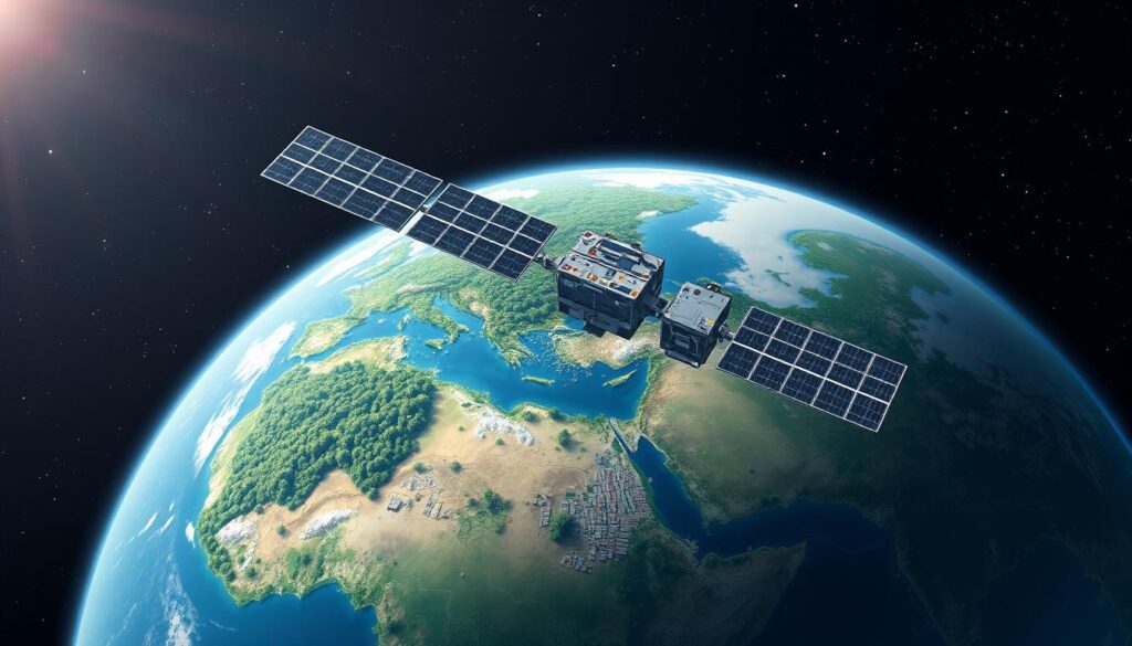
Remote sensing technologies are key in tracking deforestation and managing forests worldwide. Let’s dive into two examples that show how these tools are making a difference.
Amazon Rainforest Monitoring
The Amazon rainforest is called the “lungs of the planet.” It faces threats from deforestation and illegal logging. But, REDD+ (Reducing Emissions from Deforestation and Forest Degradation) and remote sensing are fighting back.
With satellite images and aerial surveys, experts can track forest changes accurately. They use high-resolution data to spot deforestation hotspots. This helps focus conservation efforts and stop illegal logging detection. It’s a big win for the Amazon’s forest conservation projects.
Southeast Asia Forest Management
In Southeast Asia, remote sensing is vital for forest management. Governments and NGOs use satellite data to watch over forest health. They also detect encroachment and fight illegal logging.
- Satellite images reveal fast deforestation spots, leading to quick actions and policy changes.
- Aerial surveys give detailed info on forest health, species, and logging extent.
- This data helps leaders create effective forest conservation projects and strengthen laws.
These examples show how remote sensing can change the game in protecting forests. It’s a powerful tool against deforestation worldwide.
Integrating Remote Sensing with Ground Data
Remote sensing technologies are key in understanding deforestation. But, they work best when paired with ground surveys and social data. This mix, called “ground truthing,” gives a full view of why forests are being lost.
The Role of Field Surveys
Remote sensing shows deforestation from above. But, field surveys are needed to check satellite data and get deeper insights. These surveys gather info on land use, vegetation, and community views. This data, along with aerial images, helps understand deforestation better.
Combining Remote Data with Social Indicators
- Remote sensing data can be matched with socio-economic factors like population growth and poverty. This reveals why forests are being cut down.
- By mixing these social indicators with remote sensing data, researchers can create better plans for forest care.
- This “integrated monitoring approach” helps understand deforestation fully. It helps policymakers and land managers make smart choices.
Using both remote sensing and ground methods is key for tracking and stopping deforestation. By combining their strengths, researchers can show how environmental, social, and economic factors affect forest loss.
Applications in Policy and Management
Remote sensing technology is key in shaping forest policy and conservation strategies globally. It offers detailed, timely data on forest cover and land use. This helps policymakers and land managers make informed decisions for sustainable land use and forest conservation planning.
Informing Conservation Strategies
Remote sensing data is essential for creating effective forest policy and conservation plans. It uses satellite imagery and aerial surveys to spot deforestation and track conservation success. This data helps plan targeted actions to protect forests, restore habitats, and ensure forest resources last long.
Supporting Regulatory Frameworks
Remote sensing data is also crucial for enforcing sustainable land use and forest management rules. It helps policymakers set and check if rules are followed, like deforestation limits and replanting needs. This data strengthens the impact of these rules over time.
| Application | Key Benefits |
|---|---|
| Informing Conservation Strategies |
|
| Supporting Regulatory Frameworks |
|
As we face challenges in forest policy, conservation planning, and sustainable land use, remote sensing’s role grows. It gives policymakers and land managers the data they need. This leads to better, evidence-based decisions and positive change for the world’s forests.
Future Trends in Remote Sensing Technology
Remote sensing technology is getting better, with exciting changes ahead. These include better satellite sensors and more use of artificial intelligence (AI) and machine learning. These advancements will make forest monitoring more effective.
Advancements in Satellite Capabilities
Satellite remote sensing is set to get a big boost. Hyperspectral imaging will allow for capturing a wider range of light. This means we’ll get more detailed info about forests.
New satellites will also have better spatial resolution. This will help us spot and track changes in forest cover more accurately.
AI and Machine Learning in Data Analysis
Deep learning algorithms are changing how we analyze remote sensing data. These smart algorithms can automatically find deforestation patterns. This makes automated forest monitoring possible on a bigger scale.
By using AI tools, forest management agencies can better spot and tackle threats. This helps them work more efficiently to protect forests.
These tech upgrades will lead to better monitoring of deforestation. They will help decision-makers make more effective plans for sustainable forest management.
“The future of remote sensing lies in the fusion of cutting-edge satellite technology and the intelligence of artificial systems, unlocking new possibilities for safeguarding our precious forests.”
Collaboration in Deforestation Monitoring
Monitoring and protecting the world’s forests need teamwork. Governments, NGOs, and the private sector all have key roles. Together, they tackle the complex issue of deforestation.
Partnerships between Governments and NGOs
Governments and NGOs are teaming up to improve forest monitoring. They use each other’s strengths to create strong plans. This mix of data, satellite images, and field reports helps track deforestation and act fast.
The Role of the Private Sector
The private sector is crucial in fighting deforestation. Companies with big impacts on forests are adopting corporate sustainability and international cooperation. They do this through sustainable sourcing, planting trees, and backing forest conservation initiatives.
| Stakeholder | Contribution to Deforestation Monitoring |
|---|---|
| Governments | Provide regulatory frameworks, enforcement, and land use data |
| NGOs | Conduct on-the-ground surveys, engage local communities, and advocate for policy changes |
| Private Sector | Implement sustainable business practices, support conservation initiatives, and invest in technology |
Working together, the world can better protect its forests. This teamwork ensures a green future for all.
Conclusion
Remote sensing technology is key in fighting deforestation worldwide. It offers cost-effective and timely satellite images. It also uses AI and machine learning to analyze data. This new way changes how we track and act on changes in our forests.
Summary of Remote Sensing Benefits
Remote sensing lets us collect detailed data on deforestation. It helps spot risky areas and check if conservation works. By combining this tech with on-the-ground surveys and social data, we get a full picture of forest loss. This helps us make better policies and manage forests better.
Call to Action for Sustainable Practices
We must use remote sensing insights to make real changes. Governments, NGOs, and businesses need to work together. They should strengthen conservation plans, create strong rules, and support forest-friendly growth. Together, we can protect our forests and ensure a green future for all.

