Monitoring Soil Moisture with Remote Sensing
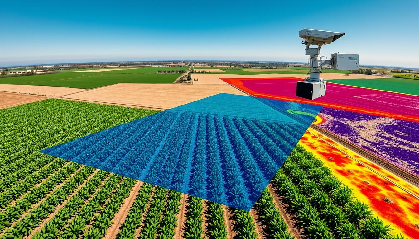
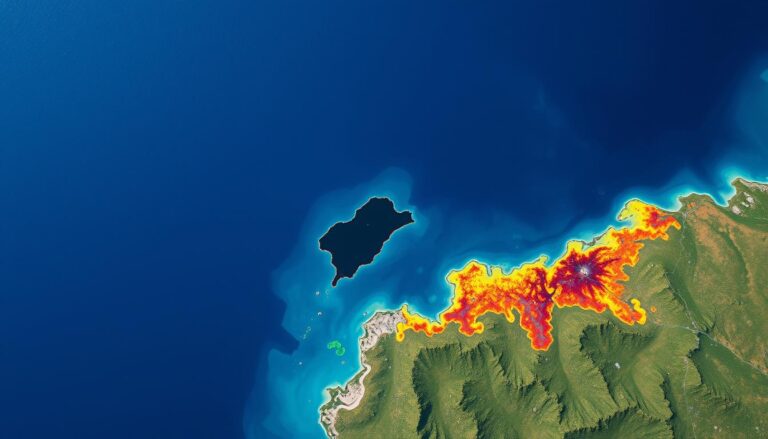
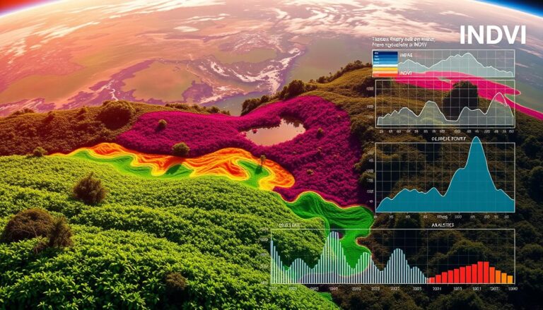
In today’s world, knowing the moisture level in soil is key for farming and caring for our environment. Remote sensing technology is a big help here. It lets us see soil moisture levels in real-time over large areas. This could change how we use water, grow crops, and deal with climate change.
Remote sensing lets us study the Earth’s surface without touching it. It uses satellites and sensors to collect data on soil moisture and more. This data helps us make better choices in farming, water use, and fighting climate change.
Key Takeaways
- Remote sensing technology has revolutionized the way we monitor soil moisture, providing comprehensive and real-time data on a large scale.
- Accurate soil moisture information is crucial for optimizing agricultural practices, managing water resources, and addressing the impacts of climate change.
- Remote sensing techniques, such as satellite imagery and advanced sensor technologies, enable the collection of detailed soil moisture data across vast regions.
- The integration of remote sensing data with other agricultural and environmental data can lead to more informed decision-making and sustainable resource management.
- As technology continues to advance, the potential for remote sensing in soil moisture monitoring is expected to grow, with new applications and innovations on the horizon.
Introduction to Remote Sensing Technology
Remote sensing has changed the game in agriculture and environmental science. It uses sensors to collect data from the Earth’s surface without touching it. Starting with aerial photography, it now uses satellites, drones, and software to give us valuable insights.
Definition of Remote Sensing
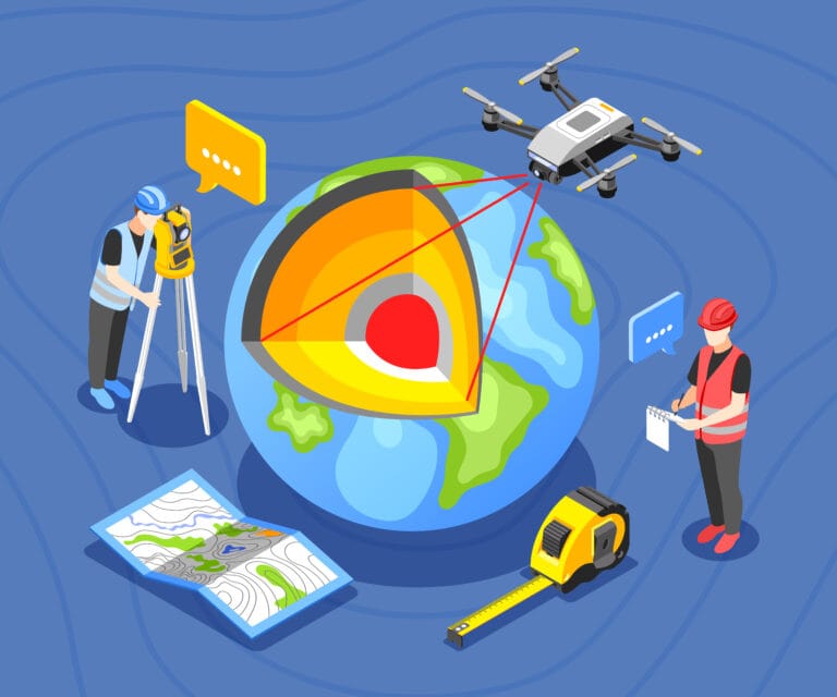
Remote sensing lets us get information from a distance. It uses sensors like cameras and scanners from satellites or planes. This way, we can learn about the Earth’s surface and its resources without being there.
History and Evolution of Remote Sensing
Remote sensing started with aerial photography in the late 19th century. It grew with the launch of satellites in the 1960s. Now, it’s key for tasks like precision farming and tracking the environment.
Applications in Agriculture and Environmental Science
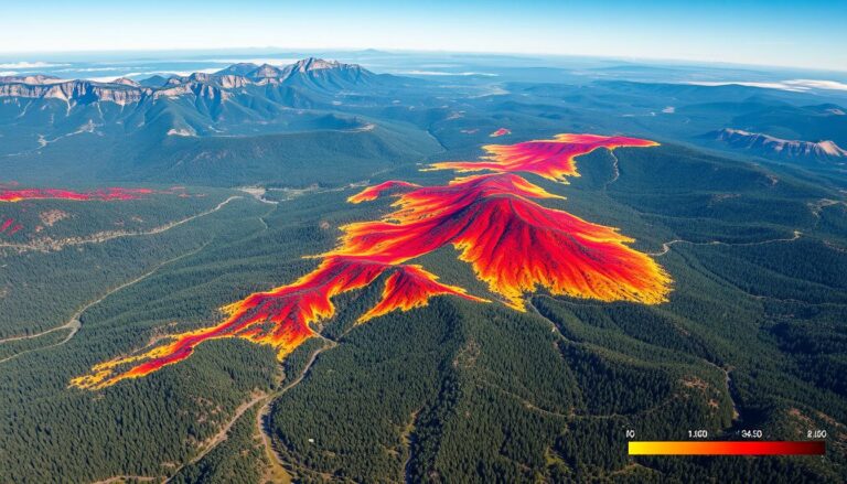
In agriculture, remote sensing checks crop health and finds pests. It also helps with soil moisture and fertilizer use. For environmental science, it tracks deforestation and wildfires. It’s a big help in understanding climate change’s effects.
“Remote sensing technology has transformed the way we approach agriculture and environmental management, enabling us to make data-driven decisions that benefit both the land and the people who depend on it.”
Importance of Soil Moisture Monitoring
Soil moisture data is key in many fields, like agriculture, water management, and climate studies. It helps us understand soil moisture dynamics. This knowledge is crucial for better crop production, water conservation, and studying environmental changes.
Role in Agriculture and Crop Management
Soil moisture data is vital for precision farming. It helps farmers decide when to water, apply fertilizers, and choose crops. This approach boosts yields, saves water, and lessens environmental harm.
Impact on Water Resource Management
Soil moisture data is essential for water management. It helps spot water shortages and plan water use. This is especially important in areas facing water stress due to climate change or growing populations.
Significance in Climate Studies
Soil moisture is a key factor in climate models. It affects how energy and moisture move between the Earth and the atmosphere. By tracking soil moisture, scientists can understand climate change’s effects on water, weather, and ecosystems.
| Application | Importance of Soil Moisture Monitoring |
|---|---|
| Agriculture and Crop Management | Optimize irrigation schedules, improve water use efficiency, and enhance crop yields |
| Water Resource Management | Identify water-scarce regions, guide water allocation strategies, and support drought mitigation |
| Climate Studies | Improve understanding of climate change impacts on water availability and ecosystem dynamics |
Monitoring and analyzing soil moisture data is crucial. It supports sustainable farming, effective water use, and climate research.
Remote Sensing Techniques for Soil Moisture
Soil moisture is key for farming and studying the climate. Remote sensing is a top tool for tracking this moisture. It uses various methods to collect and analyze soil moisture data. Let’s look at these methods, their benefits, and what they can’t do.
Satellite-based Remote Sensing
Satellites are a big help in monitoring soil moisture over large areas. They have special sensors that pick up the radiation from the Earth’s surface. This radiation changes based on how wet the soil is. This info helps us see soil moisture levels over big areas with good detail.
Ground-based Remote Sensing
Ground-based methods also help track soil moisture. These use sensors on the ground, like radar or radiometers, to check the soil’s moisture. These sensors give very accurate data at certain spots. They work well with the wider view from satellites.
Sensor Technologies
New sensor tech has made remote sensing better for soil moisture. Tools like microwave radiometers, synthetic aperture radars, and hyperspectral imagers can spot small changes in soil. This means we can guess soil moisture more accurately. These tools keep getting better, promising even more precise data soon.
By mixing satellite and ground-based methods with the latest sensors, we can really understand soil moisture. This helps in farming, managing water, and studying climate change. It leads to smarter decisions.
Key Remote Sensing Satellites for Soil Moisture
Remote sensing satellites are key in tracking soil moisture worldwide. The SMAP, Sentinel-1 and Sentinel-2, and MODIS missions are at the forefront. They help us understand soil moisture levels.
SMAP (Soil Moisture Active Passive)
NASA launched the SMAP satellite in 2015. It’s designed to measure soil moisture from space. SMAP uses both active and passive sensors to get detailed soil moisture data at a 9-kilometer resolution. Its data is vital for farming, water management, and climate studies.
Sentinel-1 and Sentinel-2 Missions
The European Space Agency’s Sentinel-1 and Sentinel-2 missions are also crucial. Sentinel-1 uses radar to measure soil moisture. Sentinel-2 provides high-resolution images to estimate soil moisture. Together, they help manage soil resources better.
MODIS (Moderate Resolution Imaging Spectroradiometer)
NASA’s Terra and Aqua satellites carry the MODIS instrument. MODIS isn’t just for soil moisture, but its data can help estimate it indirectly. It’s used for drought monitoring and predicting crop yields.
| Satellite | Sensor Technology | Spatial Resolution | Applications |
|---|---|---|---|
| SMAP | Active (Radar) and Passive (Radiometer) | 9 km | Agricultural monitoring, water resource management, climate research |
| Sentinel-1 | Synthetic Aperture Radar (SAR) | 10-20 m | Soil moisture mapping, land cover monitoring, disaster management |
| Sentinel-2 | Multispectral Imaging | 10-60 m | Vegetation monitoring, land cover mapping, soil moisture estimation |
| MODIS | Multispectral Imaging | 250-1000 m | Drought monitoring, crop yield forecasting, land surface temperature analysis |
These satellites offer a detailed look at soil moisture worldwide. Their data is essential for managing water, farming, and adapting to climate change.
Data Collection and Processing
Monitoring soil moisture with remote sensing needs accurate data collection and processing. This step uses different methods to get, prepare, and analyze data. It helps get reliable soil moisture estimates.
Data Acquisition Techniques
There are many ways to get remote sensing data for soil moisture. Satellite-based remote sensing gives big, consistent data. Ground-based sensors offer local, real-time data. The choice depends on what you need and where you are.
Pre-processing of Remote Sensing Data
Before using the data, it goes through pre-processing. This includes atmospheric correction, geometric correction, and radiometric calibration. These steps make the data accurate and ready for analysis.
Algorithms for Soil Moisture Estimation
After pre-processing, the data goes into algorithms for soil moisture estimates. These use physical models, empirical relationships, or machine learning techniques. The right algorithm depends on the sensor, environment, and needed accuracy.
By managing data collection and processing well, we can fully use remote sensing for soil moisture. This is key for farming, water management, and studying the climate.
Challenges in Soil Moisture Remote Sensing
Remote sensing has changed how we track and manage soil moisture. Yet, it faces several hurdles. Issues like environmental factors, spatial and temporal resolution, and data validation and calibration are key challenges. These factors can affect the accuracy and reliability of soil moisture measurements.
Environmental Influences on Measurements
Soil moisture can be greatly affected by many environmental factors. These include vegetation cover, surface roughness, soil texture, and atmospheric conditions. It’s crucial to consider these factors when analyzing and interpreting remote sensing data.
Spatial and Temporal Resolution Issues
The resolution of remote sensing data can be a challenge for soil moisture monitoring. Low-resolution data might miss the detailed variations in soil moisture. On the other hand, high-resolution data might lack in temporal coverage. Researchers are working hard to enhance the spatial and temporal capabilities of remote sensing.
Data Validation and Calibration
Getting accurate soil moisture data is vital for making informed decisions in agriculture, water management, and climate studies. However, validating and calibrating remote sensing data against ground-based observations is complex and resource-intensive. Research is ongoing to find more efficient and reliable methods for data validation and calibration.
Despite these challenges, the field of remote sensing for soil moisture monitoring is advancing. New technologies, algorithms, and data integration strategies are emerging. These advancements aim to overcome current obstacles and fully utilize the potential of remote sensing for soil moisture monitoring.
Advances in Remote Sensing Technologies
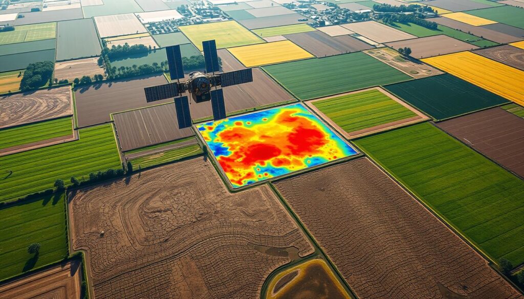
The field of remote sensing is always changing. New sensors, platforms, and data processing methods are making a big difference. These changes are making it easier and more accurate to monitor soil moisture.
New Sensors and Platforms
New remote sensing satellites and airborne platforms are being launched. They have better spatial and temporal resolutions and spectral capabilities. The Sentinel-1 and Sentinel-2 missions from the ESA offer high-resolution radar and multispectral imagery. The SMAP satellite from NASA is designed to measure soil moisture with high accuracy.
Machine Learning and AI Integration
Machine learning and AI algorithms are now used to process remote sensing data. These tools help automate the extraction of soil moisture information. They also improve the accuracy of soil moisture estimates, making decision-making more efficient.
High-resolution Satellite Imaging
High-resolution satellite imaging technologies have changed the game for soil moisture monitoring. Satellites like WorldView-3 and GeoEye-1 can capture images at up to 0.31 meters resolution. This allows for detailed analysis of soil conditions and water content at the field or sub-field level.
These advancements in remote sensing technologies are making soil moisture monitoring more accurate, efficient, and accessible. They have big implications for agriculture, water resource management, and climate change research.
Case Studies in Soil Moisture Monitoring
Remote sensing technologies have greatly helped us understand soil moisture patterns. They are used in many areas, like agriculture, drought management, and urban planning. This section looks at real examples of how these technologies help.
Agricultural Applications in the Midwest
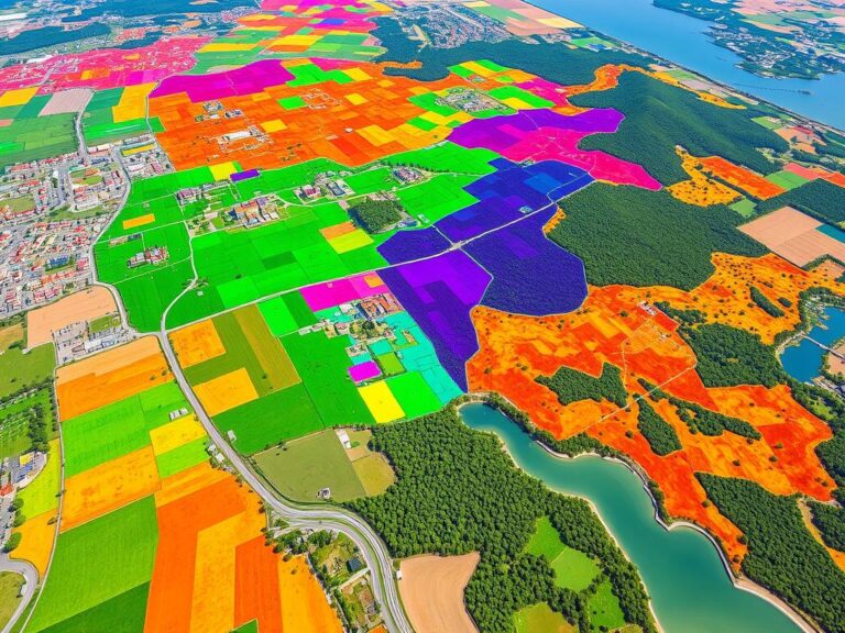
In the Midwest, USA, remote sensing helps farmers a lot. It lets them check soil moisture levels. This way, they can decide when to water, which crops to grow, and how to manage their land.
A study in Illinois shows how it works. Satellite images and sensors on the ground helped find areas where crops might be stressed. Farmers then used this info to save water and grow better crops.
Drought Monitoring in Arid Regions
Remote sensing is key for drought monitoring in dry areas. A study in the southwestern USA shows how it works. It used satellite data to track drought over time.
This info helps water managers plan better. They can decide how to use water, take steps to save it, and prepare for emergencies.
Urban Soil Moisture Management
In cities, soil moisture monitoring is important for parks, trees, and water systems. A study in a big city shows how it works. It used remote sensing and sensors on the ground.
This helped city planners find where water was needed most. They could then water plants better, saving water and keeping parks healthy. It also helped manage stormwater, improving the city.
These examples show how remote sensing helps in many ways. It benefits agriculture, drought management, and urban planning. By using this technology, we can make better choices, use resources wisely, and face environmental challenges better.
The Role of Remote Sensing in Climate Change Studies
Remote sensing technology is key in studying climate change and its effects on soil moisture. It uses satellite images and advanced sensors. This way, scientists can track soil moisture changes, study climate change impacts, and find ways to lessen its effects.
Monitoring Soil Moisture Variability
NASA’s SMAP and the European Union’s Sentinel-1 and Sentinel-2 missions are vital. They give data on soil moisture worldwide. This data helps researchers see how soil moisture changes over time, linking it to climate change.
By understanding these changes, scientists can predict how climate change will affect farming, water use, and ecosystems.
Impact Assessment of Climate Change on Soil Moisture
Remote sensing data is key in understanding climate change’s impact on soil moisture. It looks at how climate factors like temperature and rain affect soil moisture. This helps predict how future climates might change soil moisture.
This info is crucial for planning how to adapt to climate change. It helps in making decisions about water use, farming, and protecting ecosystems.
Mitigation Strategies Using Remote Sensing Data
Remote sensing data helps in finding ways to lessen climate change’s effects on soil moisture. It can spot areas at risk of drought or soil damage. This guides the use of smart irrigation, green farming, and restoring ecosystems.
It also helps in creating early warning systems and disaster response plans.
| Remote Sensing Satellite | Soil Moisture Monitoring Capability |
|---|---|
| SMAP (Soil Moisture Active Passive) | Measure soil moisture levels at a global scale with high accuracy |
| Sentinel-1 and Sentinel-2 | Provide high-resolution data on soil moisture and vegetation health |
| MODIS (Moderate Resolution Imaging Spectroradiometer) | Monitor soil moisture and vegetation dynamics at regional and global scales |
Remote sensing is vital in climate change studies, especially for soil moisture. It offers important data and insights. These tools are essential in our fight against climate change’s effects on this vital resource.
Future Trends in Soil Moisture Monitoring
The future of soil moisture monitoring is changing fast. New technologies and teamwork are leading the way. The Internet of Things (IoT), smart agriculture, drones, and data sharing are set to change how we use this important resource.
Integration with IoT and Smart Agriculture
IoT and remote sensing are coming together. This will create a network of devices that watch over Soil Moisture everywhere. Smart agriculture will use this data to help farmers make better choices about water and crops.
The Rise of Drones and UAVs
Drones, or Unmanned Aerial Vehicles (UAVs), are becoming key in Soil Moisture monitoring. They can get detailed data that satellites can’t. Drones with special sensors will help farmers work more precisely, changing the game in Smart Agriculture.
Collaborative Data Sharing Initiatives
The future of Soil Moisture monitoring is about sharing data. Projects that let everyone share Soil Moisture information will open up new ways to make decisions. This teamwork will lead to better farming, more efficient use of resources, and a greener future.
By adopting these trends, we’ll see big changes in Soil Moisture monitoring. New tech and teamwork will help farmers, leaders, and scientists face big challenges. These include food security, managing water, and adapting to climate change.
Policy and Regulatory Framework
As remote sensing technologies grow, a strong policy and regulatory framework is needed. This section looks at international guidelines, funding, and the role of government agencies. They all shape the use of remote sensing for soil moisture monitoring.
International Guidelines on Remote Sensing
Many international groups have set guidelines for remote sensing use. The United Nations has adopted Principles on Remote Sensing. These principles help ensure the fair and ethical use of satellite data. The Group on Earth Observations (GEO) also has rules for sharing remote sensing data worldwide.
Funding and Support for Research
Remote sensing for soil moisture needs ongoing research funding. Agencies like NASA and the European Space Agency give grants for this research. The World Bank and the United Nations Development Programme also support projects using remote sensing to solve global problems.
The Role of Government Agencies
- Regulatory oversight: Government agencies make rules for remote sensing use. They protect privacy, security, and the environment.
- Capacity building: These agencies offer training and resources. They help farmers and policymakers use remote sensing data.
- Fostering collaboration: Government agencies bring together researchers, industry, and users. They help apply remote sensing for soil moisture monitoring.
By focusing on policy, funding, and rules, the world and government agencies can help remote sensing work well. This is for soil moisture monitoring and management.
Conclusion and Implications for the Future
Remote sensing technology is changing how we manage soil moisture. This is key for sustainable farming and taking care of our environment. The article has shown how these advanced tools are making a big difference.
Summary of Key Points
We’ve talked about why monitoring soil moisture is so important. We’ve also looked at the different ways to do it and the challenges. But, there are exciting new ways to use this technology, like with IoT and AI.
These new tools help with precision farming and studying climate change. They also help manage water better.
The Future of Remote Sensing in Agriculture
Remote sensing will play a bigger role in farming as we move forward. New sensor tech and high-resolution satellites will help us make better choices. This will lead to more sustainable farming and better water use.
Being able to check soil moisture quickly will change how we grow crops. It will help us save water and fight climate change.
Call to Action for Stakeholders
We need everyone to work together to use remote sensing in farming. Governments, research groups, tech companies, and farmers must join forces. They should invest in more research and make these tools easier to use.
By doing this, we can make farming more sustainable. This will help farmers and protect our planet.

