New Castle County GIS: Coastal Mapping Tools
New Castle County GIS: Coastal Mapping Tools
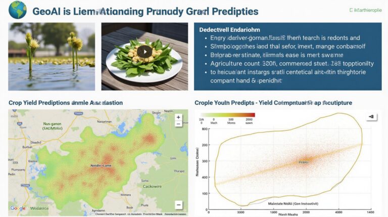
Discover the value of geospatial data for understanding and managing our coastal resources. This blog post explores New Castle County GIS, specifically focusing on its powerful coastal mapping tools and resources available to residents, businesses, and researchers.
What is Geographic Information System (GIS)?
Geographic Information System (GIS) is a powerful tool that utilizes digital maps and spatial analysis to help us comprehend and organize geographic information. It allows us to effectively visualize, manage, interpret, and share spatial data.
New Castle County GIS: Key Features and Benefits
New Castle County utilizes GIS technology effectively to provide valuable insights into our coastal region. Here are key features and benefits:
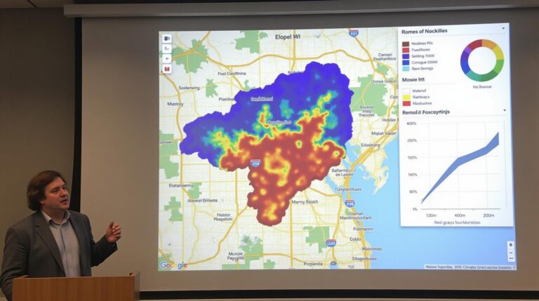
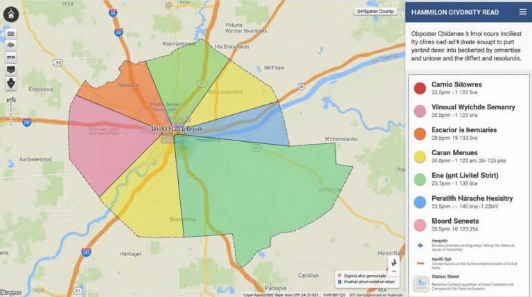
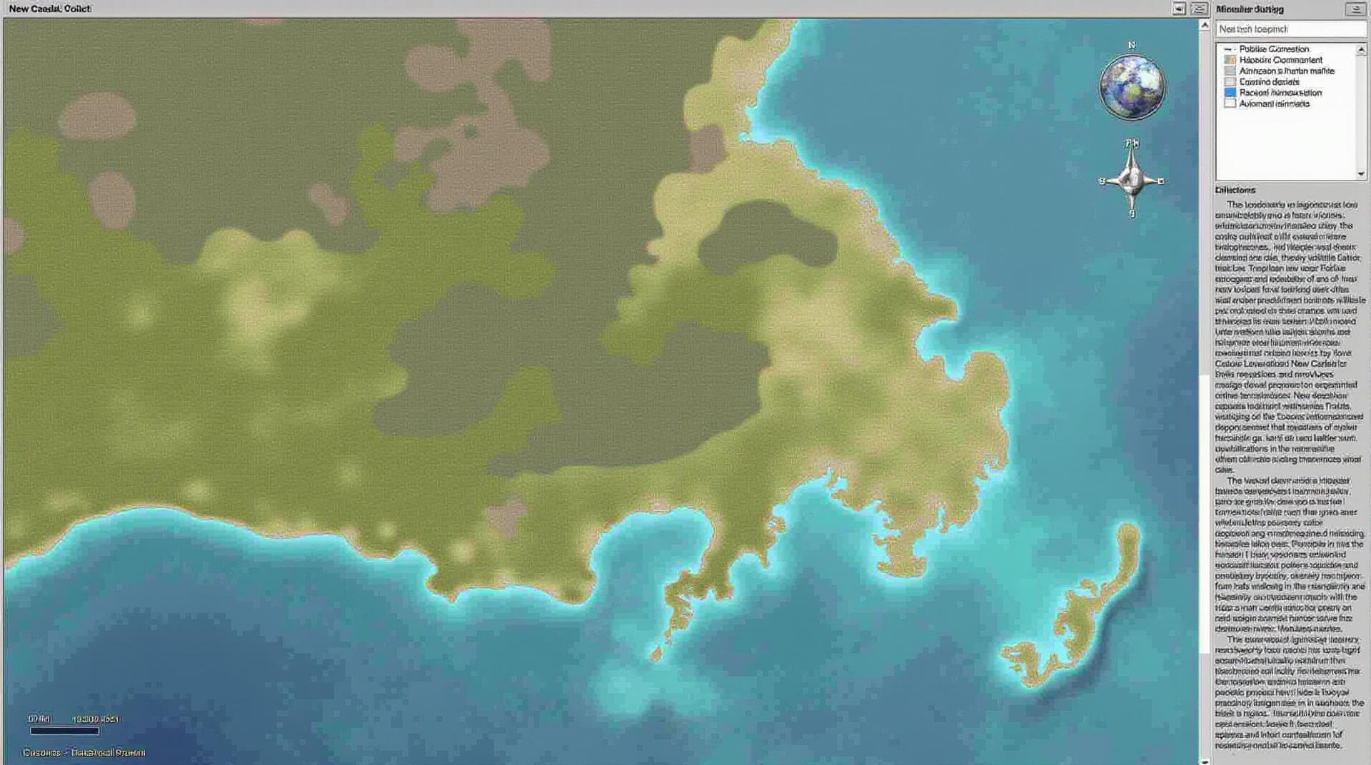
* **Coastal Zone Mapping:** The GIS program provides comprehensive mapping of the county’s coastline, including shoreline features, currents, tidal ranges, offshore land use, and designated federal coastal zone areas.
* **Resource Management:** Geospatial data helps with planning for coastal management within New Castle County. Residents can access information on important coastal resources like public beaches, crucial waterholes for sea life, and the types of restoration activities that are taking place.
* **Mapping for Planning & Development:** ArcGIS Online provides tools for real-time assessments of coastal landscapes. Planners can utilize this data to support more informed real estate development and construction projects that adhere to regulations.
* **Sea-Level Rise Projections & Emergency Response: **The GIS system can assist in analyzing and predicting the impact of sea-level rise. Integrating data from other sources, like land elevation and storm surge models, allows analysis to understand vulnerabilities, potential damage, and preparedness for coastal mitigation efforts.
Bridging Data Gaps: Reliable Data Sources
Here are the key data sources and platforms that contribute to the richness of New Castle County’s GIS system:
* **Delaware Department of Natural Resources and Environmental Control (DNREC):** DNREC’s website provides access to its extensive database of geospatial maps, including those related to coastal zones, water quality, and environmental regulations.
* **New Castle County GIS Online Map Server:** [https://gis.nccde.org/arcgis](https://gis.nccde.org/arcgis) The official website of New Castle County’s GIS department provides detailed public access. Users can explore interactive maps, data layers, and valuable tools for visualizing local geography.
* **Where.gov:** An initiative that makes geospatial data from federal agencies available for public use, including information on coastal zones and related data. [https://www.wheres.gov/](https://www.wheres.gov/)
Accessing Coastal Mapping Features: A User’s Guide
- Online Access: The New Castle County GIS Map Server offers an intuitive interface for users to explore data and access services. Research specific coastal features such as shorelines, boat launching sites, ports, or beach access points.
- Export Data: Save your findings conveniently by downloading data or create formatted layers to tailor presentations or reports for research or planning needs.
- User Training: To gain deeper skills and practical benefits from GIS, consider exploring online tutorials, documentation, or seeking preliminary assistance from the GIS specialists available at New Castle County.
Why Should You Care?
Understanding your surroundings through GIS data can have far-reaching implications for your life and your community. These tools are valuable and can be applied by:
- Residents: You can make informed decisions about assessing coastal health risks or identifying flood risk levels.
- Businesses: Analyze potential development opportunities within relevant coastal zones with a deeper understanding of the condition of the environment.
- Researchers: Utilize these data sets to conduct academic or advocacy-driven projects related to coastal management, pollution, or habitat conservation.
Conclusion: Shaping the Future of Coastal Communities
New Castle County’s GIS program is designed to foster collaborative decision-making, support informed community development, and drive coastal protection projects. By embracing these tools, both individuals and organizations can contribute to informed action for the long-term sustainability of our shared coastline.
FAQs
Questions about accessing and using GIS data for New Castle County? Find the answers below.
What GIS data is available?
New Castle County-GIS has a wide variety of geospatially-referenced data, including base maps, parcel data, zoning maps, aerial imagery, and much more. You can find links to specific datasets on the data download page here.
What formats are offered?
Geospatial data for New Castle County is delivered in various formats. You can choose between common standards like:
- Shapefiles
- GeoJSON
- GeoTIFF
- CSV
for detailed information and downloadable data formats, visit this page.
How can I use this data?
You can use New Castle County GIS Data in various applications like
- Mapping applications
- Spatial analysis software
- Custom mapping projects
Feel free to explore various applications – visualization tools like ArcMap and QGIS can be helpful for exploring spatial data. For better understanding, check our guides and tutorials at https://gis.newcastlecountygis.org/
.
What is the importance of GIS data for New Castle County?
GIS (Geographic Information System) data plays a vital role in improving the work and lives of current and future residents of New Castle County. It enables:
- Better informed decision making, particularly in planning processes.
- Efficient resource management, ensuring effective allocation of services and infrastructure in the county.
- Improved response times and readiness in emergency situations by identifying areas potentially vulnerable to disasters.
- Enhanced public awareness of infrastructure, park locations, and other geographic features that enhance their quality of life.
Get started downloading now!
Ready to explore the strengths of GIS? Use the links below to download your first dataset
Check similar topics: