Palm Beach County GIS: Tools for the Region
Palm Beach County GIS: Tools for the Region
Palm Beach County GIS: Tools for the Region
Palm Beach County is a vibrant community with dynamic landscapes, growing populations, and significant economic activity. A key to understanding, managing, and maximizing these aspects lies in geospatial intelligence. Palm Beach County GIS offers residents, businesses, and researchers a powerful suite of tools and resources to navigate and access the vast quantity of geographical data available.
What is Palm Beach County GIS?
GIS stands for Geographic Information System. It’s a collection of technological tools and concepts used to collect, analyze, manage, and present geographically-related information. Palm Beach County GIS takes this approach on a local scale, providing access to vital geographic data that enhances understanding and planning across the region.
Key Features and Benefits
Types of Data Available
- Land use and zoning: Explore the patchwork of land use categories, including residential, commercial, agricultural, and industrial.
- Infrastructure: Access real-time information on power grids, utilities (water, sanitation), transportation networks (roads, public transit, bike trails), waste management facilities.
- Demographic information: Understand population density, age distribution, education levels, and economic development to understand the face of the region.
- Environmental data: Gain insights into environmental zones, water quality, flora and fauna species, and natural disaster risks.
- Maps and Imagery: Explore aerial and satellite imagery, topographic maps, and planimetric maps for imagery-based analysis.
Benefits
- Informed decision making: Make more effective decisions about land development, budgeting infrastructure projects, and combating environmental issues.
- Improved resource allocation: Optimize allocation of resources to address community needs like humanitarian assistance, welfare programs, and education initiatives.
- Efficient planning and land management: Optimize land use, track historic trends, and predict future needs.
- Accessibility to critical information: Easily identify areas of public concern for development, pollution, overpopulation, or fires.
- Community engagement: Share maps and data with the public, fostering greater understanding and civic participation.
Resources and Tools
Palm Beach County GIS Platform
The official website of Palm Beach County GIS offers a centralized hub for all their resources, including:
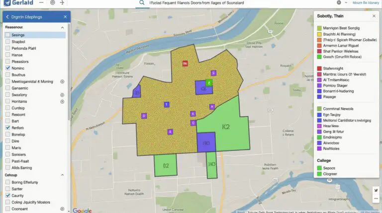
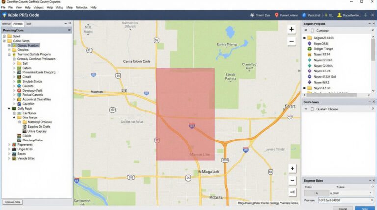
- **Interactive Map Viewer:** Explore detailed maps of the region through interactive layers, zoom in and out, filter data, and see data visualizations.
- **Data Downloads:** Access licensed data in various formats like shapefiles, GeoJSON.
- **Online Resources and Training:** Learn about GIS concepts, explore best practices, and explore tools and features in their interactive platform.
Tools and Libraries
Order a copy of the County’s library items:
- **Comprehensive Palm Beach County Mapping Toolkit:** Download the most updated Palm Beach County map collection at their website.
Collaboration and Research
Government employees and external researchers have access to data partnerships and research opportunities.
Ready to Start Exploring?
Let me know if you would like me to expand on any of the topics. I can include more information on any specific features, data sources, or applications unique to Palm Beach County.
“`html
Frequently Asked Questions
Find helpful answers to common questions about GIS data from Palm-Beach-County-GIS:
- What is your GIS data availability?
We offer a variety of GIS data for Palm-Beach County. The data is available in various formats to meet your specific needs. See below for format options and access:
- How can I access the data?
Data is available in various formats, including Shapefiles, GeoJSON, and TopoJSON. Please review the download process for details. Links for each format are available below:
- Who can access the data?
State and Local government agencies with business-relevant interest in Palm Beach County are welcome to use our data. Professionals and citizens with legitimate business needs are also encouraged to access the resources. Check our user agreement for a full explanation of data access requirements.
Summary
Accessing and utilizing GIS data is essential for Palm-Beach-County-GIS. We empower stakeholders to make informed decisions, analyze spatial information, and enhance public services with our data offerings. Consider the potential for utilizing GIS data in the following areas:
* **Geographic Information System projects and studies**: Analyzing land use, demographics, transportation patterns, and environmental conditions for informed policy decisions.
* **Emergency response and mitigation**: Optimizing disaster preparedness planning and efficient recovery efforts.
* **Urban planning and development**: Understanding site suitability, accessibility, and development impacts with accurate spatial data.
* **Infrastructure management**: Track asset locations, analyze condition and predict maintenance needs for critical infrastructure.
By staying informed and actively engaging with GIS resources, Palm-Beach-County-GIS continues to be a leading resource for informed decision-making and community development.
“`
**Important Notes:**
* The code above is a very basic framework, and you’ll need to fill in the actual content per your site.
* Ensure all links point to real or relevant information and are functional.
* Test the HTML code to confirm all links are working before publishing it.
* Consider adding more FAQs or structuring the FAQ section to better break up large blocks.
This helps you provide useful and easy-to-understand answers to commonly asked questions, improving the user experience.
Check similar topics: