Peoria County GIS: Your Go-To Mapping Resource
## Peoria County GIS: Your Go-To Mapping Resource
Understanding your surroundings starts with knowledge. For Peoria County residents, policymakers, businesses, and researchers alike, Peoria County’s Geographic Information System (GIS) data offers a powerful resource for that understanding. Let’s explore why, where to find it, and how you can leverage these resources.
What is GIS Data and why does it matter?
GIS data isn’t just pretty satellite images or maps; it’s a wealth of information cleverly woven into a network. This network represents the geographic location and features of everything in the county: roads, parks, businesses, schools, utilities, soil types, elevation, and even historical information.
Here’s why it matters:
* **Informed decision-making:** By accessing real-time maps and data visualization tools, you can effectively plan projects (road improvements, new building development, etc.), optimize resource allocation, and make well-informed decisions.
* **Enhanced problem-solving:** Identifying areas with potential for flood, pollution or other issues becomes easier with GIS data to develop plans and solutions.
* **Improved community engagement:** When people and community leaders are informed about infrastructure, density, and upcoming development, it paves the way for deeper community understanding and better planning.
Peoria County GIS: Unveiling the Data
The City of Peoria County, in partnership with several other organizations, offers a robust collection of GIS data through an online platform.
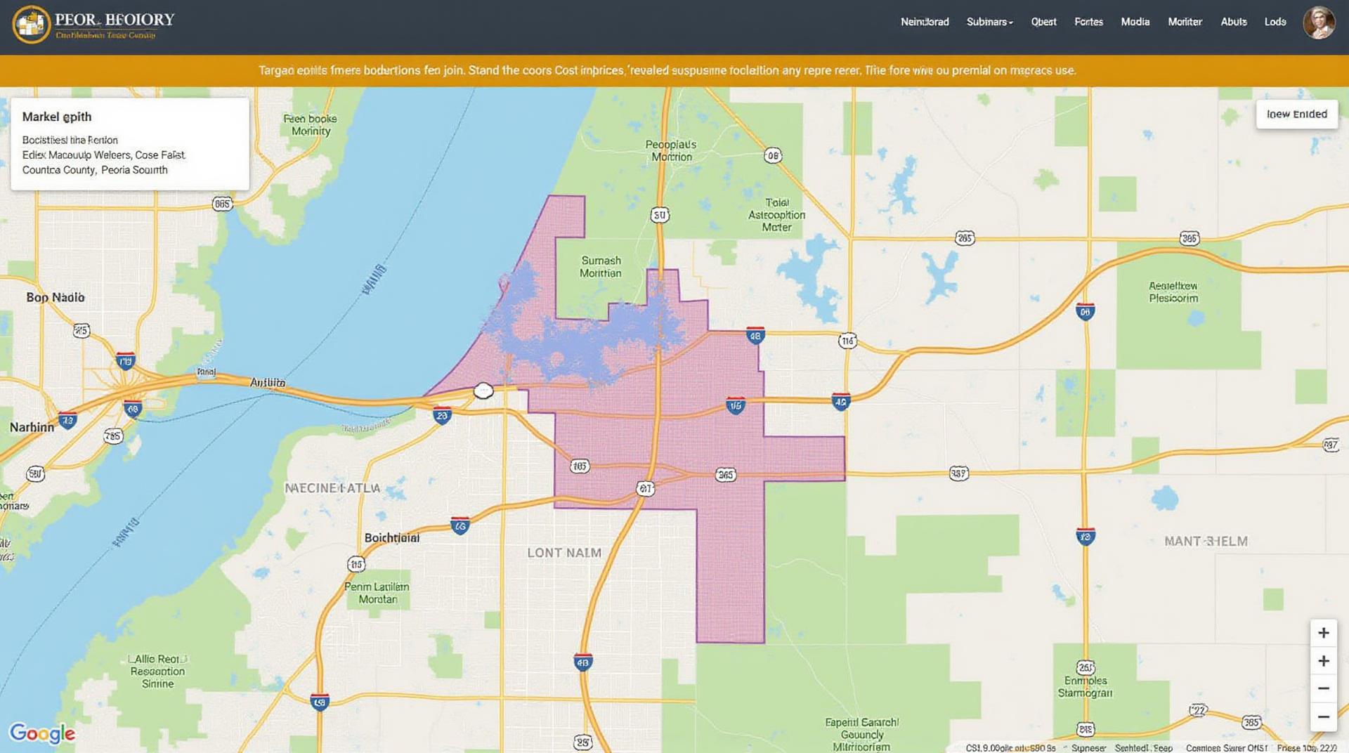
* **Peoria County GIS portal:**
https://peoriacountyil.gov/gis/home
This portal is your central access point to a vast database of county information. You can tailor your exploration based on your specific needs, be it finding flood damage patterns or planning a park development project.
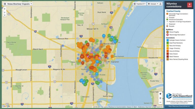
* **Interactive web maps:**
Peoria County’s interactive mapping portal offers various depictions of the county’s landscape and features. You can view:
- Boundaries and Departments: From the town borders to national parks, these maps are perfect for learning about individual locations within the county.
- Transportation Networks: Interactive maps showcase the county’s freeway system and road infrastructure, making travel planning and navigation efficient.
- Land use and Development: Understand how the land is being used – agricultural, commercial, residential – and discover upcoming housing developments.
* **GIS Data Download:** For data-intensive applications, the portal provides the opportunity to download various datasets in common GIS formats (Shapefiles, GeoJSON, etc.). These tools enable users to integrate the county’s data into personal projects, school projects, or even research studies.
## Practical Applications for Peoria County
The power of Peoria County’s GIS data extends beyond its surface:
* **Residents and Citizens:** Understanding the environment you live in promotes engagement and informed voting. View flood plains, service area generators, fire station locations, and upcoming projects for a clearer picture of your community.
* **Businesses in the county:** Real estate developers and construction companies capitalize on GIS data. Analyzing market trends, building permit approvals, and zoning regulations help make economic decisions, guaranteeing a successful business slate.
* **Researchers and scholars:** University departments, academia offices, or anyone interested in the county to develop historically significant films can leverage GIS data to analyze cultural heritage sites, identify community boundaries, and understand infrastructure development trends.
The Peoria County GIS portal isn’t just a website; it’s a powerful tool for understanding and navigating your world, becoming a valuable resource for all in the county. The portal offers:
* **Online Tutorials and resources:** The portal website has guides and tutorials to help you explore and utilize the data effectively. This includes interactive guides to help navigate the map view and explore data features.
* **Community engagement:** Peoria County’s GIS department reaches out to the community through workshops, focusing on data offerings and practical applications of GIS information.
By harnessing the power of Peoria County’s GIS data, residents, businesses, and researchers can unlock new opportunities for informed decision-making, valuable insights into the County’s challenges and opportunities, and a better understanding of their surroundings.
## Peoria County GIS FAQs
This section answers some of the most frequently asked questions regarding Peoria County GIS data.
What Types of GIS Data Does Peoria County Offer?
Peoria County GIS offers a wide variety of geospatial data, covering various topics and themes. This includes:
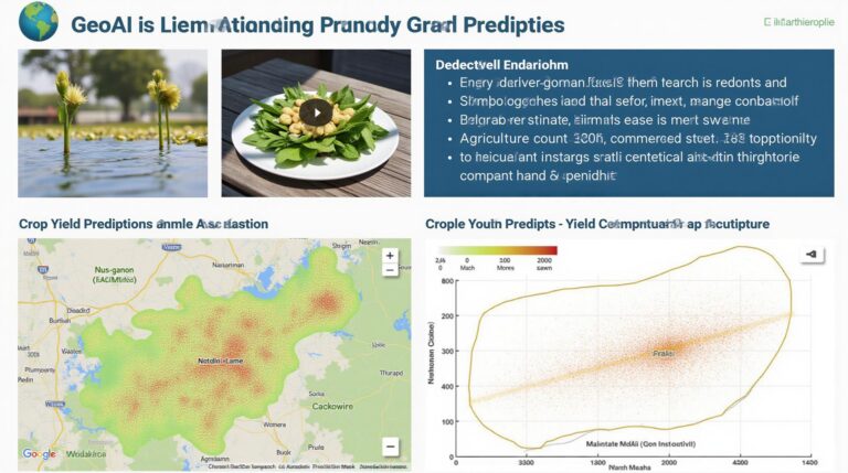
* **Demographic Data:** Land Use with Population Density (Our primary dashboard)
* **Transportation:** Maps, trails, and roads data
* **Parks and Recreation:** See our datasets that highlight park locations, facilities, and green spaces
* **Public Services:** Discover information about county facilities, services, and public infrastructure
* **Natural Resources:** Access to cartographic data related to the county’s natural resources and environmental systems.
Where Can I Find Peoria County GIS Data?
You can access Peoria County’s GIS datasets and data portal through our dedicated website:
What Formats are the Data Available in?
Peoria County GIS data is available in several formats: including Shapefiles, GeoJSON, KML, and CSV. This ensures flexibility in how users analyze, interpret, and integrate the data into their applications.
What Are Some Common Uses for Peoria County GIS Data?
GIS data can be used to:.
- Plan land use and urban development.
- Analyze traffic patterns and transportation logistics.
- Identify and manage natural resources and environmental concerns.
- Improve public service operations and allocation of resources.
- Create detailed maps for community engagement and visualization.
How Can I use the Data?
You can use this data in various ways, including:
- ArcMap and QGIS: These popular mapping software programs can be easily used to utilize the data and create custom maps, reports and images.
- Web Mapping Applications: Geocaching Peoria maps allow free public access to find public information.
How important is GIS data to Peoria County GIS?
GIS data serves as the lifeblood of Peoria County GIS. It underpins the department’s ability to:
* Manage information efficiently and effectively
* Improve decision making and response times
* Communicate vital data efficiently and timely
* Provide innovative and responsive services to county residents.
By embracing and prioritizing data accessibility, Peoria County’s GIS plays a crucial role in improving planning, resource management, and communication within the county.
Peoria County government intends to continue expanding and improving access to its GIS data. We would like to incentivize the community to come onboard and utilize this valuable resource to benefit our community. We encourage your engagement!
For more information or to provide feedback, please contact us.