Predictive Modeling with GeoAI – Spatial Forecasting
Predictive Modeling with GeoAI – Spatial Forecasting
What is GeoAI?
GeoAI, or Geospatial Artificial Intelligence, encompasses the application of AI algorithms and techniques to information housed within geographic context. By fusing traditional GIS (geographic Information System) environments with cutting-edge algorithms and data processing pipelines, GeoAI unlocks a wealth of opportunity that was previously unimaginable. Think of it as marrying the power of data analysis with the intricacies of spatial relationships.
Benefits of GeoAI for Predictive Modeling
GeoAI opens a door to powerful insights by weaving spatial context into complex data models, allowing us to:
* **Predictive Prediction:** Identify patterns and trends across space. This includes forecasting various phenomena such as traffic flows, resource consumption, and disease outbreaks.
* **Enhanced Accuracy:** Integrate multiple layers of geographic data with relevant features to enrich data analysis and improve the accuracy of outcomes.
* **Optimized Decision-Making:** GeoAI facilitates data-driven, spatially informed decision-making for complex problems across industries.
* **Superior Insights:** Understand complex spatial relationships using machine learning algorithms.
A Look at Practical Applications of GeoAI
The potential of GeoAI shines brightly across many industries. Below are a few practical examples:
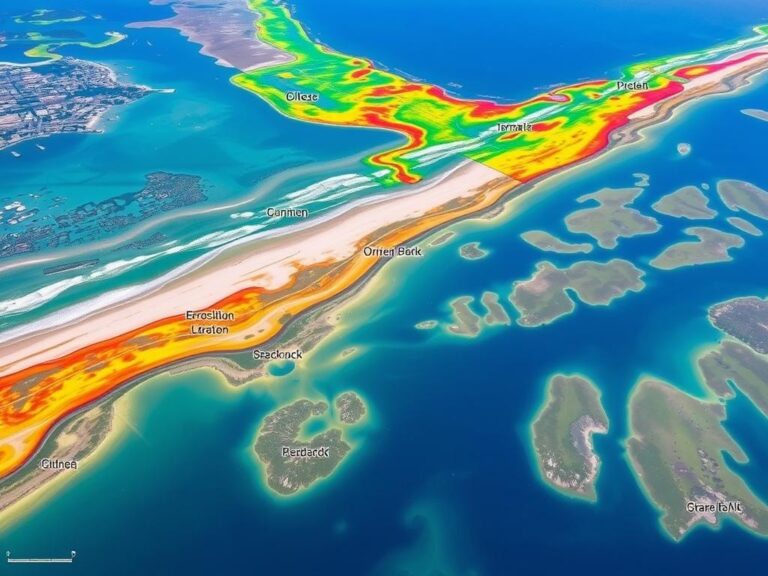
* **Urban Planning:** Predicting areas at risk for flooding, optimizing the placement of public amenities, analyzing pedestrian traffic patterns.
* **Disaster Relief Management:** Rapidly mapping disaster zones to guide effective response efforts. Pinpointing potential risks and assessing damage reconstruction needs.
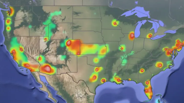
* **Healthcare:** Forecasting disease outbreaks, identifying areas with high morbidity and prioritizing public health interventions.
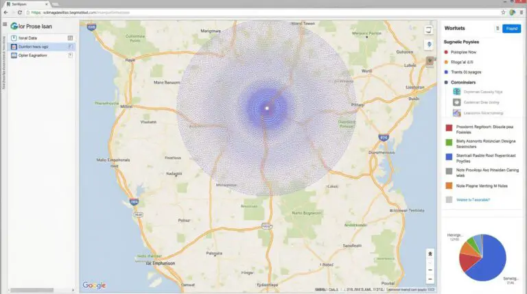
* **Transportation:** Optimizing traffic flow, predicting congestion, and identifying optimal routes for deliveries or public transportation systems.
* **Environmental Management:** Monitoring deforestation, tracking pollution spread, and analyzing climate change impacts.
Getting Started: Tools and Resources
Ready to dive into the thrilling world of GeoAI? Don’t worry, a plethora of resources and tools are available to get you started. Here are some helpful starting points:
* **Open Source Libraries:** Python libraries such as geopandas, shapely, and rasterio offer data manipulation and analysis within a Geographic information system.
* **Cloud Platforms:** Platforms like Amazon SageMaker and Google Cloud Platform provide managed environments for leveraging GeoAI capabilities, usually with access to existing datasets.
* **Specialized GeoAI Software:** Specific tools like Esri ArcGIS, QGIS, and Mapbox offer integrated software solutions with pre-built components designed to handle various GeoAI tasks.
Always Be Learning
GeoAI is a rapidly expanding field, with new tools, techniques, and applications constantly emerging. Stay updated on the latest advancements in areas like:
* **Deep Learning in Spatial Analysis:** Utilizing deep learning algorithms to analyze complex spatial information.
* **Remote Sensing:** Harnessing satellite and drone data to project spatial data into dynamic models.
* **Natural Language Processing (NLP):** Utilizing NLP’s capabilities for geospatial data annotation and semantic understanding of textual data connected to spatial information.
GeoAI is a powerful revolution in how we understand the world. By adopting its tools and embracing its potential, we can harness its power for the betterment of society. kilometrer
## Predictive Modeling with GeoAI Spatial Forecasting: FAQs
This FAQ section provides answers to common questions about predictive modeling with geographic information systems (GIS) and geoAI: spatial forecasting.
### Q: What is Predictive Modeling with GeoAI Spatial Forecasting?
**A:** Predictive modeling with GeoAI spatial forecasting is a powerful method that uses Geographic Information Systems (GIS) and AI algorithms to analyze spatial patterns and predict future events. It encompasses several concepts:
* **Geographic Information Systems (GIS):** Analyzing locations and utilizing spatial data for insights.
* **Artificial Intelligence (AI):** Applying machine learning algorithms to predict future trends based on data.
* **Spatial Forecasting:** Predicting outcomes and events on a spatial scale; such as population density changes over a city, crime likelihood by neighborhood, or potential locations for future housing development.
### Q: How Does it Help Me?
**A:** GeoAI spatial forecasting offers numerous benefits:
* **Improved Decision Making:** You can make more informed decisions for resource allocation, efficient resource deployment, risk management, and more.
* **Trend Prediction & Pattern recognition:** Discover hidden relationships and long-term trends in your space data, pinpointing potential opportunities and risks.
* **Risk Management & Mitigation:** Prioritize areas needing attention, advise on disaster preparedness, and optimize resource allocation for emergency response.
* **Efficient Planning and Policy Design:** Predict urban development patterns, map potential infrastructure needs, and optimize urban design for better sustainability.
### Q: What Formats Are Supported and Where Can I Find it?
**A:**
We offer our predictive modeling services and comprehensive analysis with various formats:
* [**Google Earth Engine:**](https://earthengine.google.com/) – Interactive geospatial platform for powerful analytical advancements.
* [**ArcGIS Online:**](https://www.arcgis.com/home/webmaps) – Online GIS platform with the ability to perform our services.
### Q: What are the Minimum Requirements?
**A:**
* **Access to Spatial Data:** We need your spatial datasets for analysis, including geographical data, urban modeling data, climate data, etc.
* **Defined Problem Analogy and Prediction Options:** To streamline our predictions, you need to clearly outline the specific question you want to answer, the date range, and desired outcome features.
### Q: Why Choose [Your Or Our Company Name]?
**A:**
[Your Company name or your provider’s company name]: powerful geoAI skills to unlock insights and support your specific forecasting and prediction needs.
### Conclusion
Predictive modeling with GeoAI spatial forecasting is becoming an increasingly valuable tool across diverse fields and sectors. By leveraging AI and GIS technologies, it allows you to understand complex spatial patterns, identifies factors driving fluctuations and predict trends, which ultimately leads to cost-effective intelligent decisions based on reliable data insights.
Learn more about our services .
This approach empowers organizations to make informed decisions and proactively tackle opportunities and challenges within their spatial environment to drive future success.