Sampson County GIS: Mapping the Region
Sampson County GIS: Mapping the Region
Sampson County, North Carolina is a vibrant region with rich natural features, diverse industries, and a passionate community. But understanding its specific landscape, resources, and potential requires looking at it through a geographically informed lens. This is where Sampson County’s GIS system comes in – offering valuable insights and data that help understand the complexities of the region.
What is GIS?
GIS stands for Geographic Information System. It’s a toolbox for capturing, storing, analyzing, managing, and displaying data related to a geographic location. It helps us identify patterns, relationships, and trends that might not be apparent in purely numerical data.
Benefits of Accessing GIS Data
GIS offers diverse benefits for residents, businesses, and organizations. Here are some examples:
- Improved Emergency Management:** Accurate and up-to-date maps of infrastructure, potential hazards, and disaster response routes help efficiently prepare for crises and mitigate damage during emergencies.
- Smart Infrastructure Planning:** Zoning, land use, and infrastructure projects can leverage GIS to optimize resource allocation, reduce environmental impact, and ensure the effective design of roads, water systems, and public service networks.
- Enhanced Economic Development:** Analyzing market potential, identifying optimal locations for businesses, supporting industrial park development, and assessing existing infrastructure based on spatial analysis are simplified through GIS.
- Appreciating Natural Assets:** Understanding vegetation patterns, water systems, soil types, land elevations, and natural resources can guide sustainable land management practices.
- Improved Access to Services:** Property owners, businesses, and residents can utilize GIS to achieve access to relevant services like zoning information, utility connections, and emergency service locations.
Key Features of Sampson County’s GIS
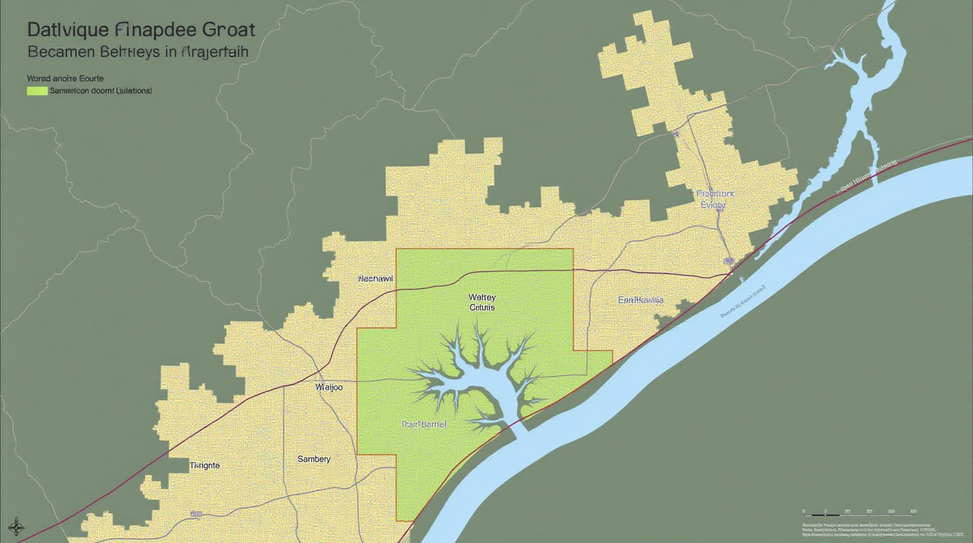
Sampson County’s GIS system provides a comprehensive dataset covering everything from the county’s physical boundaries and infrastructure to important socioeconomic features like population distribution, land use, and demographics.
Some key features include:
- Base mapping:** High-resolution orthoimagery and digital elevation models allow residents and businesses to visualize the overall terrain of the county.
- Land Use/Land Cover:** Detailed data on residential, commercial, industrial, agricultural, and natural ecosystems help organizations plan for sustainable land use and identify areas for conservation.
- Tax Parcels:** GIS allows individuals and organizations to easily identify and manage areas of property tax and related information.
Where to Find Sampson County GIS Data
Here’s what you need to know about accessing this data:
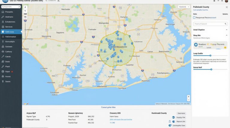
- Sampson County GIS Website:** The county’s official website likely contains a dedicated section for GIS mapping and data access.
- North Carolina GIS Portal:** A comprehensive portal maintained by the state government can offer free access to a diverse range of North Carolina data, including Sampson County maps.
- Online Data Platforms:** Numerous commercially offered data platforms, such as ArcGIS Online, Esri.com, and QGIS, often have active links to Sampson County datasets within their library.
- ArcGIS Services:** Sampson County might also be working with private businesses and platforms that host commercial GIS services for which you can pay.
Open-Source Options
For researchers and students with a smaller budget, open-source options like QGIS can be a valuable resource for accessing and analyzing geographic information in Sampson County.
Ultimately, choosing the optimal resource for accessing the specific GIS data you need will depend on your region’s specific needs and budget.
Conclusion
Sampson County’s GIS system is a powerful tool for understanding land, resources, and human engagement within the region. It offers valuable insights that promote informed decision-making, careful planning, and a greater understanding of Sampson’s unique landscape.
## Sampson County GIS Frequently Asked Questions
This section provides answers to common questions about the GIS data available for Sampson County.
What GIS data is available?
Sampson County GIS offers a variety of data formats, including:
* **Digital Orthophotos:** High-resolution aerial photographs with geometric corrections for accurate mapping. Download ortho photo data
* **Shapefiles:** Vector data format used for geographical features like roads, buildings, rivers, and parcels. Access Shapefile Data download
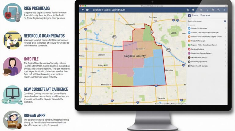
* **Maps (Static and Dynamic):** Static and interactive web maps, featuring detailed property maps, public facilities maps, and historic maps. Explore our maps
What are the file formats for available data?
The following file formats are typically used for our data:
* Shapefiles (SHP) are commonly used for vector layers.
* GeoJSON (geojson) is a popular format for sharing geospatial features and data.
* TIFF files are used for image data like aerial photos.
* KML & GeoRSS offer a data exchange format for web mapping applications.
How can I use the available GIS data?
The GIS data can be used in various ways, including:
* **Mapping and Analysis:** Track the location and density of different features within Sampson County.
* **Research:** Understand demographic, environmental, and infrastructure data for better planning and decision-making.
* **Education:** Present visually compelling maps and data visualizations for public presentations and learning opportunities.
* **Business and Industry:** Use targeted data for parcel analysis, zoning, and facility location decisions.
Are there data tools I can utilize with the GIS data?
Yes, we provide online platform, a desktop GIS suite like ArcGIS for processing data, and mobile applications for accessibility on-the-go. Learn more about ArcGIS
Does Sampson County GIS have any data sharing partnerships?
We actively collaborate with other organizations, and within budgetary considerations, provide data for mutually beneficial projects and initiatives. Contact us for partnerships opportunities or permissions.
Conclusion
Our GIS data serves as a vital resource for Sampson County, enabling informed decision-making across multiple sectors. This dynamic and interactive collection empowers local communities, businesses, and researchers to navigate the complexities of the County. By utilizing these tools effectively, we can learn about our environment, improve services, and promote economic growth.
Remember to check the terms of use and legal restrictions regarding the specific data you download. They should be readily available on our platform