Sarasota County GIS: Coastal Mapping Tools
Sarasota County GIS: Coastal Mapping Tools
Discover the power of geographic information systems (GIS) to understand and interact with the diverse and dynamic coastal landscape of Sarasota County.
Why GIS Matters for Coastal Sarasota
Coastal mapping holds immense value for residents, businesses, and researchers in Sarasota County. Let’s explore how GIS tools empower understanding in various valuable ways:
- Understanding Coastal Hazards: GIS helps identify and monitor coastal risks such as erosion, sea level rise, and storm surge, allowing for better risk management, budget allocation, and preparedness.
- Infrastructure Planning: GIS enables effective planning and design for infrastructure projects on the coast, taking into account factors like sea level, wave dynamics, and environmental sensitivity.
- Natural Resource Management: GIS aids in conservation efforts through data-driven analysis of coastal habitats, marine life, and environmental changes.
- Economic Development: Mapping coastal attractions, demographics, and transportation links helps attract businesses, tourists, and investors, maximizing development potential.
Exploring Sarasota County GIS Data
Sarasota County actively provides access to actionable GIS data through its dedicated resources. This enables citizens to visualize and understand environmental data, access crucial information and participate in decision-making processes:
- County Website Portal: The official ArcGIS Online platform offers a consolidated portal for county resources. Visit https://gis.sarasotacountyspeaks.com/ to explore interactive maps, data layers, and insights.
- Coral Reef Reef Monitoring: Discover the trending status of Sarasota’s reefs via the Sarasota Bay Estuary Program’s (SBEP) interactive ReefWatch platform. Explore https://reefwatch.org/ to learn about active monitoring status, data, and project updates
- Flood Plain Maps & Information: Understand flood-prone areas within Sarasota and plan accordingly. This is a critical resource for residents, especially as sea levels rise. . Check out https://www.sarasotacountygov.com/environ/gismaps/index.stad.shtml
Using GIS Resources: A Glimpse into Actionable Maps & Services
Whether you’re delving into coastal erosion, monitoring trends in marine life, or planning for urban development, Sarasota County GIS offers tools and resources to analyze your data and create informed goals:
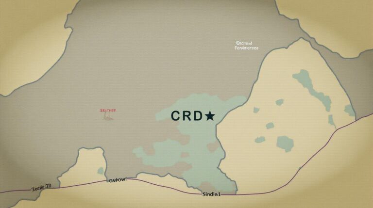
- Interactive Coastal Maps: Explore high-resolution mapping layers that reveal shoreline morphology, waterways, beach erosion data, and more. This allows users to “drill-down” to specific areas for in-depth analysis.
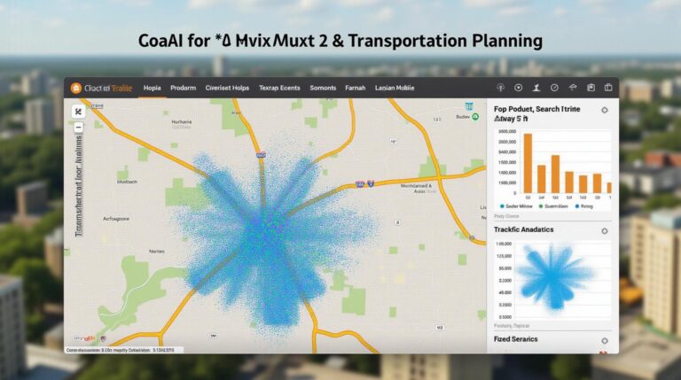
- Spatial Query & Analysis Tools: Menu-based tools allow research and mapping users to overlay various data layers, enabling precise analysis of specific geographical contexts and answering urgent questions.
- Data Downloads and Public Datasets: Download data in common formats such as GeoJSON, CSV, and shapefiles. These datasets empower external research and projects, enhancing the scope and analysis of findings
Let’s Connect!
Stay informed about local environmental data, coastal planning updates, and new GIS resources:
- Visit the official website: https://gis.sarasotacountyspeaks.com/
- Connect with the County’s GIS department: [Link to County Contacts]
By making use of GIS data, the community can transform its relationship with the region’s coastal lifestyle and future.
“`html
Frequently Asked Questions (FAQs)
What types of data are available through Sarasota-County-GIS?
We provide a wide range of geospatial data that covers various areas like land use, zoning, parks, and infrastructure. Check out our data portals for detailed information and access:
How can I access the data?
We offer various formats, including Shapefiles, GeoJSON, and raster images. These are readily available through our Data Portal, allowing you to download data in formats suitable for your specific needs.
What file formats are available?
We provide the data in common and readily compatible formats like Shapefiles, GeoJSON, and imagery in formats like GeoTIFF and JPEG.
What is the best way to use the data?
The accessibility and various file formats allow you to utilize the data appropriately for various purposes. Here are some examples:
- Planning and development: Ideal for analyzing land use, property boundaries, zoning, and infrastructure planning.
- Natural resource management: Useful for monitoring environmental impacts, assessing land cover change, and managing natural resources like wildlife habitats and water bodies.
- Community outreach: Assists in creating geospatial maps for citizen engagement and community development initiatives, showcasing community resources, parks, and public facilities.
- Emergency response: Supported in crisis situations by providing the location data needed for responders and first responders.
Why is GIS data important for Sarasota-County-GIS?
GIS data plays a vital role in Sarasota-County-GIS by allowing us to:
- Optimizes efficiency and decision-making: It enables informed decision-making across various departments by giving them better access to critical information.
- Improves resource management: Enables better management of resources like water, land, and infrastructure, enhancing effectiveness.
- Enhances public engagement: Allows for more accessible and interactive citizen engagement with public spaces, amenities, and planning projects.
- Contributes to a data-driven city: Serves as the foundation for developing and improving our city through strategic analysis and spatial planning.
Actionable Insights & Recommendations
* Explore custom data requests. Contact the GIS team to discuss specific data sets for your team or mission.
* Engage with our Citizens in GIS efforts. Plenty of datasets highlight the city’s public spaces and amenities for community use!
* Contribute to the digital landscape, helping shape our community’s vision through your GIS knowledge.
“`
This concise FAQ structure uses clear, helpful language, addresses common concerns while offering actionable examples.
Remember to implement these pieces within the HTML tags!
Check similar topics: