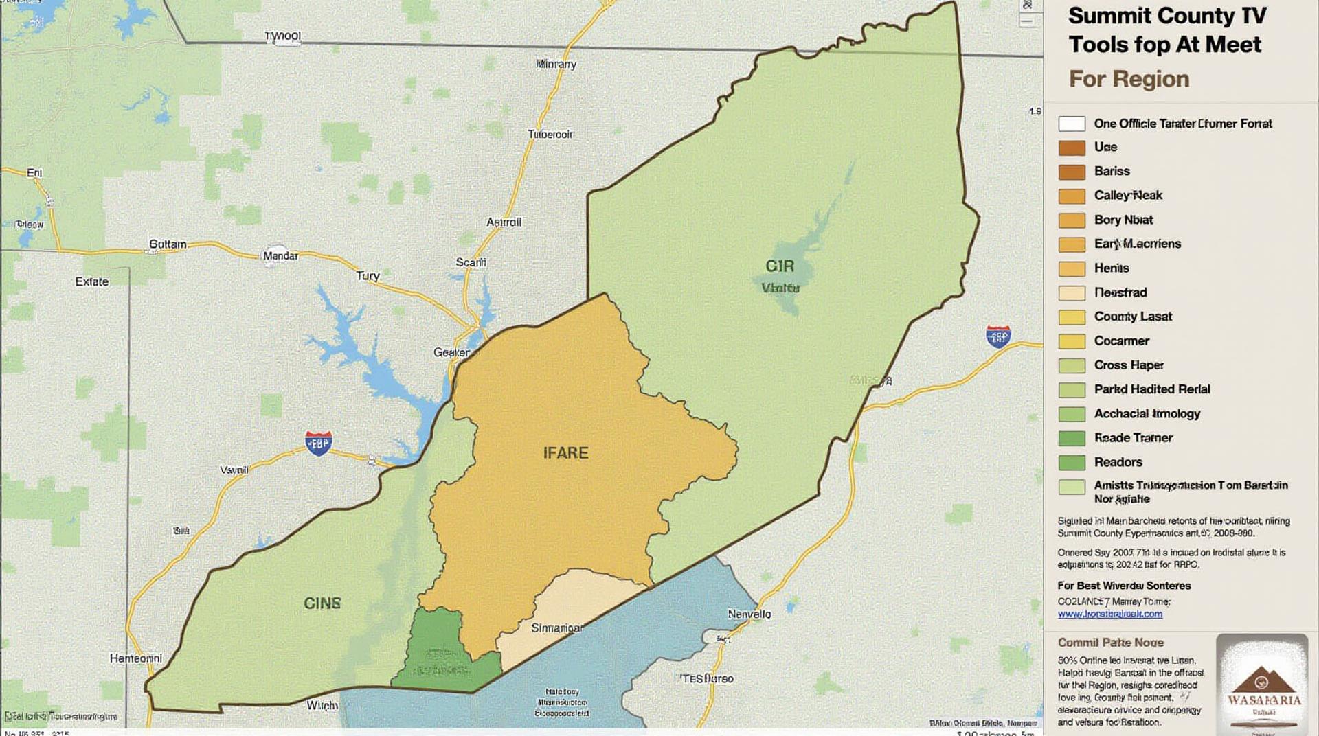
Summit County GIS: Tools for the Region
Summit County GIS: Tools for the Region
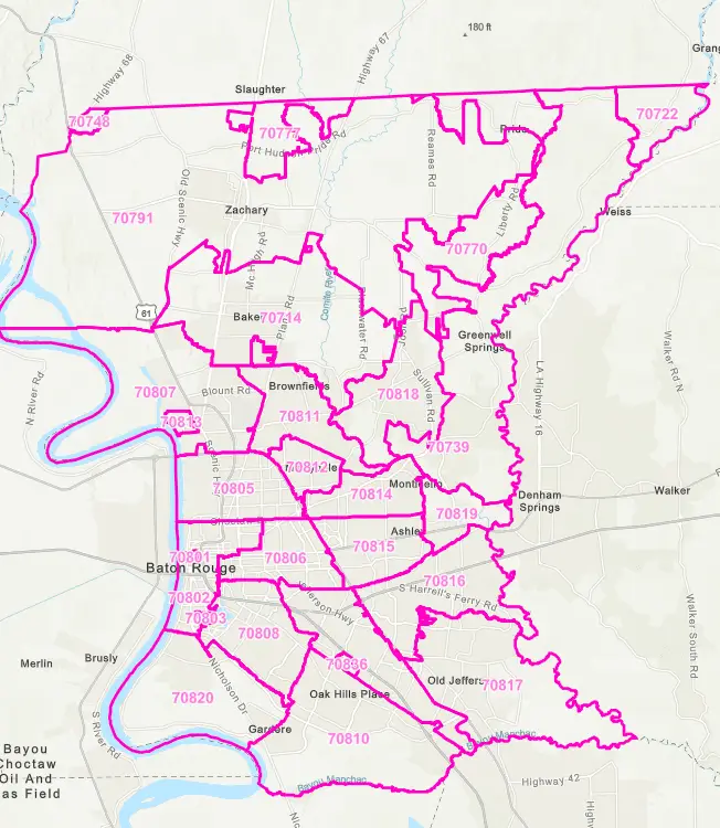
Navigating the unique landscape of Summit County has always been a challenge for residents, businesses, and researchers alike. But thanks to the powerful tools of Geographic Information Systems (GIS), accessing this information has become easier than ever. This post explores the vast resources available for Summit County GIS data, revealing how residents, businesses, and researchers can benefit from this innovative technology.
What is GIS?
GIS (Geographic Information Systems) is a revolutionary software collection that focuses on capturing, managing, analyzing, and sharing geographically relevant information. Imagine a virtual map that provides insights into any aspect of a region—from population density and traffic patterns to environmental factors and historical events. That’s the power of GIS.
Summit County GIS Resources
Data Compiling Agencies:
Summit County is fortunate to have several distinct organizations dedicated to maintaining and sharing crucial geographical data for residents and businesses.
- Summit County Website: https://www.summitcounty.org/
- Summit County GIS Hub: https://gis.summitcounty.org/
- State of Colorado GIS Portal: https://maps.colorado.gov/
Data Platforms and Tools:
These platforms offer a powerful combination of data and user-friendly interfaces for exploring the information:
- OpenStreetMaps: https://www.openstreetmap.org/
- ArcGIS Online: https://www.esri.com/en-us/arcgis/
- Google Earth Engine
- Bureau of Land Management: https://www.blm.gov/
Benefits and Applications
There’s a wealth of benefits accessible through Summit County GIS data and tools:
- Informed Decisions & Planning: Municipalities, businesses, and residents can utilize GIS data to make smarter and more informed decisions regarding land use, transportation, zoning, economic development, and resource allocation.
- Enhanced Communication and Collaboration: GIS data facilitates transparent information sharing between community members, policymakers, and resource providers, fostering stronger collaboration for collective action on issues impacting the region.
- Efficient Emergency Response: With detailed mapping of infrastructure and public service locations, GIS empowers emergency management responders to quickly assess risks and deploy resources in response to emergencies.
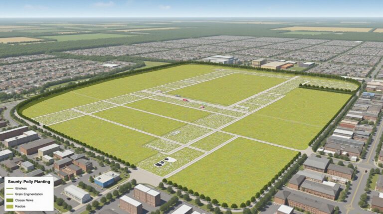
- Environmental Protection and Monitoring: GIS plays a crucial role in monitoring the environment, predicting flooding, analyzing disease outbreaks, and understanding changes in land cover biodiversity.
Getting Started with Summit County GIS
Ready to explore Summit County GIS data? Here’s a step-by-step guide:
- Locate Relevant Data: Research the data sources listed above and familiarize yourself with the available datasets (e.g., property maps, flood maps, traffic patterns, temperature data).
- Use GIS Platforms: Explore platforms like OpenStreetMap, ArcGIS Online, or Google Earth Engine. Begin exploring publicly available maps and datasets.
- Accessorize your Analysis: Analyze data using tools like mapping, spatial analysis, and filtering. Understand how to geocentre, generate graphs, and create interactive maps to generate actionable insights.
Summit County GIS provides an invaluable resource for residents, business owners, and researchers seeking to navigate this dynamic region. By harnessing the power of geospatial tools and data, we unlock deeper understanding of our environment, catalyze effective decision-making, and amplify collaboration for a sustainable future.
Frequently Asked Questions
Welcome to Summit-County-GIS! You can find answers to many of your questions below.
- What GIS data does Summit-County-GIS provide?
Summit-County-GIS provides a variety of spatial data, including maps, aerial photography, parcels, and tax maps, pertaining to Summit County, Ohio.
- How can I obtain GIS data?
- What formats are available?
We offer a variety of data formats: shapefiles, GeoJSON, CSV, and TIFF.
- How do I use Summit-County-GIS GIS data?
This information and select data is available on our website and even through our mobile app.
- What are the criteria for obtaining access to your data?
Contact us for more information.
Here’s why GIS data is crucial for Summit-County-GIS:
- Effective land-use Planning:** GIS is a powerful tool for understanding land use patterns, facilitating informed decision making related to zoning, conservation, and development.
- Improved Public Safety:** GIS allows for comprehensive analysis to improve emergency response times, better allocate resources, and monitor public safety incidents.
- Economic Development:** Spatial data on infrastructure, industry, and demographics are essential for promoting economic development and business opportunities.
By utilizing GIS technology, Summit-County-GIS can make a meaningful impact in addressing some of today’s most pressing challenges and make data readily available.
Check similar topics: