Groundwater Mapping Using GIS

Groundwater Mapping Using GIS

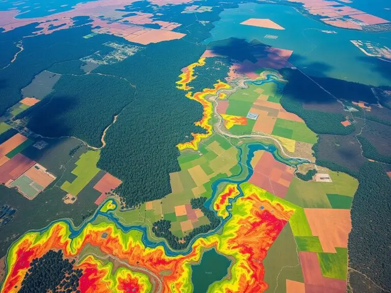
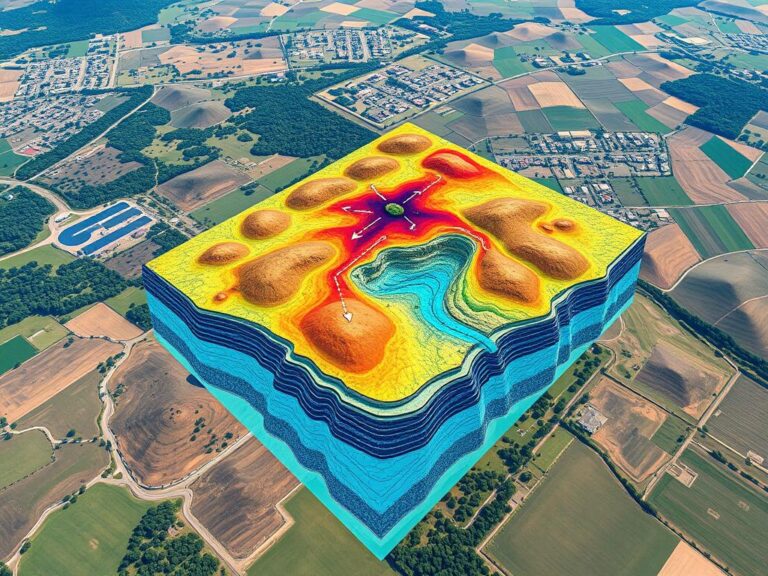
Groundwater is crucial for communities, farms, and industries all over the world. Yet, managing and saving this resource is hard, especially in areas with little water or complex underground systems. Luckily, Geographic Information Systems (GIS) have changed how we map groundwater, making it easier to manage water. GIS combines and analyzes data like underground layers,…

Mapping Socio-Economic Inequality

Mapping Socio-Economic Inequality

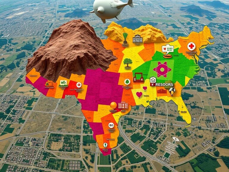
Socio-economic inequality is a big problem that affects communities all over the world. This article looks at how Geographic Information Systems (GIS) help map and show these differences. By using geospatial data and analysis, experts and leaders can better understand what causes inequality. This helps them create more effective solutions. Inequality shows up in many…

Multispectral vs Hyperspectral Imagery
|

Comparing Multispectral and Hyperspectral Imagery in GIS

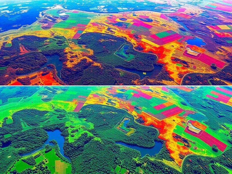
In the world of geographic information systems (GIS), using remote sensing is key. Two main imaging types, multispectral and hyperspectral, are getting a lot of attention. They help us understand things like how crops grow and how cities are planned. This article will look at what makes these imaging types different, their benefits, and their…

GIS and Green Infrastructure

Enhancing Urban Areas with GIS and Green Infrastructure

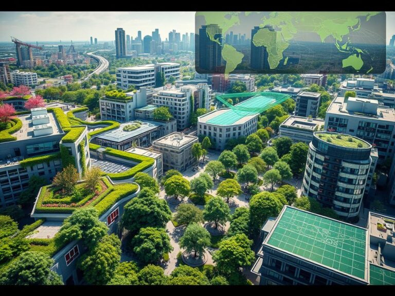
As cities grow, planners and policymakers seek new ways to make them sustainable. Geographic Information Systems (GIS) and green infrastructure are key tools in this effort. This article shows how these tools work together to make cities better places to live. GIS uses data to help planners understand their cities. It shows everything from land…

GIS for Climate Change Analysis

Understanding GIS for Climate Change Impacts

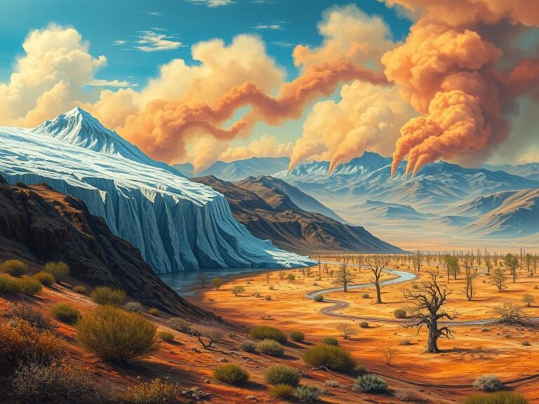
The world is facing big challenges from climate change. We need good data to understand and fight these issues. Geographic Information Systems (GIS) are key in this fight. They help us track and analyze environmental data. GIS lets us see and understand complex data. This helps scientists, policymakers, and communities tackle climate change. They can…

GIS in Wildlife Habitat Mapping
|

Mapping Wildlife Habitats with GIS

Environmental challenges are growing, and so is the need to protect wildlife habitats. Geographic Information Systems (GIS) technology is key in this effort. It helps us understand, analyze, and manage habitats better than ever before. GIS is a powerful tool for mapping and monitoring wildlife habitats. It uses data from satellites, planes, and field surveys….

GIS and Archaeological Site Mapping

Preserving History with GIS in Archaeology

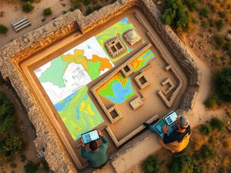
Geographic Information Systems (GIS) has changed the game in archaeology. It helps keep our cultural heritage safe. This tech makes site mapping, data analysis, and documenting historical sites better. It lets archaeologists find out more about the past with great accuracy and speed. GIS gives archaeologists a new way to study ancient civilizations. They can…

Climate Vulnerability Mapping

Climate Vulnerability Mapping: Assessing and Addressing Risks

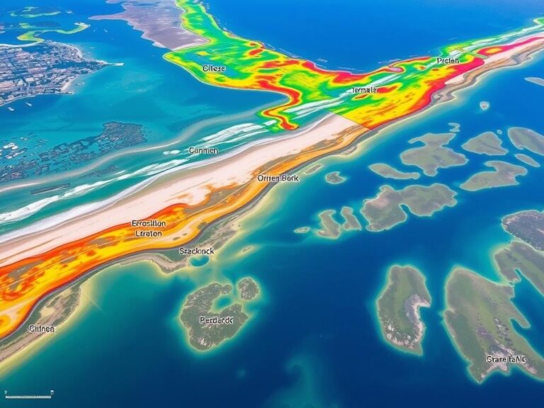
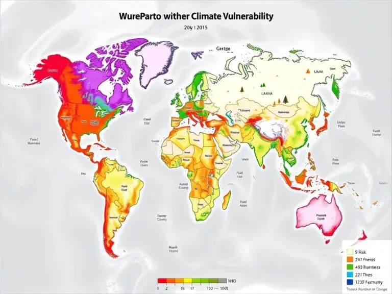
The world is facing a big challenge with climate change. It poses risks to communities everywhere. To tackle these risks, climate vulnerability mapping is key. It uses Geographic Information Systems (GIS) technology to understand and address environmental threats. Climate vulnerability mapping uses GIS and remote sensing data. It finds areas most at risk from climate…