GIS for Solid Waste Management

GIS for Solid Waste Management

In the world of urban planning and city operations, Geographic Information Systems (GIS) play a key role. They help make solid waste management more efficient and sustainable. Cities face big challenges in waste collection, disposal, and analysis. GIS technology is a powerful tool to help solve these problems. GIS offers a detailed, data-based way to…

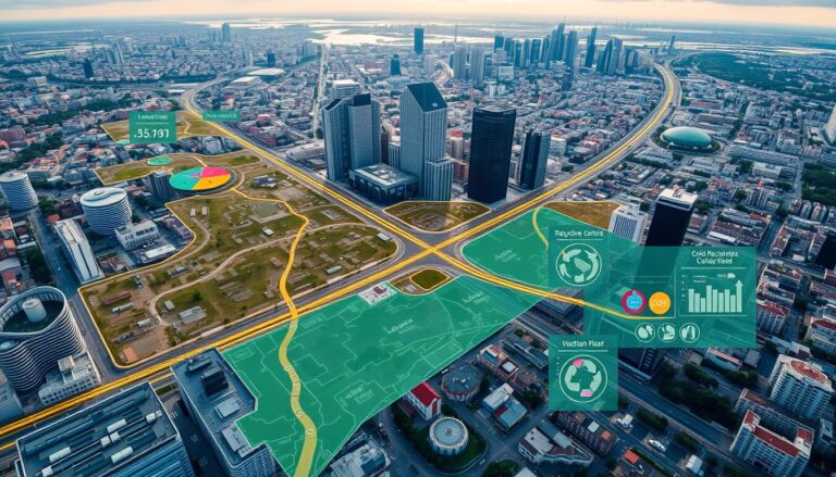
Mapping Socio-Economic Inequality

Mapping Socio-Economic Inequality

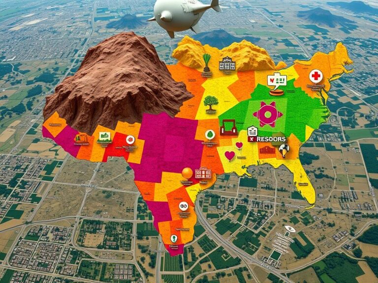
Socio-economic inequality is a big problem that affects communities all over the world. This article looks at how Geographic Information Systems (GIS) help map and show these differences. By using geospatial data and analysis, experts and leaders can better understand what causes inequality. This helps them create more effective solutions. Inequality shows up in many…

GIS and Green Infrastructure

Enhancing Urban Areas with GIS and Green Infrastructure

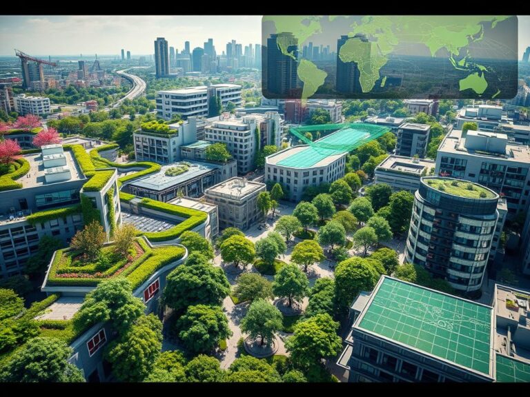
As cities grow, planners and policymakers seek new ways to make them sustainable. Geographic Information Systems (GIS) and green infrastructure are key tools in this effort. This article shows how these tools work together to make cities better places to live. GIS uses data to help planners understand their cities. It shows everything from land…

Climate Vulnerability Mapping

Climate Vulnerability Mapping: Assessing and Addressing Risks

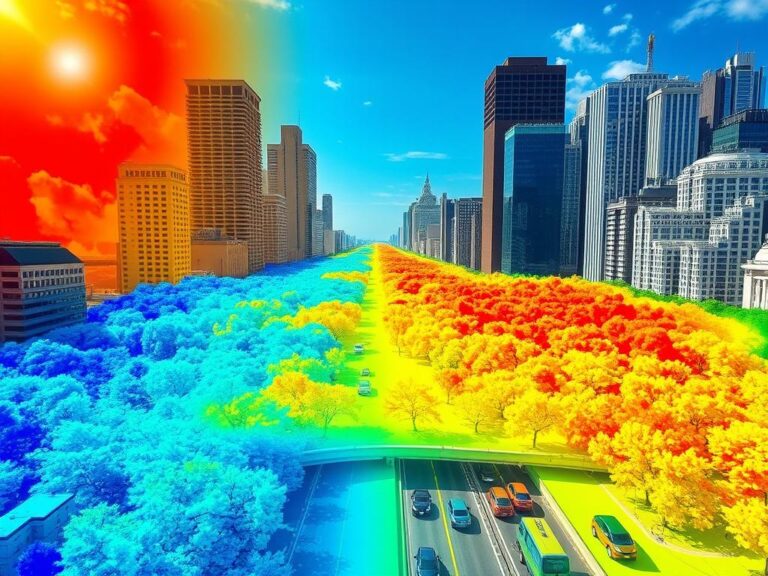
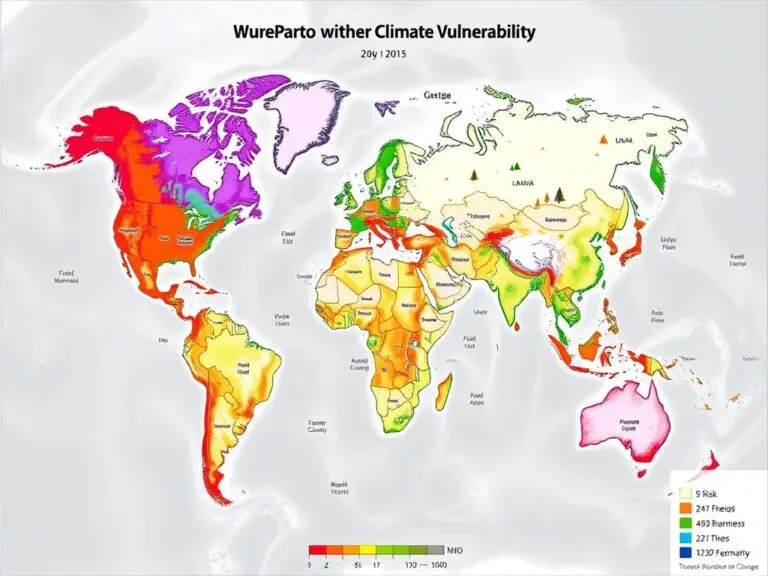
The world is facing a big challenge with climate change. It poses risks to communities everywhere. To tackle these risks, climate vulnerability mapping is key. It uses Geographic Information Systems (GIS) technology to understand and address environmental threats. Climate vulnerability mapping uses GIS and remote sensing data. It finds areas most at risk from climate…