GIS for Cultural Heritage Preservation

Exploring GIS for Cultural Heritage Preservation

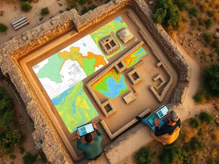
In today’s fast-changing world, saving our cultural heritage is key. We must use new methods to document and protect historic sites, artifacts, and traditions. Geographic Information Systems (GIS) is a leading tool in this effort. GIS combines spatial data and analysis to help us manage and preserve cultural assets. It maps heritage sites, showing us…

GIS and Archaeological Site Mapping

Preserving History with GIS in Archaeology

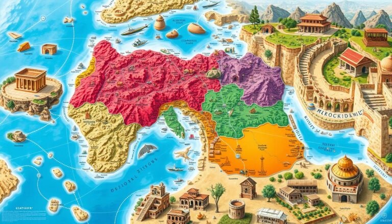
Geographic Information Systems (GIS) has changed the game in archaeology. It helps keep our cultural heritage safe. This tech makes site mapping, data analysis, and documenting historical sites better. It lets archaeologists find out more about the past with great accuracy and speed. GIS gives archaeologists a new way to study ancient civilizations. They can…