GIS and Agricultural Productivity

Boosting Agricultural Productivity with GIS

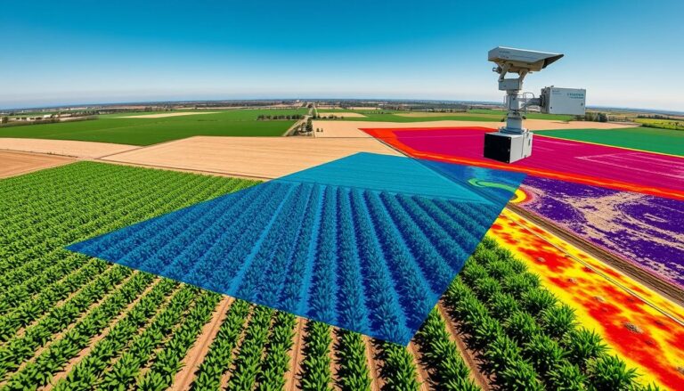
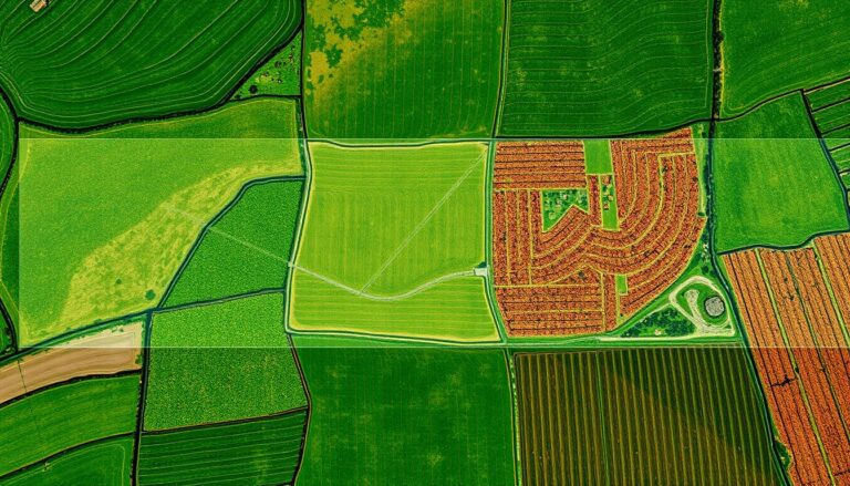
In today’s agriculture, Geographic Information Systems (GIS) is a big change. It helps make farming more productive and green. GIS mixes data with tools for analysis, changing how we manage crops and use resources. GIS lets farmers and experts use data to make better choices. They can use resources better and grow more crops. It’s…

Remote Sensing for Crop Disease Monitoring

Remote Sensing for Crop Disease Monitoring

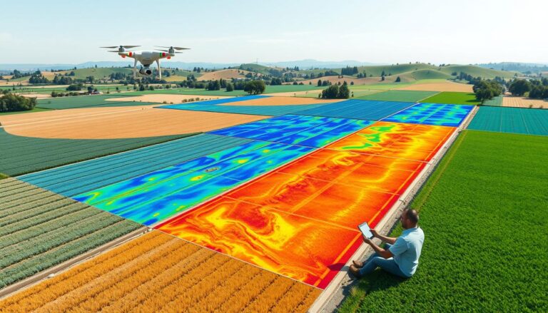
In today’s agriculture, keeping crops healthy is key. Remote sensing is a game-changer. It uses satellite images, aerial photos, and drones to spot diseases early. This helps prevent big losses in yield and profit. Remote sensing is now a must-have for farmers and researchers. It gives detailed, up-to-date info on crop health and the environment….