Multispectral vs Hyperspectral Imagery
|

Comparing Multispectral and Hyperspectral Imagery in GIS

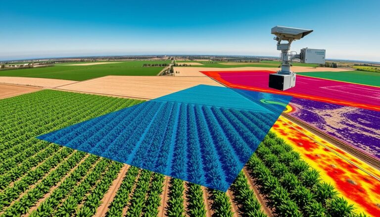
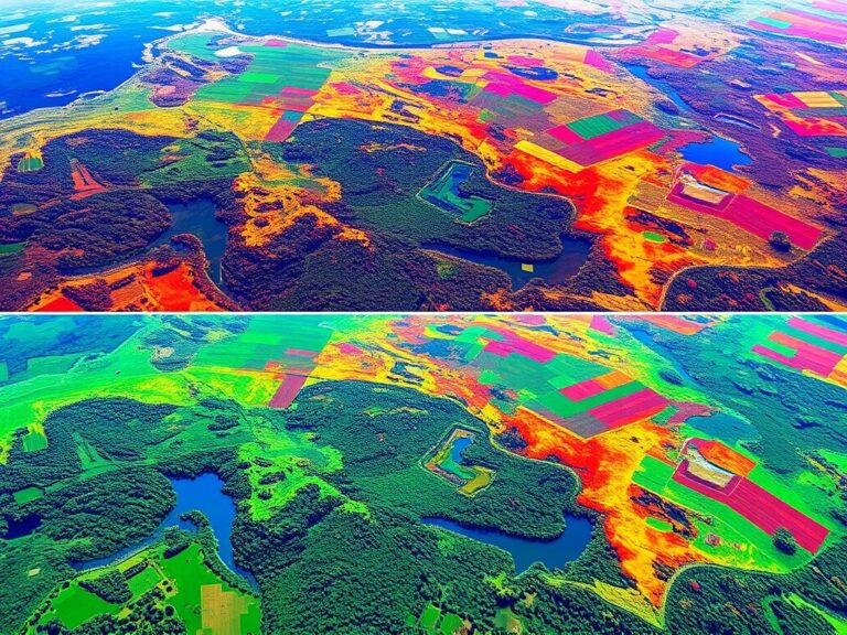
In the world of geographic information systems (GIS), using remote sensing is key. Two main imaging types, multispectral and hyperspectral, are getting a lot of attention. They help us understand things like how crops grow and how cities are planned. This article will look at what makes these imaging types different, their benefits, and their…

Geospatial Modeling
|

Geospatial Modeling and Mapping

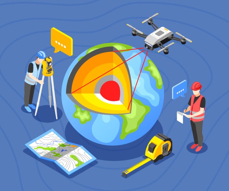
Introduction to geospatial mapping In today’s fast-changing digital world, geospatial modeling and mapping are key. This article will dive into the latest in GIS, remote sensing, and 3D visualization. It aims to help professionals in many fields use spatial data to change things for the better. This article will show you how to work with…