GIS for Solid Waste Management

GIS for Solid Waste Management

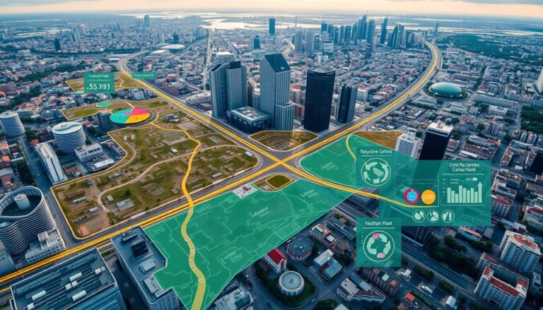
In the world of urban planning and city operations, Geographic Information Systems (GIS) play a key role. They help make solid waste management more efficient and sustainable. Cities face big challenges in waste collection, disposal, and analysis. GIS technology is a powerful tool to help solve these problems. GIS offers a detailed, data-based way to…

GIS and Machine Learning for Spatial Predictions

Integrating GIS and Machine Learning for Predictions

In today’s world, combining Geographic Information Systems (GIS) and Machine Learning (ML) is key. This mix uses GIS’s data management and ML’s pattern recognition. It helps organizations make better decisions by unlocking new insights. Spatial data is central to GIS. It includes everything from demographics to environmental trends. By using GIS and ML together, we…

GIS for Cultural Heritage Preservation

Exploring GIS for Cultural Heritage Preservation

In today’s fast-changing world, saving our cultural heritage is key. We must use new methods to document and protect historic sites, artifacts, and traditions. Geographic Information Systems (GIS) is a leading tool in this effort. GIS combines spatial data and analysis to help us manage and preserve cultural assets. It maps heritage sites, showing us…

Groundwater Mapping Using GIS

Groundwater Mapping Using GIS

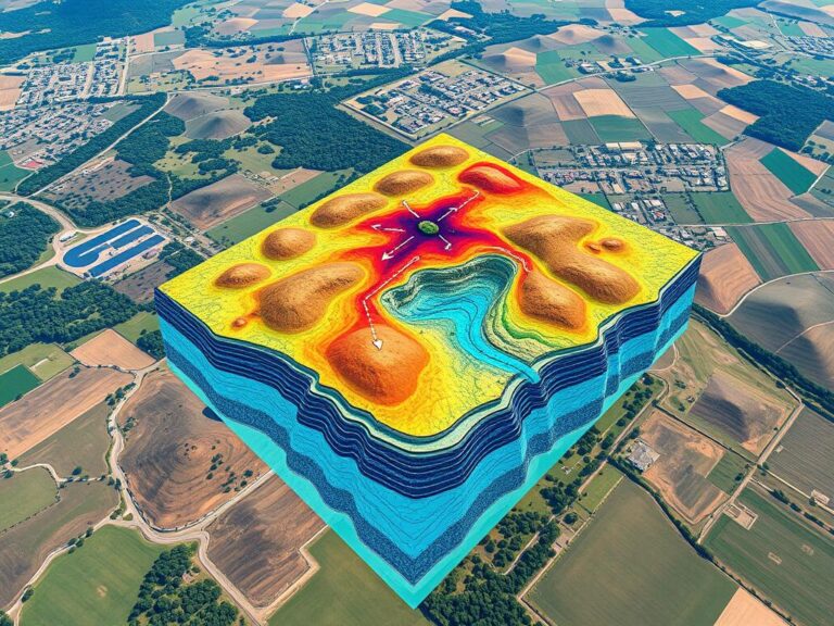
Groundwater is crucial for communities, farms, and industries all over the world. Yet, managing and saving this resource is hard, especially in areas with little water or complex underground systems. Luckily, Geographic Information Systems (GIS) have changed how we map groundwater, making it easier to manage water. GIS combines and analyzes data like underground layers,…

GIS for Climate Change Analysis

Understanding GIS for Climate Change Impacts

The world is facing big challenges from climate change. We need good data to understand and fight these issues. Geographic Information Systems (GIS) are key in this fight. They help us track and analyze environmental data. GIS lets us see and understand complex data. This helps scientists, policymakers, and communities tackle climate change. They can…