US Counties Shapefile and US States shapefile
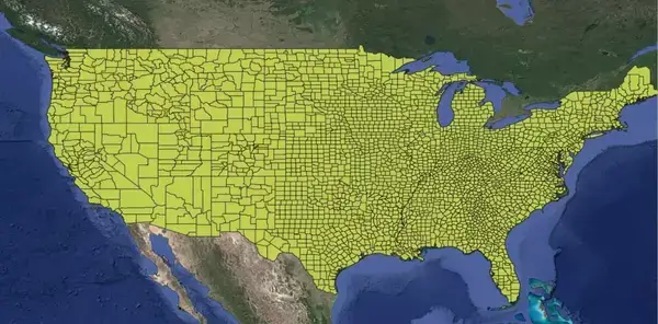
For GIS professionals, researchers, and data analysts, a US counties shapefile and States shapefile is an essential tool for spatial analysis and geographic studies across the United States. This shapefile format provides detailed information about each county, including geographic codes and names, making it highly useful for mapping, demographic studies, and regional planning.
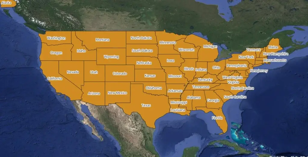
Shapefile Contents
The US counties shapefile includes key fields:
- STATEFP: FIPS code for the state
- COUNTYFP: FIPS code for the county
- COUNTYNS: Unique identifier for the county
- STATE_NAME: Full state name
- LSAD: Legal/Statistical Area Description
- ALAND: Land area in square meters
- AWATER: Water area in square meters
How to Use the Shapefile
This data is compatible with GIS tools such as QGIS and ArcGIS, allowing users to create maps, analyze spatial trends, and integrate additional data layers.
Download US counties shapefile and states shapefiles
Other Sources
- US Census Bureau: Offers updated shapefiles for US counties, often available for free.
- DIVA-GIS: A resource for downloading country-level GIS data, including US counties.
- DataHub.io: Provides downloadable shapefiles in multiple formats.
With this shapefile, GIS users can access extensive geographic and demographic information on each US county, supporting projects from basic mapping to complex data analysis.


One Comment