Using GIS for Environmental Impact Assessment
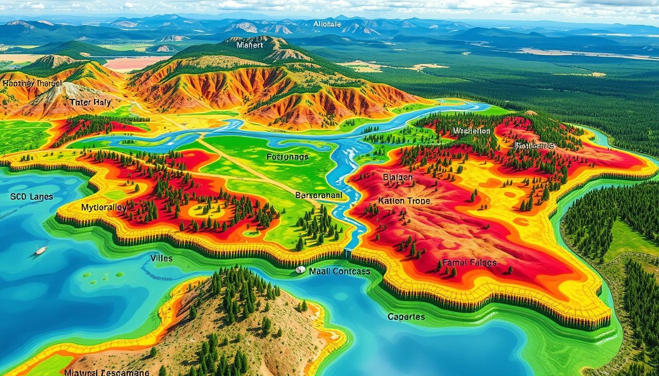
Geographic Information Systems (GIS) have changed the way we do Environmental Impact Assessments (EIA). GIS tools help us understand the environmental effects of projects. They make it easier for experts to tackle big environmental problems.
GIS is great at handling spatial data. This includes things like land use and environmental resources. It helps us see how projects might affect the environment. This way, we can make better choices for the future.
GIS has made environmental management better. It gives experts a lot of useful data. This makes their work more accurate and efficient. GIS is now a key tool for making smart, green decisions.
Key Takeaways
- GIS provides a robust platform for capturing, analyzing, and visualizing spatial data crucial for Environmental Impact Assessments.
- The integration of GIS in EIA processes enhances the accuracy and efficiency of environmental assessments, leading to more informed and sustainable development decisions.
- GIS-based spatial analysis empowers decision-makers to identify and mitigate potential environmental risks associated with development projects.
- The widespread adoption of GIS in EIA has ushered in a new era of data-driven environmental management, benefiting policymakers, urban planners, and environmental stakeholders.
- The strategic integration of GIS and EIA has become an indispensable tool for navigating complex environmental challenges and promoting sustainable development.
Introduction to GIS and Environmental Impact Assessment
In the world of environmental sustainability, Geographic Information Systems (GIS) technology is key. It helps us capture, store, analyze, and display spatial data. This technology has changed how we understand and tackle environmental impacts, leading to better decision-making.
Definition of GIS
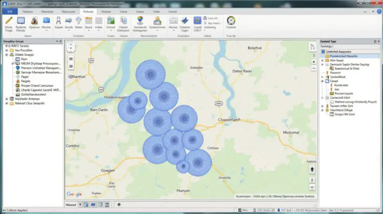
GIS is a computer system that combines data from sources like satellite images and on-the-ground surveys. It creates a detailed and changing picture of our world. This lets us see, change, and study complex geographic information, helping us grasp environmental connections better.
Importance of Environmental Impact Assessment
Environmental Impact Assessment (EIA) is vital for sustainable development. It looks at the environmental effects of human actions. EIA helps us choose options that protect the environment and ensure long-term sustainability.
Role of GIS in Environmental Processes
GIS technology is crucial for environmental impact assessment. It helps us analyze and show spatial data better. With GIS technology, we can understand environmental systems, spot potential impacts, and plan for sustainable solutions.
| Benefit | Description |
|---|---|
| Improved Data Visualization | GIS makes detailed maps and visual data, helping us see patterns and issues. |
| Enhanced Spatial Analysis | GIS tools help find links between environmental factors like land use and pollution. |
| Informed Decision-Making | GIS data in EIA helps make choices that balance growth and environmental protection. |
“GIS is not just a tool, but a strategic approach to understanding and managing our environment.”
The Basics of Geographic Information Systems
Geographic Information Systems (GIS) change how we see and interact with our world. They use key parts to gather, store, analyze, and show spatial data. These parts are hardware, software, data, people, and processes. Each is vital for using GIS to assess environmental impacts.
Components of GIS
The hardware of GIS includes devices for capturing and processing geographic info. This includes computers, servers, GPS, scanners, and more. The software part has programs for managing and analyzing the data.
The data is the heart of GIS, made up of geographic datasets like satellite images and maps. These are collected through remote sensing, GPS, and field surveys. Together, they are called spatial data collection methods.
People are key to GIS, from analysts to environmental experts. They use their skills to make the most of GIS for environmental studies.
How GIS Functions
GIS captures, stores, and analyzes geographic info. It starts with collecting data, using various methods. Then, it organizes and stores the data in a database.
GIS’s strength is in its complex analyses. It turns raw data into useful insights. GIS software lets users combine data, model spaces, and create visuals for better decision-making.
Data Collection Methods
- Remote Sensing: Uses satellite or aerial images to get detailed Earth surface info, like land cover and topography.
- GPS: Provides exact location data, helping in mapping and tracking environmental conditions.
- Field Surveys: On-site investigations add to remote sensing and GPS data, giving a full view of the environment.
GIS combines these methods to help environmental experts make informed choices. They can then develop strategies to lessen human impact on nature.
Benefits of Using GIS in Environmental Impact Assessment
Geographic Information Systems (GIS) are key in environmental impact assessment. They use spatial data and analysis to help. This makes the assessment process smoother and improves decision-making.
Enhanced Data Visualization
GIS is great for showing data in a clear way. It combines different types of spatial data. This includes topography, land use, and environmental factors.
This makes it easier to understand the study area. It shows how different factors might affect the environment.
Improved Decision-Making
GIS helps decision-makers make better choices. It uses geospatial data and tools for analysis. This lets them look at different scenarios and find the best solutions.
This way, environmental concerns are included in planning. It leads to more informed and responsible decisions.
Streamlined Analysis Processes
GIS makes analysis faster and easier. It automates data collection and analysis. This saves time and resources.
This means assessments can be done quicker. It allows for more updates and changes as needed.
| GIS Benefits | Impact on Environmental Impact Assessment |
|---|---|
| Enhanced Data Visualization | Comprehensive understanding of spatial relationships and potential impacts |
| Improved Decision-Making | Informed and responsible decision-making process |
| Streamlined Analysis Processes | Faster turnaround times and adaptability to evolving project requirements |
GIS makes environmental impact assessments better. It helps them be done more efficiently and effectively. GIS is a vital tool for understanding and reducing environmental impacts.
Case Studies: GIS in Action
Geographical Information Systems (GIS) are key in environmental impact assessment. They are used in many areas, like urban planning and hazard assessments. GIS helps solve complex environmental challenges.
Urban Development Projects
In urban planning, GIS changes how cities are built. It combines GIS data with urban plans. This helps planners see the environmental effects of projects.
By doing this, urban planning focuses more on environmental risks and sustainability.
Land Use Planning
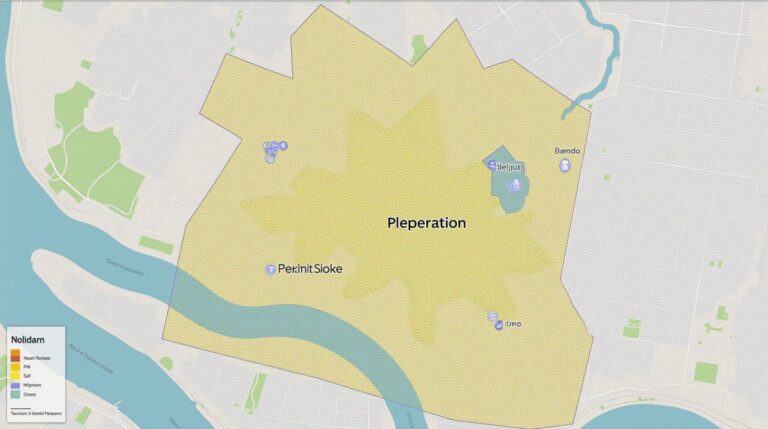
GIS is vital in land use management. It maps and analyzes land use. This helps planners balance economic growth and environmental conservation.
GIS finds the best ways to use land. It reduces harm to nature while meeting community needs.
Hazard Assessments
GIS is key in hazard assessments. It uses data like topography and weather to find hazards. This helps plan for emergencies.
GIS helps understand and prepare for environmental risks. It’s crucial for making smart decisions and planning for emergencies.
GIS is very useful in environmental impact assessment. It’s important for managing our resources and keeping communities safe.
Challenges of Implementing GIS in Assessments
Geographic Information Systems (GIS) can greatly improve environmental impact assessments. Yet, there are many challenges to overcome when using GIS. These include data quality, availability, and the need for technical skills.
Data Quality and Availability
Ensuring the quality and availability of spatial data is a big challenge. Bad or old data can make analysis unreliable. This can lead to poor decisions. It’s crucial for organizations to spend time and resources on verifying their GIS data.
Technical Expertise Requirements
Using GIS for environmental assessments needs a certain level of technical skills. People must know GIS software, data management, and spatial analysis. Finding and keeping skilled staff can be hard, especially for those with limited resources.
Integration with Other Tools
GIS must work well with other tools and data sources. This integration can be tricky. Organizations need to make sure GIS systems can share information with other tools smoothly.
To overcome these GIS challenges, a strategic plan is needed. Focus on data management, skill development, and teamwork. By doing this, organizations can make the most of GIS in environmental assessments. This leads to better decisions and outcomes for the environment.
Legal and Regulatory Framework for GIS Applications
Geographic Information Systems (GIS) are becoming more important in environmental impact assessments. It’s key to know the laws and rules that guide these uses. Environmental regulations are crucial in how GIS is used and integrated into assessments.
Key Environmental Regulations
Understanding the legal framework is vital for following rules and implementing policies well. Laws like the National Environmental Policy Act (NEPA) in the U.S. require looking at environmental effects for projects. GIS helps gather, analyze, and show data needed to follow these rules.
Compliance with Local and Federal Laws
It’s important to make sure GIS follows local and federal laws. GIS experts need to keep up with new laws and updates. This makes sure assessments follow the law and are trustworthy and clear.
| Regulation | Requirement | GIS Application |
|---|---|---|
| National Environmental Policy Act (NEPA) | Evaluate environmental impacts of federal actions | Spatial data analysis, data visualization, impact modeling |
| Clean Air Act | Monitor and regulate air quality | Air pollution mapping, emissions tracking, dispersion modeling |
| Clean Water Act | Protect surface waters and groundwater | Watershed delineation, water quality monitoring, pollution source identification |
Knowing the legal and regulatory framework helps GIS experts make sure their work meets rules. This way, their assessments help make better, informed decisions.
Future Trends in GIS for Environmental Impact Assessment
Geographic information systems (GIS) are getting better, and the future looks bright for environmental impact assessments. New technologies will change how we handle geospatial data. This will lead to smarter and more effective decisions.
Advancements in Technology
The world of GIS is changing fast. We’re seeing better data handling, 3D models, and remote sensing. These updates mean we can do more detailed and accurate environmental checks. We can now see and analyze complex environmental issues better.
Increasing Use of AI and Machine Learning
AI and ML are becoming key in GIS. They help make environmental impact assessments better. These smart tools can process data, find patterns, and predict outcomes. This makes analyzing environmental data faster and more accurate, helping us make better choices.
Collaborative Approaches
GIS in environmental impact assessments will focus more on teamwork. Sharing data and enabling everyone to map together will be key. This way, different groups can work together to tackle environmental problems more effectively.
These new GIS trends, AI, ML, and teamwork, will change how we assess environmental impacts. They promise to lead to more informed and sustainable choices for our planet.
Best Practices for Using GIS in Assessments
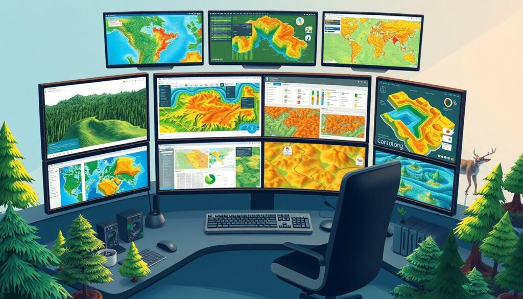
Geographic Information Systems (GIS) play a big role in environmental impact assessments. It’s important to follow best practices for the best results. Focus on data management and engaging stakeholders.
Data Management Strategies
Keeping data quality and consistency is key when using GIS. Good data management means:
- Using strong data collection methods for accuracy
- Having set data formats and storage
- Keeping GIS datasets up to date
- Using version control and backups for important data
Stakeholder Engagement Techniques
Getting stakeholders involved is crucial for GIS-based environmental assessments. Good ways to engage stakeholders include:
- Using GIS mapping tools for decision-making
- Showing data in a clear way to help everyone understand
- Working together and using feedback in assessments
- Hosting workshops and training to teach GIS skills
By following these best practices, organizations can make their environmental impact assessments better. This leads to more informed and sustainable decisions.
| Best Practices | Key Benefits |
|---|---|
| Robust Data Management | Improved data quality, consistency, and reliability |
| Effective Stakeholder Engagement | Enhanced transparency, collaboration, and decision-making |
| Integration with Environmental Assessment Methodologies | Streamlined analysis, increased efficiency, and more informed decisions |
Conclusion: The Future of GIS in Environmental Impact Assessments
Geographic Information Systems (GIS) have changed Environmental Impact Assessments (EIA) a lot. They help people make better, greener choices. GIS is great for showing data, analyzing it, and working together on big environmental problems.
This makes GIS key for keeping our planet healthy. It’s a big step towards a greener future.
Final Thoughts on the Integration of GIS
The future of GIS in EIA looks good. New tech and more people seeing its value will help it grow. Using GIS in EIA makes decisions better, makes work easier, and helps protect our planet and people.
Call to Action for Stakeholders
Looking forward, it’s important for everyone to get on board with GIS. This includes government, green experts, and business leaders. By using GIS, working together, and pushing for it in laws, we can make a better world.

