Warrick County GIS: Tools for the Community
## Warrick County GIS: Tools for the Community
In our increasingly data-driven world, accessing and understanding geographic information becomes crucial for informed decision making. Warrick County, like many other communities, realizes this value and embraces Geographic Information System (GIS) technology as a key tool for development, services, and citizen engagement.
This guide will delve into the world of Warrick County GIS, providing insights on key data, platforms, and resources available to empower residents, businesses, and researchers alike.
A Look into Warrick County GIS
What is GIS? In its simplest form, GIS is a system that utilizes software and technology to capture, analyze, and present information related to specific geographic locations. This data includes everything from road networks and elevation maps to crime statistics and plant health assessments.
Warrick County leverages GIS for a variety of reasons, all of which contribute to effective and efficient operations:
* **Land Management:** Ensuring sustainable land usage by providing insights into zoning regulations, permits, and property boundaries.
* **Public Safety:** Facilitating efficient communication and emergency response by providing access to real-time information on crime hotspots, road closures, or disaster areas.
* **Infrastructure Planning:** Understanding the location and condition of roads, utilities, airports, and other infrastructure, leading to proactive planning and maintenance.
* **Citizen Engagement:** Empowering residents with access to open data allowing them to explore their community, track local issues, and share feedback.
Resources for Accessing Warrick County GIS Data
Warrick County’s commitment to transparency is evident through its accessibility of GIS data.
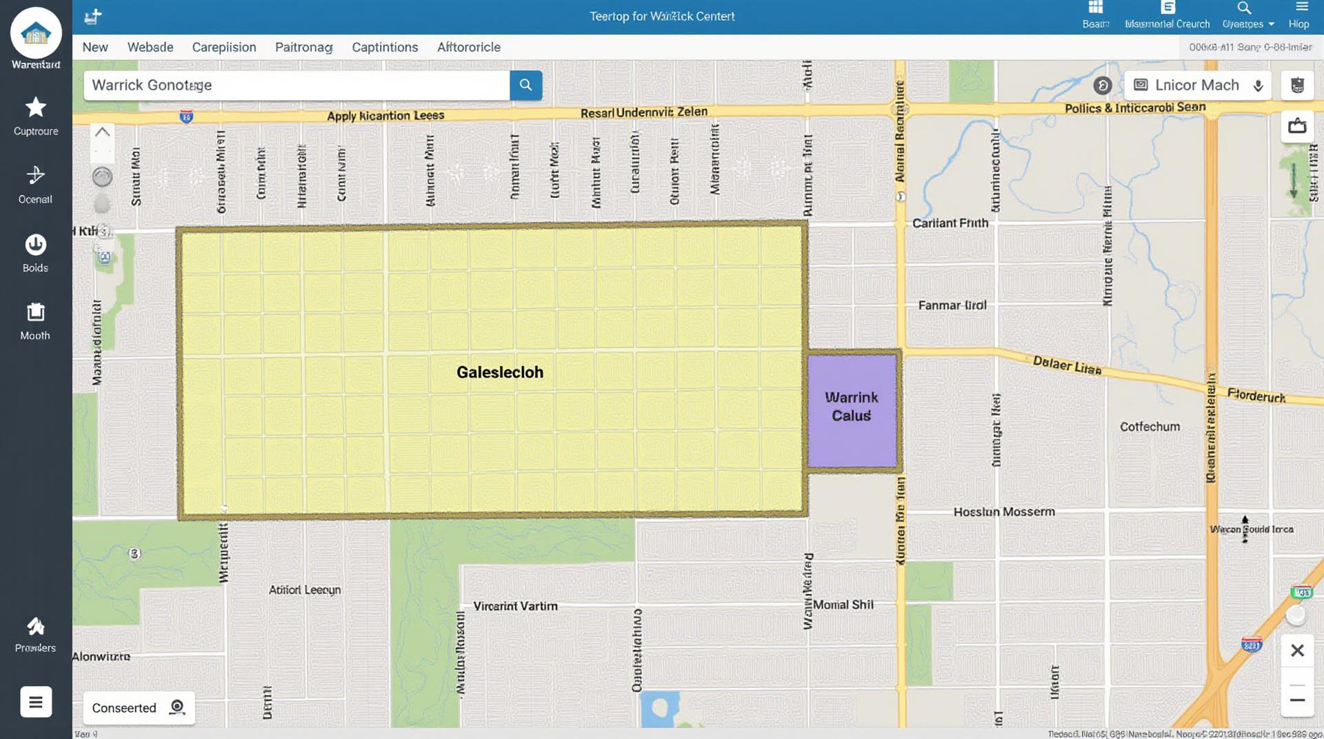
* **Warrick County GIS Website:** The official county website is a treasure trove of information. It hosts interactive maps, data downloads, and a wealth of information about county resources.
* **Indiana Department of Local Government:** Another excellent source for data, the department provides all Indiana counties’ online GIS resources, including Warrick County. You can access data, create reports, and delve into regional trends.
* **ArcGIS Online:** Warrick County utilizes ArcGIS Online, a powerful web-based platform that allows users to access, analyze, and visualize GIS data. This platform can be accessed through the county’s website.
Practical Applications of Warrick County GIS
The variety of data available through Warrick County GIS ensures it’s beneficial for a broad spectrum of users. Here are a few examples:
* **Real Estate Developers:** Analyze land suitability, terrain mapping, and connectivity to create blueprints for property development.
* **Businesses:** Compiling target customer demographics, analyzing geographic data for location optimization, and conducting market research for business growth.
* **Students:** Investigate historical development patterns, analyze property values, or explore local environmental conditions.
* **Citizen Advocacy Groups:** Identify environmental issues, track development projects impacting parks and greenspaces, and mobilize community members on local issues.
Benefits for the Community
As a community, Warrick County benefits significantly from effective GIS applications.
* **Adept Planning:** Understanding the county’s spatial network through GIS allows for efficient budgeting, target resource allocation, and informed planning for future development.
* **Increased Transparency:** Available data makes it easier for citizens to understand the intricacies of local services and policies, fostering greater accountability.
* **Improved Emergency Response:** Pre-determined regions for emergency services and real-time incident locations are supported by GIS, ensuring rapid responses and targeted aid.
Ultimately, Warrick County GIS serves as a powerful tool that promotes civic engagement, economic development, and improved quality of life.
By utilizing these resources and learning to interpret the available data, residents, businesses, and researchers can tap into the rich tapestry of geographic information hidden within the lines on maps and in databases. This translates into personalized and targeted insights, leading to effective and impactful decisions both for individuals and as a community.
Warrick County GIS FAQs
Where can I find GIS data for Warrick County?
We provide a variety of geospatial datasets that can be accessed and utilized for data analysis, planning, and decision-making. You can find the GIS information readily available through the following resources:
- GIS Data Downloads: https://www.warrickgis.com/data
- Public Service Maps: https://www.warrickgis.gov/maps
- Online ArcGIS Portal: https://arcgis.com/home/use/arcmap/index.html
- Contact the Warrick County GIS Team: For specific questions or requests, you can contact the Warrick County GIS Team directly at WarrickGIS@warrickcounty.in.gov
What GIS data formats are available for download?
We offer various file formats for GIS data downloads, including the following:
- SHP: Shapefiles are the most commonly used format for vector data, ideal for spatial analysis and the creation of maps
- XML: Various geospatial data is presented as XML files, leveraging its interoperable nature for wide integration
- GeoJSON: This standardized format commonly used for interoperability simplifies data exchange among different platforms
- PDF: For some data products, we provide Adobe PDF versions that preserve their visual output
Can I access historical GIS data for Warrick County?
Yes! We strive to provide comprehensive and current geospatial information. Although specific datasets on historical mapping and resource analysis might be limited in availability. In some cases, historical data could be found through:
- Contact Learning and Curriculum : You can explore potential data related to the historical context of Warrick County by connecting with the Learning and Curriculum team at Learn@WarrickCounty.in.gov
How can I use GIS data from Warrick County data efficiently?
GIS data offers significant benefits and insights for various initiatives and applications, including:
- City Planning : Analyze and model land use developments, infrastructure development, city planning aspects.
- Landuse Management: Naturally plan data related to land resource management and vegetation analysis.
- Environmental Assessments: Analyze geospatial data to understand hazardous materials and environmental hazards data related to pollution cleanup or city planning aspects.
- Emergency Response: Help in the development of disaster response and resource allocation efforts.
What is the importance of GIS data for Warrick County?
GIS data is invaluable for Warrick County due to its ability to provide a comprehensive understanding of the area’s data and environment. By leveraging GIS data they can:
Simplify complex visual data, providing easy accessibility and understanding of information which can eventually aid data evaluative thinking for decision-making they make in order to foster growth, security, and development.
Ready to Use GIS data?
Learning and Curriculum can assist you in accessing resources. In addition, rest assured that Warrick County takes its GIS data seriously.