Winnebago County, IL GIS: Tools for Exploration
## Winnebago County, IL GIS: Tools for Exploration
Welcome, spatial explorers! Winnebago County, Illinois, is much more than just its bustling cities and sprawling suburbs. It’s a vibrant landscape with hidden stories waiting to be discovered. And what’s a better tool to unlock those stories than Geographic Information Systems (GIS)?
This blog post provides you with a comprehensive guide to the Winnebago County GIS, equipping you with the knowledge and resources to delve into the fascinating layers of this diverse county.
Understanding the Power of GIS
Geographic Information Systems (GIS) is essentially a visual map-making and spatial analysis software that catalogues and represents information over areas. It’s like having a panoramic picture of the county’s towns, parks, schools, and infrastructure with a wide range of data layers, all interconnected and accessible for interactive analysis. Through GIS, you can:
* **Identify Data Patterns:** See how schools cluster together, where crime hotspots are mapped, or examine the impact of landfill operations over time.
* **Make Informed Decisions:** Optimize traffic flow, improve public safety, evaluate the impact of proposed projects, or plan sustainable land usage strategies.
* **Communicate Clearly:** Share your insights with other stakeholders and policymakers using visually compelling maps and geographic figures.
Navigating the Winnebago County GIS Landscape
Here’s a breakdown of key aspects and resources that can help you explore Winnebago County GIS Data:
Data Sources: Building the Foundation for Exploration****
* **Winnebago County GIS website:** This provides the primary gateway to a wide range of data sets, including:
* Zoning Maps: Understand the specific land use classifications and restrictions affecting your property or investment.
* Property Ownership Data: Access detailed information about the ownerships of properties within the county.
* Development & Permits: See permits issued, approved projects, and examine the progress of construction across the region.
* Infrastructure Data: Dive deep into the county’s networks of roads, utilities, and public services.
* Street View: Walk the streets virtually through their current state.
* **State of Illinois GIS Data Portal:** This is a valuable resource for accessing Illinois-wide geospatial data sets, which can include relevant data layers for Winnebago County, including:
* Natural Resources: examine watershed management data and land use patterns.
* Demographics: see demographic data, trends, and transportation networks.
* **United States Geological Survey Data Platform:** This platform, with its collection of topographical, hydrologic, and geologic data, presents a wealth of information on the county’s landscape and environment.
****
### Tools and Platforms: Your Exploration Station
The resources above open up a world of interactive possibilities. Some specific tools and platforms to consider:
* **QGIS:** This is a free, open-source geographic information software pre-installed on many computers. It’s easy to use and provides a comprehensive set of tools for data analysis, map design, and editing.
* **ArcGIS:** Home to a powerful engine for spatial analysis and spatial decision-making. From analyzing traffic patterns to optimizing infrastructure maintenance, ArcGIS provides pre-built tools and can integrate data from multiple sources.
* **Data Visualization Tools:** Online platforms like Google Earth Pro or ArcGIS Story Maps allow you to share your GIS knowledge through interactive maps, layers, and custom visualizations.
****
### Applications: Putting GIS to Work
GIS is a versatile tool. From everyday users to researchers, its applications run wide and deep:
* **Citizen Engagement:** Explore your community using interactive layers and maps, attend workshops, or contact their local Government organizations to gain specialized expertise on spatial analysis and can direct you towards relevant resources available.
* **Business Development:** Analyze the demographics, infrastructure, and economic activity prevalent in different spatial areas to find the ideal location for your business.
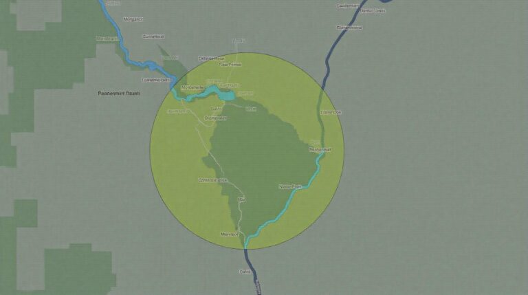
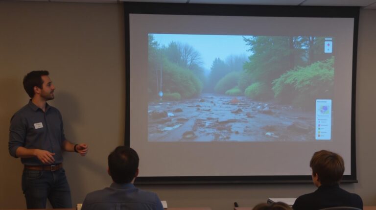
* **Environmental Management:** Explore how the environment is being used to monitor water pollution levels, track erosion patterns, or identify the risk for flood areas in Winnebago County.
* **Urban Planning & Brownfield redevelopment can explore public services, zoning lots, and infrastructure needs, thereby supporting sustainable efforts.
****
The power of GIS is in its multifaceted nature, providing distinct insights that can empower everyone from residents to businesses to researchers. Explore the county can access data and services, but the power comes when you combine those organizations efforts.
****
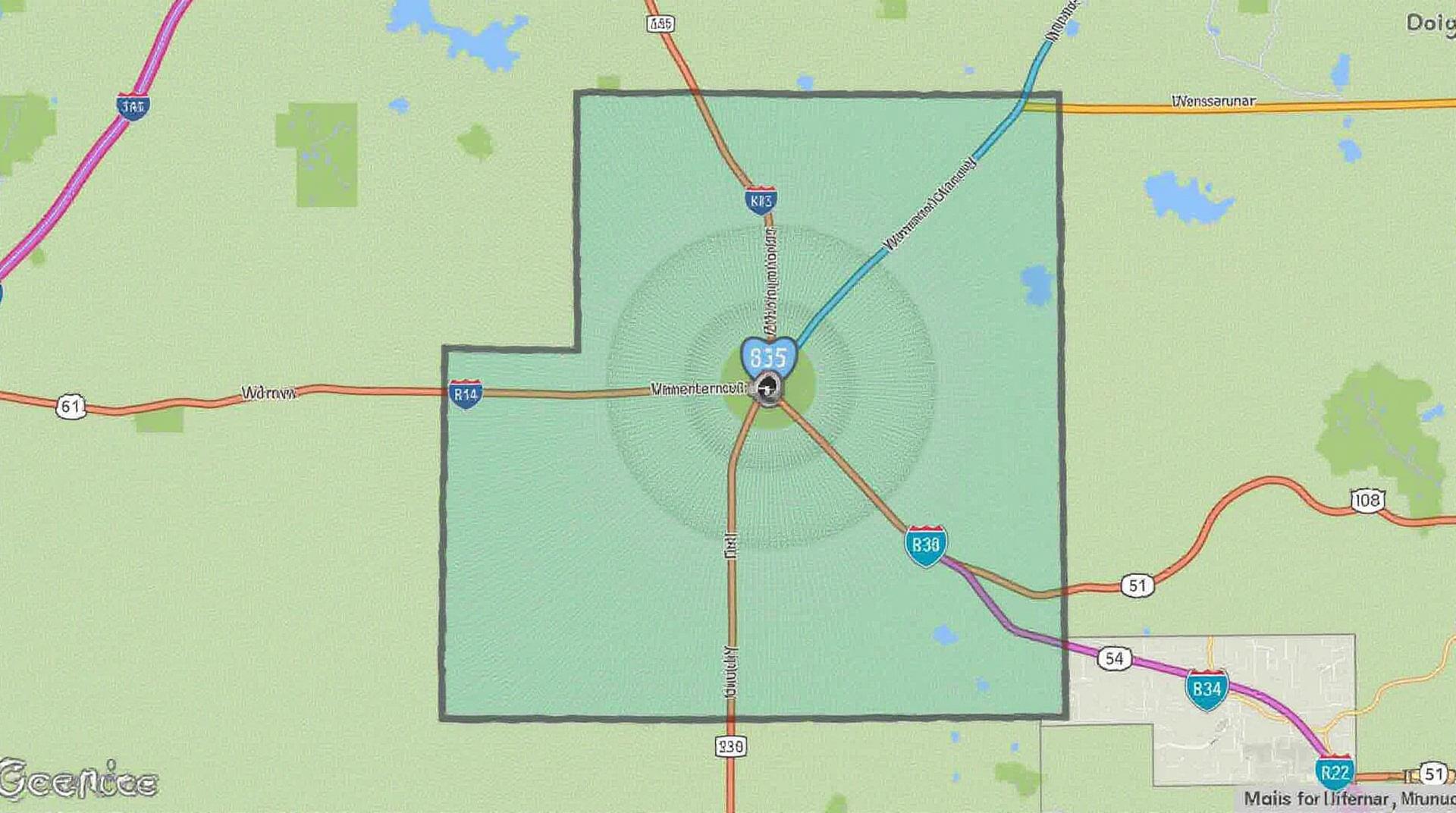
What are Winnebago County GIS Data?
Winnebago County GIS Data encompasses spatially referenced geographic information that provides detailed insights into our community. Think of it as a map on steroids, packed with data about our land, infrastructure, features, and demographics. These layers help us depict the built environment, understand land use, track development, analyze environmental data, plan efficiently, and improve services.
Where Can I Find GIS Data for Winnebago County?
Available Formats
- Shapefile (DXF): Ideal for detailed spatial analysis, especially by software like ArcGIS and QGIS.
- Raster Data (TIFF): Excellent for imagery and visual analysis, especially by software like ERDAS Imagine and ENVI.
- Map Services (Web Map): Accessible via web platforms, allowing for interactive viewing and exploration of features and data. Particularly useful for planning purposes.
- CSV/Text files: Helpful for integrating data into spreadsheet applications such as Google Sheets or Excel for specific analysis.
How Can I Download GIS Data?
Direct Download Links
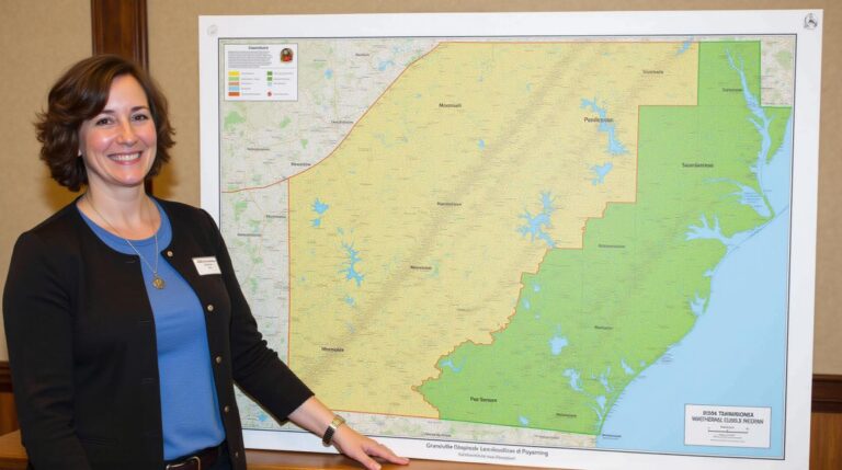
- Winnebago County GIS Data Catalog ( https://gis.winnebagocountyil.gov/data/home): This page provides links to various datasets available in a variety of formats. Particularly useful if you’re looking for specific datasets like property boundaries, zoning, or building permits
- County GIS Services: Reach out to us directly at gis@winnebago-county.org for customized data requests.
How Can GIS data benefit Winnebago County?
Importance of GIS Data for Winnebago County
**Planning and Management:** GIS helps us plan for future growth and manage existing resources more effectively.
**Efficient Services:** It enables us to assess needs, distribute resources, and improve service delivery.
**Environmental Protection:** GIS aids in planning and managing land use to safeguard our environment.
**Public Safety:** It provides valuable information for emergency response, law enforcement, and resource allocation.
Actionable Insights from Winnebago County GIS Data
Leveraging GIS data strategically empowers us to create a prosperous and sustainable Winnebago County for everyone. Data can be used to inform communities about infrastructure needs, guide future development plans, and help address critical issues such as flooding risk, emergency preparedness, and resource management. Particularly, we can invest in improved walkable communities, eco-friendly transportation networks, and enhanced public safety systems, all by applying insightful data analysis.