York County, PA GIS: Tools for Exploration
## York County, PA GIS: Tools for Exploration
York County, nestled in the heart of Pennsylvania, boasts a vibrant tapestry of history, industry, and natural landscapes. Whether you’re a curious resident looking to explore your neighborhood, a business owner seeking to optimize your operations, or a researcher diving into the data of the region, the Geographic Information System (GIS) data in York County can unlock a wealth of valuable insights.
This post delves into the resources available, empowering you to understand and utilize this powerful platform for enhanced exploration and analysis.
What’s on the Map: Key Features & Benefits of York County GIS Data
At its core, York County GIS data is a collection of spatial data, incorporating layers depicting:
* **Boundaries and Topography**: Including county, township, and school district boundaries. Cropland maps, elevations, and prominent landmarks.
* **Transportation & Infrastructure**: Systematically depict roads, intersections, bus routes and train lines, as well as sewage and water lines.
* **Land Use & Development**: Provides insights into residential, commercial, and specific land designations, offering critical information for planning and development inquiries.
* **Environmental Features**: Maps highlighting environmental concerns like watersheds, wetlands, and forests. These resources empower data-driven decisions regarding conservation and resource management.
* **Demographic & Socioeconomic Data**: Provides detailed insights into population density, employment profiles, housing stock, and infrastructure disparities, helping to understand community dynamics and needs.
Access GIS Information: Reliable Data Sources and Platforms
Here’s a breakdown of reputable sources providing access to York County GIS data:
* York County Department of Planning & Growth: This government portal offers maps, datasets, geographic information databases, and reports. Your starting point for geographically interactive content related to the development of the region.
* Statewide GIS Data Repository: Pennsylvania state government hosts a wealth of data, including York County, at its Data PA platform. This is valuable for comparing, analyzing, and finding connections to data at the broader state scale. Additionally, this allows researchers to request data for specific fields and projects.
* Local Parks and Recreation Departments: These departments provide resources on the scattered parks, trails, and recreational centers, ideal for planning outdoor adventures.
* Utilities Provider Websites: These commonly include detailed maps that provide connections to water sources, sewer lines, and other utility infrastructure. These are invaluable for landowners and real estate purposes.
* The York River Basin: The York River Basin provides crucial river data for watershed management and environmental planning, is an excellent resource for researchers and policymakers focused on water resources.
Practical Applications: How York County GIS Data Can be Utilized
Understanding how to utilize these resources requires a brief foray into how information is presented, even at a basic level. Most of these resources can be accessed online through web-based mapping applications, interactive services, and downloading data into compatible formats like Shapefiles, GeoJSON, and KML. Here are some areas in which GIS data in York County excels:
- Real Estate Research and Investing**: Market research and due diligence on potential properties. Explore areas in terms of school district boundaries, surrounding neighborhoods, and the development footprint.
- Environmental Monitoring and Conservation**: Analyze trends in natural resources and assess the impact of development. Identify potential ecological areas needing focus.
- Public Safety and Emergency Response**: Plan routes for emergency responders, streamline communication efforts and situational awareness.
- Transportation Planning**: Evaluate travel times, traffic flow analysis, identify potential traffic bottlenecks and optimize transportation routes.
- Environmental Monitoring and Conservation**: Analyze trends in natural resources and assess the impact of development. Identify potential ecological areas needing focus.
By examining York County GIS data, you can learn how historical trends have impacted specific neighborhoods, discuss how this information influences city planning and development, and ultimately assist with informed decision-making regarding any project or venture in the area.
Conclusion: Harnessing GIS for a More Informed York County
You can unlock the potential of GIS in York County to gain invaluable insights, make better-informed decisions, and contribute to its future development. Explore the resources, learn about the tools, and experience how GIS can enhance your understanding of this valuable region.
Remember, GIS offers a powerful starting point for understanding the data that shapes our world, and York County is no exception.
## York County GIS Frequently Asked Questions
What kind of GIS data do you have available for York County?
York County GIS offers a diverse range of datasets that are essential for various applications. These include:
- Land parcels and features:
- Roads and street networks:
- Tax maps and assessment information:
- Public facility locations:
- Environmental data:
Provide detailed information about land ownership, boundaries, zoning, and classification.
Show all major roads, intersections, street names, and distances.
Include individual property parcels, their size, and assessed property values.
Show locations of parks, libraries, schools, fire stations, and other key public services.
Analyze water bodies, flooding, soil type, and natural resources.
Where can I find York County GIS data?
You can find York County GIS data in various formats at our download page. A few of our most common data outputs include:
What file formats are available for downloads?
We provide downloadable data in a variety of formats, including shapefile, GeoJSON, raster, and KML. Each format is designed to suit different mapping and analysis software and applications.
How do I properly access and use the Maps and Data?
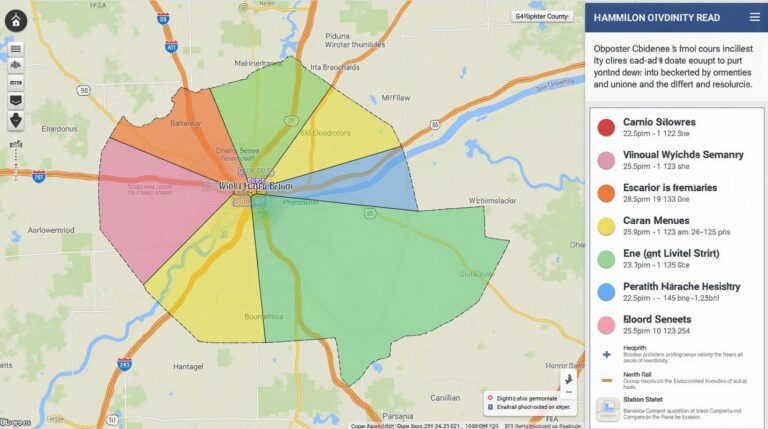
Our GIS system strives to integrate mapping seamlessly. Explore our interactive map to access detailed information for any specific area in the county.
Is York County GIS data free to use?
We offer readily available data in several formats at no cost. For additional support and guidance please reach out to our GIS team.
What impact does GIS data have on York County?
GIS data plays a crucial role in York County by:
* Enabling informed decision-making: By providing a comprehensive view of the county, GIS helps in making better decisions related to infrastructure, planning, and resource management, leading to more efficient and impactful outcomes.
* Improving community engagement: Predicting potential issues like flooding or highlighting areas with limited access to services allows for tailored solutions for the community.
* Boosting emergency response efforts: The ability to analyze real-time data from road records, health resources and emergency hotlines empowers proactive planning and better response times in critical events.