Exploring Urban Areas with 3D GIS
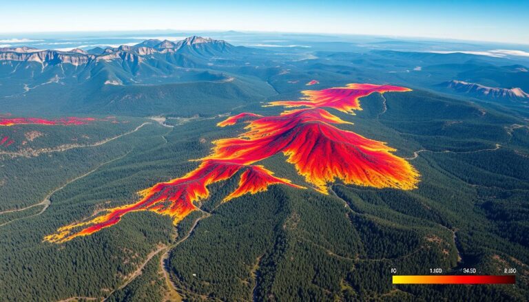
In the world of urban planning, 3D Geographic Information Systems (GIS) is changing the game. This new way of analyzing and showing data is making cities better. It helps planners, architects, and leaders understand and improve urban areas.
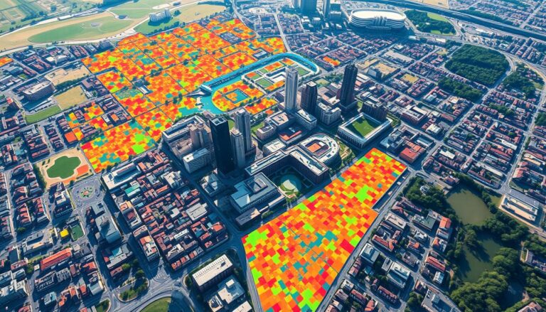
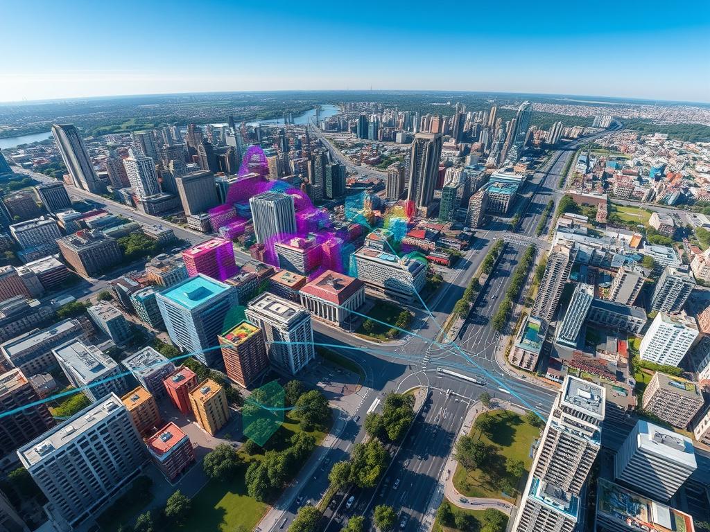
With 3D GIS, we can see cities in a whole new way. It’s not just about maps anymore. We can look at buildings, roads, and even people in a 3D space. This gives us a deeper understanding of our cities.
3D GIS helps planners make better choices. They can see how new projects will affect the city. It also helps them improve traffic and handle environmental issues. This way, cities can grow in a smart and green way.
Key Takeaways
- 3D GIS revolutionizes urban planning and development by providing a multidimensional perspective on urban environments.
- Advanced spatial analysis tools in 3D GIS enable more informed decision-making and enhanced public engagement.
- 3D modeling and visualization capabilities of 3D GIS support the optimization of infrastructure, transportation, and environmental management in urban areas.
- Integrating 3D GIS into urban planning processes empowers cities to address complex challenges and create more livable, sustainable communities.
- The versatility of 3D GIS allows for its application across a wide range of urban planning and development initiatives.
Understanding 3D GIS: A Primer
Exploring cities has become more exciting with 3D GIS (Geographical Information Systems). This technology lets us see and analyze data in three dimensions. It changes how we understand and manage cities.
Definition and Key Components
3D GIS adds the Z-axis, or height, to traditional 2D maps. This creates three-dimensional models of cities. These models show buildings, roads, and terrain accurately.
The main parts of 3D GIS are collecting data, making 3D models, and using tools for advanced visualization. These tools help us interact with digital cities.
The Importance of 3D Visualization
Seeing cities in 3D is a big change for planners and decision-makers. 3D visualization helps us understand how different parts of a city relate. This makes planning and decision-making better.
By using spatial data and geospatial information in 3D models, we can see how changes might affect a city. This helps us find problems and try out different ideas. It makes planning more effective and leads to better cities.
| Key Benefits of 3D GIS | Capabilities |
|---|---|
| Improved Visualization | Realistic 3D models of urban environments |
| Enhanced Spatial Analysis | Analyzing complex relationships and interdependencies |
| Informed Decision-Making | Evaluating the impact of proposed changes and scenarios |
| Collaborative Planning | Engaging stakeholders and the public through interactive 3D models |
“3D GIS is revolutionizing the way we understand and plan our cities, providing a more comprehensive and intuitive view of the urban landscape.”
The Evolution of Urban Modeling
Urban modeling has changed a lot, thanks to new geospatial technology and city planning. It started with simple scale models and now we have digital models. This shows how creative and innovative urban planners and geospatial experts are.
Historical Context
In the early 1900s, making urban models was a hands-on job. People used scale models to plan cities. These models helped them see how buildings fit together and test design ideas. But, these models had limits, like being hard to change.
Advancements in Technology
Then, computer-aided design (CAD) and geographic information systems (GIS) came along in the 1960s and 1970s. These tools let us make 3D models of cities. They could handle things like roads, rules for building, and the environment. Adding geospatial technology made urban modeling even better, helping planners make smarter choices for city planning.
Now, urban modeling goes beyond just 3D models. It uses data, simulations, and even augmented reality. This new approach helps planners tackle today’s city challenges. They can focus on making cities better for everyone.
Urban modeling has grown a lot, keeping up with the complexity of cities and the need for new solutions. As geospatial technology and city planning keep getting better, the future of urban modeling looks very exciting. It will help shape the cities of tomorrow.
Benefits of 3D GIS in Urban Planning
3D GIS has changed how we plan cities. It helps us make better choices and talk to people more clearly. Now, we can see cities in 3D, which makes planning smarter.
Improved Decision-Making
3D GIS lets us see cities in a new way. This helps us plan better and use resources wisely. We can spot problems early and make cities work better.
With 3D GIS, we can make choices that fit the city’s needs. This makes planning more effective.
Enhanced Public Participation
3D GIS makes it easier to involve people in planning. It shows plans in a way that’s easy to understand. This helps everyone see what’s happening and talk about it.
It makes planning more open and fair. Everyone gets a say, which leads to better cities for all.
| Benefit | Description |
|---|---|
| Improved Decision-Making | 3D GIS provides a comprehensive understanding of the urban landscape, enabling planners to analyze and evaluate various development scenarios more effectively. |
| Enhanced Public Participation | 3D GIS helps improve public engagement by presenting urban development plans in an immersive, three-dimensional format, fostering more meaningful dialogue and collaboration. |
“3D GIS has revolutionized the way we approach urban planning, empowering us to make more informed decisions and engage the public in a more meaningful way.”
Applications of 3D GIS in Urban Environments
Urban areas are changing fast, and 3D Geographic Information Systems (GIS) are key. This tech helps in planning, developing, and managing cities. It’s making a big difference in three main areas.
Infrastructure Development
3D GIS helps urban planners and engineers understand a city’s infrastructure. This includes roads, buildings, utilities, and transport systems. Seeing these in 3D helps make better decisions about where and how to build.
This leads to better use of resources, smoother traffic, and safer cities.
Environmental Management
Urban areas face many environmental issues. 3D GIS helps manage these, like air quality and green spaces. It lets managers create detailed models of the city.
They can then see how development affects the environment. This helps find ways to reduce a city’s environmental impact.
Smart City Initiatives
Smart cities focus on using technology for better planning and management. 3D GIS is key here. It helps combine and show data from sensors, traffic systems, and more.
This data improves services, uses resources better, and makes life better for city people.
3D GIS is changing how cities work. It helps leaders, planners, and citizens make better choices. It tackles big challenges and shapes the future of cities.
| Application | Benefit |
|---|---|
| Infrastructure Development | Improved resource allocation, enhanced public safety, and efficient transportation systems |
| Environmental Management | Effective monitoring and mitigation of environmental impacts, such as air quality and green space preservation |
| Smart City Initiatives | Optimization of urban services, increased resource efficiency, and enhanced quality of life for city residents |
“3D GIS enables us to visualize and analyze urban environments in unprecedented detail, empowering cities to make more informed decisions and develop sustainable solutions for the future.”
Challenges in Implementing 3D GIS
3D geospatial software has changed urban planning and development a lot. But, using 3D Geographic Information Systems (GIS) comes with its own set of problems. These include getting the right data, using the right software, and having the right hardware.
Data Collection Issues
Getting the right data for 3D GIS is hard. Data acquisition needs a mix of aerial photos, LiDAR, and 3D scans. It’s a big job that needs special skills and a lot of money.
Software and Hardware Limitations
Using 3D GIS also needs good geospatial software and hardware requirements. Many GIS tools can’t handle 3D data well, causing problems. Also, the computers needed for 3D work are very expensive, making it hard for some to use this tech.
| Challenge | Description | Potential Solutions |
|---|---|---|
| Data Acquisition | Collecting accurate and comprehensive 3D data can be a complex and resource-intensive process. | Exploring emerging technologies like aerial photogrammetry, LiDAR, and 3D scanning to improve data capture efficiency. |
| Software Limitations | Existing GIS platforms may not be fully equipped to handle the complexities of 3D data, leading to compatibility and performance issues. | Investing in specialized 3D GIS software or working with developers to enhance the capabilities of current platforms. |
| Hardware Requirements | The hardware required for running advanced 3D visualizations and analyses can be prohibitively expensive for some organizations. | Exploring cloud-based computing solutions or leasing high-performance hardware to reduce upfront costs. |
Even with these challenges, 3D GIS is a game-changer for urban planning. As tech gets better, we’ll see more ways to overcome these problems. This will help 3D GIS become more common and useful.
Tools and Software for 3D GIS
The urban landscape is getting more complex, and we need better tools. 3D GIS (Geographic Information Systems) are key for managing and analyzing urban data. They help us visualize and understand our cities better.
These tools are changing how we model and decide on urban projects. They offer advanced features that are making a big difference.
Popular Platforms
Popular 3D GIS software includes ArcGIS Pro, CityEngine, and Bentley MicroStation. These platforms have everything needed for urban modeling and analysis. They are great for GIS software, 3D modeling tools, and spatial analysis platforms.
Features to Look For
When picking 3D GIS software, look for these features:
- Strong 3D modeling and visualization
- Easy integration with GIS data
- Advanced tools for urban planning
- Good data management and collaboration
- Support for many data formats
Using these advanced tools, urban planners can make better decisions. This leads to more vibrant and sustainable cities.
Case Studies of 3D GIS in Action
We explore how 3D GIS changes cities worldwide. We look at urban case studies from major cities. They show how 3D city models help reduce disaster risks.
Success Stories from Major Cities
Tokyo, Japan is a great example. It uses 3D GIS to create digital models of its city. This helps planners predict and prepare for disasters like earthquakes and floods.
These models help find weak spots and plan better evacuation routes. This makes Tokyo stronger against disasters.
In New York City, USA, 3D GIS helps with city planning. It lets officials see and analyze 3D data. This helps them decide where to build and how to use space wisely.
Lessons Learned
- Getting good data is key for 3D GIS. It needs teamwork from government, private companies, and the public.
- Using 3D GIS with smart city tech gives deeper insights. This helps make better decisions.
- Showing 3D models to the public helps them understand city plans. It gets them to support these plans.
| City | 3D GIS Application | Key Benefits |
|---|---|---|
| Tokyo, Japan | Disaster risk reduction and emergency planning | Improved resilience, optimized evacuation routes |
| New York City, USA | Urban infrastructure development | Optimized land use, informed decision-making |
These examples show 3D GIS’s big impact on cities. It helps planners make cities better, safer, and more livable.
The Role of 3D GIS in Sustainability
Urban areas are growing fast, making sustainable solutions key. 3D geographic information systems (GIS) are a powerful tool for this. They help with green infrastructure and making cities more resilient to climate change.
Promoting Green Spaces
3D GIS lets planners and designers see and study green spaces like parks and gardens. They use 3D models to find the best spots and designs for these areas. This improves air quality, lowers heat island effects, and offers places for recreation and health.
Impact on Urban Heat Islands
Urban heat islands are a big problem, with cities much hotter than rural areas. 3D GIS helps by showing how buildings, green spaces, and climate work together. It lets planners design cities that can handle heat better, using green roofs and walls.
| Benefits of 3D GIS in Urban Sustainability | Description |
|---|---|
| Promoting Green Spaces | 3D GIS optimizes the placement and design of parks, gardens, and urban forests to enhance environmental and social benefits. |
| Mitigating Urban Heat Islands | 3D GIS models the interactions between the built environment, green infrastructure, and local climate to develop climate-resilient cities. |
3D GIS helps urban planners make better choices for a sustainable city. It focuses on urban sustainability, green infrastructure, and climate resilience. As cities grow, 3D GIS will be even more important for a green future.
Future Trends in 3D GIS and Urban Modeling
The world is getting more digital, and 3D GIS and urban modeling are changing fast. Two big trends are artificial intelligence (AI) and machine learning, and cloud computing’s growing role.
Integration with AI and Machine Learning
Artificial intelligence and machine learning are changing 3D GIS. They help us understand and use urban data better. These technologies can do complex tasks like recognizing objects and predicting changes.
AI can spot problems in 3D models early, like infrastructure issues or environmental risks. Machine learning helps predict how cities will grow. This helps cities plan for the future.
The Growing Role of Cloud Computing
Cloud GIS solutions are becoming more popular. They make 3D GIS easier to use and share. This lets many people work together on urban projects.
Cloud computing helps cities handle big data without expensive hardware. It makes data sharing and updates easier. This saves money and improves communication among city departments.
These new technologies are exciting for the future of 3D GIS and urban modeling. They promise to make cities smarter and more sustainable. This will help cities better meet their residents’ needs.
Training and Education in 3D GIS
The geospatial industry is growing fast, and so is the need for skilled 3D GIS and urban modeling experts. Luckily, many academic programs and professional development chances are out there for those eager to dive into this field.
Academic Programs Available
Universities worldwide offer special degrees and certificates in 3D GIS, urban planning, and geospatial tech. These programs mix classes in GIS, remote sensing, 3D modeling, and urban analytics. They prepare students with the skills needed to succeed in this field.
- Bachelor’s and master’s degrees in GIS, urban planning, or geospatial engineering
- Graduate certificates in 3D GIS, urban modeling, or geospatial data analysis
- Interdisciplinary programs that blend GIS education with fields like architecture, environmental science, or public policy
Online Resources and Workshops
For those looking to grow professionally, many online resources and workshops are available. These offer valuable training and certification in 3D GIS, geospatial analysis, and urban modeling. They help professionals improve their skills and keep up with new trends in the industry.
- Online courses and tutorials on platforms like Coursera, Udemy, and edX
- Webinars and virtual conferences hosted by GIS software providers and professional organizations
- Hands-on workshops and training sessions offered by local GIS user groups or industry experts
By using these educational resources, both aspiring and current GIS professionals can get the geospatial training and professional development needed to excel in the fast-paced world of 3D GIS and urban modeling.
Conclusion: The Future of Urban Spaces
Looking back, 3D GIS has changed urban planning and development a lot. It’s key to making our cities better. From urban future to smart urban planning, 3D GIS has made a big difference. It helps us create cities that are sustainable and nice to live in.
Final Thoughts on 3D GIS and Urban Development
Geospatial innovation has brought a new era to urban planning. Now, we make decisions based on data and see things clearly. This technology is very important for cities to grow and solve problems.
It helps planners, policymakers, and communities make better choices. This way, we can build cities that are smart, strong, and good for the environment.
The future of cities looks bright. With new tech like AI, machine learning, and cloud computing, 3D GIS will get even better. It will help us solve big city problems in new ways. This is an exciting time for our cities, and 3D GIS will play a big role in it.

