


GIS and Spatial Analysis 🌎
Spatio-Temporal Analysis of Population
In today's fast-changing world, knowing how populations move is key for leaders, city planners, and researchers. Spatio-Temporal Analysis of Population ...
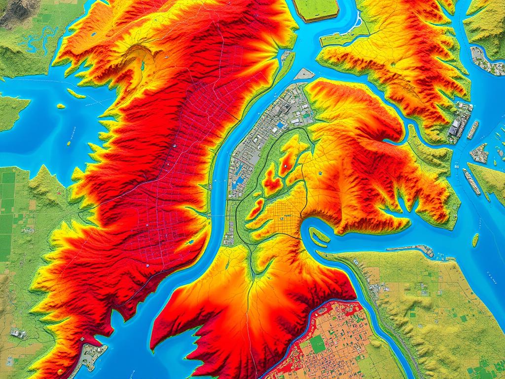
Flood Risk Assessment Using GIS
Climate-related disasters are on the rise, making flood risk assessment more important than ever. Geographic Information Systems (GIS) are key ...

Predictive Analysis with Geospatial Data Mining
In today's world, using location-based information is key for businesses. Geospatial data mining mixes spatial analysis and predictive modeling. It ...

Groundwater Mapping Using GIS
Groundwater is crucial for communities, farms, and industries all over the world. Yet, managing and saving this resource is hard, ...
Mapping Socio-Economic Inequality
Socio-economic inequality is a big problem that affects communities all over the world. This article looks at how Geographic Information ...

Exploring Urban Areas with 3D GIS
In the world of urban planning, 3D Geographic Information Systems (GIS) is changing the game. This new way of analyzing ...
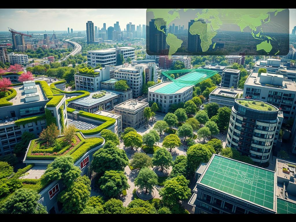
Enhancing Urban Areas with GIS and Green Infrastructure
As cities grow, planners and policymakers seek new ways to make them sustainable. Geographic Information Systems (GIS) and green infrastructure ...
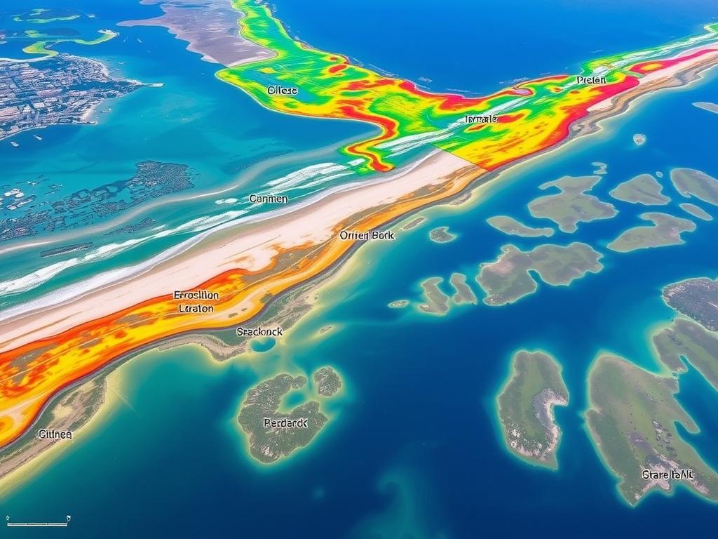
Using GIS to Manage Coastal Areas
Coastal areas are complex and need careful management to stay healthy. Geographic Information Systems (GIS) help a lot in this ...
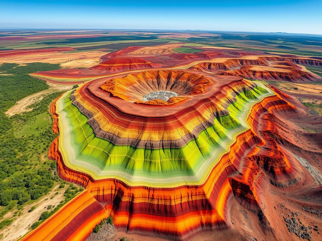
Soil Erosion Mapping with GIS
Soil erosion is a big problem that harms our land. But, new GIS technology is changing how we fight it ...
Geospatial Artificial Intelligence - 🛰🌎GeoAI-
GeoAI for Smart City Infrastructure – Asset Tracking
GeoAI for Smart City Infrastructure: Asset Tracking The burgeoning Smart City movement promises innovative solutions to improve urban living. At ...

AI in Geospatial Data Transformation – Data Conversion
# AI for Geospatial Data Transformation: The Future of Data Conversion Leveraging Artificial Intelligence for Efficient Geospatial Data Transformation Globalization ...

GeoAI for Smart Agriculture – Crop Health Monitoring
GeoAI for Smart Agriculture: Optimizing Crop Health Monitoring In today's interconnected world of agriculture, ensuring the health and productivity of ...

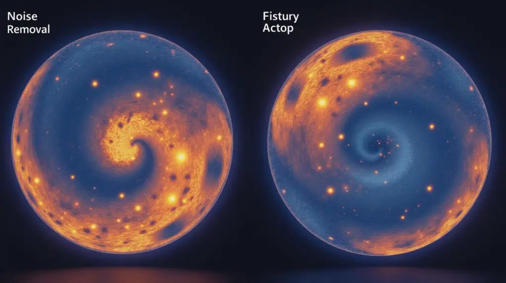
AI for Geospatial Data Augmentation – Enhanced Models
AI for Geospatial Data Augmentation – Enhanced Models Geospatial data, encompassing the location information tied to physical entities like buildings, ...

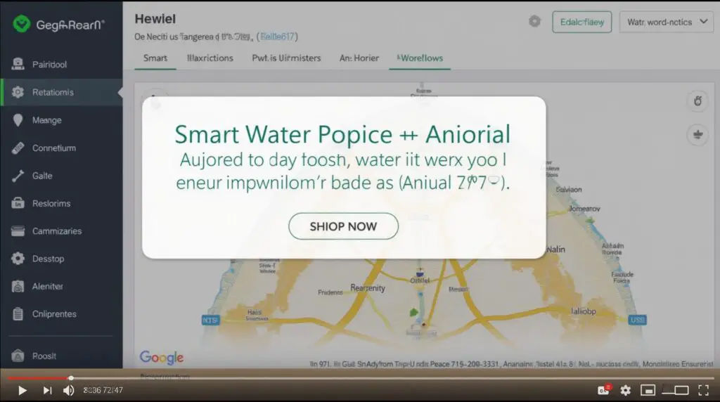
GeoAI for Smart Water Systems – Flood Risk Assessment
GeoAI for Smart Water Systems: Flood Risk Assessment In today's world, the reliability of our water systems is not just ...

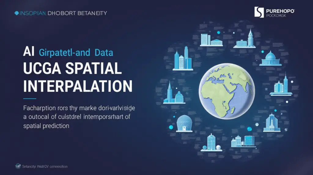
AI in Geospatial Data Clustering – Spatial Grouping
Understanding and Leveraging AI in Geospatial Data Clustering In the age of Big Data, understanding and analyzing spatial patterns are ...
US County and ZIP Code Maps 🔎🌎

Washington County GIS: Urban Planning Insights
Washington County GIS: Urban Planning Insights Washington County, a dynamic hub with a thriving urban landscape, houses a wealth of ...

Warren County GIS: Coastal Mapping Tools
Warren County GIS: Coastal Mapping Tools Welcome to a deeper understanding of Warren County's fascinating coastline through the lens of ...

Ventura County GIS: Explore with Ease
Ventura County GIS: Explore with Ease Unveiling the Power of GIS for Ventura County Insights What is GIS, and Why ...

Union County GIS: Tools for the Community
Union County GIS: Tools for the Community Discover the power of geographic information systems (GIS) and how Union County resources ...

Tulare County GIS: Mapping Made Simple
Tulare County GIS: Mapping Made Simple Tulare County is a sprawling hub of agricultural activity, natural beauty, and a range ...

Travis County GIS: Your Data Destination
Travis County GIS: Your Data Destination Welcome to the definitive guide to Travis County GIS, your one-stop shop for geographically ...