10 Current GIS, Remote Sensing & Land Surveying Jobs in the Arabian Gulf – September 2026
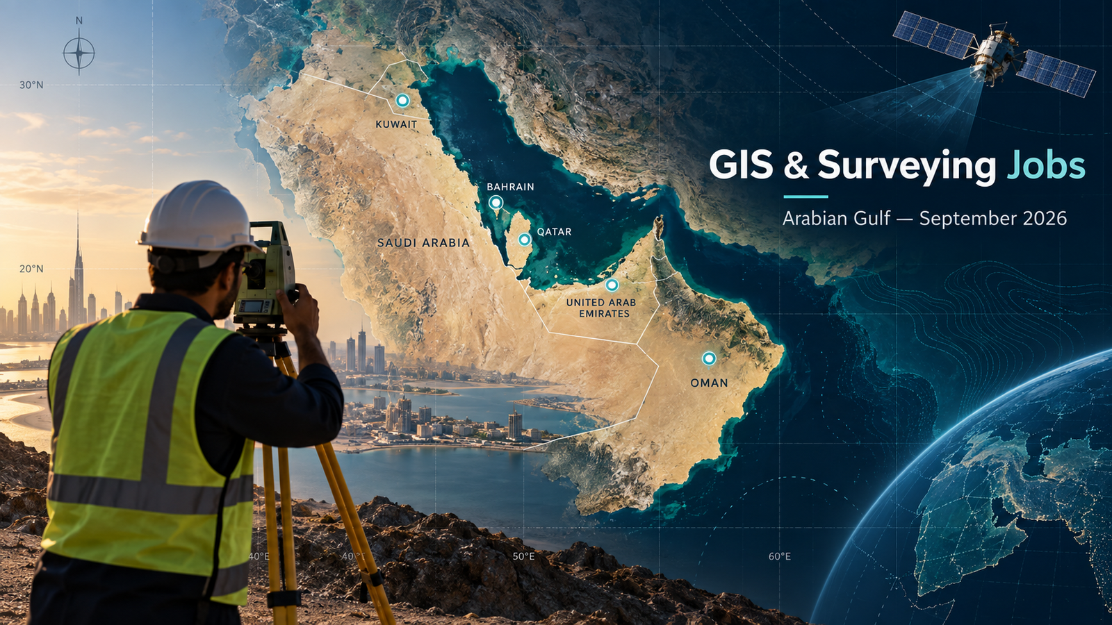
Looking for GIS jobs in the Arabian Gulf in September 2026? This corrected roundup contains 10 vacancies that were individually checked on 22 September 2026. The opportunities span the United Arab Emirates, Qatar and Saudi Arabia, with work in land surveying, GIS, geomatics, infrastructure mapping, GNSS, CAD, geospatial databases, LiDAR, UAV surveying and utility-network delivery.
Coverage note: The Arabian Gulf also includes Bahrain, Kuwait and Oman. No current vacancy from those three countries met every verification requirement during this update, so none was added merely to fill a country quota. Those markets will be searched again in the next Gulf edition.
Job advertisements may be changed or closed by employers without notice. Every vacancy in this article was accessible and appeared open when checked on 22 September 2026. Always verify the details on the employer’s page before applying.
Current GIS, remote sensing and surveying vacancies
| Country | Job title | Employer | Location | Level / experience | Work arrangement | Posting date | Deadline | Salary | Application |
|---|---|---|---|---|---|---|---|---|---|
| UAE | Land Surveyor | AECOM | Abu Dhabi | 5+ years | On-site | Not stated | Not stated | Not disclosed | View Job & Apply |
| UAE | Land Surveyor – Transportation | AECOM | Dubai | Experienced | On-site, part-time | Not stated | Not stated | Not disclosed | View Job & Apply |
| UAE | Graduate GIS Specialist | AECOM | Dubai | Graduate; UAE nationals | Hybrid, full-time | Not stated | Not stated | Not disclosed | View Job & Apply |
| UAE | Land Surveyor – Roads & Utilities | AECOM | Dubai | 7+ years | On-site, contract | Not stated | Not stated | Not disclosed | View Job & Apply |
| UAE | Land Surveyor | Parsons | Dubai | 7+ years | Office / field | Not stated | Not stated | Not disclosed | View Job & Apply |
| UAE | Land Surveyor – Roads & Bridges | Parsons | Dubai | 10+ years | Office / field | Not stated | Not stated | Not disclosed | View Job & Apply |
| Qatar | Land Surveyor | Parsons | Doha | 8+ years | Office / field | Not stated | Not stated | Not disclosed | View Job & Apply |
| Qatar | GIS Specialist | EMP GoWIN Global | Qatar | 10+ years | Not stated | Not stated | Not stated | Not disclosed | View Job & Apply |
| Saudi Arabia | Construction Engineer – ICT Fiber | Parsons | Riyadh | 5+ years | Office / field | Not stated | Not stated | Not disclosed | View Job & Apply |
| Saudi Arabia | Survey Manager | Parsons | Riyadh | 10+ years | Office / field | Not stated | Not stated | Not disclosed | View Job & Apply |
United Arab Emirates opportunities
1. Land Surveyor — AECOM, Abu Dhabi
AECOM is recruiting a land surveyor for infrastructure and construction work in Abu Dhabi. The role combines field measurement with survey-data analysis, site plans and technical reporting. Candidates should bring at least five years of experience plus working knowledge of GPS/GNSS, total stations, drone surveying, AutoCAD and GIS software. Familiarity with UAE construction standards and local approval processes is useful, while a recognized surveying licence is preferred rather than presented as mandatory. Strong CV keywords include GNSS, geodetic control, topographic survey, AutoCAD, GIS, drone survey, QA/QC and as-built documentation. The employer lists the job as full-time and on-site; salary and deadline are not disclosed. Open the official AECOM vacancy.
2. Land Surveyor – Transportation — AECOM, Dubai
This Dubai-based AECOM position supports transport infrastructure surveying. The surveyor establishes and checks control points, records measurements, verifies traverse and benchmark closures, supports construction setting-out, and helps prepare as-built drawings. Experience with roads, drainage and utilities is especially relevant. The listing highlights total stations, GPS equipment, survey software and careful field documentation, along with knowledge of RTA procedures and UAE standards. Applicants should show examples of alignment, grading, level control, site inspection and contractor coordination rather than relying on a generic engineering CV. The employer classifies the role as part-time and on-site. No salary or closing date is stated. View and apply on AECOM’s application page.
3. Graduate GIS Specialist — AECOM, Dubai
This graduate GIS role is one of the few entry-level positions in the roundup. It involves extracting, analysing and visualising spatial data, maintaining GIS databases, producing maps and supporting project proposals. AECOM asks for a recent degree in geography, geospatial science, environmental science, urban planning or a closely related subject, plus foundation-level experience with ArcGIS Pro and/or QGIS. Python or R exposure is useful for automation and geoprocessing. The restriction is explicit: candidates must be UAE nationals with a family book and must have graduated within the previous 24 months. The role is full-time with a hybrid work model. Suggested CV terms include ArcGIS Pro, QGIS, spatial analysis, cartography, coordinate systems, Python and geodatabase. Read the eligibility details and apply.
4. Land Surveyor – Roads & Utilities — AECOM, Dubai
AECOM’s contract land-surveyor vacancy focuses on roads, infrastructure, micro-tunnelling, sewage-treatment and underground-utility work. Responsibilities include establishing control networks and benchmarks, carrying out traversing and levelling, processing survey data, preparing reports and plans, and coordinating with engineers and contractors. The employer asks for a degree or diploma in surveying, geomatics or civil engineering, professional certification, and at least seven years of relevant experience. Applicants should be comfortable with coordinate systems, datum transformations, GPS/GNSS processing, total stations and AutoCAD. UAE experience and a driving licence are advantages where stated, not assumptions. The role is on-site and salary is not disclosed. Open the exact AECOM vacancy.
5. Land Surveyor — Parsons, Dubai
Parsons is seeking a Dubai land surveyor to perform field surveys and geodetic calculations, verify project survey requirements, check setting-out and levels, protect known services, maintain field books and calculations, and measure completed work when required. The stated baseline is a diploma or associate degree in civil engineering or land surveying and at least seven years on infrastructure projects. Practical familiarity with CAD, survey software, total stations, data collectors and GPS equipment is central. Candidates should show safe field practice, disciplined records and clear coordination with clients and contractors. Dubai authority approvals are preferred. The page has an active employer-hosted Apply Now route; pay and deadline are not listed. View the Parsons role and apply.
6. Land Surveyor – Roads & Bridges — Parsons, Dubai
This second Parsons vacancy is more senior and specifically requests at least ten years of experience in road works, bridges and infrastructure. The work covers geodetic calculations, field surveys, contractor and client coordination, setting-out and level checks, service-location protection, survey sketches, measurement records and as-built drawing support. A diploma or associate qualification in civil engineering, land surveying or an equivalent discipline is required. A strong application should document road or bridge packages, control and benchmark work, total-station and GPS use, survey-software competence and health-and-safety practice. The listing is hosted by Parsons and includes an active application route. Compensation, visa support and a deadline are not stated, so candidates should confirm those points with recruitment. Open the official Parsons vacancy.
Qatar opportunities
7. Land Surveyor — Parsons, Doha
Parsons’ Doha land-surveyor opening supports civil and infrastructure construction. The role includes topographic and boundary surveys, construction staking, setting-out from approved drawings, data processing, level and alignment verification, survey notes and coordination with engineering teams and contractors. Applicants need a diploma in surveying, civil engineering or a related field and at least eight years of experience, preferably on roads, utilities or drainage networks. The page names total stations, GPS, AutoCAD and accurate documentation as key capabilities; familiarity with GIS integration is an advantage. English communication is required, while Arabic and prior Gulf experience are advantages rather than absolute conditions. Salary and application deadline are not given. Apply through the official Parsons page.
8. GIS Specialist — EMP GoWIN Global, Qatar
This recruiter-managed Qatar vacancy seeks a GIS specialist for major roads, infrastructure and drainage projects. Responsibilities cover project handover support, spatial-data management, map and report preparation, data quality and coordination with engineers and project teams. The listing requests an engineering degree, more than ten years of construction experience and at least five years supporting project handovers on regional or international assignments. Candidates should present evidence of GIS database work, infrastructure mapping, quality assurance and communication with multidisciplinary teams. The application page is public and includes a direct Apply function, unlike the inaccessible aggregator links removed from the original article. Salary, work arrangement and closing date are not stated. Review the full brief and apply.
Saudi Arabia opportunities
9. Construction Engineer – ICT Fiber — Parsons, Riyadh
This Riyadh infrastructure role is relevant to geospatial candidates with utility-network and fibre-route experience. The engineer oversees route design, permitting, trenching and drilling activities, quality checks, testing and as-built documentation. Field-survey work includes locating utilities, gathering site data and creating KMZ files. Parsons asks for a civil-engineering, telecommunications or equivalent background, at least five years in ICT design, structured cabling or fibre deployment, and proficiency with GIS, AutoCAD or specialist fibre-design software. Strong CV evidence would include right-of-way coordination, route mapping, utility detection, KMZ/KML production, OTDR testing and construction QA/QC. The employer page provides a direct Apply Now path. Salary and closing date are not disclosed. Open the Parsons application page.
10. Survey Manager — Parsons, Riyadh
Parsons is hiring a survey manager for a large aviation programme in Riyadh. The position leads survey standards, QA/QC, control networks, topographic and construction surveys, field teams, survey databases and GIS platforms. It also connects accurate geospatial data with BIM and digital-twin workflows. Candidates need a bachelor’s degree in surveying, geomatics, civil engineering or a related discipline and at least ten years of airport, airfield or aviation-infrastructure surveying experience. The technical stack includes GNSS/GPS, total stations, LiDAR, UAVs, 3D laser scanning and GIS. RICS, CPEng or an equivalent certification is preferred. This is a genuine senior-management opportunity, not a general GIS analyst role. Compensation and deadline are not stated. View the official role and apply.
Skills in demand across these Gulf vacancies
The clearest demand is for precise field-to-office delivery: GNSS/GPS and total-station work, control networks, levelling, construction setting-out, survey data processing and reliable as-built records. AutoCAD appears repeatedly, while GIS is used for database maintenance, infrastructure handover, utility routes and integration with BIM or digital twins. Senior positions add LiDAR, UAVs, 3D laser scanning, QA/QC leadership and stakeholder coordination. Applicants should use these terms only when they can support them with a real project example, result or portfolio item.
Application advice for Gulf geospatial roles
- Tailor the first page of your CV to the exact project type: roads, drainage, utilities, bridges, fibre networks or aviation.
- List instruments and software precisely, including model names or versions only where you have used them.
- Describe coordinate systems, control networks, accuracy checks and QA/QC responsibilities with measurable outcomes.
- Do not assume visa sponsorship, relocation or allowances. Ask the employer because these conditions were not stated on most pages.
- For UAE-national or Saudi-national roles, read the eligibility restriction before applying.
Frequently asked questions
Are all six Arabian Gulf countries represented?
No. This verified edition covers the UAE, Qatar and Saudi Arabia. Bahrain, Kuwait and Oman were searched, but no current public vacancy passed all link, recency and relevance checks on 22 September 2026.
Are the application links direct?
Yes. Each button opens an individual vacancy on the employer’s career platform or the recruiter’s own public application page. Search-result pages and the blocked Naukrigulf links were removed.
Are there graduate opportunities?
Yes. AECOM’s Graduate GIS Specialist role is entry-level, but it is explicitly restricted to recent UAE-national graduates with a family book.
Can international candidates apply?
Several listings do not state a nationality restriction, but that does not guarantee sponsorship. Confirm work authorization, visa and relocation terms directly with the employer before making plans.
Continue your geospatial job search
Check the TechGeo Geo-News archive for the next regional update. You can also compare recent opportunities in South America, Germany and France.