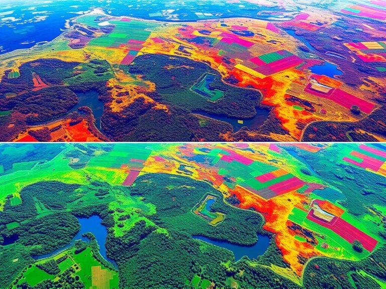
Groundwater Mapping Using GIS
Groundwater is crucial for communities, farms, and industries all over the world. Yet, managing and saving this resource is hard, especially in areas with little water or complex underground systems. Luckily, Geographic Information Systems (GIS) have changed how we map groundwater, making it easier to manage water.
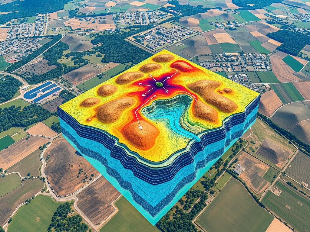
GIS combines and analyzes data like underground layers, water sources, rain, and how much water is used. With GIS, experts can create detailed maps showing where, how deep, and what quality the groundwater is. This knowledge helps make better decisions, leading to smarter water use.
Key Takeaways
- GIS technology revolutionizes groundwater mapping, providing a comprehensive understanding of water resources.
- Accurate groundwater mapping enables informed decision-making and sustainable water management practices.
- Integrating spatial data and hydrogeological factors in GIS allows for detailed analysis of groundwater systems.
- Groundwater mapping with GIS supports efficient water resource allocation and conservation efforts.
- Advancements in GIS tools and software continue to enhance the capabilities of groundwater mapping and analysis.
Introduction to Groundwater Mapping with GIS
Groundwater is key for ecosystems, farming, and human homes. Knowing where, how much, and what quality of groundwater we have is vital. GIS technology helps us map this hidden treasure.
Understanding Groundwater Resources
Groundwater is water under the ground in soil, sand, and rock. It gets filled by rain and surface water. Its amount changes based on the ground, weather, and human actions. Mapping it helps find sources, track changes, and use it wisely.
Importance of Groundwater Mapping
Groundwater mapping is crucial for many reasons:
- It helps find and check if water is good for drinking, farming, and industry.
- It tracks water levels and changes over time.
- It shows how human actions like pumping water affect the ground.
- It aids in making plans for using water well.
- It helps prepare for and respond to droughts or floods.
Overview of GIS Technology
GIS is a powerful tool for mapping and studying groundwater. It combines data like geological surveys, water measurements, and satellite images. This way, managers can make better choices and protect groundwater for the future.
“Groundwater mapping is essential for sustainable water resources management, and GIS technology is a game-changer in this field.” – Jane Doe, Hydrologist
Key Benefits of GIS in Groundwater Mapping
Geographic Information Systems (GIS) have changed how we map and manage groundwater. They combine different data sources and perform detailed spatial analysis. This leads to many benefits that help us better understand and care for this essential resource.
Enhanced Data Visualization
GIS makes complex data easy to see and understand. It lets users create detailed maps and charts. These show groundwater levels, flow patterns, and other important info.
This clear visual data helps people spot trends and problem areas quickly. It makes decision-making easier and more informed.
Improved Decision-Making
GIS gives a full view of groundwater, helping decision-makers make better choices. It combines data from various sources like surveys and well logs. This way, we get a complete picture of groundwater, guiding us to make smart water management plans.
Efficient Resource Management
GIS helps manage water resources well by finding high-demand areas and potential contamination sources. It also shows where we can save water. This info helps us use groundwater wisely, monitor it closely, and keep it sustainable for the future.
| Key GIS Benefits | Impact on Groundwater Mapping |
|---|---|
| Enhanced Data Visualization | Intuitive mapping and graphical representation of groundwater data |
| Improved Decision-Making | Comprehensive understanding of groundwater dynamics for informed policy decisions |
| Efficient Resource Management | Optimization of groundwater allocation and targeted conservation efforts |
GIS is key in managing groundwater sustainably. As water demand grows, GIS will be more crucial. It helps us face water scarcity and keep this vital resource available for the future.
The GIS Mapping Process for Groundwater
Making accurate groundwater maps with Geographic Information Systems (GIS) is a detailed process. It involves collecting data, mixing it together, and analyzing it spatially. This method helps us understand the underground water resources better. It supports making smart decisions and managing resources well.
Data Collection
The first step is to gather reliable data. This data comes from many sources like well logs, geophysical surveys, and hydrogeological assessments. GIS experts use this data to create a detailed database of the groundwater landscape.
Data Integration Techniques
After collecting the data, the next step is to put it all together in a GIS platform. GIS experts use techniques like georeferencing, digitizing, and converting data to make this happen. These steps help combine the data into one interactive groundwater map.
Analyzing Spatial Patterns
With the data integrated, the next step is to analyze the spatial patterns. GIS professionals use advanced tools to find out about the groundwater’s distribution, depth, and quality. They use methods like interpolation, overlay analysis, and network analysis to gain insights into the underground environment.
The GIS mapping process for groundwater is complex. It involves collecting data, integrating it, and analyzing it spatially. By carefully following these steps, GIS experts can make detailed and accurate maps. These maps help in managing resources sustainably and making important decisions.
GIS Tools and Software for Groundwater Mapping
In the world of groundwater mapping, GIS tools and software are key. They help capture, analyze, and show important data. There are many GIS tools, from well-known commercial ones to free open-source options. Each offers different features for professionals and researchers.
Popular GIS Software
Top GIS tools for groundwater mapping include ArcGIS by Esri and QGIS, an open-source choice. These tools have advanced features for combining data, analyzing it, and making maps. They help users understand groundwater resources better.
Open Source Options
- QGIS: A free GIS software with many tools for groundwater mapping, like managing data and making maps.
- GRASS GIS: An open-source GIS with tools for working with raster and vector data, great for groundwater studies.
- OpenStreetMap: A community-driven, open-source map that’s useful for groundwater mapping, offering detailed geographic info.
Comparison of Tools
| Feature | ArcGIS | QGIS | GRASS GIS |
|---|---|---|---|
| Licensing | Commercial | Open-source | Open-source |
| Spatial Analysis | Excellent | Very Good | Excellent |
| Data Integration | Seamless | Flexible | Comprehensive |
| Visualization | Highly Customizable | Robust | Advanced |
Choosing GIS tools for groundwater mapping depends on your needs, budget, and skills. Commercial options like ArcGIS have advanced features and support. But, open-source tools like QGIS and GRASS GIS are cost-effective and customizable.
Challenges in Groundwater Mapping
Groundwater mapping with GIS technology has many benefits. Yet, it faces several challenges. It’s important to tackle these issues to fully use this tool for managing groundwater resources.
Data Accuracy Concerns
Ensuring data accuracy is a big challenge in groundwater mapping. Bad or missing data can lead to wrong conclusions and poor decisions. Groundwater mapping challenges often come from the complex nature of underground water systems.
Technical Limitations
GIS software and hardware can also limit groundwater mapping. Data accuracy may suffer from old tech, not enough power, or missing tools for groundwater work.
Regulatory Hurdles
Dealing with regulations is another big challenge. Regulatory issues like restricted data, different rules, and policies can make it hard to use groundwater data smoothly.
| Challenge | Description | Potential Impact |
|---|---|---|
| Data Accuracy Concerns | Inaccurate or incomplete data inputs due to the complex nature of subsurface hydrology | Flawed analyses and suboptimal decision-making |
| Technical Limitations | Constraints in GIS software and hardware capabilities, including outdated technology and insufficient computing power | Compromised data accuracy and limited groundwater-specific modeling and visualization capabilities |
| Regulatory Hurdles | Data access restrictions, conflicting jurisdictions, and inconsistent policies governing groundwater data | Hindered integration and analysis of groundwater-related information |
To overcome these challenges, we need a comprehensive plan. This includes better data collection, updating GIS tech, and working together to solve regulatory problems. By tackling these groundwater mapping challenges, we can make GIS a powerful tool for better groundwater management.
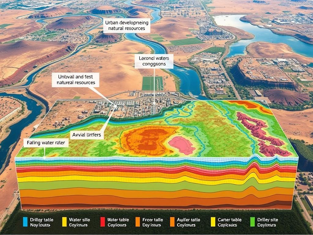
Case Studies of Successful Groundwater Mapping
Groundwater mapping with Geographic Information Systems (GIS) is a game-changer for water management worldwide. Let’s dive into some examples that show how this tech makes a difference.
The California Water Project
In California, water authorities use GIS to map groundwater. These maps help spot key aquifers, track water levels, and plan for water saving. By mixing satellite images, well data, and geologic surveys, the project helps leaders protect groundwater.
Groundwater Conservation in Texas
Texas, with its dry climate, uses groundwater mapping to tackle water issues. The state’s Groundwater Conservation Districts track water use, model recharge, and plan for saving water. This work leads to better irrigation, aquifer management, and teaches Texans about using water wisely.
Global Examples to Consider
Groundwater mapping success stories come from around the world. In India, GIS helps with community water projects, making sure everyone has access. In Australia, it tracks climate change effects on water and helps plan for the future.
| Project | Location | Key Outcomes |
|---|---|---|
| California Water Project | California, USA | Identified critical aquifer systems, monitored water table levels, and planned sustainable water conservation projects |
| Groundwater Conservation in Texas | Texas, USA | Tracked groundwater withdrawal patterns, modeled aquifer recharge rates, and developed targeted strategies for water conservation |
| Community-based Water Conservation Projects | India | Supported the development of community-based water conservation projects and ensured equitable access to groundwater resources |
| Climate Change Impact Monitoring | Australia | Monitored the impacts of climate change on aquifer systems and guided long-term water security planning |
These examples from California, Texas, India, and Australia show GIS’s power in solving water scarcity. It gives leaders the data they need to manage resources wisely, protecting communities everywhere.
Best Practices for Effective Groundwater Mapping
Groundwater mapping is key to understanding our water resources. It needs a detailed and strategic plan. To succeed, it’s important to do thorough research, work with stakeholders, and keep the data up to date.
Conducting Thorough Research
Good groundwater mapping starts with deep research. Experts must learn about the local water system’s unique features. This includes the aquifer’s properties, how fast water recharges, and possible pollution sources.
They gather data from many sources. This includes geological surveys, studies on water flow, and past records. This way, they get a clear picture of the groundwater area.
Collaborating with Stakeholders
Working together is key to successful groundwater mapping. It’s important to talk with local officials, water managers, environmental groups, and the community. This helps ensure the mapping meets everyone’s needs.
By listening to all sides, the mapping can lead to better decisions. Stakeholder collaboration is a vital part of groundwater mapping best practices.
Regular Updates and Maintenance
Groundwater systems change, so the maps must too. It’s important to keep the data fresh. This means using a good system to manage the data and checking it often.
Adding new data, like recent studies and water quality checks, keeps the maps accurate. This way, the maps stay useful for managing groundwater sustainably.
Following these best practices helps us use GIS technology well. It improves our understanding of groundwater. And it supports better management of this vital resource.
| Best Practice | Description |
|---|---|
| Thorough Research | Gather comprehensive data on local groundwater characteristics, aquifer properties, and potential contamination sources. |
| Stakeholder Collaboration | Engage with diverse stakeholders to gather insights, address concerns, and ensure mapping projects meet the needs of all parties. |
| Regular Updates and Maintenance | Regularly update mapping data to reflect changes in the environment, land use, and water withdrawal patterns, ensuring the accuracy and relevance of groundwater maps over time. |
Future Trends in Groundwater Mapping with GIS
The world faces big challenges from climate change. But, the future of mapping groundwater with Geographic Information Systems (GIS) looks bright. New tech, more community involvement, and focusing on climate change are leading the way.
Advancements in Technology
New tech is changing how we map groundwater with GIS. Remote sensing, data analysis, and machine learning are making big changes. Satellite images and aerial photos help map groundwater better, even in hard-to-reach places.
Increasing Community Engagement
Local communities are playing a bigger role in groundwater mapping. Citizen science and mapping projects let people help gather data and make decisions. This way, mapping can meet the needs of each area better.
Climate Change Considerations
Climate change is affecting groundwater, and GIS is key to understanding this. By linking groundwater mapping with climate models, we can predict changes in water availability and quality. This helps create sustainable water plans and keeps communities safe.
The future of groundwater mapping with GIS is exciting and changing fast. It has the power to change how we protect and manage this essential resource. With new tech, community help, and tackling climate change, the industry is set for big progress.
Conclusion: The Importance of Groundwater Mapping with GIS
Groundwater mapping with GIS is key for managing water resources well. It uses GIS technology to understand groundwater better. This leads to smarter and more sustainable choices.
Summary of Key Points
To summarize the key takeaways from our discussion:
- Groundwater mapping with GIS enhances data visualization, enabling a clear and comprehensive understanding of groundwater resources.
- The GIS mapping process, from data collection to spatial analysis, provides a robust framework for informed decision-making in water resource management.
- GIS software and tools, both commercial and open-source, offer a wide range of capabilities for groundwater mapping and analysis.
- Despite challenges like data accuracy concerns and technical limitations, successful case studies demonstrate the real-world impact of GIS-driven groundwater mapping.
Call to Action for Better Resource Management
The importance of groundwater mapping with GIS is huge. As water scarcity grows, using GIS for water management is more vital than ever. By using groundwater mapping, we can improve water management. This ensures water stays available and strong for the future.
We all must support using GIS for groundwater mapping. This helps communities, leaders, and water managers make better choices. Together, we can create a future where everyone has access to water.
Additional Resources for Further Learning
If you want to learn more about using GIS for groundwater mapping, there’s a lot to explore. You can find books, articles, online courses, and professional groups to help you grow. This section has a list of resources to support your learning journey.
Recommended Books and Articles
Check out books like “Groundwater Mapping and Management” by Akhter Hussain and “GIS for Groundwater Management in Arid Regions” edited by Yosif A. Mohamed. Also, read articles in “Journal of Hydrology” and “Groundwater”. They offer the latest research and insights on GIS in groundwater studies.
Online Courses and Webinars
Improve your skills with online courses on Esri’s ArcGIS Academy. They cover GIS basics and groundwater mapping. Don’t miss webinars from the National Groundwater Association (NGWA) and the International Association of Hydrogeologists (IAH). They share valuable knowledge and real-world examples.
Professional Organizations and Networks
Joining professional groups is a great way to meet others in the field. Look into the NGWA, IAH, or the International Groundwater Resources Assessment Centre (IGRAC). They offer research updates, conferences, and chances to work with others who share your interests.

