Riverside County GIS: Urban Planning Insights
Riverside County GIS: Urban Planning Insights
Riverside County GIS: Urban Planning Insights
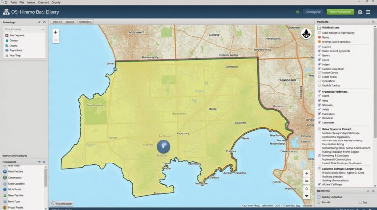
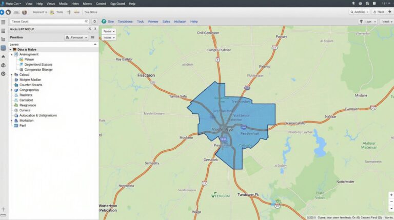
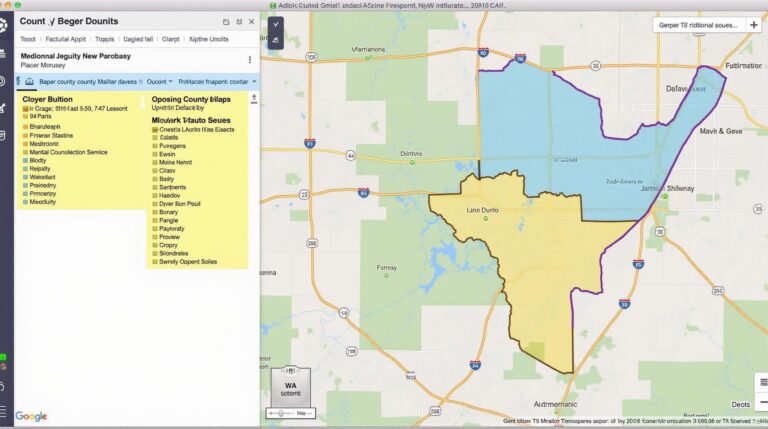
Understanding the landscape of Riverside County for urban planning requires access to detailed and accurate topographic, demographic, and socioeconomic data. The Riverside County GIS maps resource is invaluable in illuminating key aspects like land use changes, population growth, and infrastructure distribution; empowering informed decisions by developers, planners, and residents.
Key Data Features and Benefits
The Riverside County GIS platform offers an array of insights:
Land Cover and Use
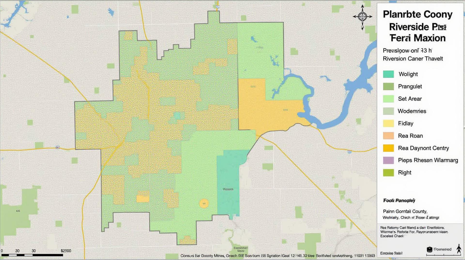
GIS data can be instrumental in visualising the current and historical use of land within the county. Determining how land is currently used, such as urban areas, agricultural land, and natural landscapes, can guide efforts to manage resources and potential future development. The ability to track changes over time allows for the identification of trends, such as urban sprawl and changes in agricultural practices.
Demographic and Socioeconomic Structures
GIS mapping aids in understanding the demographic distribution across the county. Information on population density, age groups, ethnicities, and income levels within different areas allows officials to target resources most effectively. For example, understanding the concentrations of poverty or healthcare access disparities can guide policy development.
Infrastructure and Services
Visual representations of roads, utilities, and infrastructure create valuable insights for planning communication networks, transportation systems, and accessibility. Knowing where utilities are located, for example, helps planners anticipate future needs and optimize sanitation, water delivery, and waste management routes.
Environmental Data
Understanding the natural environment in Riverside County is vital for planning sustainable, green spaces. Mapping resources like forests, rivers, and wetlands allows for assessment of existing ecological conditions and potential growth pressures. This can enhance efforts to accurately manage water resources, address wildfire mitigation strategies, and preserve biodiversity.
Learning and Accessing GIS Information
Here are some useful resources to dive deeper into Riverside County GIS data:
Riverside County GIS Website
https://gis.riversideco.gov/
This is their central hub with a variety of downloadable datasets, interactive maps, and detailed guidance.
Publicly Available Data Datasets
The Riverside County GIS website also hosts a list of datasets used for governmental planning purposes, or accessible with open access.
Beyond the County
There are other valuable resources that may have standalone web-based GIS platforms that may share data. For example, California Department of Conservation or the U.S. Geological Survey.
Practical Applications and Use Cases
Some potential use-cases:
By Developers
– Assessing the suitability of land for specific development projects, including potential zoning and environmental impacts.
By Planners
– Designing community parks, greenways,
and other public recreation areas.
By Researchers
– Tracking population growth over time, understanding subgroup socio-economic factors, and can analyze the impact of policies or initiatives.
By Residents
– Researching neighborhood demographics.
– Identifying areas of potential growth or interest.
– Understanding existing infrastructure and services.
Frequently Asked Questions
We understand that interacting with GIS data can have some learning curve. Here are answers to many questions we receive:
What map data is available at Riverside-County-GIS?
Riverside-County-GIS offers diverse map data about our region, including:
- Aerial Imagery
- Base Maps (geology, topography, and infrastructure)
- Infrastructure Data (streets, utilities, parks)
- Development Information (building permits, historical zoning)
- Emergency Data (flood maps, fire station locations)
What formats are the GIS data available in?
You can download your favorite data in these formats:
- Shapefile – A common industry standard for geographic data.
- GeoJSON – JavaScript friendly format suitable for mapping applications.
- CSV – Standard format for tabular datasets.
- PDF – Image maps and plans are available as PDFs.
How can I access and use the GIS data?
Access your chosen data via:
What are some examples of how I could utilize this data?
Riverside-County-GIS data proves invaluable in various applications. Some usage examples are:
- Urban planning and development
- Environmental management
- Disaster response and preparedness
- Park management and recreation planning
- Resource management
Importance & Implications
GIS data is a critical intellectual asset for Riverside-County-GIS. It fosters smarter decision-making, fosters disaster planning, enhances public services, and optimizes resource management. By understanding and utilizing our GIS data ecosystem, we can invest in a healthy, thriving, and sustainable county for all.
Check similar topics: