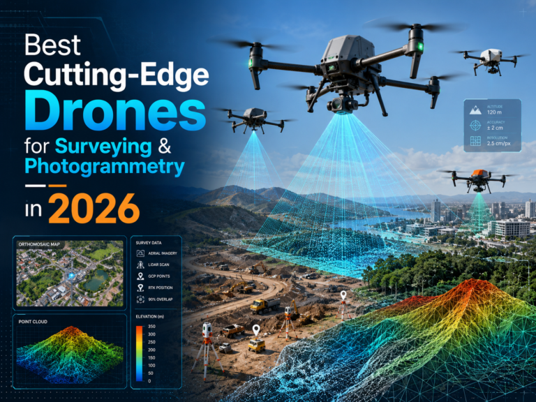
Best Cutting-Edge Drones for Surveying & Photogrammetry in 2026
Table of Contents Drone surveying has moved from a specialist add-on to a core geospatial workflow. In 2026, the best drones for surveying photogrammetry 2026 are not simply the drones with the longest flight time or the highest camera resolution. The strongest platforms combine RTK or PPK positioning, reliable flight planning, high-quality sensors, repeatable workflows, and compatibility…