AI in Geospatial Data Visualization – Interactive Maps
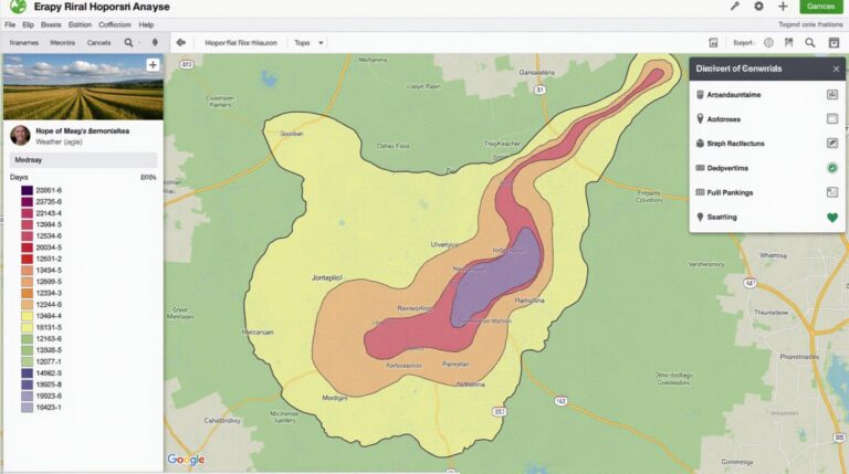
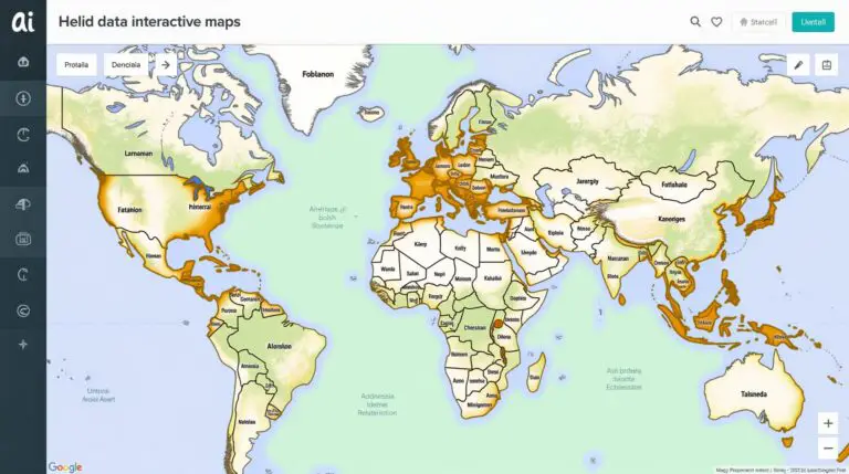
AI in Geospatial Data Visualization – Interactive Maps The world is brimming with data—and a vast majority of it resides within the realm of geospatial contexts. Analyzing this data, however, requires intricate tools and effective techniques for effective presentation. Enter Artificial Intelligence (AI), specifically its prowess in geospatial data visualization, that’s bringing about interactive maps…