AI for Geospatial Data Compression – Efficient Storage
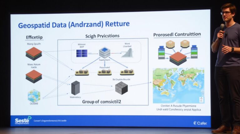
AI for Geospatial Data Compression: Efficient Storage The global demand for geospatial data is growing exponentially, driving a need to optimize storage and analysis capabilities. Traditional methods like raster format often struggle with large datasets, particularly in a world increasingly dominated by high-resolution remote sensing imagery, detailed maps, and dynamic GIS models. This is where…