ai-driven-mapping-solutions-automated-cartography

AI-Driven Mapping Solutions – Automated Mapping

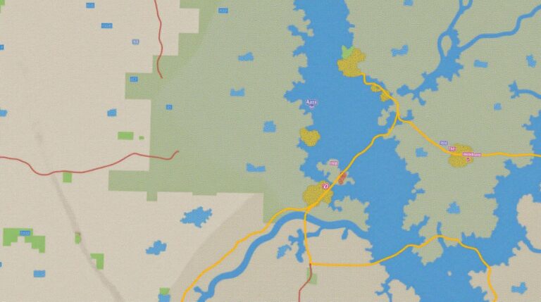
AI-Driven Mapping Solutions: Automated Mapping What is GeoAI? GeoAI, or Geospatial Artificial Intelligence, is a rapidly evolving field that combines the power of artificial intelligence (AI) and geospatial data. Think of it as a powerful force marrying machine learning, algorithms, and massive datasets, all concentrated on analyzing and interpreting our increasingly complex and dynamic world…

geoai-artificial-intelligence-autonomous-vehicles

GeoAI and Artificial Intelligence for Autonomous Vehicles – Self-driving Cars

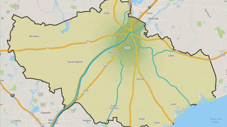
GeoAI and Artificial Intelligence for Autonomous Vehicles – Self-Driving Cars What is GeoAI, and how does it power autonomous vehicles? The world of self-driving cars involves a fascinating convergence of Artificial Intelligence (AI) and Geospatial data. GeoAI, or Geographical Artificial Intelligence, is the application of AI technologies to geographical data to solve real-world problems. In…

ai-geospatial-analytics-sustainable-development

AI in Geospatial Analytics for Sustainable Development – Resource Management

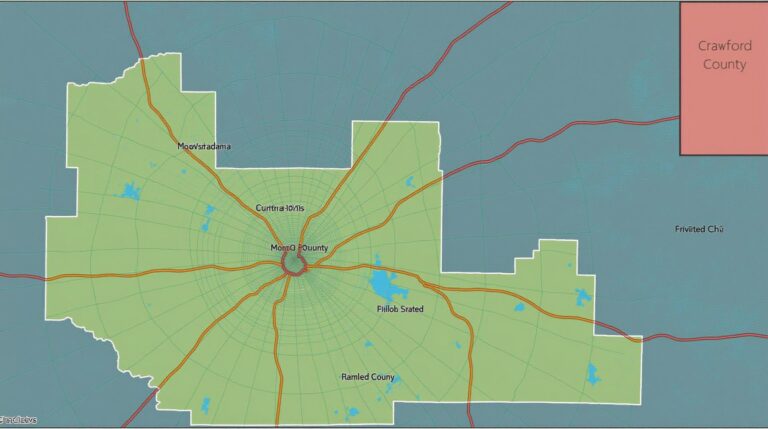
AI in Geospatial Analytics for Sustainable Development – Resource Management In today’s world, sustainable development is a priority, and resource management is central. Traditional methods often struggle to incorporate the vast and dynamic potential of our planet’s data space. This is where GeoAI enters the picture, offering a sophisticated and data-driven solution. This post explores…

geoai-in-maritime-navigation-shipping-routes

Exploring GeoAI in Maritime Navigation – Shipping Routes

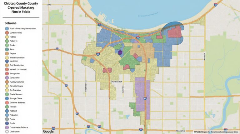
Exploring GeoAI in Maritime Navigation – Shipping Routes A Deep Dive into the Future of Logistics The shipping industry is going through a significant transformation thanks to the emergence of Artificial Intelligence (AI) – particularly GeoAI (geospatial AI). This powerful technology is transforming maritime logistics by enhancing navigation, route planning, and overall efficiency. Let’s dive…

ai-enhancing-geospatial-data-accuracy-location-intelligence

AI for Enhancing Geospatial Data Accuracy – Precision Mapping

AI for Enhancing Geospatial Data Accuracy: Precision Mapping In a world increasingly reliant on data, geospatial information – where location becomes a crucial identifier – holds enormous potential. From climate change monitoring to smart city planning, the insights gleaned from accurate geospatial data drive critical decision-making. Unfortunately, traditional methods often struggle with data acquisition, processing,…

geoai-urban-heat-island-detection-city-planning

GeoAI for Urban Heat Island Detection – Climate Monitoring

GeoAI for Urban Heat Island Detection – Climate Monitoring Welcome to a new era of urban heat island (UHI) analysis! GeoAI, combining geospatial data with advanced artificial intelligence, holds the key to monitor and mitigate the urban heat island effect, paving the way for a more sustainable future. This article explores the core concepts of…

geoai-disaster-prediction-earthquake-flood-mapping

How GeoAI Enhances Disaster Prediction – Earthquake Forecasting

How GeoAI Enhances Disaster Prediction – Earthquake Forecasting Disasters, whether natural or man-made, pose significant threats to human safety and infrastructure. While predicting their exact timing and magnitude remains a challenge for scientists and engineers, geoAI, or Geospatial Artificial Intelligence, offers a powerful new tool in our arsenal for forecasting and minimizing the impacts of…

geoai-climate-change-prediction-environmental-modeling

Using GeoAI for Climate Change Prediction – Environmental Modeling

Using GeoAI for Climate Change Prediction – Environmental Modeling The global climate is undergoing a rapid transformation shaped by human activity. Understanding and predicting these changes is critical to mitigating their consequences and paving the way for sustainable solutions. Enter GeoAI, a powerful tool that leverages the convergence of geographic data and artificial intelligence to…

geoai-wildlife-conservation-habitat-species-tracking

GeoAI in Wildlife Conservation – Habitat Mapping

GeoAI in Wildlife Conservation – Habitat Mapping The future of wildlife conservation often hinges on data – a vast ocean of information about animal locations, breeding habits, and the changing landscapes they inhabit. Enter geospatial artificial intelligence (GeoAI), a powerful tool revolutionizing how we manage our planet’s biodiversity. Specifically, GeoAI plays a crucial role in…

deep-learning-geospatial-image-analysis

Deep Learning for Geospatial Image Analysis – Satellite Imagery

Deep Learning for Geospatial Image Analysis: Revolutionizing Satellite Imagery Satellite imagery has become an indispensable tool for understanding our planet, providing a wealth of information about land cover changes, natural disasters, and various environmental phenomena. But extracting meaningful insights from this vast data has long been a challenging task. Enter Geospatial Artificial Intelligence (GeoAI), powered…