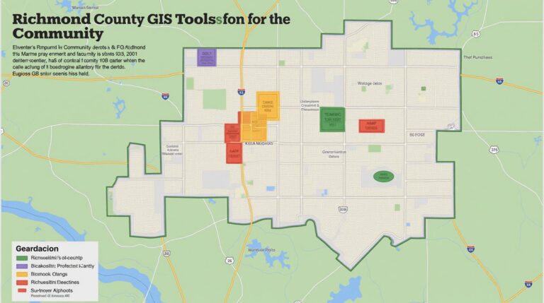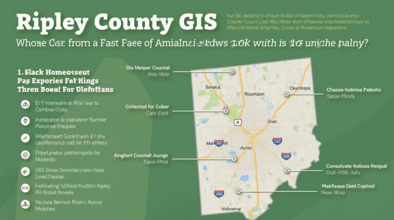
Ripley County GIS: Local Insights at Your Fingertips
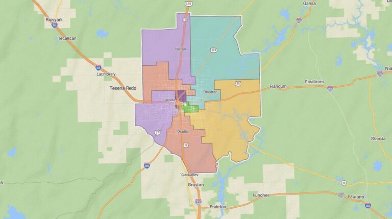
Ripley County GIS: Local Insights at Your Fingertips Welcome to the interactive world of Ripley County GIS! Do you want to understand just how your community’s infrastructure works, or maybe you’re looking to pinpoint the best location for a new business? This comprehensive guide will explore the power of geographic information systems (GIS) within Ripley…