Davie County GIS: Your Local Data Resource
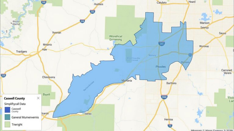
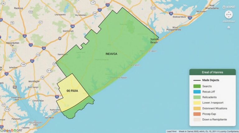
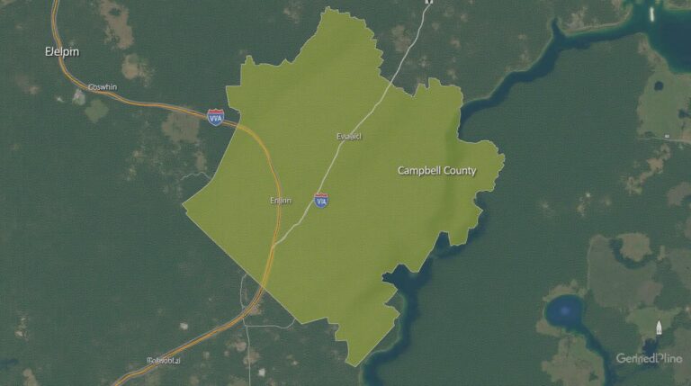
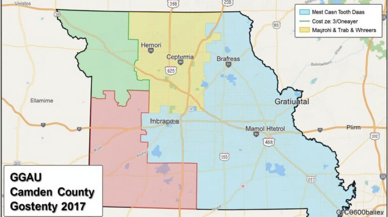
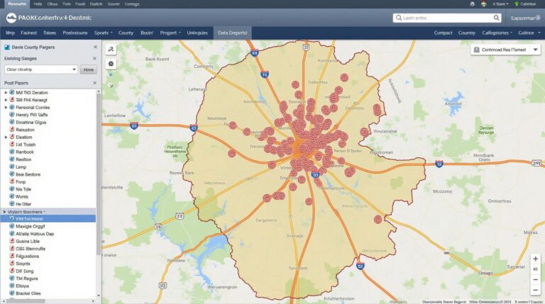
Davie County GIS: Your Local Data Resource **Understanding GIS and Its Impact on Davie County** Geographic Information System (GIS) data unlocks the hidden potential within geographical locations, providing valuable insights and impactful visualizations for public, private, and academic entities. Davie County, like many others, has embraced GIS technology. It offers a vital resource for residents,…